Press "Enter" to skip to content

Tag: gpx

Ouray Perimeter Trail

Saturday, June 18, 2016

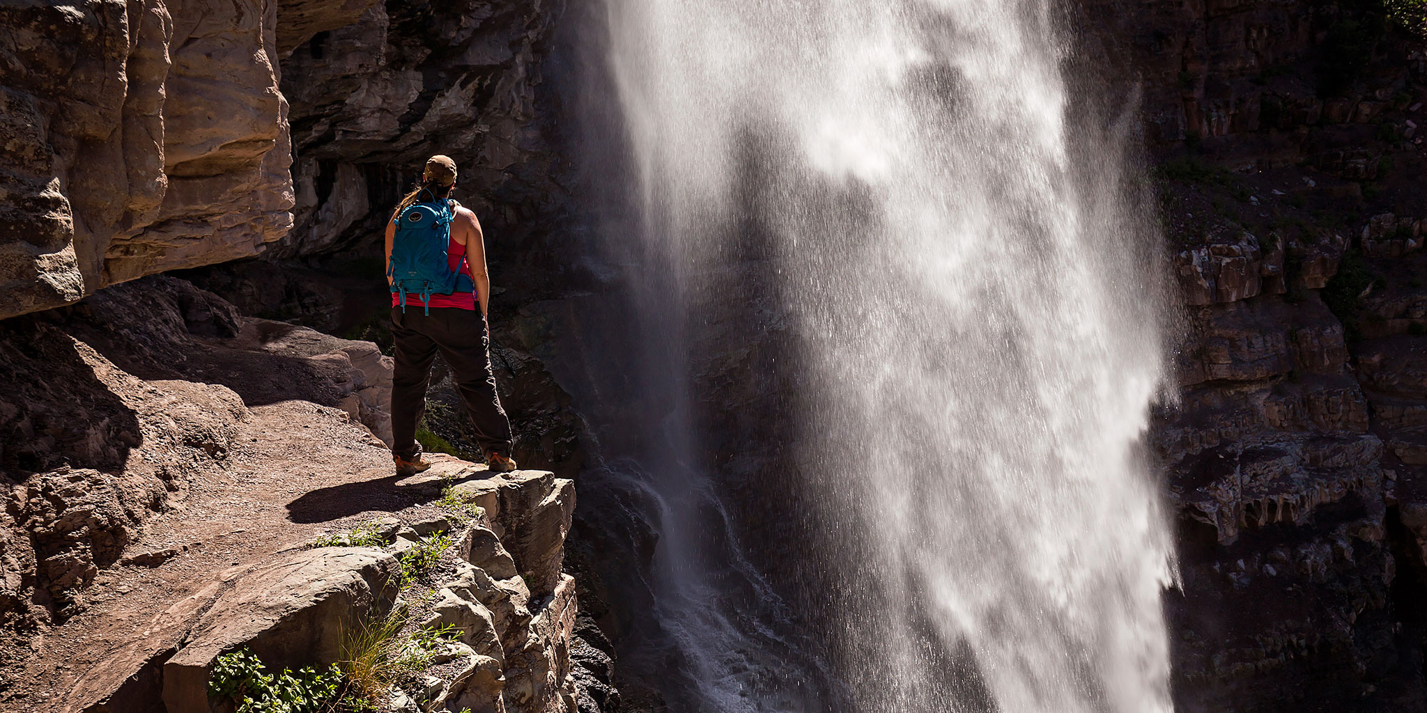
After spending last Sunday hiking just outside of Ouray, Diane and I decided to head back again today for another hike near town. I’ve wanted to hike the Ouray Perimeter Trail for a while and though that this would be a good weekend to do it. While I’ve hiked bits and pieces of the loop before, since it connects up with other shorter trails in the area, I wanted to complete the entire loop in one shot. When doing a little research on the hike, I found out that they may have recently extended the trail to include part of the Twin Peaks trail that I had hiked last year. I couldn’t find any information about this new section online, so I was looking forward to checking it out.

1 Comment

Sutton Mine Trail

Sunday, June 12, 2016

June is that time of year when the desert starts getting too hot for me and I start looking towards the mountains. After hiking Professor Creek on Saturday, I thought it would be nice to drive down to Ouray on Sunday for my first mountain hike of the season. Diane had school work to get done on Sunday so I would be on my own this time. I decided to start with an easier hike and chose the Sutton Mine Trail which is just outside of town and only about 4.5 miles round trip with about 1,500 feet of elevation gain. While this trail is called the Sutton Mine Trail, the main trail does not actually climb up to the Sutton Mine and instead ends at the Neosho Mine. If you’ve ever driven over Red Mountain Pass between Ouray and Silverton, you might have noticed a building with an ‘Antiques’ sign on it near the Bear Creek bridge. That is the final destination of this trail and is part of the Neosho Mine.

2 Comments

Devil’s Canyon

Sunday, April 10, 2016

A hike into Devil’s Canyon is always a good way to spend a few hours on a Sunday afternoon. Since it rained for much of the weekend and I was able to get some work done on my Jeep on Saturday, Diane and I decided to go hiking in the McInnis Canyons National Conservation Area late on Sunday morning since it looked like the rain was done for a while. We hiked to the old cabin in Devil’s Canyon on the D3 Trail and then completed the loop back to the trailhead. As we started the hike, the creek in Devil’s Canyon was flowing from all the recent rain and it was also pretty humid out.

Leave a Comment

Colorado National Monument Western Loop

Colorado National Monument Traverse III
Sunday, March 20, 2016

After our overnight hike along the Black Ridge Loop in the Colorado National Monument last year Diane had mentioned to me that she enjoyed the hike up the Fruita Dugway and wanted to hike it again, so this year I planned a different loop that included the Fruita Dugway, Black Ridge Trail, CCC Trail and then returned down Monument Canyon. It would make a nice 13.5 mile loop on the western side of the Monument. We dropped my Jeep off at the Lower Monument Canyon Trailhead shortly before sunrise and then drove over to the Fruita Dugway Trailhead and started climbing the trail as the sun was coming up for the day. The Fruita Dugway is probably one of my favorite and often overlooked trails in the Colorado National Monument.

Leave a Comment

Moore Fun East

Monday, March 14, 2016

After hiking the west side of the Moore Fun trail last week, I headed back to the Kokopelli Trailhead after work this evening to hike the east side of the trail to it’s high point. While the trailhead was actually closer to the high point on this side, the trail was full of switchbacks and the length was a bit longer. With a storm moving across the valley it was very windy the entire hike but I did manage to miss the rain and I wouldn’t see the first raindrops of the incoming storm until I was almost home.

Leave a Comment