Press "Enter" to skip to content

Month: September 2021

Highpoint of the Grand Mesa: Crater Peak

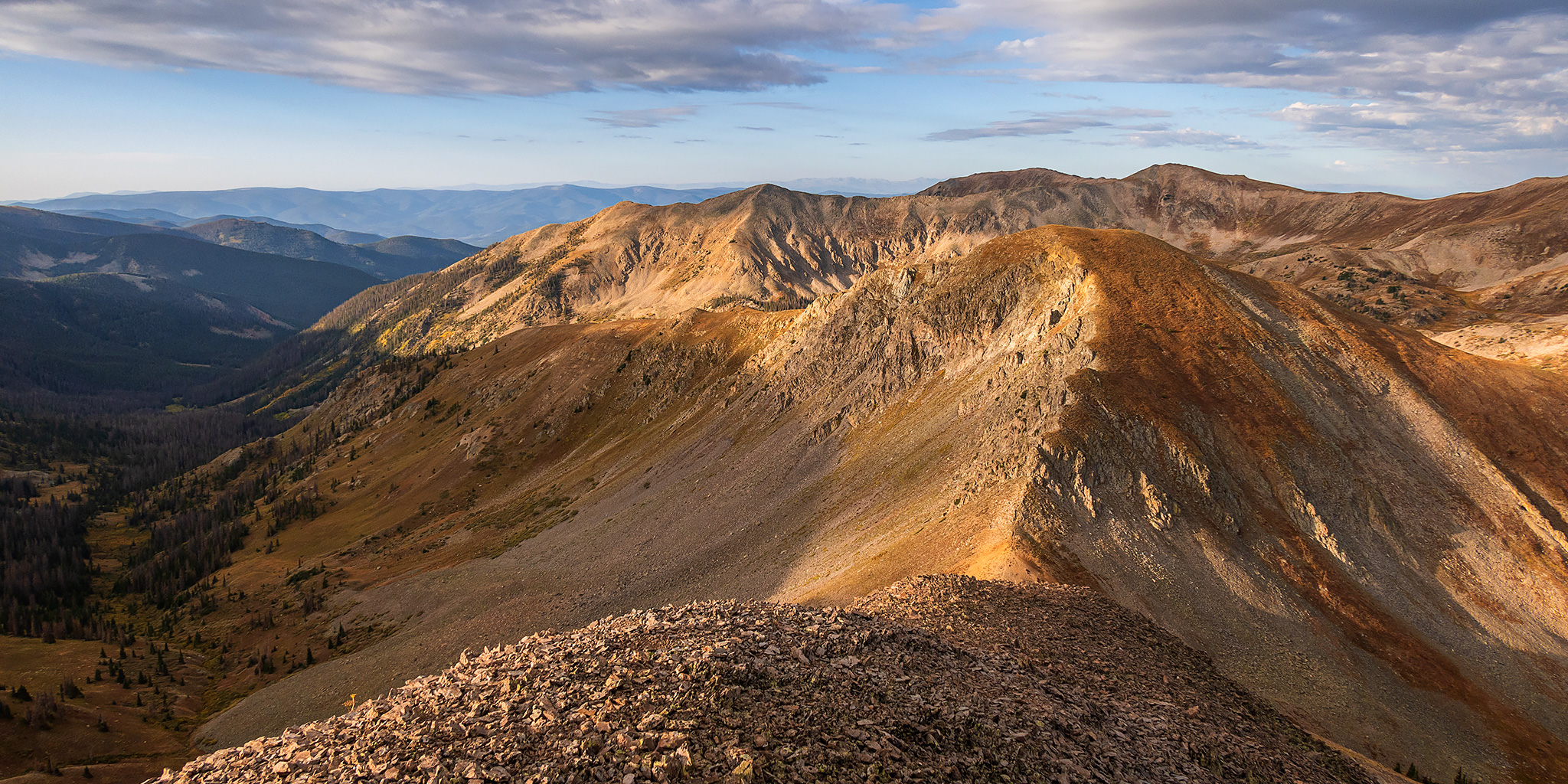
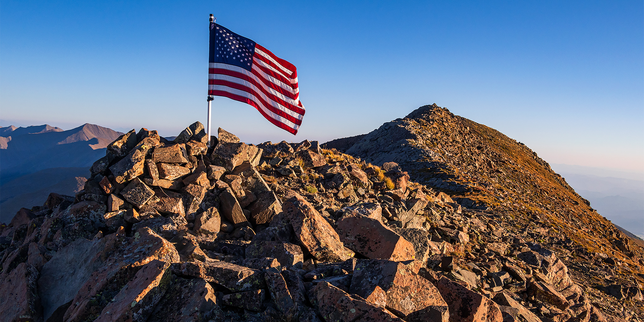
Goodenough Reservoir Peaks: Mount Darline & Mount Hatten
Friday & Saturday, September 24-25, 2021

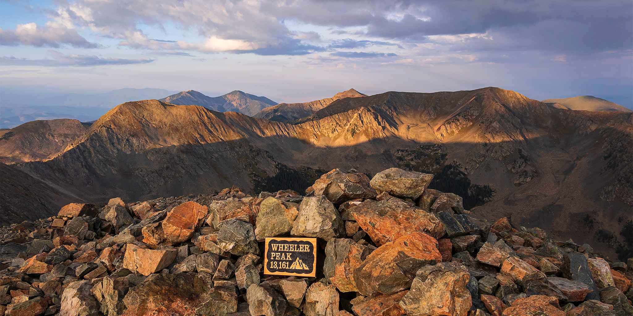
After spending a few days on the Green River earlier in the week, I would be leaving for a full week of exploration on the Colorado Plateau this upcoming Friday, so this weekend would be my last opportunity to get into the high country for some peak-bagging to finish off the summer season. I needed this to be a quick trip near home so I could be back by Saturday afternoon to start preparing for the upcoming trip to southern Utah next week, so I thought this would be the perfect opportunity to hike to the highest point on the Grand Mesa. Although I have already hiked to the old fire lookout on Leon Peak (11,236), which is the highest point in Mesa County and located on the Grand Mesa, Crater Peak (11,327) in Delta County is actually the highest point on the Grand Mesa.

Leave a Comment

ABC’s of the Green River: Red Canyon to Browns Park

Flaming Gorge Dam to the Swinging Bridge | High CFS: 1,870 – Low CFS: 1,240
Saturday – Tuesday, September 18-21, 2021

The middle and latter part of September is probably my favorite time of the year to go on a nice relaxing river trip. The heat of summer is starting to diminish, but it’s still usually warm enough to go for a swim. The rivers are lower and slower making a more enjoyable trip for those of us who aren’t really into the swift water and big rapids. The low water also means there are a lot of sandbars for camping on, which is my favorite kind of camping. The nights are beginning to to get longer and cooler and most of the bugs are usually gone! What more could you ask for? After spending a few days on the Colorado River in Canyonlands National Park last September, this year Jackson, Chris and I decided to follow in the footsteps of John Wesley Powell again and check out the Green River just below the Flaming Gorge Dam from Red Canyon to Browns Park. This segment of the Green River is known as the ‘ABC’ section because it is divided into three different sections; Section A from the Flaming Gorge Dam to Little Hole is about 7 miles, Section B from Little Hole to Indian Crossing is about 8 miles, and Section C from Indian Crossing to Swinging Bridge is about 15 miles- for a total of about 30 miles. We planned to do the whole stretch.

2 Comments

Southern Sawatch Saweekend

Friday – Sunday, September 10-12, 2021

This weekend was going to be the last opportunity for me to hike a 14er this summer, and since I have climbed at least one 14er each summer since 2010 I was originally planning to. However, as I started figuring out my weekend plans I just wasn’t feeling like hiking on a busy trail and was looking for a little more solitude, so I decided to skip the 14ers this year and headed to the southern Sawatch Range to hike a few peaks along the Continental Divide instead. I left from work on Friday afternoon and headed to Gunnison, taking the route through Hotchkiss and Crawford since Highway 50 is still closed until 5:30pm on weekdays and I wasn’t sure how quickly I would get to that point. I topped off my fuel tank in Gunnison and then made my way over to Pitkin and started up the road to Hancock Pass. Unfortunately, the road near the top of the pass was much rougher than I remember it being and I wasn’t comfortable driving a section of it in the dark, so I returned all the way back to Highway 50 and drove over Monarch Pass to the Middle Fork of the South Arkansas River and found a place to spend the night shortly before the end of that road. It was pretty late by the time I arrived, so I went right to bed.

Leave a Comment

Sangre de Cristo Mountains: Hermit Pass Peaks

Rito Alto Peak & Hermit Peak | Saturday & Sunday, September 4-5, 2021

After spending the last couple days hiking high points in Arizona and New Mexico, it was now time to start heading back home through Colorado, but of course I planned to hike at least a couple more peaks on the way back! As I followed the Sangre de Cristo Mountains north out of New Mexico and into Colorado I thought it would be a good time to hike some peaks in that range since it’s been quite a while since I’ve spent any time there. Originally, I was considering continuing my quest of the The Four Sacred Mountains of the Navajo by hiking Blanca Peak, but didn’t think that would be a good place to find much solitude now, especially in the middle of a holiday weekend. I think I’ll save the last two Sacred Peaks for a little road trip next summer. Instead, I decided to head up the road to Hermit Pass near Westcliffe so I could not only hike some high 13ers, but also so I could drive up to a pass that I had never been to before. The road was not difficult or dangerous, but it was very bumpy, slow and annoying. I found a place to spend the night above Horseshoe Lake and then spent the rest of the evening relaxing at camp and watching the clouds move through the sky as sunset approached.

2 Comments

The Highest Peak in New Mexico: Wheeler Peak

Finishing the Four Corners State High Points | Friday & Saturday, September 3-4, 2021

After climbing Humphreys Peak on Thursday, and then spending this morning on Mount Taylor near Grants, it was now finally time to finish off the Four Corner state high points with Wheeler Peak in New Mexico. Following my short visit to the La Cieneguilla Petroglyphs near Santa Fe this afternoon, I continued north to Taos and then headed up to the trailhead in the Taos Ski Valley. I was hoping to find a place to spend the night along the way, but the Taos Ski Valley was not really my kind of place to visit and camping options were very limited. Luckily, just before leaving home I had thrown my backpacking gear into the Jeep, just in case, so I thought it would probably be a better idea to just backpack up to Williams Lake in the late afternoon and then hike to the summit of Wheeler Peak first thing in the morning. The weather forecast for the rest of the evening was looking good, so that’s what I decided to do. The hike up to Williams Lake is not very long, just under 2 miles with about 1,000 feet of elevation gain, so it didn’t take me long to reach the lake, but like the other hikes I had done earlier in the day, it was still very humid out.

3 Comments