Mountains of Minerals | Thursday – Friday, July 2-3, 2026
This week I had Friday off from work for the Independence Day holiday and planned to spend it in the San Juan Triangle hiking around Cleveland Gulch from Cinnamon Pass to the ridge above Schafer Basin. Although there are quite a few large wildfires burning in Colorado, Utah and Arizona right now, this particular area was being spared from most of the smoke and seemed like a good place to go. I left from work on Thursday afternoon and initially thought I was going to have to drive the long way around to Lake City since Highway 550 had been closed earlier in the week due to the Gold Mountain Fire near Ouray, but luckily it had just been reopened on Wednesday afternoon. When I stopped to top off my gas tank in Montrose I double-checked COtrip one last time to make sure that Highway 550 was actually still open, and it was, so I carried on driving towards Ouray. Of course it figures, by the time I made it past Ridgway the road had been closed again! Thankfully, this time traffic was just being rerouted on County Road 23 instead of having to go the long way around, so it only slowed me down a little.
This was my first view of the Gold Mountain Fire taken shortly before reaching Ridgway. I actually took a photo of those same cliffs from the Cow Creek Road just over a month ago!

I managed to catch this plane dropping fire retardant while I was taking a quick photo of the fire closer to Ouray.

This big flare up caught my attention out of the corner of my eye.

Looking up into the Cutler Creek area.

The fire was beginning to travel up Baldy Peak.

After finishing the drive over Red Mountain Pass to Silverton, I followed the Animas River to Animas Forks and then drove up to Cinnamon Pass. I still had plenty of time before sunset, so I went for a hike across the alpine tundra to the summit of Edith Mountain, which is a peak I’ve had my eye on for many years and was looking forward to finally checking it out.
I passed by this small tarn as I followed a faint, old mining road above Cinnamon Pass.


It doesn’t look like much from up here because it is surrounded by much higher peaks, but that is the summit of Edith Mountain straight ahead at the end of the ridge.

It was nice that most of the smoke was missing this area, but I could see the huge plume of smoke from the Gold Mountain Fire to the north.

Looking across the valley to Handies Peak.

Cleveland Gulch

As I neared the summit there was a good view into American Basin.

Jones Mountain

I liked this angle and view of Handies Peak.

Rock Glacier

Following the short rocky ridge to the summit of Edith Mountain.

That little pile of rocks marks the summit. I continued out to the end for a better view.

There was a nice view over Burrows Park.

Redcloud Peak was straight ahead.

There was a good view up Cooper Creek from the end.

Looking back to Sunshine Peak and Redcloud Peak as I started hiking back.

I went back a different way and followed the ridge up above Edith Mountain.


Edith Ridge Highpoint

Handies Peak Reflection

Whitecross Mountain

I made it back to Cinnamon Pass shortly before sunset.

Nice light on the ridge above Cinnamon Pass.

I didn’t sleep well at all overnight, but I still got up early and was hiking to Cleveland Gulch at dawn.

I wasn’t in a good place to watch the sunrise this morning, but the light did strike a few of the peaks above me.

Looking down into Cleveland Gulch as I followed an old mining road around the head of the gulch.

That’s Edith Mountain on the other side of the gulch.

Wood Mountain

When the old road neared a saddle on the other side of the gulch, I climbed up for a view to the north.

There was no huge plume of smoke yet this morning, but the Uncompahgre Wilderness was engulfed in smoke.

I followed the ridge to the summit of PT 13427.

PT 13427 Summit

There was a nice view into Schafer Basin from the summit.

A view from the summit to the smoky Uncompahgre Wilderness.

Smoky Uncompahgre

Coxcomb & Redcliff Smoke

Wetterhorn & Matterhorn Smoke

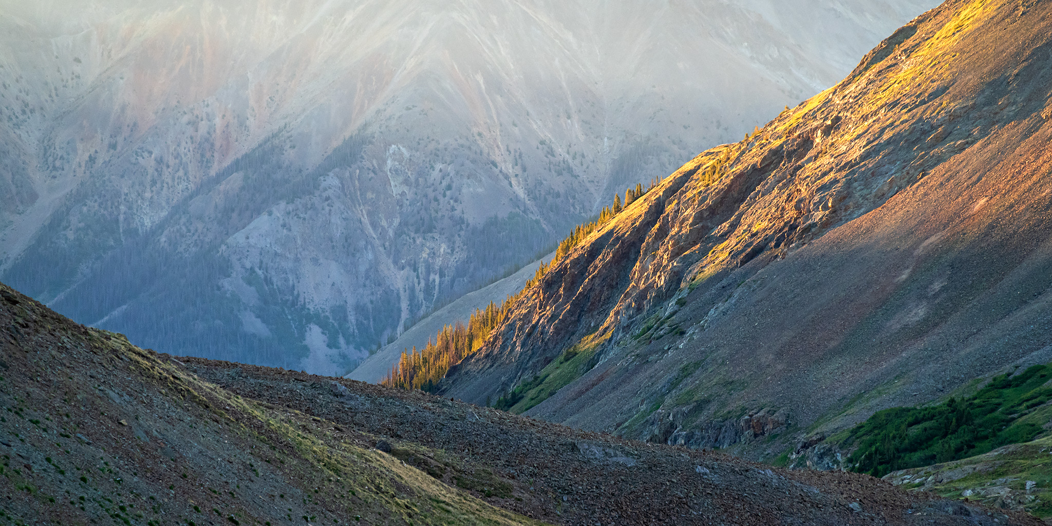
Basin Abstract

American Flats & Wildhorse Peak

Overlooking Cleveland Gulch as I started hiking back to Cinnamon Pass.

Following the old mining road through Cleveland Gulch.

When I reached my vehicle at the pass I was still pretty tired from not sleeping well overnight and even though I was originally planning to head over to the La Sal Mountains next, I decided it would probably be better if I went home to get some rest instead. Since I didn’t have any signal and couldn’t check on the current status of Highway 550, I thought it would be best if I drove home through Lake City this time, so that’s the direction I went.
Here’s a view of Edith Mountain as I drove through Burrows Park on my way to Lake City. It certainly looks much different from this vantage point!
