Ouray Trails | Sunday, May 31, 2026
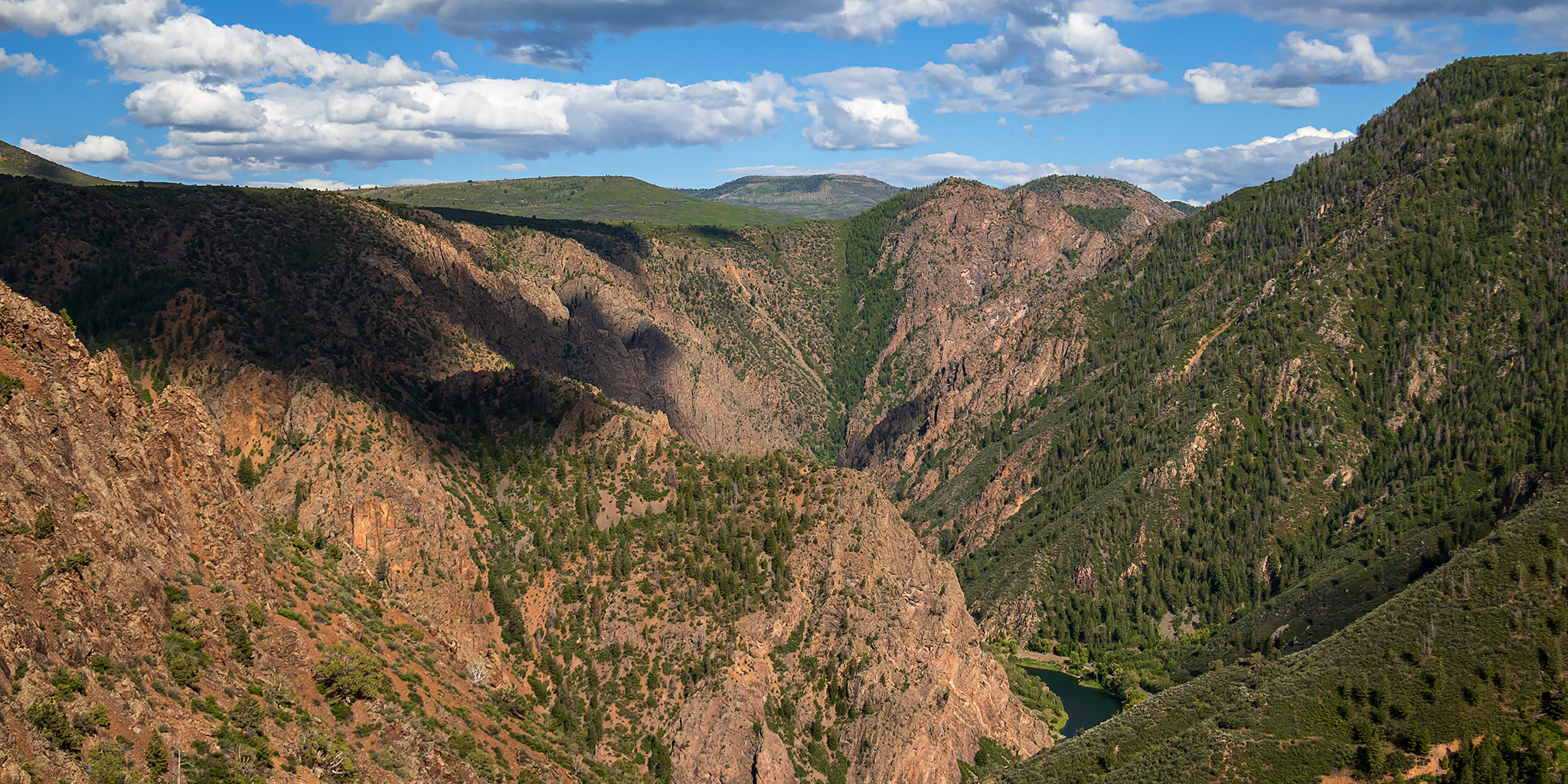
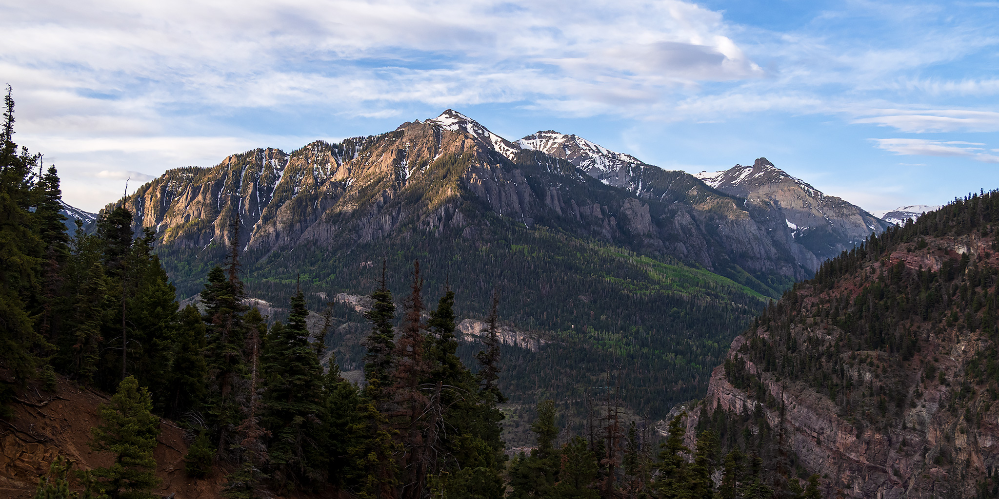
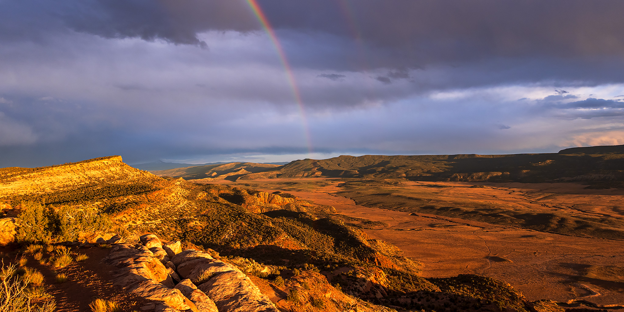
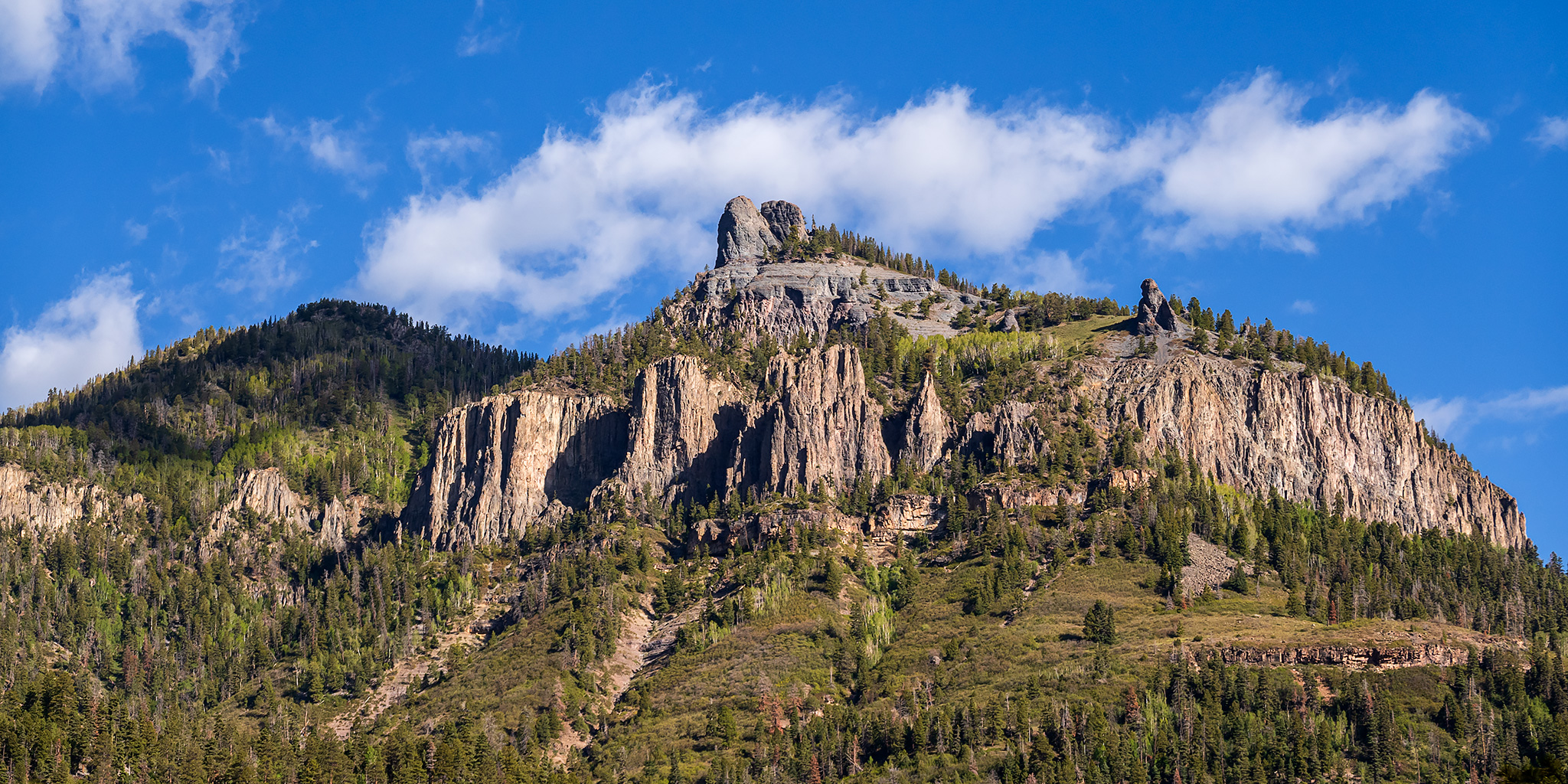
I recently realized that it has been almost ten years since I last hiked the Ouray Perimeter Trail, and at that time the entire loop was not even fully completed yet. Although I have hiked all the newly created segments since then, I had not hiked the entire loop in one shot again and was interested in finally doing that. Plus, since Ouray is celebrating its 150th birthday this year I though that this would be a great way for me to partake in the sesquicentennial celebration in my own way! So after spending the night just outside of Montrose I was up well before sunrise and made my way into Ouray so I could get an early start hiking the Perimeter Trail around town.
Leave a Comment