La Sal Mountains | Saturday, July 4, 2026
After spending Friday morning hiking around Cleveland Gulch in the San Juan Triangle, I returned home later in the afternoon and got a really good night of sleep and then had a nice relaxing morning on Saturday. I was well rested and feeling like I should go on a short day trip up into the La Sal Mountains since I hadn’t been back to that range in over two years and really wanted to get up there again this summer. After checking the smoke forecast earlier in the morning it looked like the smoke was supposed to mostly clear out in the afternoon, so I left home after noon and made my way through Unaweep Canyon to Gateway and then followed the backroads up into Beaver Basin to start the short hike that I had in mind. I had actually planned to hike from Beaver Basin with Jackson and his family in June of last year, but ended up having issues with my Jeep when we arrived and decided it would be best to turn around and head home before we could begin, so I was happy to finally return!
I stopped to take a photo of a bear that ran across the road here, but I was too slow to get a shot before it disappeared into the trees.

I didn’t find any trail at the end of the road to follow, so I started hiking up the basin with Mount Waas off to my right.

After climbing to the top of the ridge on my left, I found the beginning of the trail that would take me the rest of the way to Jackass Pass.

Once I was on the trail, it left the trees and the views of the basin opened up.

Dry Peak was my destination and it’s located just on the other side of the pass.

Jackass Pass

As I hiked to the summit of Dry Peak there was a smoky view over the Dry Fork of Mill Creek. There was too much smoke in the air that direction to see much of the desert lands below.

It wasn’t long until I was standing on the summit of Dry Peak.

From the summit I could see beyond Mill Creek Peak to the rest of the La Sal Mountains to the south.

Overlooking Beaver Basin to the Uncompahgre Plateau. It was quite a bit less smoky in this direction.

Looking back over Jackass Pass to Pilot Mountain.

Red Wedge & White Knob

I continued over the top of Dry Peak and then descended down the ridge on the other side to the saddle below Manns Peak.

Rugged View

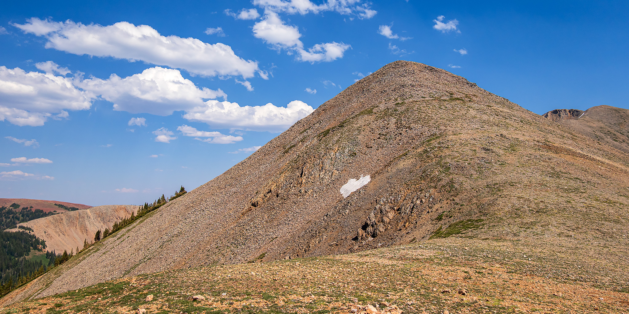
Here’s the other side of Dry Peak from the saddle.

There was a good view from the saddle.


I followed the Manns Peak Trail from the saddle back to Jackass Pass.

Here’s one final look up at Dry Peak before I started hiking back down into Beaver Basin.

Red Wedge

Jackass Pass Trail

Dry Peak & Manns Peak

When I returned to my vehicle I left Beaver Basin and then drove back home. It was a nice little afternoon hike up in the mountains.

