Lost in the West End | Friday – Sunday, May 22-24, 2026
After finally taking the time to drive the entire Rimrocker Trail back in 2024 I’ve wanted to return to the West End so I could explore more of the many old mining roads that are found around the Paradox Valley. I figured that the Memorial Day weekend would be a good time to finally do this trip since I was pretty sure this part of the Colorado Plateau would be considerably less busy than some of the more popular areas in the mountains. With temperatures warming up in the high desert and snow in the mountains melting quickly, I’m pretty sure that this will be my last desert trip until the fall as I start concentrating on the rivers and mountains for the next few months. After leaving work on Friday afternoon I drove through Unaweep Canyon to Gateway, topped off my gas tank and then continued up the Dolores River into the heart of the West End.
After following the trickle of the Dolores and San Miguel Rivers to Uravan, I followed some old mining roads up onto Sawtooth Ridge and Long Park.

This old truck cab was found along the road near the Tramp No. 2 Mine.

I stopped to check out the Buck Shot Mine high above the Dolores River.

Driving through Uranium Country

There was a good view over to the southwestern edge Uncompahgre Plateau from this area.

Sunbeam Mine

Long Park Mine

After going for a short hike in search of some petroglyphs and coming up empty, I watched a beautiful sunset as I searched for a campsite.

Long Park Road

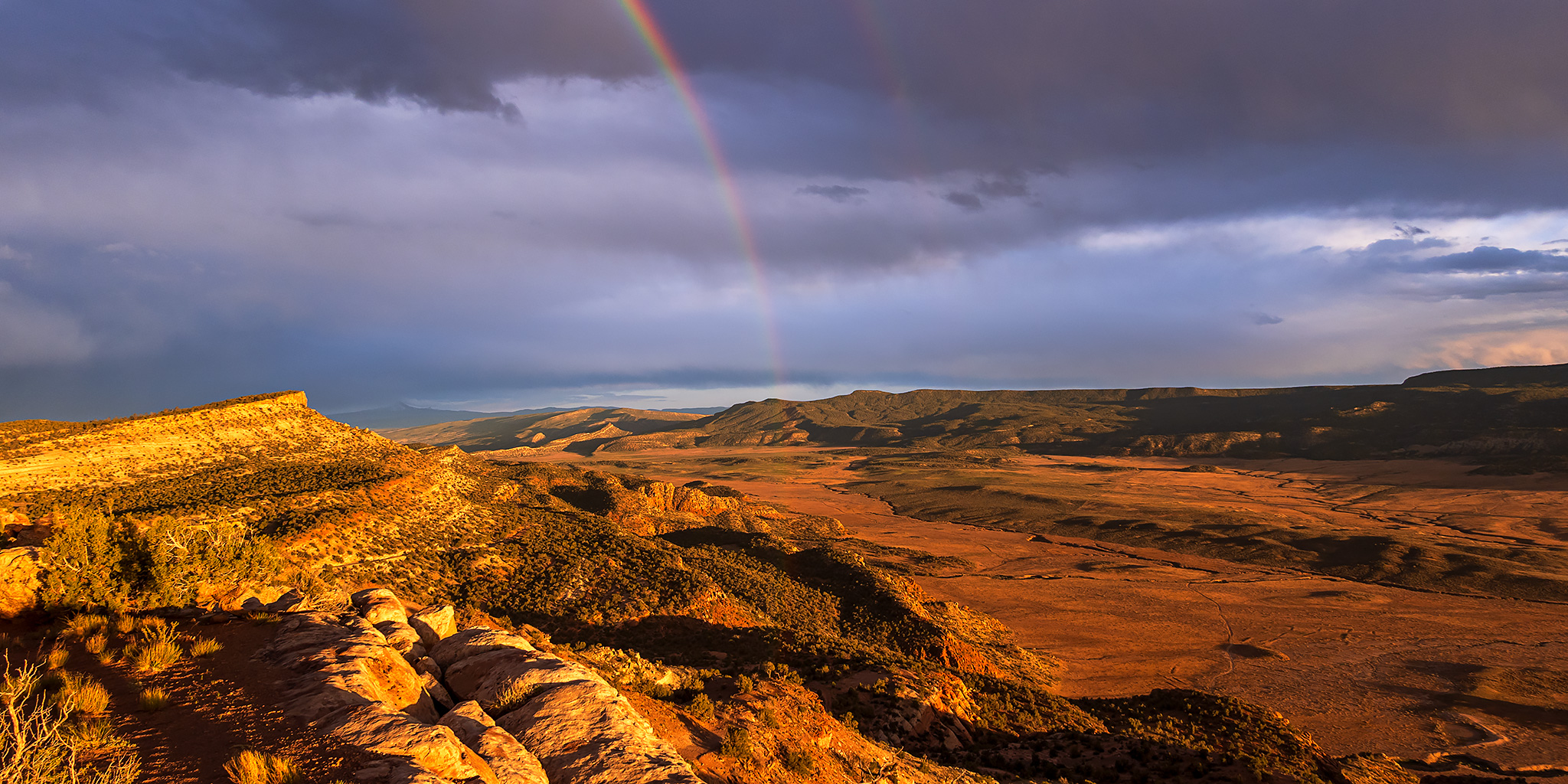
A rainbow appeared right after I found a great campsite above Paradox Valley!

Sawtooth Ridge Camp

Sunset Rainbow at Camp

Paradox Valley Rainbow

I love the way the light is catching the ridges in this scene with Lone Cone in the background.

Eventually, the rainbow began to disappear.

The sky stayed full of color well into dusk.

Once the color and light finally left the sky I got into my sleeping bag and went to bed early. On Saturday morning I was up early and went back to search for those same petroglyphs, but came back empty handed yet again! After the hike I drove across Paradox Valley and up onto Monogram Mesa on the other side so I could explore a few more old mining tracks.
Monogram Mesa Mileages

Bull Canyon

I stopped to check out Indian Henry’s Cabin which was built by Henry Huff in 1906.

I followed the road out of Bull Canyon and onto the benches above the Dolores River.

Near the end of the road I got out and walked to the edge for a view over Slick Rock Canyon from just above The Grotto.

The Grotto Bend of the Dolores River

While back on the road below Wedding Bell Mountain I passed by the Babe Ruth Mine.

There was an expansive view over the Dolores River country near the Rim Rock Mine.

After eating an early dinner in Naturita I drove back through the Paradox Valley and followed a few backroads up into the Manti – La Sal National Forest.

Spotlight on Carpenter Ridge

I crossed over the state line into Utah and followed Pine Ridge to Ray Mesa.

I drove a dusty loop around Ray Mesa.

After leaving Ray Mesa I went on a short hike to find the northern angle point of the Colorado – Utah border to see if there was any kind of marker located there. For those unfamiliar, there is a jog in the state line in this area because of an error during the 1879 survey.

I was happy to find that there was a cairn and a marker at the point. I guess now I will have to look for the southern angle point the next time I am in that area…

The marker was actually a bit newer than what I was expecting to find.

A view of Ray Mesa as I followed La Sal Creek back into Colorado and started to look for a campsite.

I found a nice campsite with a great view just above West Paradox Creek and watched the light change until sunset.

Paradox Valley

West Paradox Creek

Carpenter Ridge

The color and shape of this cloud caught my eye.

Paradox Sky

I spent Sunday morning revisiting a few petroglyph sites until it started to get warm out and then I headed up into the San Juan Mountains near Ouray so I could get a little high-elevation hiking in to begin my mountain season.

Petroglyphs of Paradox Valley
While I had hoped to find a few new petroglyphs this weekend, I came up empty handed this time. That’s just the way it goes sometimes, but at least I was able to revisit some amazing sites that I hadn’t been back to in quite a while! Here are some photos of the petroglyphs I did see.


