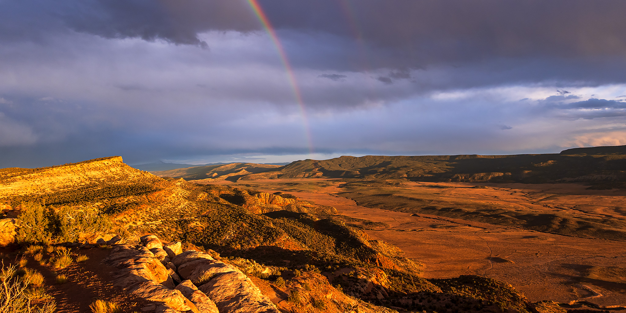
Black Canyon of the Gunnison | Saturday, May 30, 2026
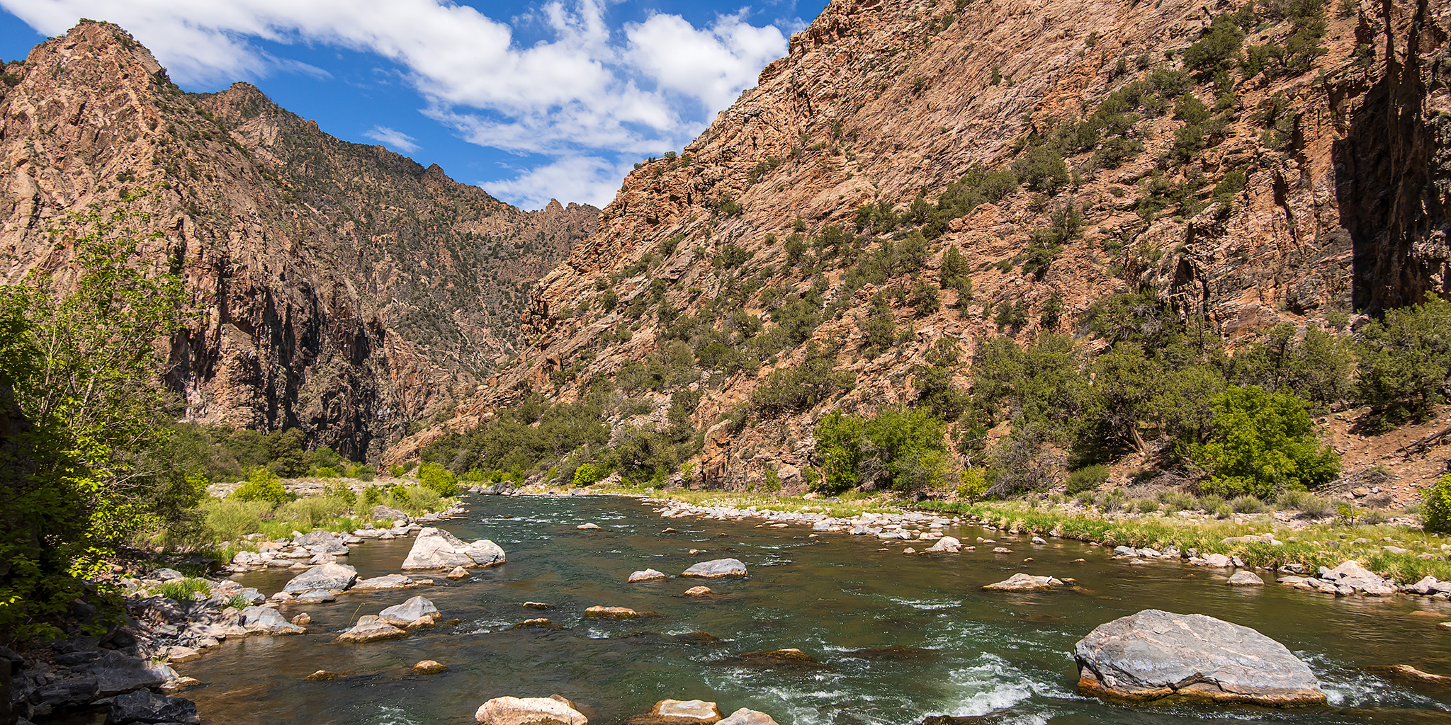
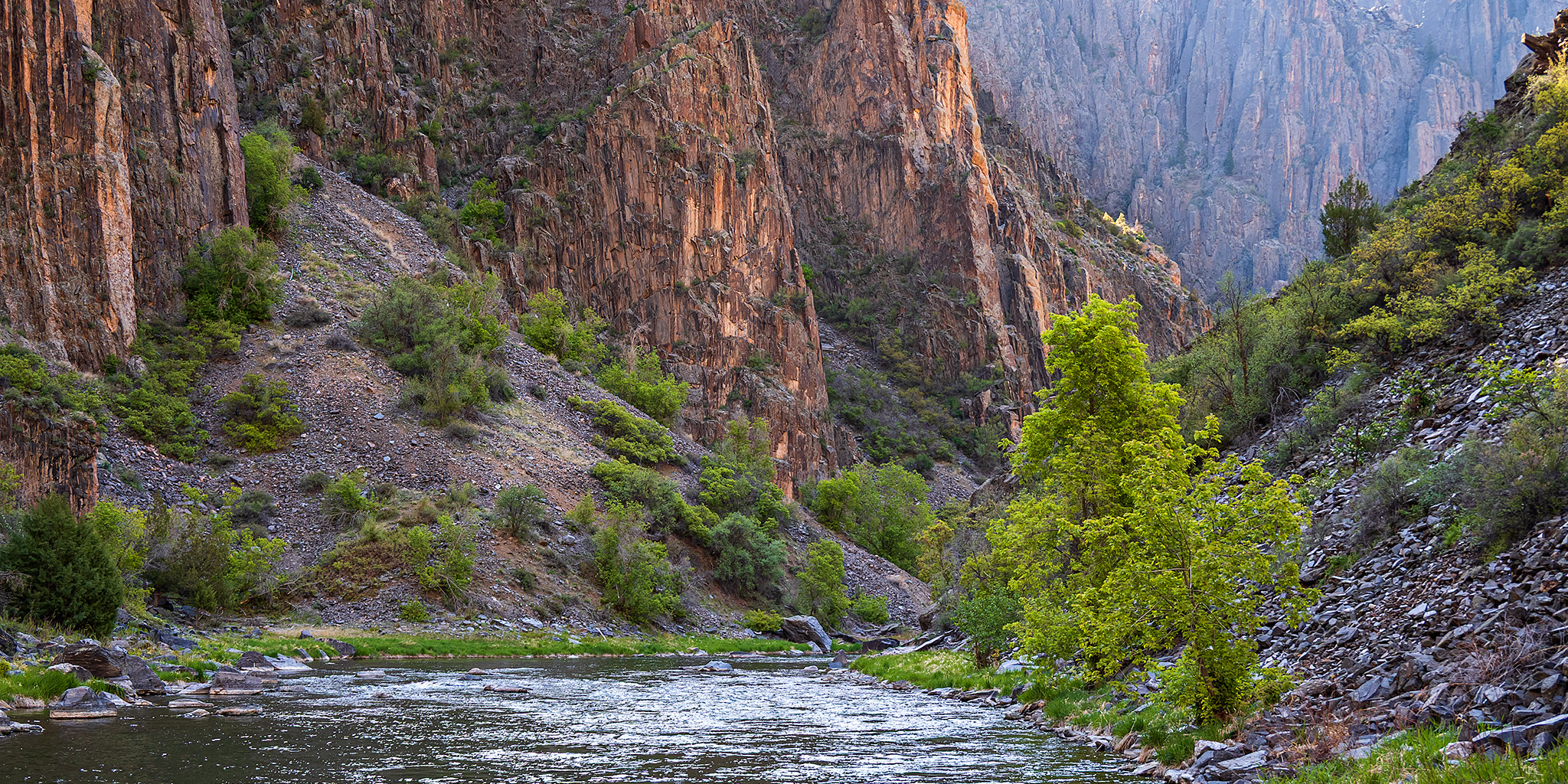
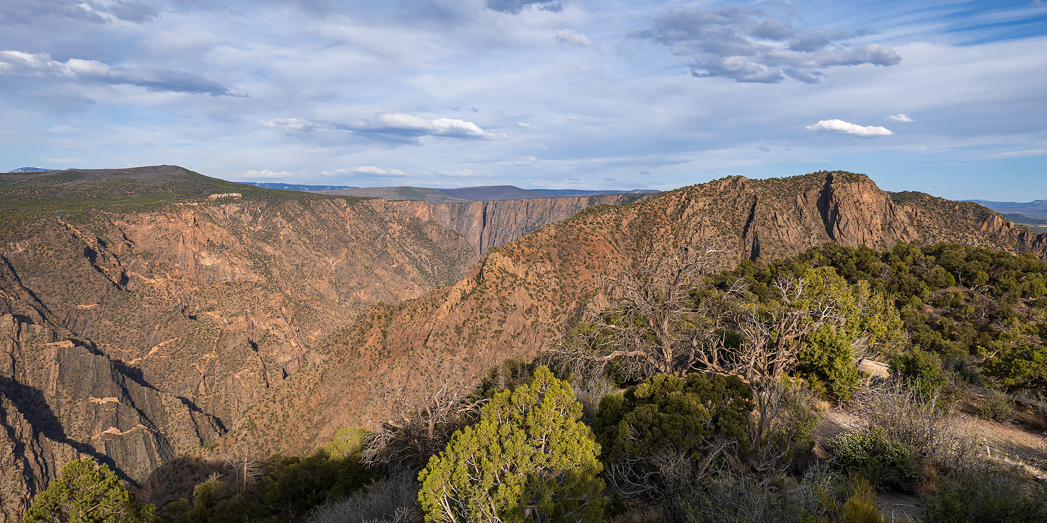
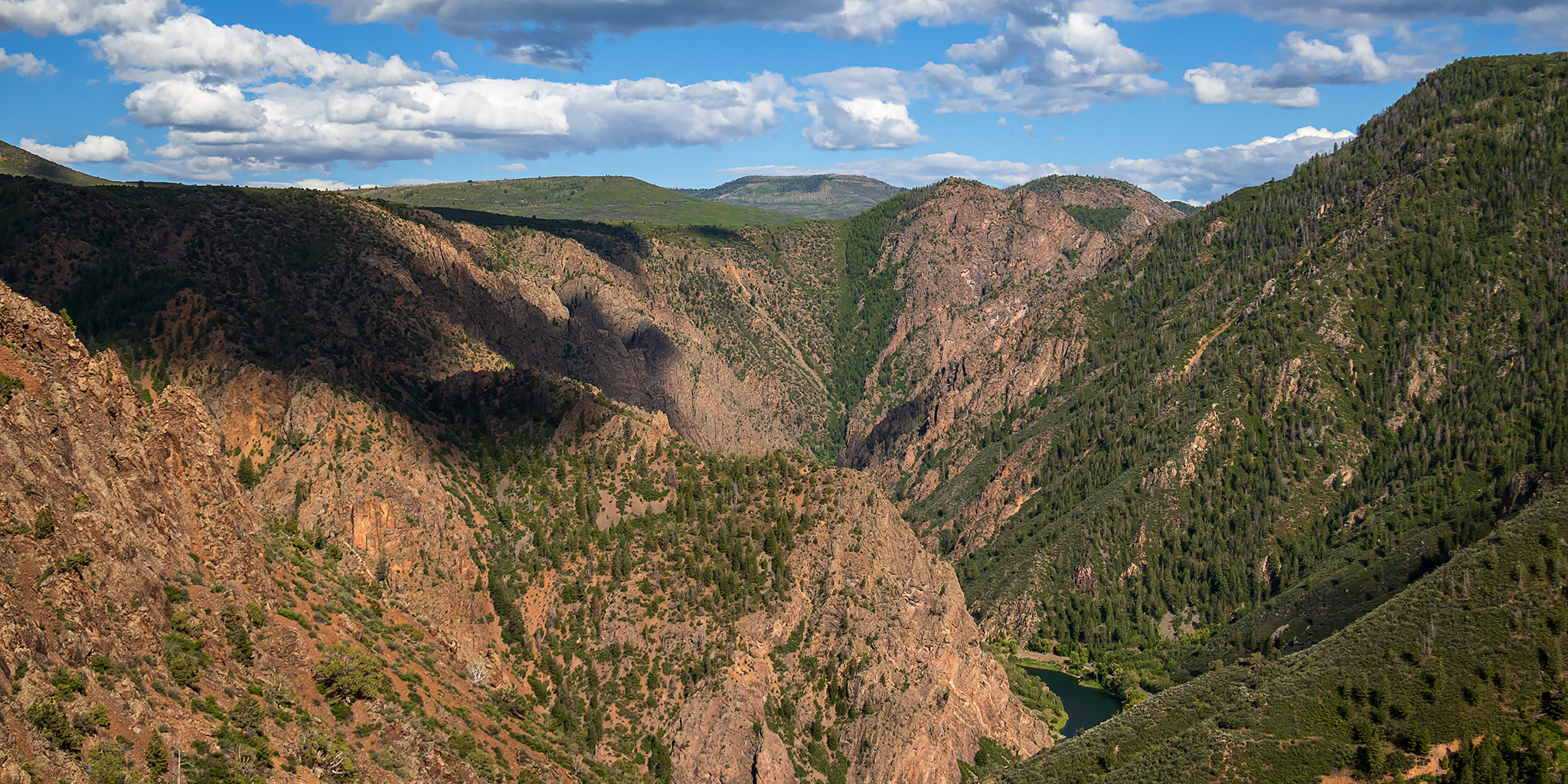
After floating a short segment of the Gunnison River through Delta on Saturday morning, I returned home in the afternoon to drop off my rafting gear, took a quick shower and loaded up my camping gear into the 4Runner since I had made a last minute decision to hike the Ouray Perimeter Trail first thing on Sunday morning. I figured that on my way to Ouray I could spend the rest of this evening at the East Portal deep in the Black Canyon of the Gunnison since I had not been down that way in over a decade and there was a short hiking route just downstream from the campground that I had not hiked before and was interested in checking out.
Leave a Comment