Press "Enter" to skip to content

Tag: petroglyphs

Rock Art Along the Old Trappers’ Trail

Book Cliffs Rock Art VIII | Friday, August 30, 2024

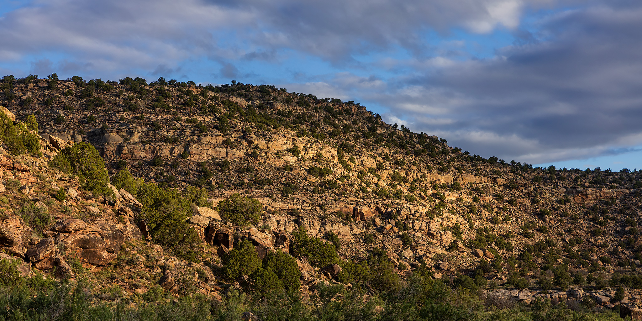
After spending most of Monday hiking with a friend in the San Rafael Swell, we met up again on Friday morning in the Book Cliffs so we could spend a few hours visiting rock art sites along the Old Trappers’ Trail, which was a historic route in eastern Utah that travelled through the Book Cliffs to the Uinta Basin. While much of this rock art is located on private property and some of it is visible from the public road, my friend had secured us permission from the ranch to access their property so we could get a closer look at these images. After viewing and photographing the rock art in this area for most of the monrning, I returned to the Interstate and continued west to Green River where I grabbed lunch at Ray’s and then headed out to spend the rest of the weekend exploring the High Plateaus of Utah. Here are some photos from my morning along the Old Trappers’ Trail.

Leave a Comment

Rock Art of the Book Cliffs VII

Sunday, August 25, 2024

After spending Saturday morning on the Colorado River in Glenwood Canyon, I left home early on Sunday so I could meet up with a friend in Green River later in the afternoon. Since I had plenty of time before we were supposed to meet I thought it would be a good idea to spend the morning searching for new rock art sites in the Book Cliffs as I slowly made my way to Green River. Unfortunately, the weather would not cooperate with those plans today thanks to the stormy weather we’ve been experiencing lately and just as soon as I neared the edge of the Book Cliffs it started to rain pretty hard which made the roads I wanted to drive slick and muddy, so I had to turn around and find some better roads. I did my best to get around in the wet conditions, but I ended up spending most of the day just revisiting sites I haven’t been to in a while. I guess I’ll have to come back to search out the new sites when it’s a bit drier out.

2 Comments

Fruita Frontcountry: Flash Flood in Devils Canyon

After Work Adventures | Friday, August 23, 2024

Since I was actually home on a Friday evening, I made a last-minute decision to go on a local hike in the Devils Canyon section of the McInnis Canyons National Conservation Area near Fruita. Although I had finished hiking all the trails in this section of the frontcountry back in 2016, I had recently looked at an updated map and noticed a new trail called Devils Ridge (D7) that wasn’t there back then, so I thought I’d go check it out as part of a short loop hike. Even though the weather has been quite wet and stormy recently, it looked like the storms in the area were going to miss us this afternoon, so I headed over to the trailhead after work. Of course, just as I reached the trailhead it started to rain pretty hard, so I waited in my Jeep for the storm to pass and then started my hike as soon as the rain mostly stopped.

1 Comment

The High Plateaus of Utah: Northern Trek

The Plateau Provence: Peaks & Plateaus of the Colorado Plateau, Part III
Friday – Sunday, July 19-21, 2024

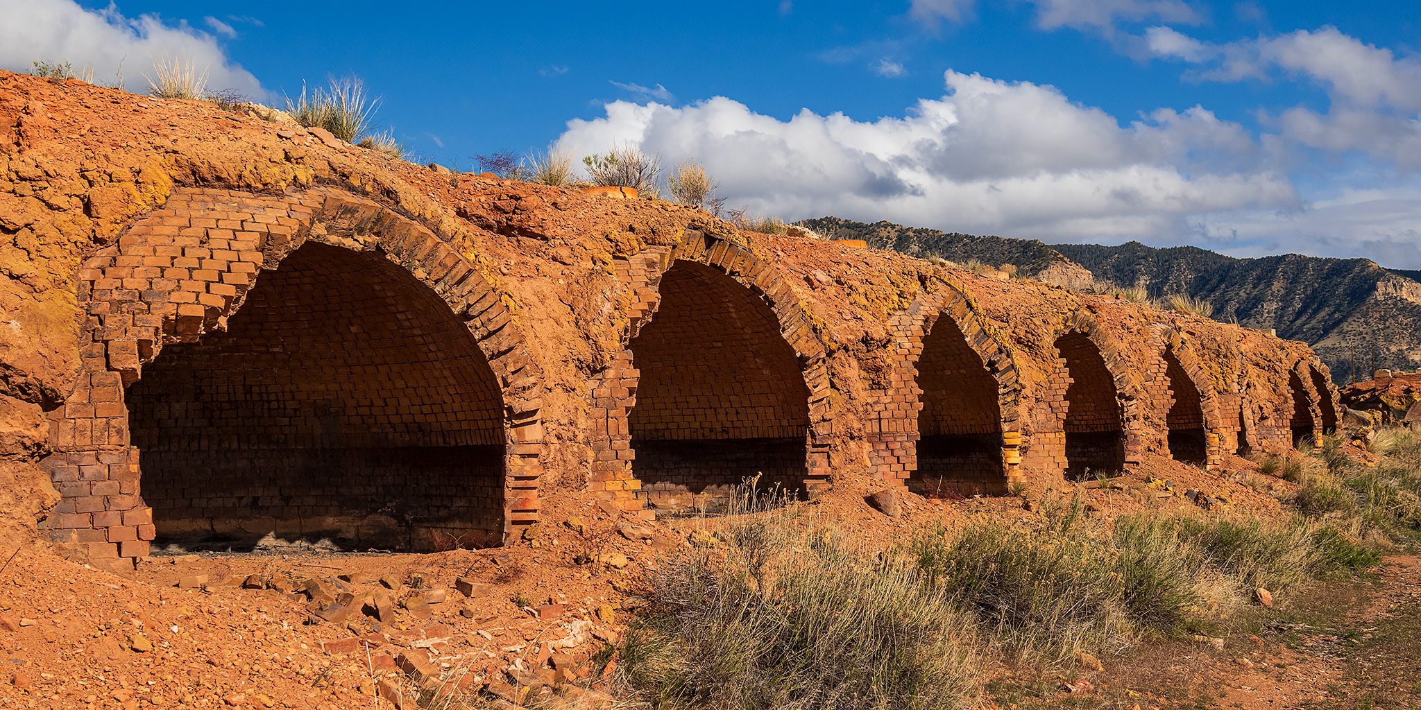
After spending two weekends exploring the High Plateaus of Utah last summer, I have been looking forward to getting back out into that high country again this year and thought this weekend would be a good time to do so. This time I decided to head up into the northern region of the High Plateaus and planned to start at the edge of the Tavaputs Plateau before making my way westward to the Gunnison Plateau (San Pitch Mountains) while driving some of the backroads in the area and visiting a couple new highpoints along the way. My timing for this trip couldn’t have been much better since the weather forecast was predicting very wet and stormy weather throughout the mountains of Colorado the entire weekend, while it seemed that Central Utah was going to be staying mostly dry, aside from the typical afternoon thunderstorms. Just like last year, I had a great time exploring this region and am hoping to get down to the Southern Plateaus later in the summer.

1 Comment

The Colorado River: Parachute to Beavertail Mountain

Saturday & Sunday, June 29 & 30, 2024

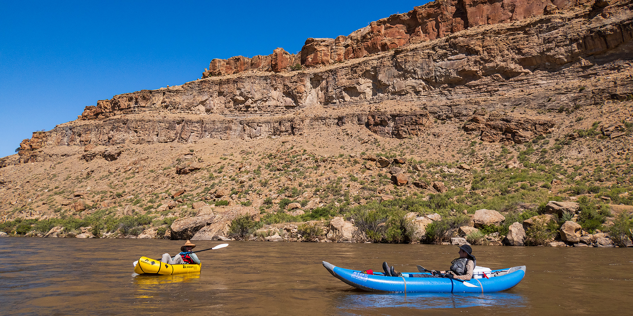
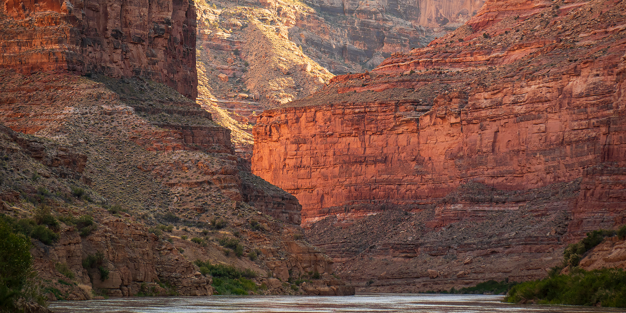
This weekend Jackson and I set out to continue what we had started two weeks ago by floating two more sections of the Colorado River close to home as day trips. Last time we had started near New Castle and left off at Parachute, so this weekend we planned to float two more sections from Parachute down to Beavertail Mountain in De Beque Canyon, which is a section of just over 28 miles. Although there was a lot of storm activity in the area this weekend, we made sure to to get started early and off the river before noon so we had no issues with weather or wind and the mornings were actually perfect for floating the Colorado River!

Leave a Comment