Lost in the West End | Friday – Sunday, May 22-24, 2026
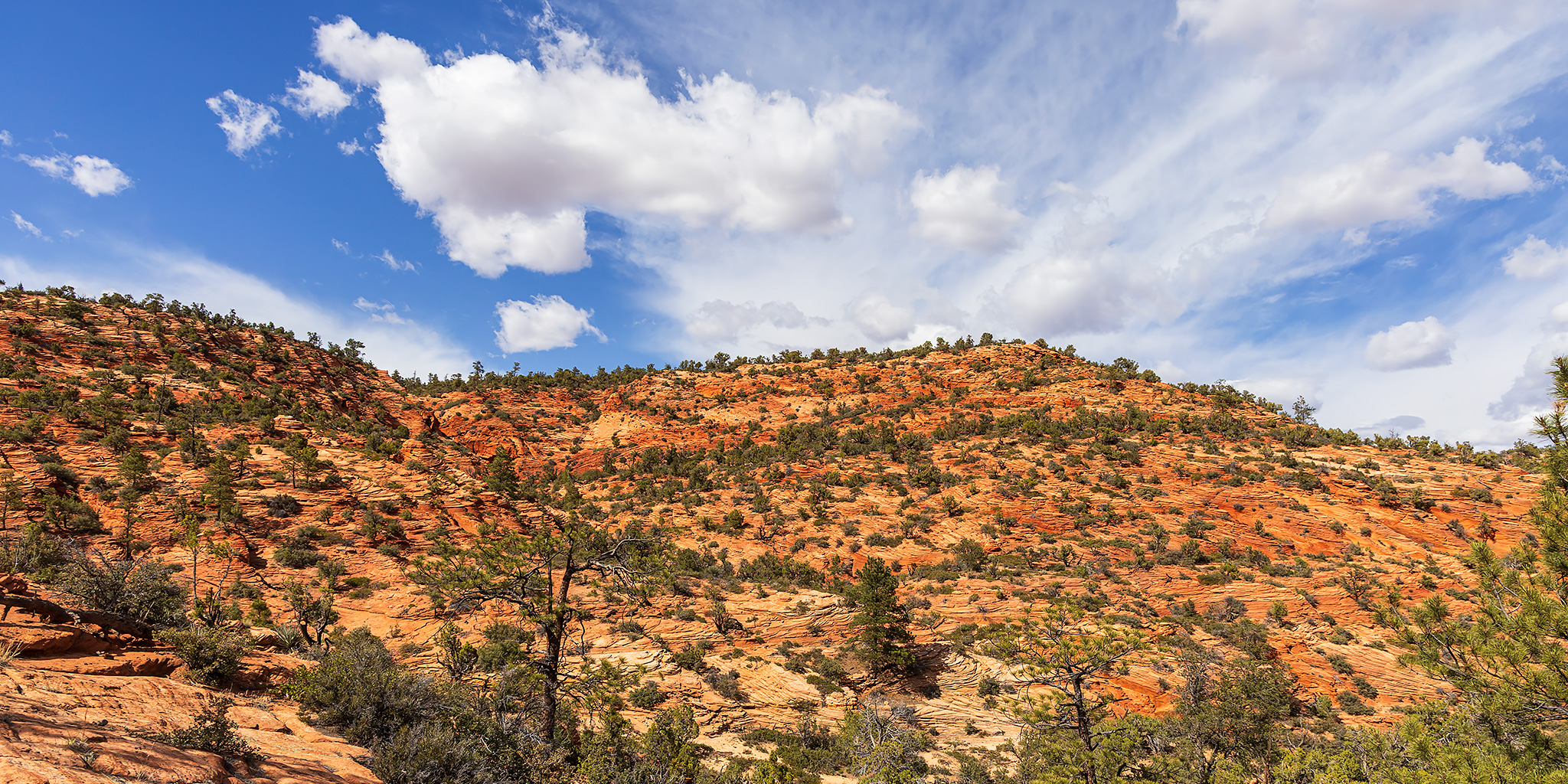
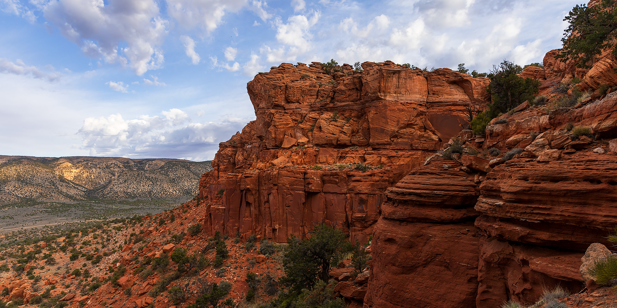
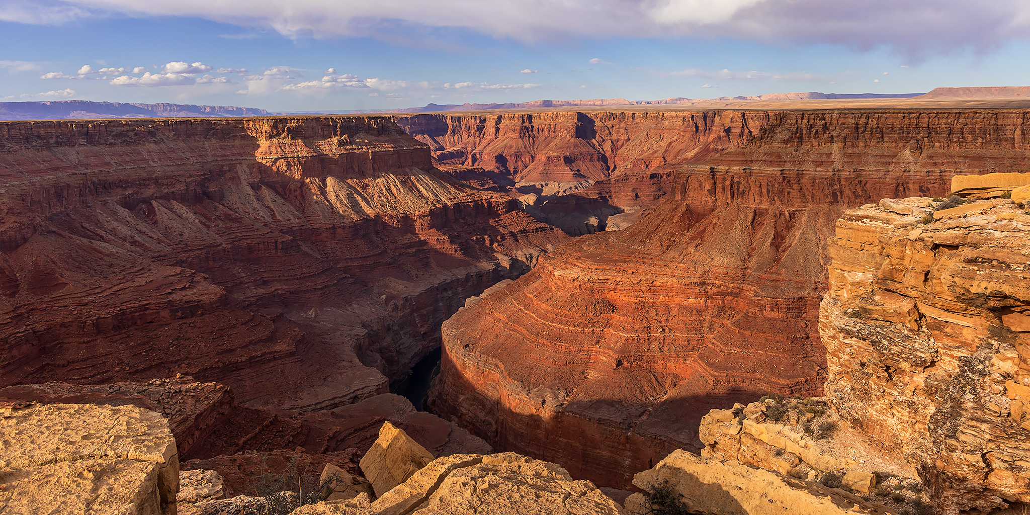
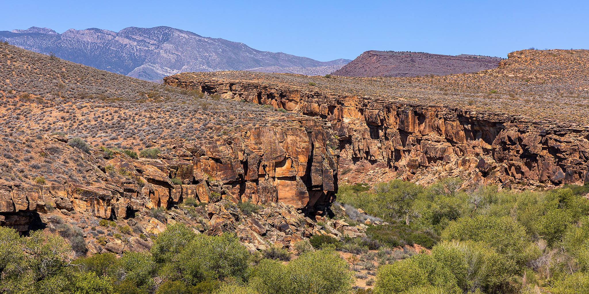
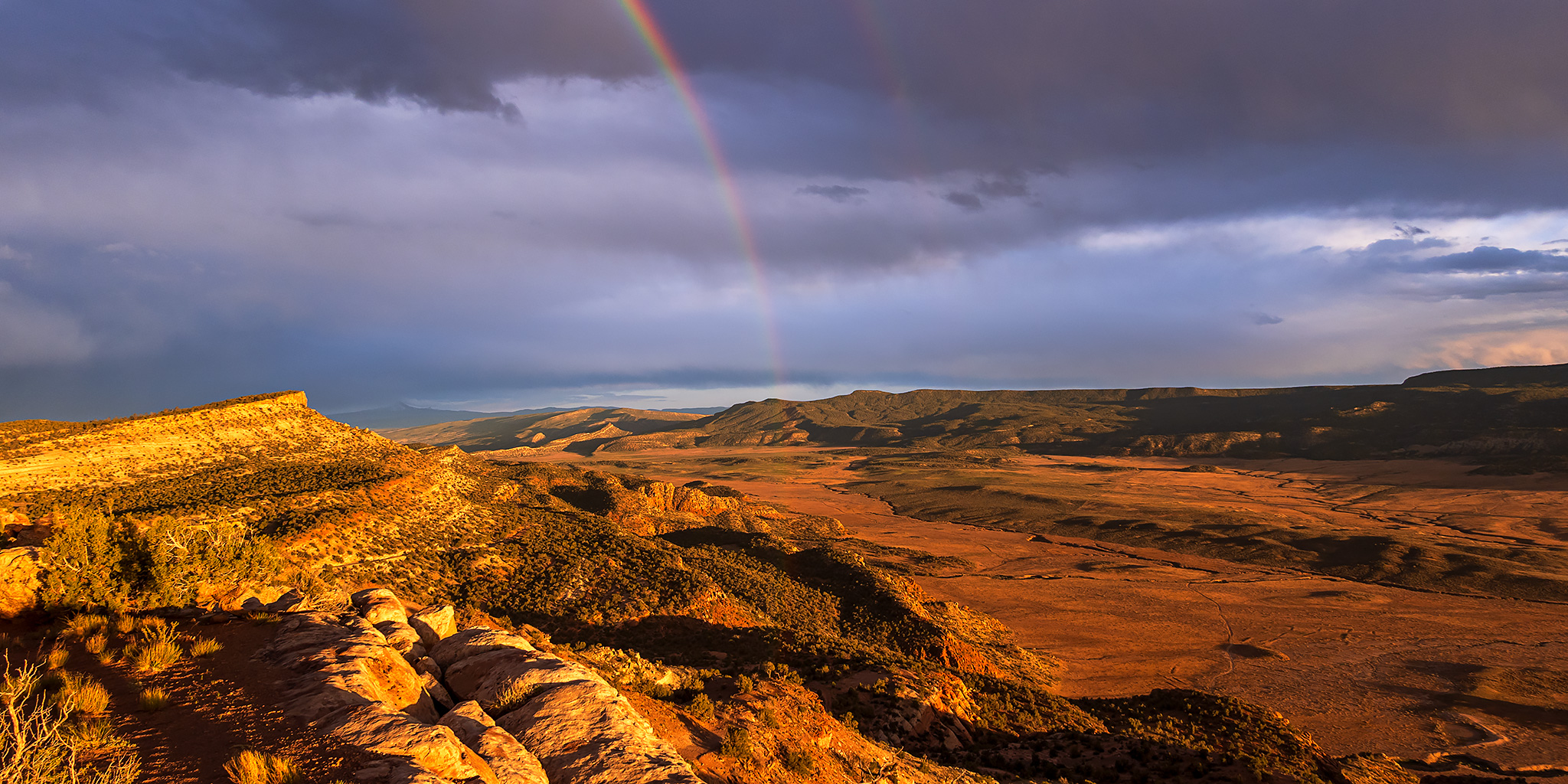
After finally taking the time to drive the entire Rimrocker Trail back in 2024 I’ve wanted to return to the West End so I could explore more of the many old mining roads that are found around the Paradox Valley. I figured that the Memorial Day weekend would be a good time to finally do this trip since I was pretty sure this part of the Colorado Plateau would be considerably less busy than some of the more popular areas in the mountains. With temperatures warming up in the high desert and snow in the mountains melting quickly, I’m pretty sure that this will be my last desert trip until the fall as I start concentrating on the rivers and mountains for the next few months. After leaving work on Friday afternoon I drove through Unaweep Canyon to Gateway, topped off my gas tank and then continued up the Dolores River into the heart of the West End.
Leave a Comment