Gunnison Gorge National Conservation Area | Wednesday, May 20, 2026
After spending Saturday hiking to the bottom of the Black Canyon of the Gunnison, I decided to return again to the Gunnison Gorge this afternoon for only my second After Work Adventure of the year. This time I wanted to continue hiking trails within the National Conservation Area that I had not been on before and went for a 7.5 mile loop that combined the Red Rocks – Nighthorse Trail, Spikes Trail and Sidewinder Trail starting from the end of the Bobcat Road. Here are a few photos from the hike.
Leaving the Bobcat Trailhead on the Rim Trail which follows the Wave – Eagle Jeep Road.

Gunnison Gorge Rim

Rim Trail View

The Gunnison Gorge- I don’t think I was ever able to see the Gunnison River from anywhere along this loop.

Eventually I left the 4X4 road and followed a single-track trail up to PT 7113.

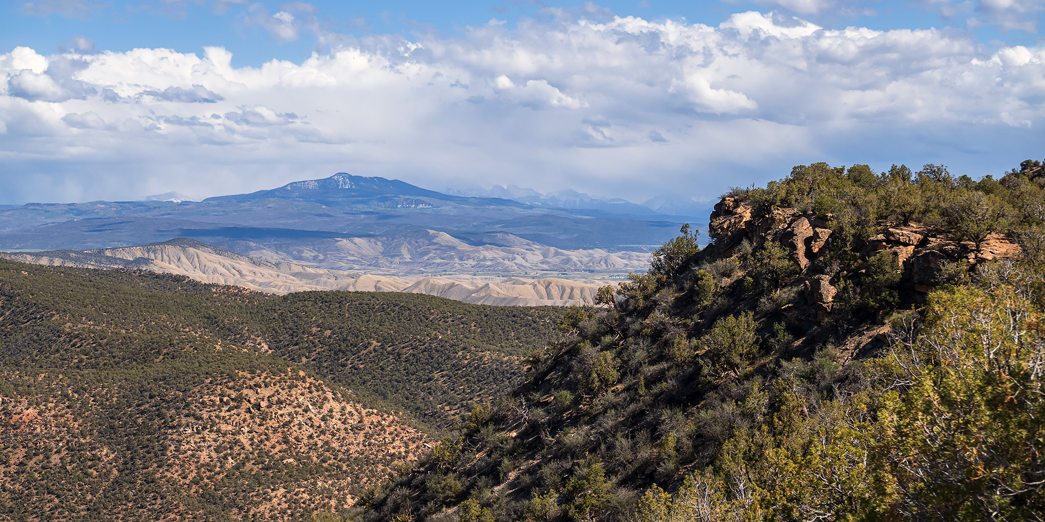
There was a nice view of Storm King from this highpoint. I really need to get over to hike that peak one of these days…

PT 7113

After following the rim a little ways past the highpoint I turned west and followed the Spike Trail downhill.

Then I followed the Sidewinder Trail back to the Bobcat Road and the trailhead.

>> Red Rocks – Nighthorse Trail to Spikes & Sidewinder Photo Gallery