High Uintas Wilderness | Saturday – Monday, August 1-3, 2026
After spending Friday evening at a concert in Salt Lake City, I was up early on Saturday morning to meet up with Jared so we could head over to the Uinta Mountains and go on a two night backpacking trip into the High Uintas Wilderness. We had tried backpacking along the western end of the Highline Trail last summer from Hayden Pass, but that trip didn’t work out as planned because there was a brand new wildfire that altered our initial plans and then we encountered plenty of deadfall across the trail from an older fire that made the hiking difficult. We were hoping not to repeat that kind of trip again this year. After looking over maps I thought Garfield Basin looked like it would be a relatively easy hike to a large basin that is mostly above treeline and wouldn’t be too busy or impacted by previous wildfires, so that’s where we decided to go. As an added bonus, we would be able to briefly connect up with the Highline Trail near the top of the basin and visit a pass or two while we were up there.
After meeting up in Bluffdale, Jared and I drove up Provo Canyon and followed Highway US 40 to Duchesne and then we turned north toward the foot of the Uinta Mountains and drove up a Forest Service road through Hells Canyon to the trailhead in Center Park.
After leaving the Center Park Trailhead it was almost two and a half miles of hiking through the trees until we reached the High Uintas Wilderness boundary.

The Center Park Trail passed by this rocky tarn as it started climbing up and over the shoulder of an 11,000 foot ridge.

Following Jared as we hiked up to the top of the ridge.

From the top of the ridge there was a hazy view to Garfield Basin, Yellow Mountain and the upper Yellowstone Creek drainage.

On our way down into Swasey Hole we briefly passed through the only burn scar along the trail.

Yellowstone Creek

We followed the the trail down on the other side of the rocky ridge.

Although there was no deadfall along this trail, the entire trail was very rocky and tedious to hike with a lot of ups and downs along the way. It really slowed us down and wore us out. It was not a lot of fun…

There were a few open meadows along the way but most of the trail was in the trees with limited views.

Our hope was to make it to Five Point Lake and set up camp for the next two nights, but the rocky trail and warmer than usual temperatures slowed us down and tired us out so much that we ended up stopping at Spider Lake instead.

We found a nice campsite, ate dinner and then enjoyed the views from the edge of the lake.

This deer joined us in camp for a little while and tried to steal Jared’s dinner.

Although I didn’t sleep well overnight, I still got up at the break of dawn on Sunday to take a few photos this calm morning.

A few clouds even started to show up shortly before sunrise.

First light on the ridge.

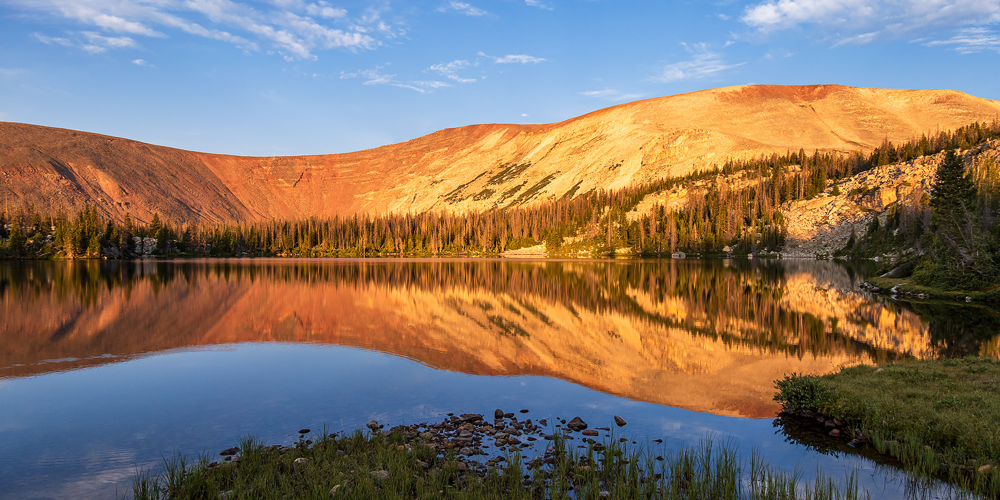
The calm conditions made for a nice reflection on Spider Lake at sunrise.


I liked the look of that cliff at the end of the ridge.

Spider Lake at Sunrise

After enjoying the sunrise we returned to camp and packed our day-packs so we could hike up through Garfield Basin to Tungsten Pass.

The light was looking nice as we followed the Center Park Trail higher into Garfield Basin.


Shortly before reaching Five Point Lake we passed the junction with the trail that comes up from Yellowstone Creek.


The water at Five Point Lake was calm when we arrived which made for nice reflections.

One of the five points…

Five Point Lake


Five Point Lake Reflection

After enjoying the view for a little while we left the lake and continued up the trail.

Following Jared across Garfield Basin.

It wasn’t long until the trail passed by Superior Lake.

Garfield Basin Trail

Unfortunately, shortly after leaving Superior Lake the sky would fill up with smoke again which would stick around for the rest of the day. I think the smoke was coming from the Ward Fire near Ely, Nevada- but it could have been coming from the larger fires up in the Northwest, too.
There was a nice view of Porcupine Mountain as we crossed Garfield Basin.

Garfield Creek & Porcupine Mountain

Looking back across Garfield Basin after crossing Garfield Creek and climbing up the other side.

I liked this part of the basin because it was out of the trees and the views were expansive!

We reached the Highline Trail near the outlet of Tungsten Lake and then headed up to the pass.

Tungsten Pass & Wilson Peak

Yellow Mountain was just to the south of the pass.

It was smoky, hazy and the light was terrible, but there was a good view over to Kings Peak and South Kings Peak to the east.
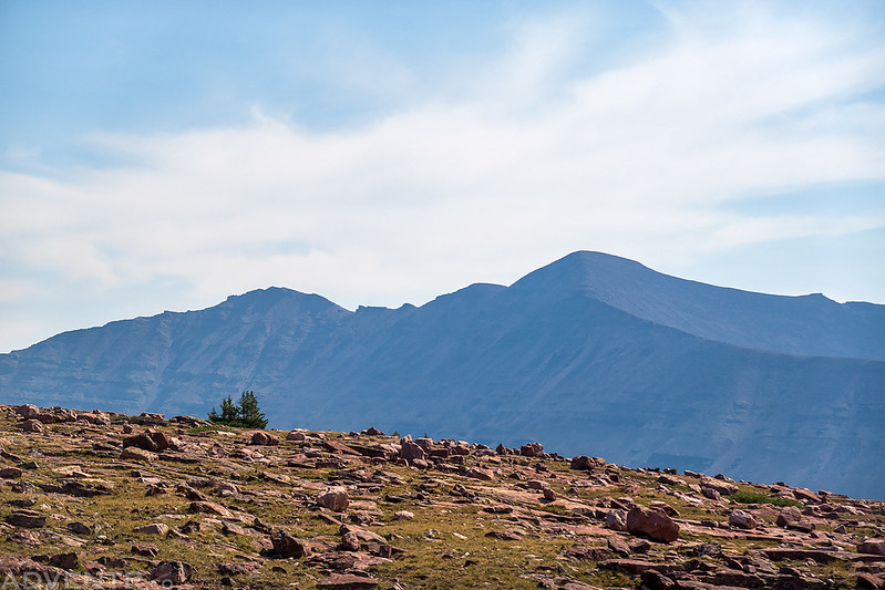
The view over Tungsten Lake to Porcupine Pass from Tungsten Pass.

The air got even smokier as we hiked back across Garfield Basin on our way back to camp.

I didn’t bother to take any more photos this afternoon with all the smoke in the air.

After making it back to camp we rested for the remainder of the day and went to bed early so we would be ready for the hike out in the morning. The trail had been very rocky again today with plenty of ups and downs and we were exhausted again. We spent a lot of time trying to find shade around camp to rest in since it was still very warm out in the sun, even at this high elevation. Thankfully, the mosquitoes didn’t seem to be too bad. On Monday morning we were up at dawn again, packed up camp and then started hiking shortly after sunrise so we could try to beat the heat on our way out.
It was still very smoky out this morning as we left Spider Lake.

Here’s one more reflection on Spider Lake as we started following the trail back down.

Looking up at the large red finger of a ridge that the trail winds its way around.

As we climbed back over the high ridge there was a smoky view up Yellowstone Creek.

We stopped for a rest above Swasey Hole.

Finally, we were approaching the top of the ridge…

Here’s one final smoky view from the highpoint of the trail before we started the descent to the trailhead on the other side.

I’m not going to lie, with all the ups and downs and the very rocky surface, this is not a trail I care to repeat, so I guess Jared and I are now zero for two in the Uintas! Maybe we will have better luck next year…