Moab Meanderings | Saturday & Sunday, February 3-4, 2024
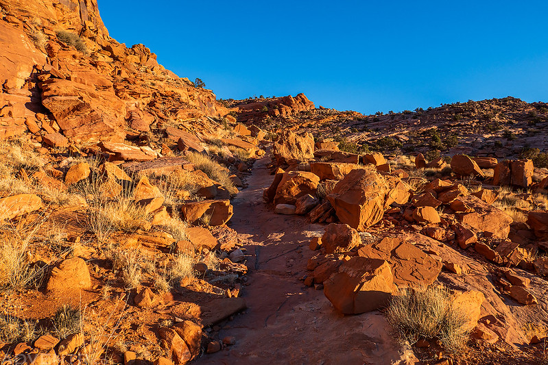
This is the first weekend I would be taking my Jeep out again after having the engine repaired last month, and I didn’t want to stray too far from home or get too deep into the backcountry just yet, so I figured this would be a good opportunity for me to hike some trails along the Colorado River near Moab. Since I’ve already hiked most of the trails on and around Amasa Back, I thought it would be fun to start the weekend by hiking the Captain Ahab and HyMasa Trails, both of which did not even exist the last time I hiked the Amasa Back Trail (Cliffhanger) from Kane Springs Canyon. I left home early on Saturday morning and drove through some patchy fog along I-70 in Utah and then made my way over to the trailhead along Kane Creek before sunrise.
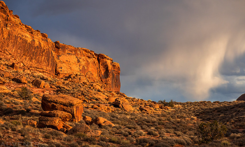
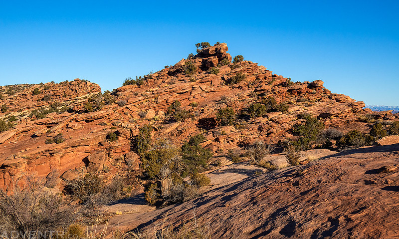
I started hiking up the HyMasa Trail at sunrise, but there was too much cloud-cover for any light to get through and it was feeling a bit gloomy out.

Soon I started to see some blue sky and hoped the sun would make an appearance.

Morning view from the HyMasa Trail.

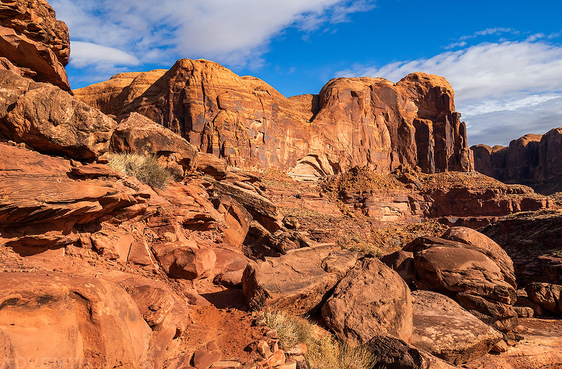
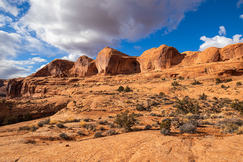
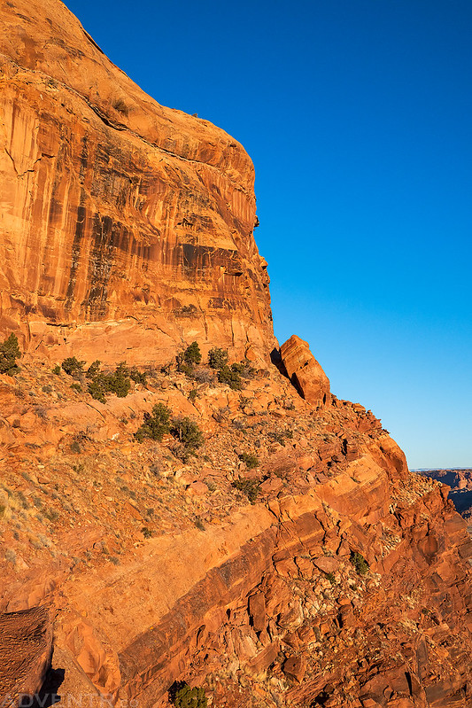
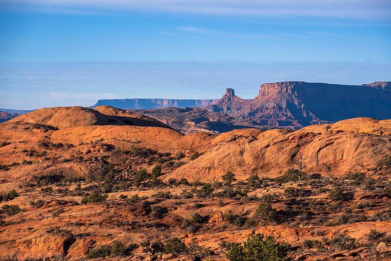
When I reached the Upper Captain Ahab Trail I had a great view of Jackson Butte as I followed the rim above Jackson Hole.
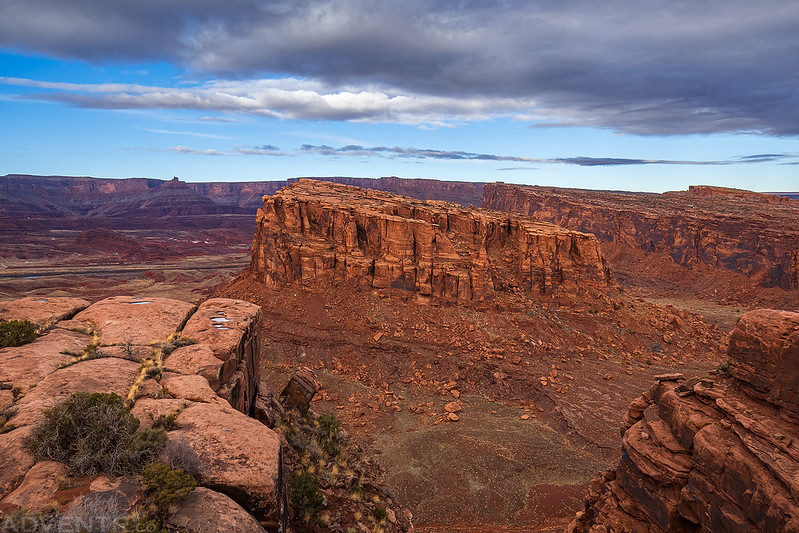

Jackson Hole
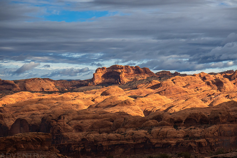
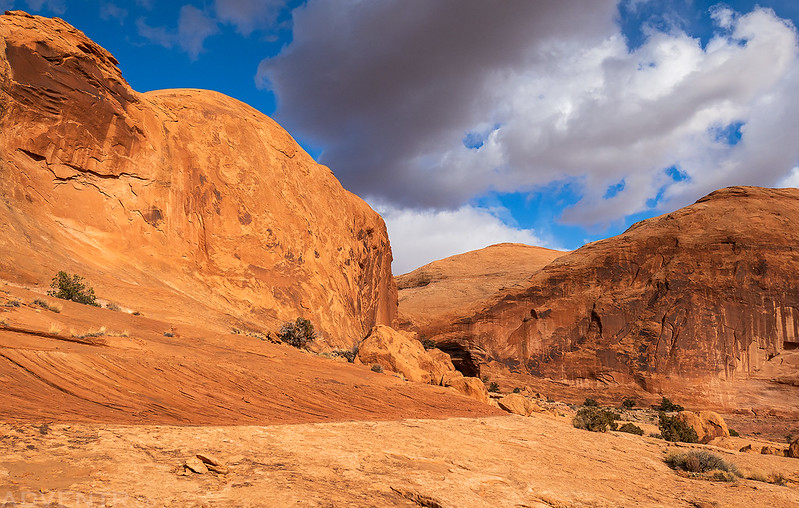
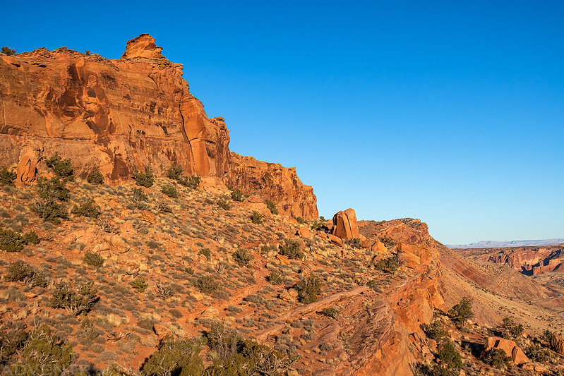
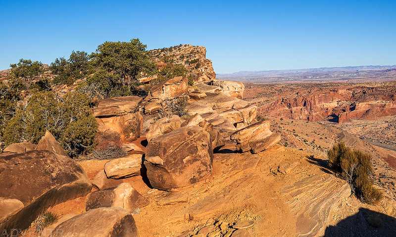
As the trail began its descent from the rim, sunlight finally started to find it’s way through the clouds and lit up the fins in the Behind the Rocks area.

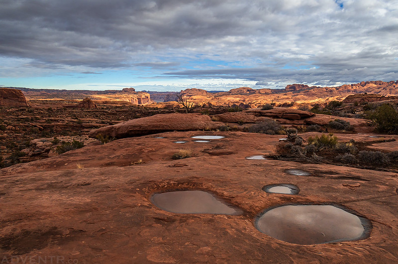
There were plenty of full potholes along the trail from recent rain.
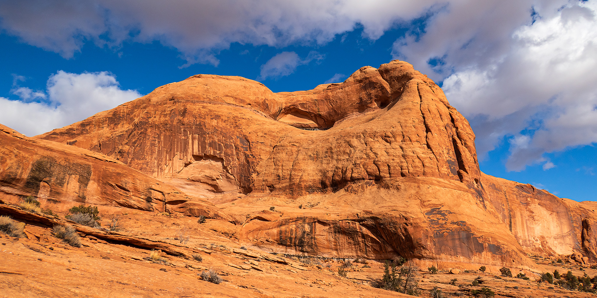
Old Folks Home
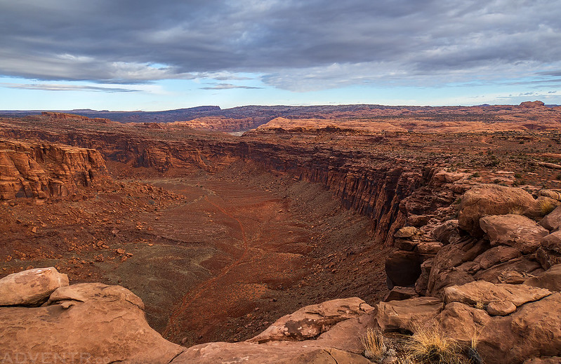
Looking down into Kane Springs Canyon.

The sun finally started to come out more as I continued on to the Lower Captain Ahab Loop.

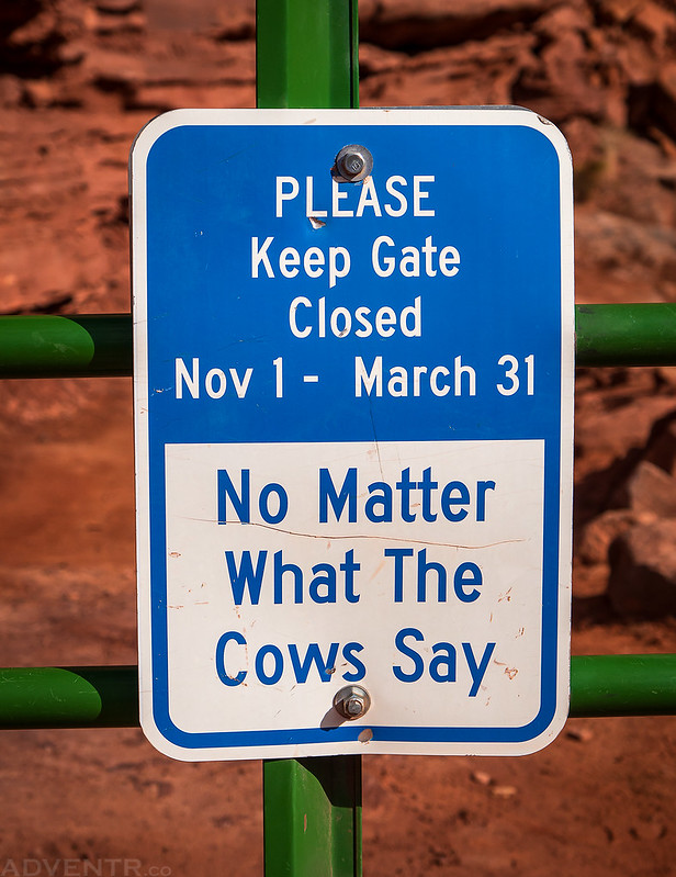
Don’t listen to the cows…
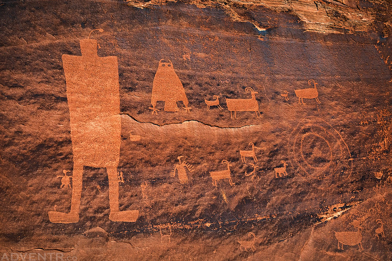
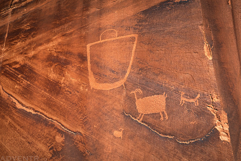
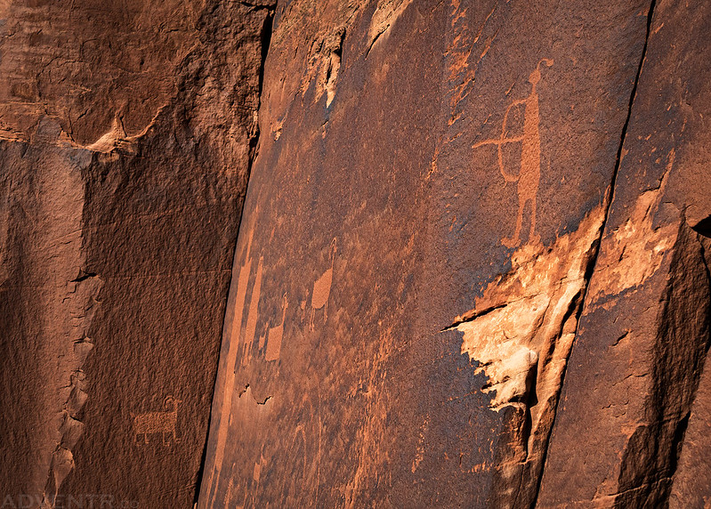
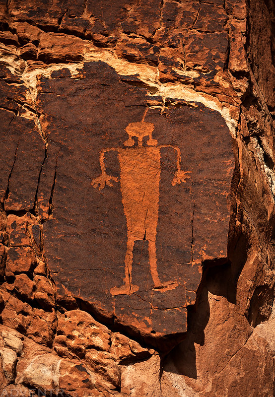
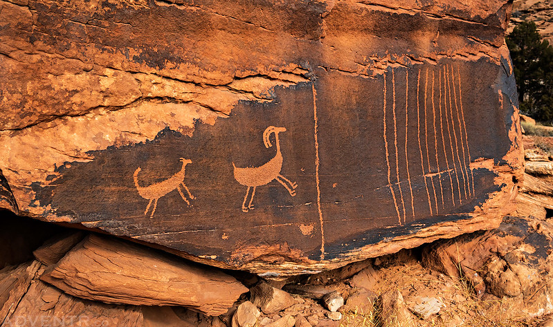
After completing both Captain Ahab loops, I stopped to revisited a couple of petroglyph panels that I haven’t seen in many years.
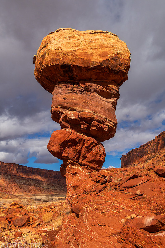
After returning to my Jeep I went for a scenic drive through lower Kane Springs Canyon and stopped to photograph the Happy Turk Hoodoo since the light and clouds were looking very nice by now.

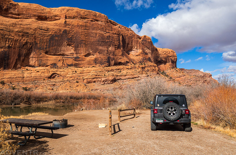
Since I was only planning to stick around this area for the weekend and I didn’t want to have to drive too far out of town to find a dispersed campsite this evening, I stopped to grab a site at the Kings Bottom Campground along the Colorado River and then headed into town to grab a burger from Milt’s for lunch.
Kings Bottom Camp
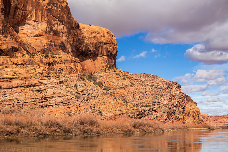
Wall Street Reflection

Here’s a view looking across the river to the Portal Trail from my campsite, which was the hike I had planned for Sunday morning.
After a late lunch I decided to hike up to Corona Arch since it’s been about a decade since the last time I visited it. Once every ten or so years sounds about right…
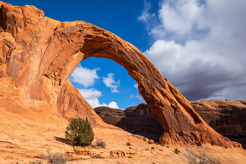
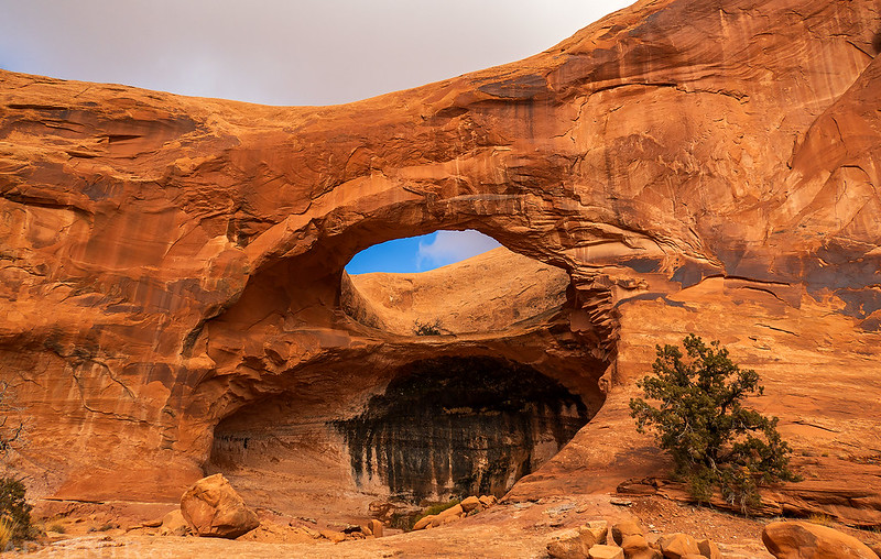
I passed beneath Bowtie Arch on the way to and from Corona Arch.

Before returning to the trailhead I followed the spur trail over to Pinto Arch, since I don’t recall ever hiking up to this one before.
The light on the sandstone and puffy clouds were looking very lovely this afternoon.

Pinto Arch
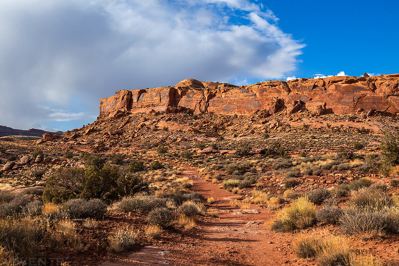
Surprisingly, I still had time for one more short hike before sunset, so I checked out the Poison Spider Bench Trail which follows an old closed road.
Applecore Arch

A view from the end of the Bench Trail.

Evening light on the Poison Spider Bench.

After this final hike I returned to my campsite at Kings Bottom and went to bed early after reading for a while. It had been a long day of many hikes, and I was feeling pretty tired.
On Sunday morning I was up early and headed around to the trailhead for the Portal Trail on the other side of the river. Although I had hiked part of the Portal Trail to the main overlook last winter, there was too much snow for me to continue on past that point, so this time I wanted to get all the way up to the top of the Gold Bar Rim since there was no snow anywhere this year.
I started hiking before sunrise and watched the light illuminate the sandstone above me as I climbed up the trail. Unfortunately, all the nice clouds from the previous day had disappeared overnight and left a clear sky behind.

The Portal Trail
Once I passed the overlook, I rounded the corner where the trail got much narrower and with a lot more exposure.
Dismount Now!

Following the trail to the Gold Bar Rim.
Once on top I had a good view over to Chimney Rock and Dead Horse Point. The last time I was up this high on this mesa was when I drove the Golden Spike Trail in 2008, and I really don’t remember much about that day, so it was a nice return visit.
Once on top I felt like hiking a few more miles, so I continued along the rim on the Gold Bar Rim Trail.
There were a lot of ups and downs along the way as the trail tried to follow closely to the rim.
Gold Bar Rim

Once I had enough hiking along the rim, I turned around and headed back down the Portal Trail. It was a very nice weekend in Moab and I was soon on my way back home before noon.

>> Kane Springs Canyon & Colorado River Corridor Photo Gallery
Beautiful pictures as always! Makes me want to go back to Moab.
Thank you David!