Sunday, March 12, 2023
I was originally planning to go hiking on Saturday this weekend, but the rain in the forecast made me change those plans late in the week. So instead, I opted to stayed home on Saturday to work on my Jeep a little and start getting prepared for an upcoming backpacking trip. The weather forecast was looking better on Sunday, so after moving the clocks up an hour for Daylight Savings Time I got up early and drove down to Moab for a day hike on Amasa Back. I had hiked onto Amasa Back with Diane over the 2021 Christmas weekend, but we didn’t make it as far as I would have liked that day, so I was hoping to reach a couple new arches this time. As I drove through The Portal and along the Colorado River shortly before sunrise, I could tell that spring break had definitely arrived since all of the campsites were occupied, which was not the case just a few short weeks ago. When I reached the trailhead at the mouth of Kane Springs Canyon I started hiking up the Jackson Trail as the sun came up over the cliffs. It was turning out to be a very beautiful morning!
Looking back through The Portal as the sun lights up the top of Poison Spider Mesa.

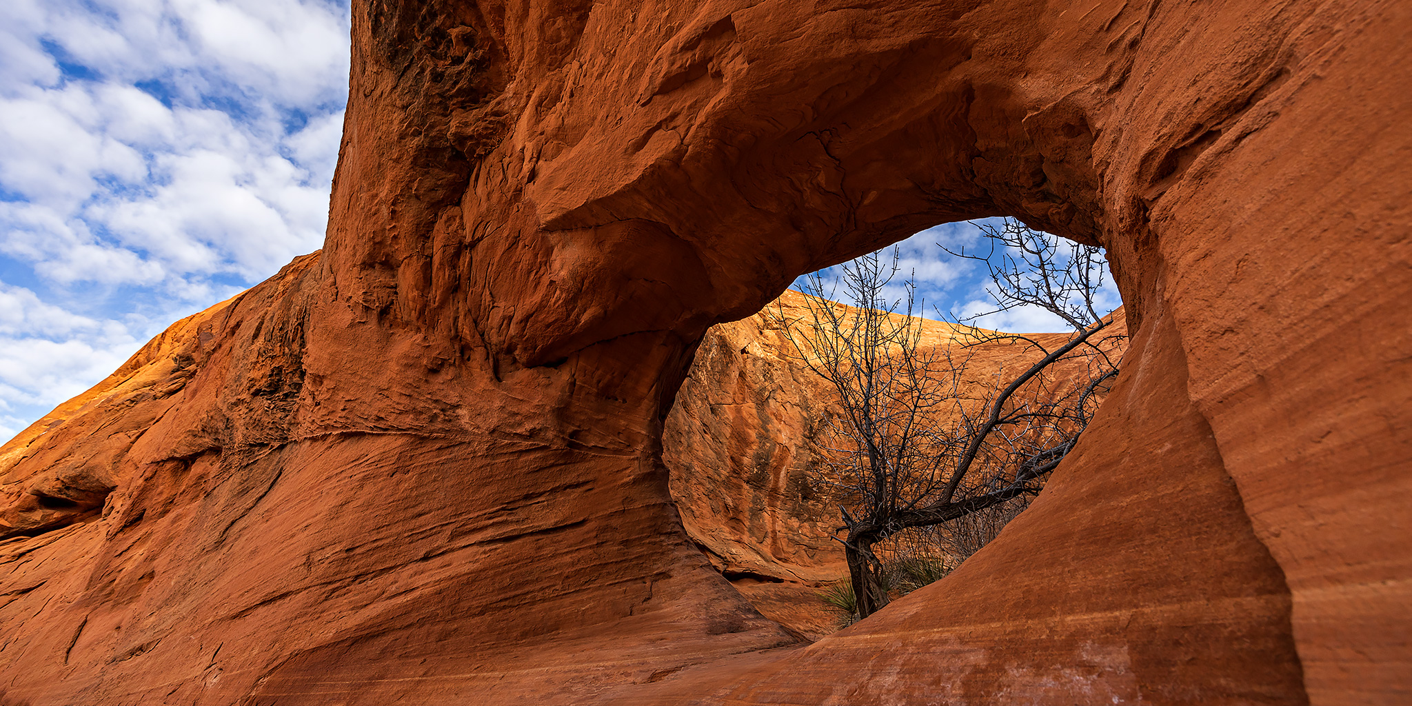
A short distance up the trail I hiked below Hidden Arch, which you can barely just see through from this angle.
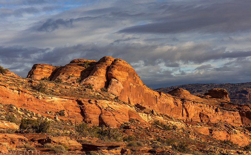
Jackson Trail

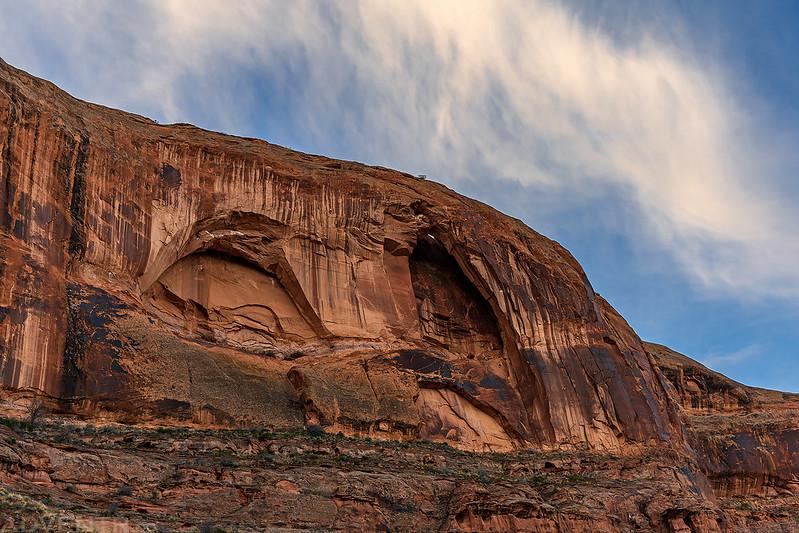
Next I passed below Dog Rest Arch.
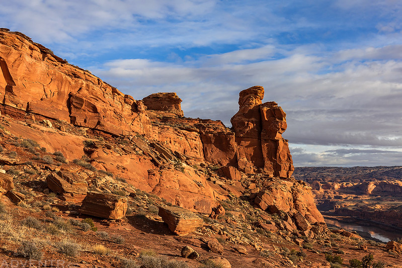
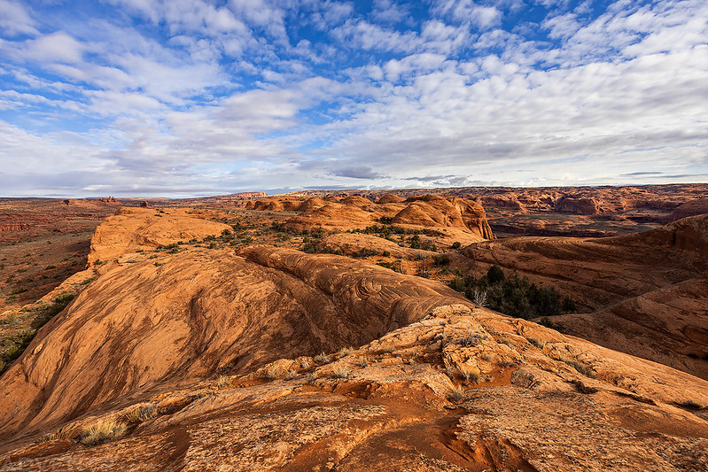
At the first trail junction I continued on to the Rockstacker Trail, which stayed on the benches above the Colorado River and offered outstanding views.
The light on the sandstone was lovely this morning and soon I was able to spot many other arches I have been to before, including Corona Arch, Pinto Arch, Bowtie Arch and even Jeep Arch.

Hiking along the benches of Amasa Back.

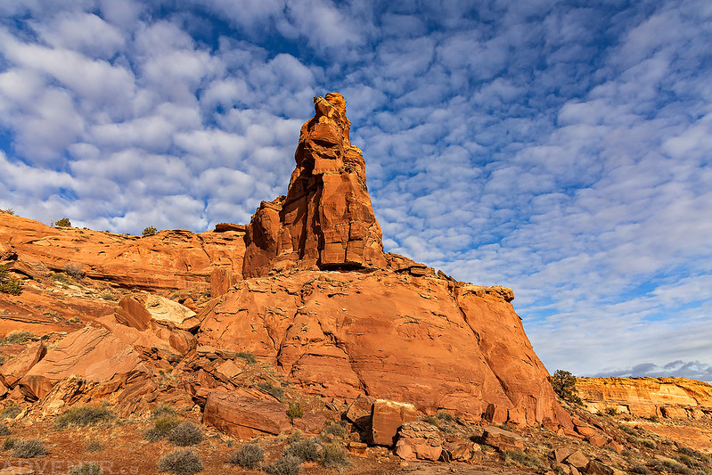
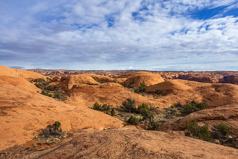
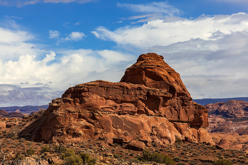
Amasa Back Fins
The Rockstacker Trail circled below this tower and then climbed up onto the top of the mesa.
I just love these clouds!
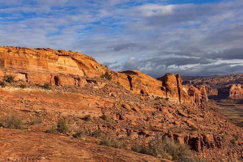
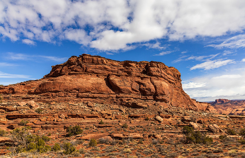
Amasa Back Ridge
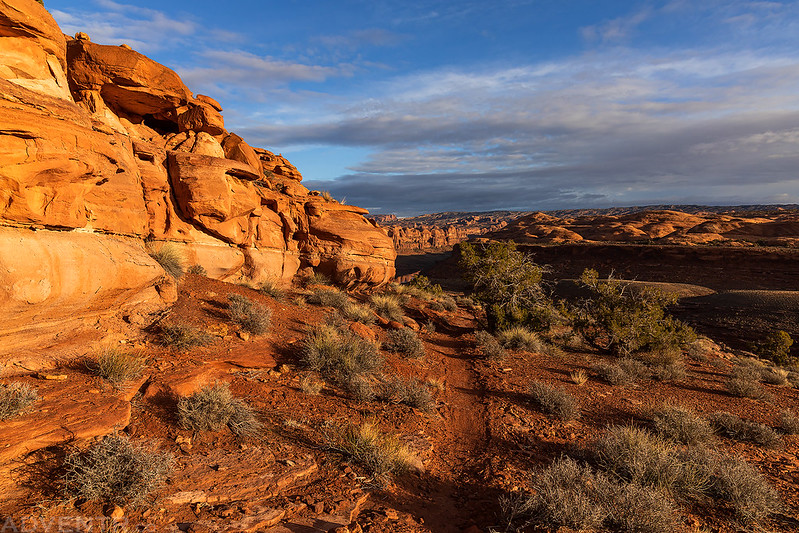
Once on top of the mesa I followed the Pothole Arch Trail where the hiking was a little easier as it crossed sandstone flats with plenty of potholes filled from the recent rains.

When the mesa narrowed, I walked to an overlook of the other side where I had a good view of Long Canyon and Jug Handle Arch below. If you look closely, it looks like there might be a road closed sign in the middle of the Long Canyon Road.

Looking the other direction over Lake Bottom.

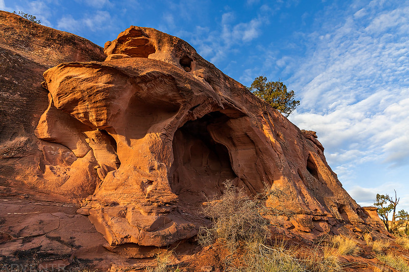
Soon I reached Christmas Arch, which is more commonly known as Pothole Arch.

It’s a nice little arch.

After visiting Pothole Arch I continued hiking past the end of the trail in search of two more arches.

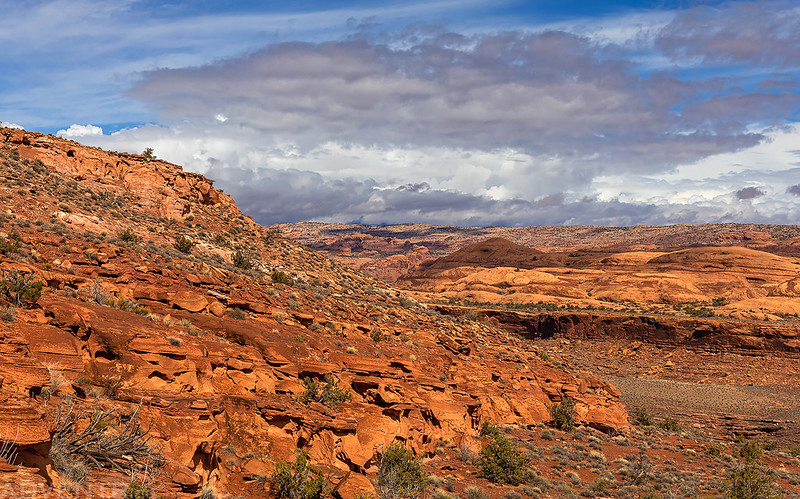
The views and clouds along the way were outstanding!


Although I knew roughly where the arches were located, I wasn’t exactly sure how to reach them, so it’s no surprise that I was stopped by steep cliffs and then had to backtrack and find a different route.

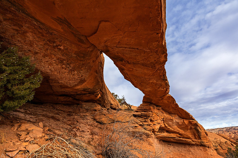
After hiking up a shallow canyon and cresting a pass I spotted one of the arches I was looking for. Can you see it in this photo?
Walking Man Arch

Right across the canyon was Ramblin’ Rose Arch.
After having a snack under Walking Man Arch it was time to start heading back. Shortly after starting my hike back the weather changed abruptly. The temperature dropped, the wind picked up and then it started raining. I put my camera away in my backpack and got on my rain gear and continued hiking. I got completely soaked and thankfully it wasn’t too cold out…
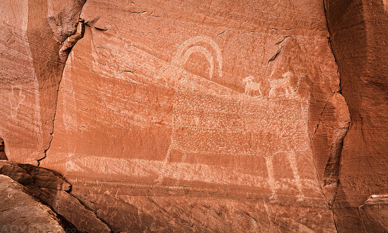
I stopped to revisit some petroglyphs along the way so I could get out of the rain for a little bit.
After raining for longer than I was expecting it to it finally seemed to be stopping, so I decided to hike up to the summit of PT 5100.

The storm continued to clear out as I hiked higher.

As I neared the edge of the mesa I could see Chimney Rock off in the distance.

Almost to the top of PT 5100.

Here’s a view from the summit of PT 5100 with Potash down below.

There was a good view to the cliffs across the river.

The clouds continued to clear as I made my way back down to the Jackson Trail.
There’s always a good view of Behind The Rocks from this area.

Old Folks Home

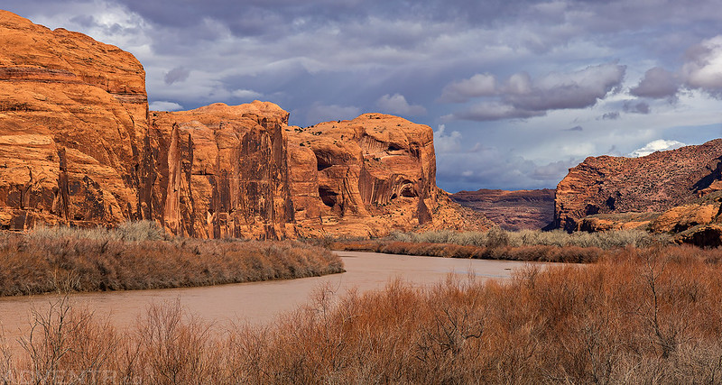
Wall Street & The Portal
Here’s one final view of lower Kane Springs Canyon as I returned to my Jeep at the trailhead. It would continue to rain on and off as I drove back home and made it in time for dinner.

So cool. I’ve been to pothole arch a few times and often wondered if there was something beyond. Time to go for another hike
I love these stunning photos. They’re all great, but I especially love the morning one with the river and the cotton ball cloud ones. All gorgeous!
Excellent photos! Thanks for sharing