Press "Enter" to skip to content

Tag: rain

The Flat Tops: Trappers Lake to Big Marvine Peak

Flat Tops Wilderness | Friday – Saturday, June 19-20, 2026

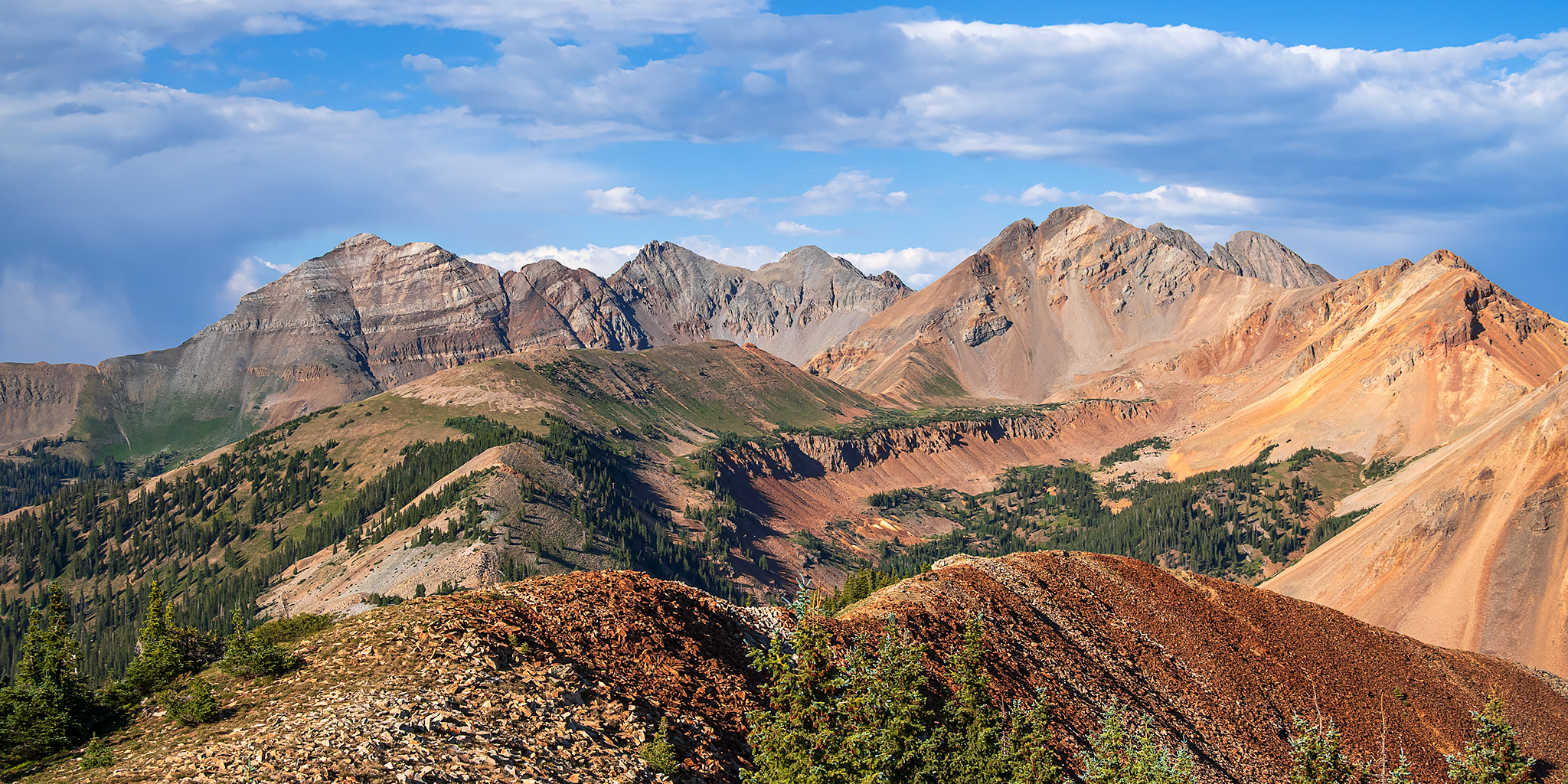
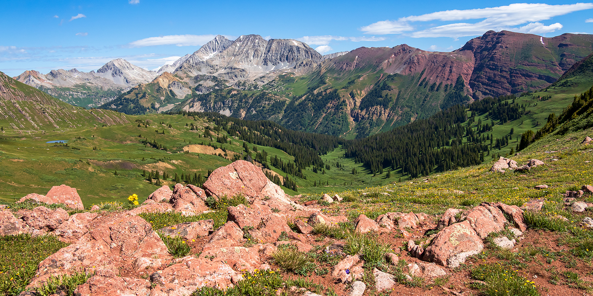
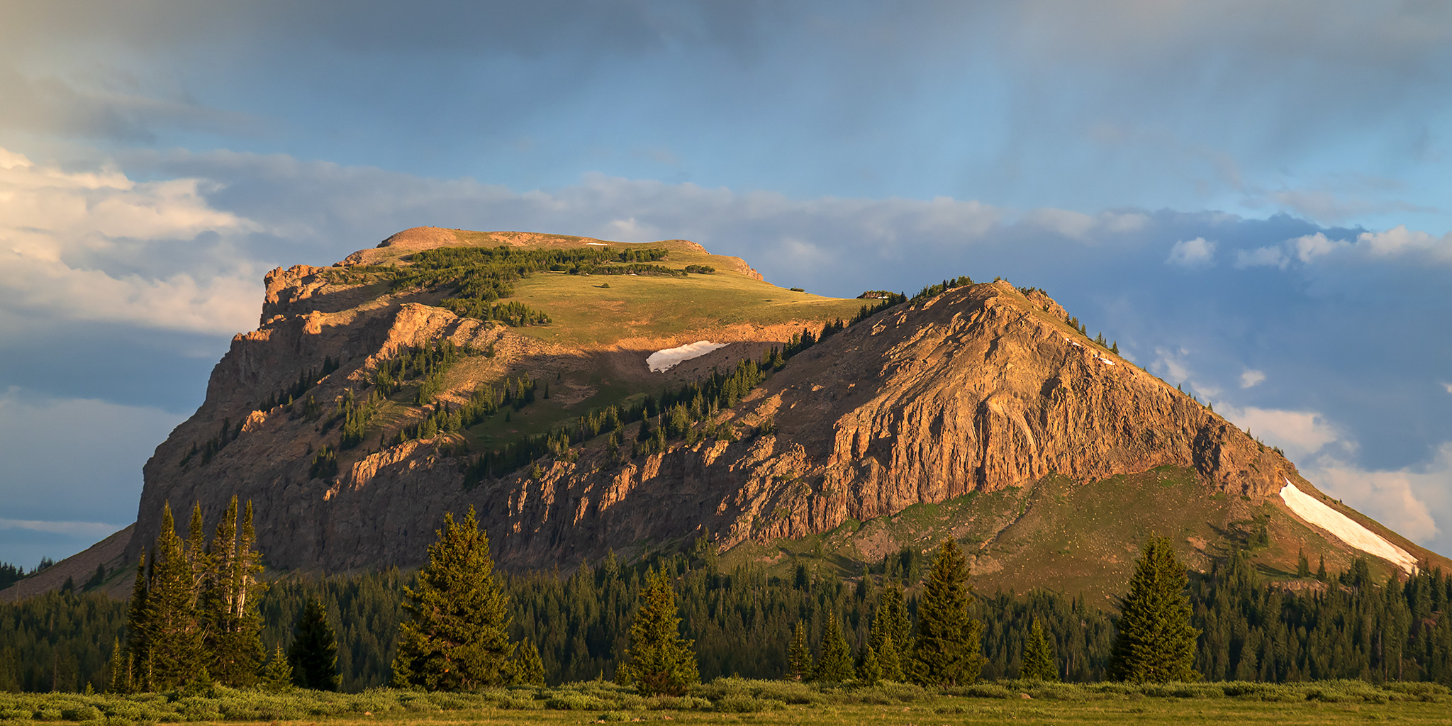
This year for the Juneteenth holiday Jackson and I headed up into the Flat Tops Wilderness for a quick overnight backpacking trip so I could finally hike to the summit of Big Marvine Peak, which is something I’ve wanted to do since the first time I laid eyes on that peak jutting out from the top of the plateau from a distance. I had actually planned to hike to Big Marvine Peak with Diane when we backpacked to the Marvine Lakes about three years ago, but things didn’t quite go as planned on that trip and we ended up just staying in the Marvine Creek drainage, so I was looking forward to trying again, but this time coming from the opposite direction. We left home early on Friday morning and made our way to Meeker, then followed the Flat Tops Trail along the White River to the Wall Lake Trailhead located just above Trappers Lake, where we began our hike.

3 Comments

The Colorado Trail: Little Molas Lake to Lime Creek

Saturday, June 6, 2026

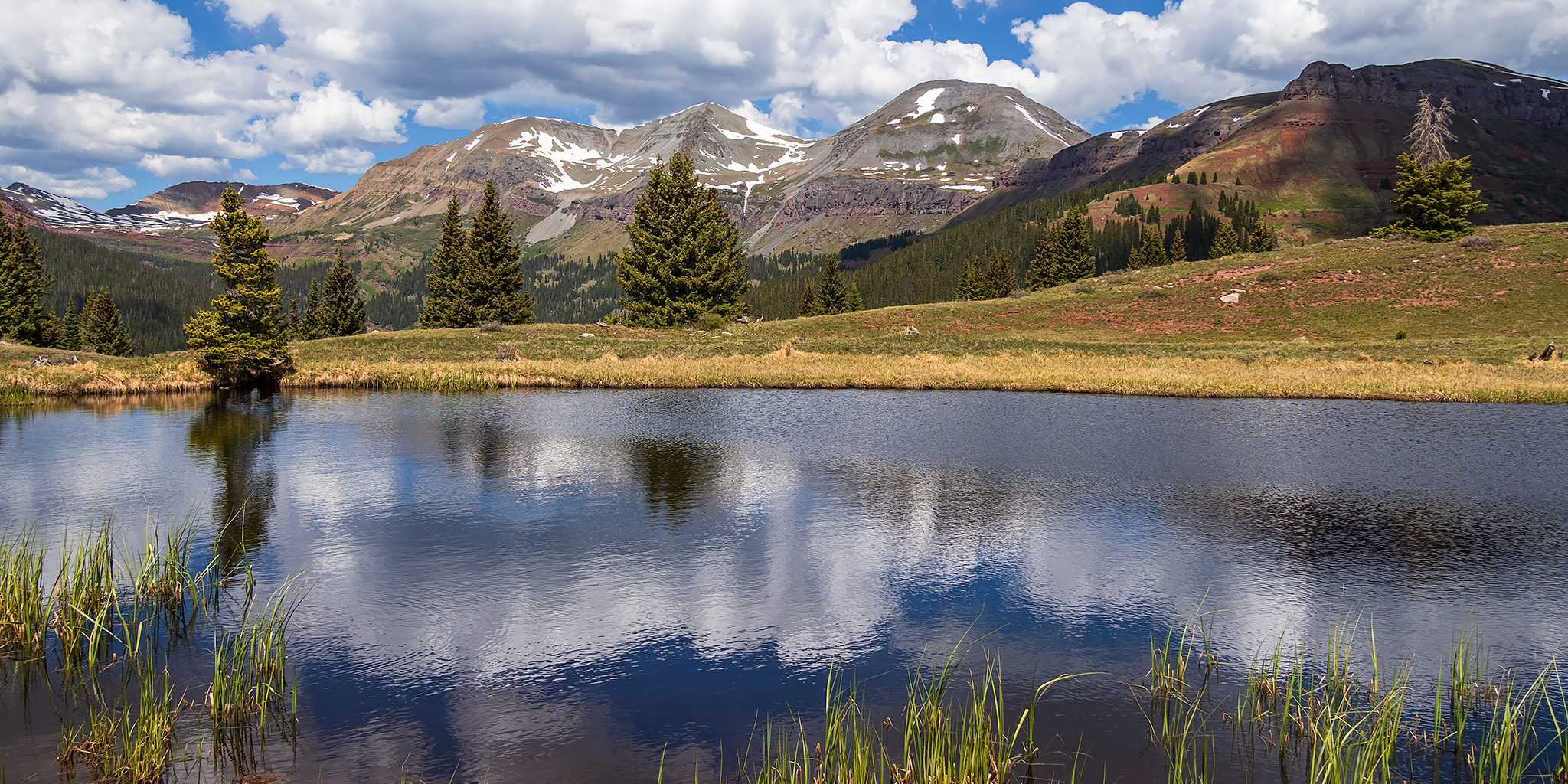
This morning I was on my way to Durango to meet up with my friend Jackson so we could raft the Upper Animas River together on Sunday. But since today was also National Trails Day, I made sure that I gave myself enough extra time to go on a high-country hike in the San Juan Mountains along the way. After following the Million Dollar Highway from Ouray to Silverton, I stopped at Little Molas Lake just above Molas Pass so I could hike a short section of The Colorado Trail to two small tarns located on a ridge between Lime Creek and North Lime Creek. Although it was clear and a little bit hazy out when I started hiking shortly after 9:00am, clouds started to build quickly later in the morning and by the time I was hiking back to the trailhead the wind had picked up and I was rained on a few times. These are a few photos from the hike.

Leave a Comment

The Gunnison River: Tongue Creek to Crane Landing

Saturday, May 30, 2026 | Average CFS: 695

This morning Jackson and I headed over to Delta so we could float the last remaining section of the Gunnison River below the Black Canyon that I had not been on yet. Although Jackson and Chris had actually floated this short section of the river a few years ago, I was unavailable the day they went and have been trying to get back ever since. While I really only needed to float the section from the Highway 65 Bridge to Confluence Park, Delta County constructed a new boat ramp a few miles further downstream just a couple of years ago and we thought it would be a good idea to extend the trip a little bit and take out there. Since this would be a pretty short and easy day trip, we decided to skip the inflatable kayaks and just bring our packrafts to make things a little easier. I met up with Jackson and his son Ken at the Crane Landing Boat Ramp by 9:00am and then we took Jackson’s car up to the put-in just below the Highway 65 Bridge.

Leave a Comment

Crossing Paradox: Sawtooth Ridge to Monogram Mesa

Lost in the West End | Friday – Sunday, May 22-24, 2026

After finally taking the time to drive the entire Rimrocker Trail back in 2024 I’ve wanted to return to the West End so I could explore more of the many old mining roads that are found around the Paradox Valley. I figured that the Memorial Day weekend would be a good time to finally do this trip since I was pretty sure this part of the Colorado Plateau would be considerably less busy than some of the more popular areas in the mountains. With temperatures warming up in the high desert and snow in the mountains melting quickly, I’m pretty sure that this will be my last desert trip until the fall as I start concentrating on the rivers and mountains for the next few months. After leaving work on Friday afternoon I drove through Unaweep Canyon to Gateway, topped off my gas tank and then continued up the Dolores River into the heart of the West End.

Leave a Comment

The Grand Canyon: Pipe Creek to Diamond Creek

Wednesday – Wednesday, April 8-15, 2026 | Low CFS: 8,030 – High CFS: 8,660

Less than a week after returning from a great rafting trip through the Grand Canyon from Lees Ferry to Pipe Creek Beach at the bottom of the Bright Angel Trail last year, I called up and booked the second half of the trip for April of this year so Diane and I could finish what we had started. Although Arizona River Runners wasn’t running their usual Hiker’s Special trip this spring, their sister company Grand Canyon Whitewater was offering the same trip, so we booked with them since it’s the same company- just with a different name on the sides of the rafts. On this trip we would be hiking down the Bright Angel Trail and then following the current of the Colorado River all the way down to Diamond Creek over the course of seven days, and we were looking forward to seeing this part of the canyon! However, as I have mentioned in the previous two Trip Reports, I had been battling a pretty bad cold for the past week and a half and was finally getting over it right as we left to drive to Arizona on Wednesday, so I was a little concerned about the hike down into the canyon since I hadn’t been able to do much hiking for the past couple of weeks, but I figured it would be OK since the hiking was all downhill…

8 Comments