Saturday & Sunday, December 16-17, 2023
Since the winter season has arrived in Moab, I decided to return to the Sand Flats Recreation Area this weekend so I could finish hiking the popular Slickrock Bike Trail just outside of town. After watching one of the most amazing sunsets I’ve seen from the Needles Overlook in early 2020, I had hiked about half of the Slickrock Trail’s eastern side but I wasn’t able to complete the full loop that day because there was just too much snow on the steep slopes of the undulating trail that made it dangerous and hard to follow. I figured this would also be a good opportunity to just spend the entire weekend within Sand Flats so I could continue hiking some of the trails in the area that I had not been on before and spend the night in one of the camp loops. It sounded like a good enough plan to me, so I left home early on Saturday morning and made my way over to Moab.
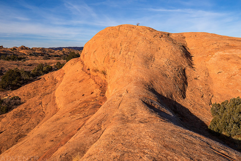
I made it to the Slickrock Trailhead shortly after sunrise on Saturday morning and quickly started my hike across the rugged expanse of rolling Navajo Sandstone hills.

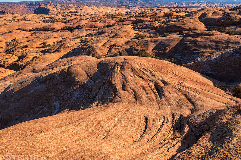
The slickrock views went on for miles…

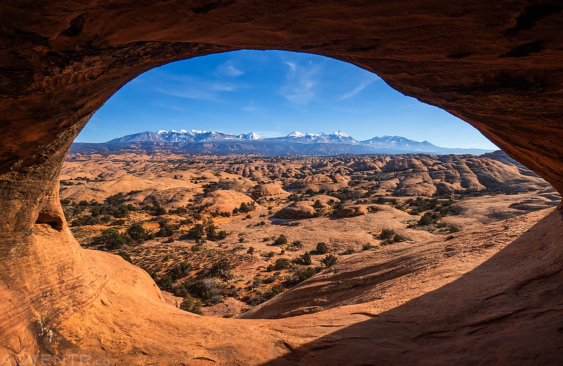
After going left at the main loop junction, I passed beneath Mountain View Cave but did not climb up to it now since I knew I would be coming back by it later in the day.

Following the dashed lines that mark the main trail up onto a high fin.

Up on the fin I passed by this suspension bridge which is on a corner of Private Property that the trail passes through. There are also a bunch of ziplines in the area.

I continued following the fin out toward the Portal Viewpoint.

Portal Viewpoint

It was a little trickier finding my way out to the Panorama Viewpoint since almost all of the painted dots that are supposed to mark the way have disappeared, but the route was fairly obvious if you are used to wandering around slickrock fins.
Colorado River Canyon

Here’s a view of the surrounding landscape as I was hiking back down from the Updraft Viewpoint.
After following an ‘alternate’ route to complete the loop, which was also a bit tricky to follow with more disappearing painted dots, I returned to the Mountain View Cave and climbed inside.
To change things up a bit, I followed part of the Hell’s Revenge trail on the way back to the trailhead. If you had asked me 15-20 years ago if I’d ever hike even part of the Hell’s Revenge Trail, I would have probably thought you were crazy for even suggesting such a thing when I could just drive it in my Jeep. My, how things change…

Back to the dashed lines of the Slickrock Bike Trail.

Abyss Canyon

There were a lot of ups and downs along the way. According to my GPS, I hiked about 12 miles with 2,700 feet of elevation gain by the time I returned to the trailhead.

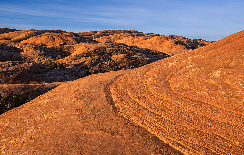
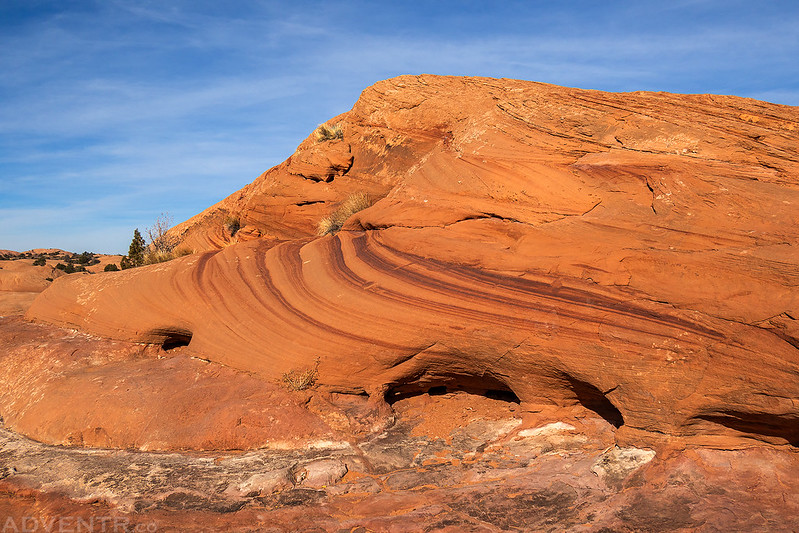
Slickrock Domes

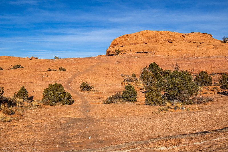
Looking back at the Slickrock Trail just before reaching the trailhead.
After a late lunch and a short rest I drove over to the Juniper Trail so I could hike the short loop.
The views from the Juniper Trail were pretty nice and this area would probably be a good place to catch a sunset from.

Following the Juniper Trail along the edge of the mesa.

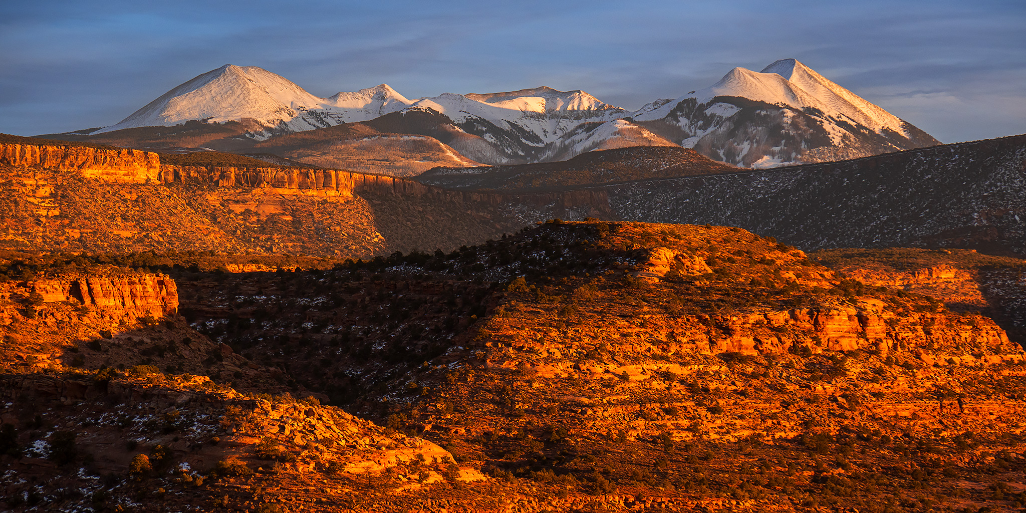
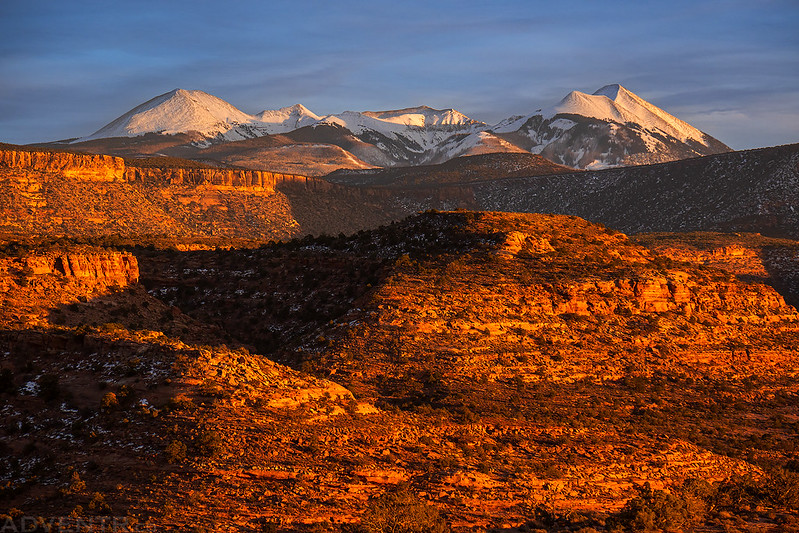
Next, I hiked the Pinyon Trail and then drove out to the edge of Rill Creek Canyon and arrived just in time to catch the sunset with a great view of the La Sal Mountains towering over the red rocks.


I stopped for a quick photo of these fins at dusk as I left Sand Flats and drove down into Moab for dinner.

After dinner I returned to Sand Flats and spent the night in the Cottontail Campground Loop, which I would have all to myself this night. On Sunday morning I woke up about an hour before sunrise and drove up to the LPS Trailhead at the very eastern edge of the San Flats Recreation Area. I planned to hike a short six mile loop combining the the LPS Trail, Porcupine Rim Trail and Eagle Eye Trail this morning before heading back home. I was looking forward to watching the sunrise from the top of the Porcupine Rim since I had not been along it’s edge in over fifteen years!
Porcupine Rim emerging from the shadows.

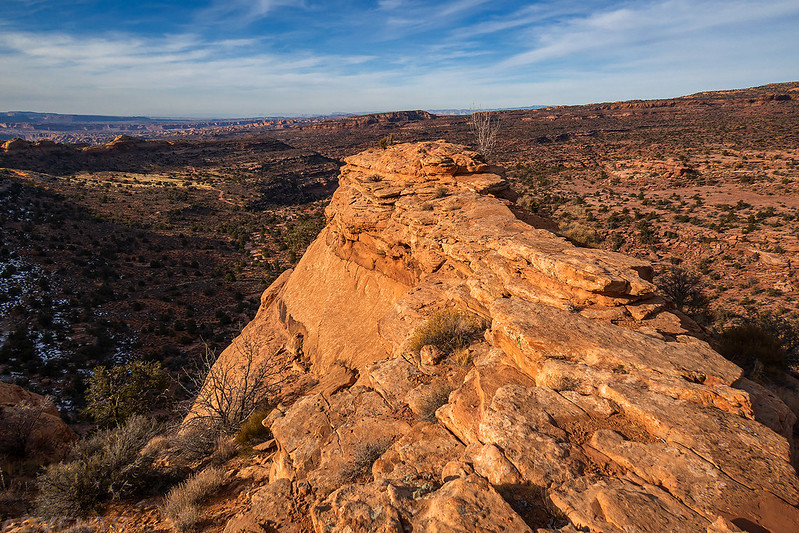
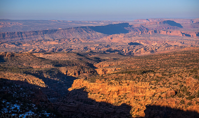
Lovely views over Castle Valley from the Porcupine Rim.
The LPS Trail stayed pretty close to the rim for it’s entire length.
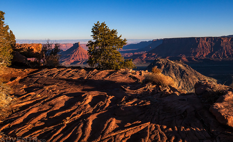
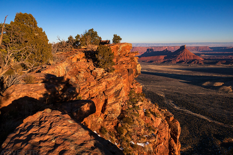
There’s a good view of Castleton Tower from the overlook where LPS meets the Porcupine Rim Trail.

That crack in the Earth below is Grandstaff Canyon.
After returning to my Jeep I drove further up the Sand Flats Road to the La Sal Mountain Loop Road and then down into Castle Valley and back home. It had been a nice weekend in the Sand Flats Recreation Area and I look forward to returning so I can hike the few remaining trails I have left in the area. Maybe I’ll find time to come back next year?
