Press "Enter" to skip to content

Tag: gunnison river

Gunnison Gorge: Chukar Trail to Gunnison Forks

Gunnison River: Rafting the Black Canyon of the Gunnison
Saturday, July 11, 2026 | Average CFS: 465

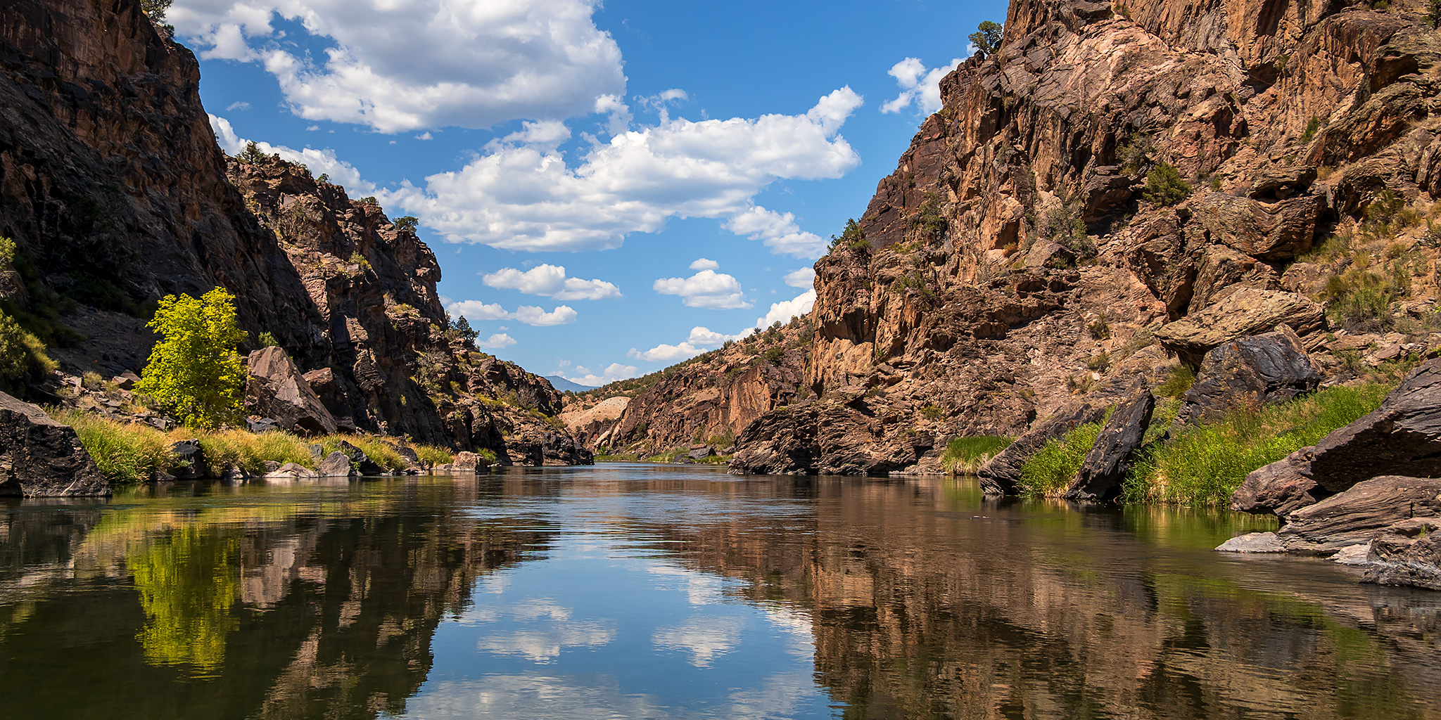
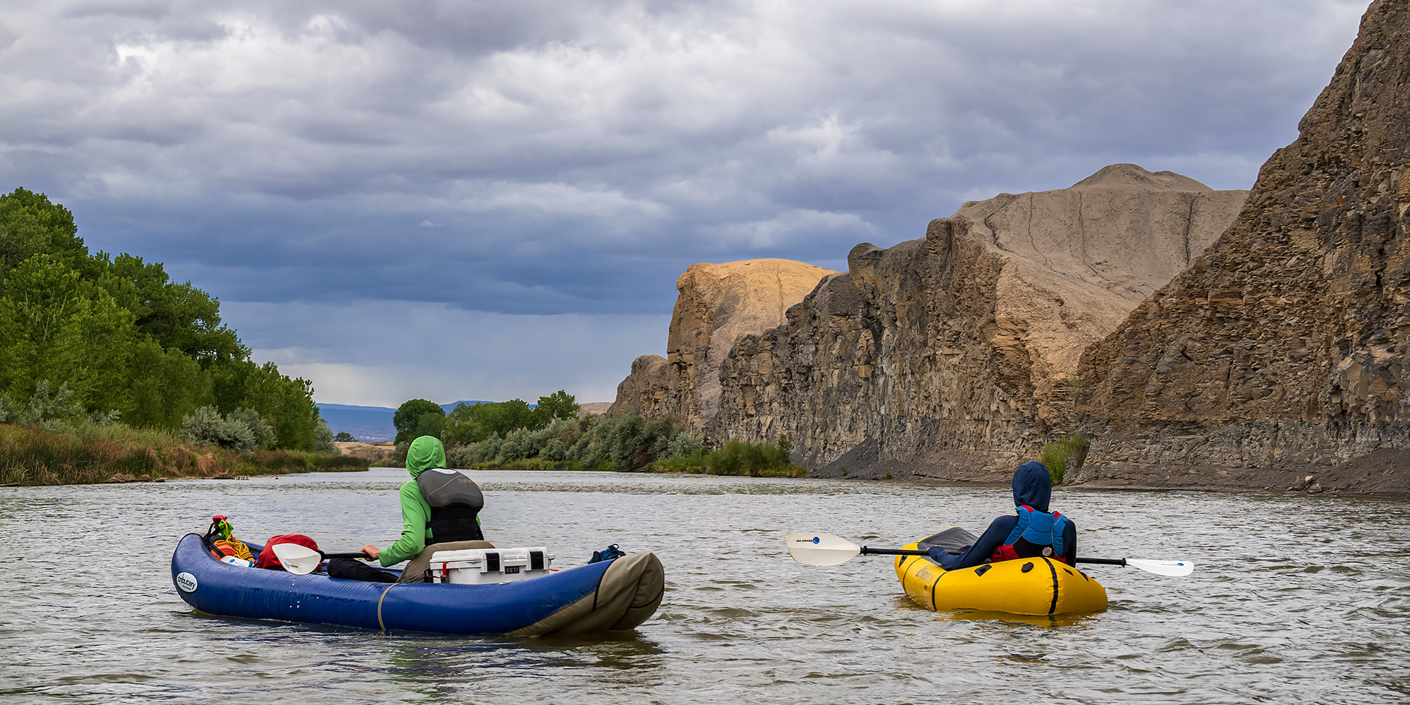
This year Jackson and I made it one of our top priorities to raft the Gunnison River through the Gunnison Gorge this summer, which is a local trip that has been on my to-do list for way too long! We figured with the low snowpack this past winter and lower flows coming out of the Crystal Dam upstream that this would be a good time to finally give it a shot. Initially, we were considering doing it in our packrafts since it would be easier for us to just pick a day, hike in, and go, but after having so much fun on the Upper Animas River last month we thought it might be fun to go in a paddle raft with a few friends, so we contacted Bob and Lisa who were also interested in giving it a try. At first we were planning to use Bob and Lisa’s raft, but after a little research we realized that it might be a little too big for the narrow chutes at these low flows, so Jackson rented us a smaller raft from Colorado Mesa University to use instead. He also called J & Ray Outfitters to reserve a packhorse which would get our raft and gear down the Chukar Trail to the river.

4 Comments

Deep Black: East Portal Trail to Deadhorse Gulch

Black Canyon of the Gunnison | Saturday, May 30, 2026

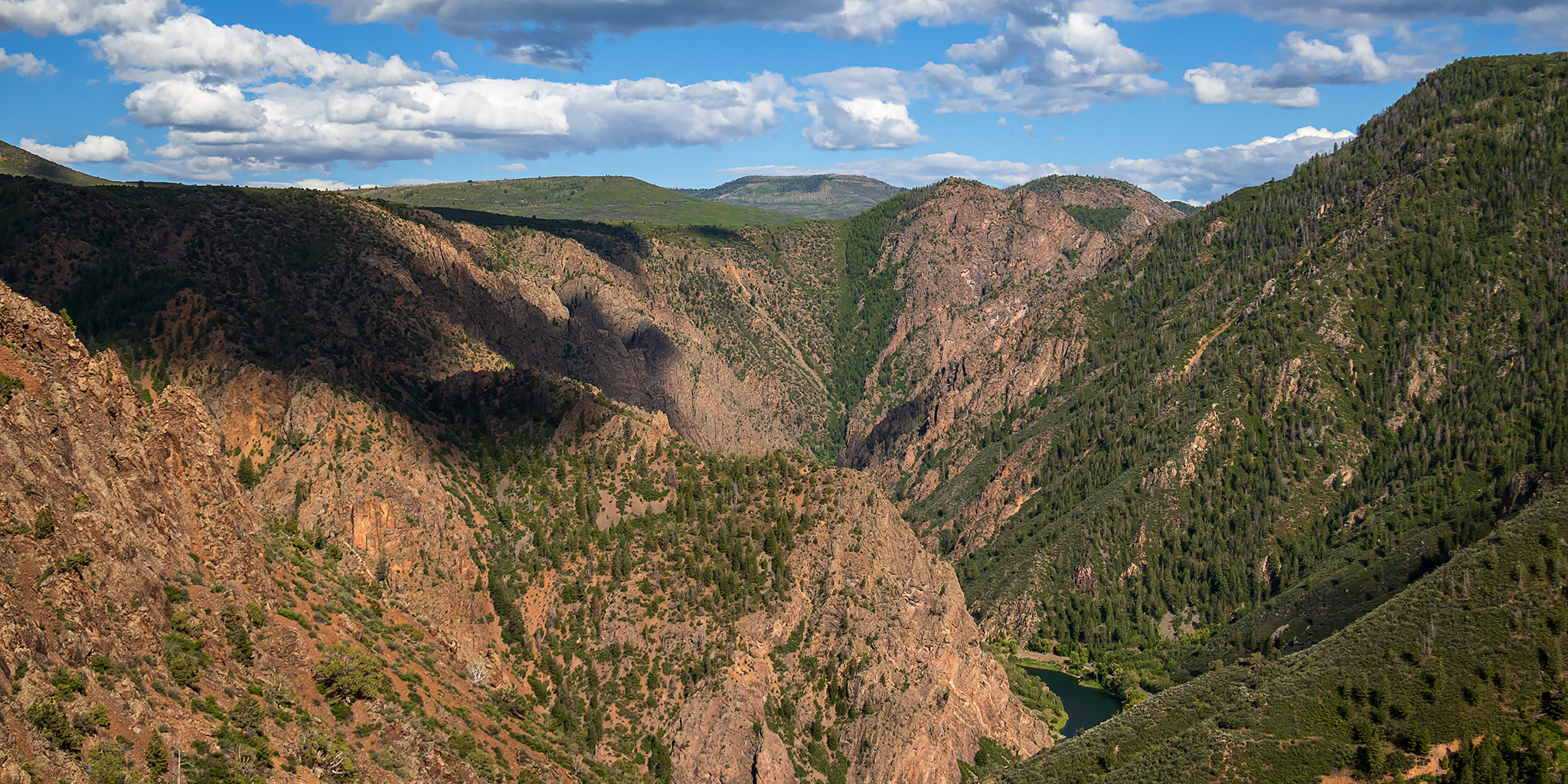
After floating a short segment of the Gunnison River through Delta on Saturday morning, I returned home in the afternoon to drop off my rafting gear, took a quick shower and loaded up my camping gear into the 4Runner since I had made a last minute decision to hike the Ouray Perimeter Trail first thing on Sunday morning. I figured that on my way to Ouray I could spend the rest of this evening at the East Portal deep in the Black Canyon of the Gunnison since I had not been down that way in over a decade and there was a short hiking route just downstream from the campground that I had not hiked before and was interested in checking out.

Leave a Comment

The Gunnison River: Tongue Creek to Crane Landing

Saturday, May 30, 2026 | Average CFS: 695

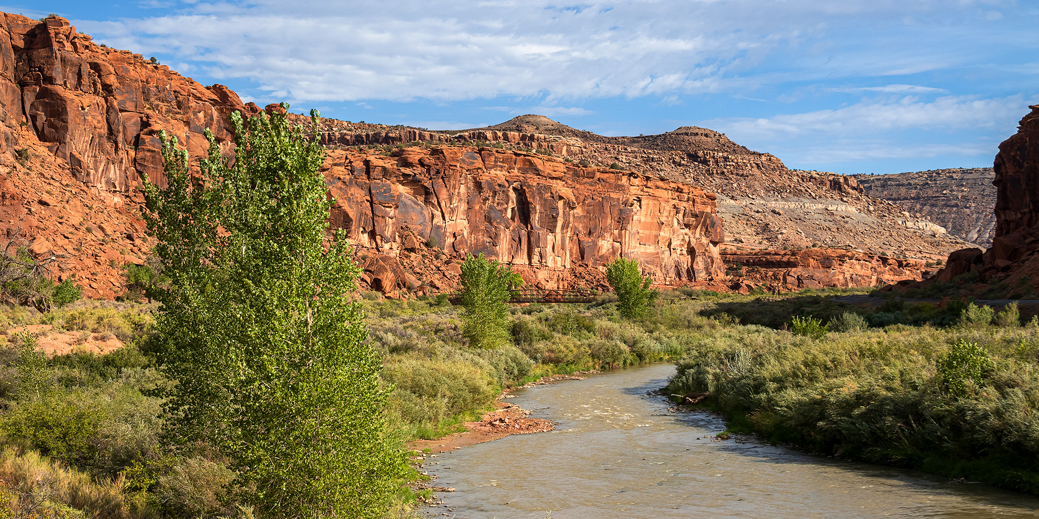
This morning Jackson and I headed over to Delta so we could float the last remaining section of the Gunnison River below the Black Canyon that I had not been on yet. Although Jackson and Chris had actually floated this short section of the river a few years ago, I was unavailable the day they went and have been trying to get back ever since. While I really only needed to float the section from the Highway 65 Bridge to Confluence Park, Delta County constructed a new boat ramp a few miles further downstream just a couple of years ago and we thought it would be a good idea to extend the trip a little bit and take out there. Since this would be a pretty short and easy day trip, we decided to skip the inflatable kayaks and just bring our packrafts to make things a little easier. I met up with Jackson and his son Ken at the Crane Landing Boat Ramp by 9:00am and then we took Jackson’s car up to the put-in just below the Highway 65 Bridge.

Leave a Comment

Red Rocks – Nighthorse Trail to Spikes & Sidewinder

Gunnison Gorge National Conservation Area | Wednesday, May 20, 2026

After spending Saturday hiking to the bottom of the Black Canyon of the Gunnison, I decided to return again to the Gunnison Gorge this afternoon for only my second After Work Adventure of the year. This time I wanted to continue hiking trails within the National Conservation Area that I had not been on before and went for a 7.5 mile loop that combined the Red Rocks – Nighthorse Trail, Spikes Trail and Sidewinder Trail starting from the end of the Bobcat Road. Here are a few photos from the hike.

Leave a Comment

Deep Black: The Warner Route

Black Canyon of the Gunnison National Park | Saturday, May 16, 2026

After hiking into the Black Canyon of the Gunnison last year via the Gunnison Route I believe I said that I wouldn’t be interested in hiking any of the other Inner Canyon routes into the canyon, but I guess I lied because earlier this year I had the strange desire to give another of the Inner Canyon routes a try. Currently the only other route that is open from the South Rim is the Warner Route because of the South Rim Fire last summer, so back in early April I grabbed a Wilderness permit on Rec.gov so I could give this one a try. Of course, not only is this route the longest one at about 2.75 miles each way, but it also has the most elevation change at over 2,700 feet! I asked my friend Jackson if he would be interested in joining me this time and thankfully he was up for the challenge! We left home bright and early on Saturday morning and were on the trail from the Warner Point Trailhead shortly after 7:00am.

Leave a Comment