Iron Wash to Mormon Tanks Canyon | Friday – Sunday, November 14-16, 2025
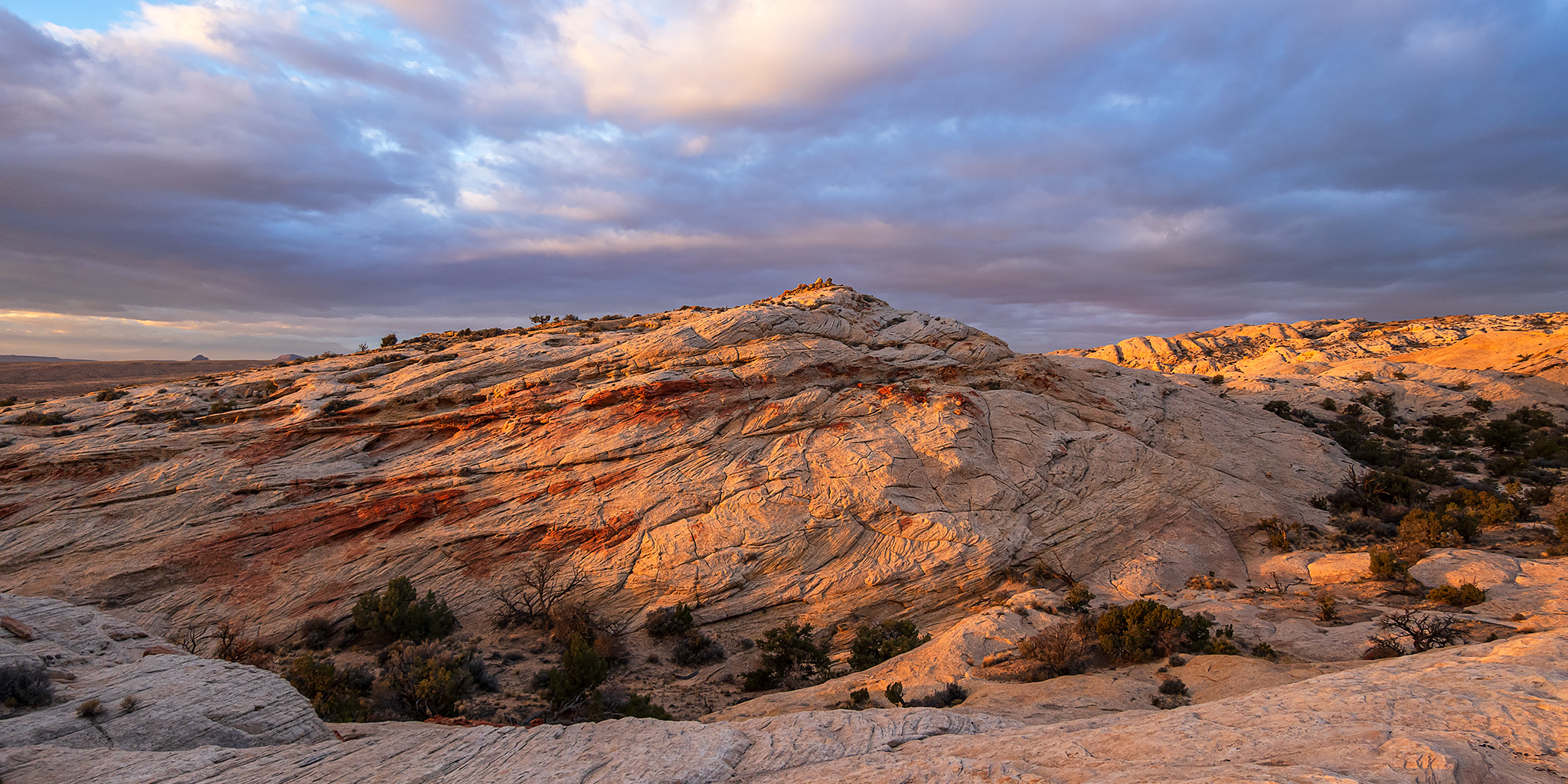
I was originally hoping to spend this weekend searching for ruins and rock art on Cedar Mesa, but a wet and snowy weather forecast wasn’t looking good for that area, so instead I decided to stay a bit closer to home and head over to the San Rafael Reef Wilderness where I could explore a few new canyons. I left after work on Friday afternoon, topped off my gas tank in Green River and then made my way over to the foot of the San Rafael Reef where I found a campsite after dark, read for a little while and went to bed early. On Saturday morning I got up before sunrise and started hiking up Iron Wash at dawn. Although I have hiked up Iron Wash before, I don’t recall going very far, and besides it was so long ago that and I don’t remember much about it and was looking forward to checking out this canyon again and going further this time.
1 Comment