Rock Art of the Book Cliffs XI | Friday – Sunday, May 23-25, 2025
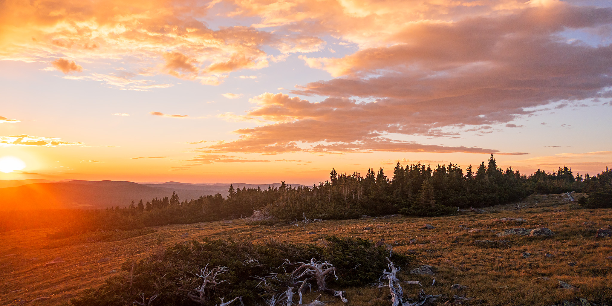
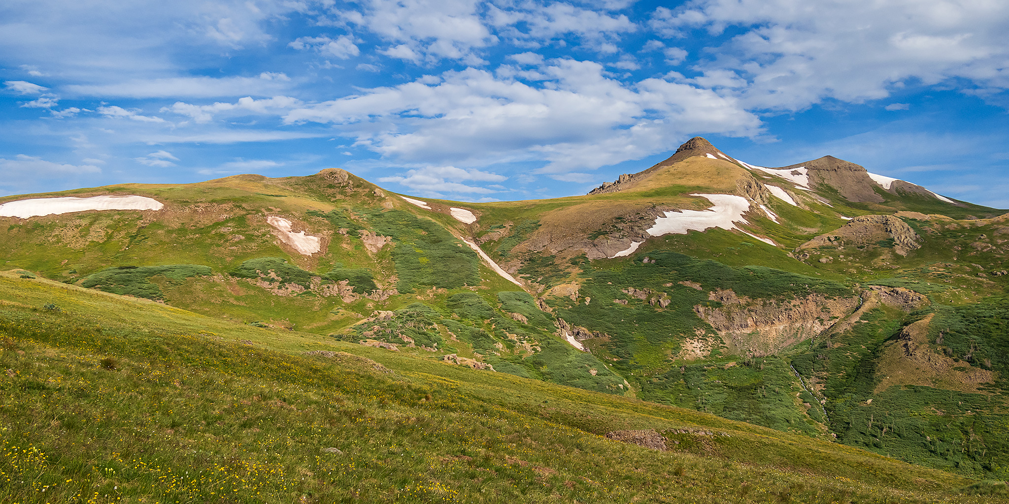
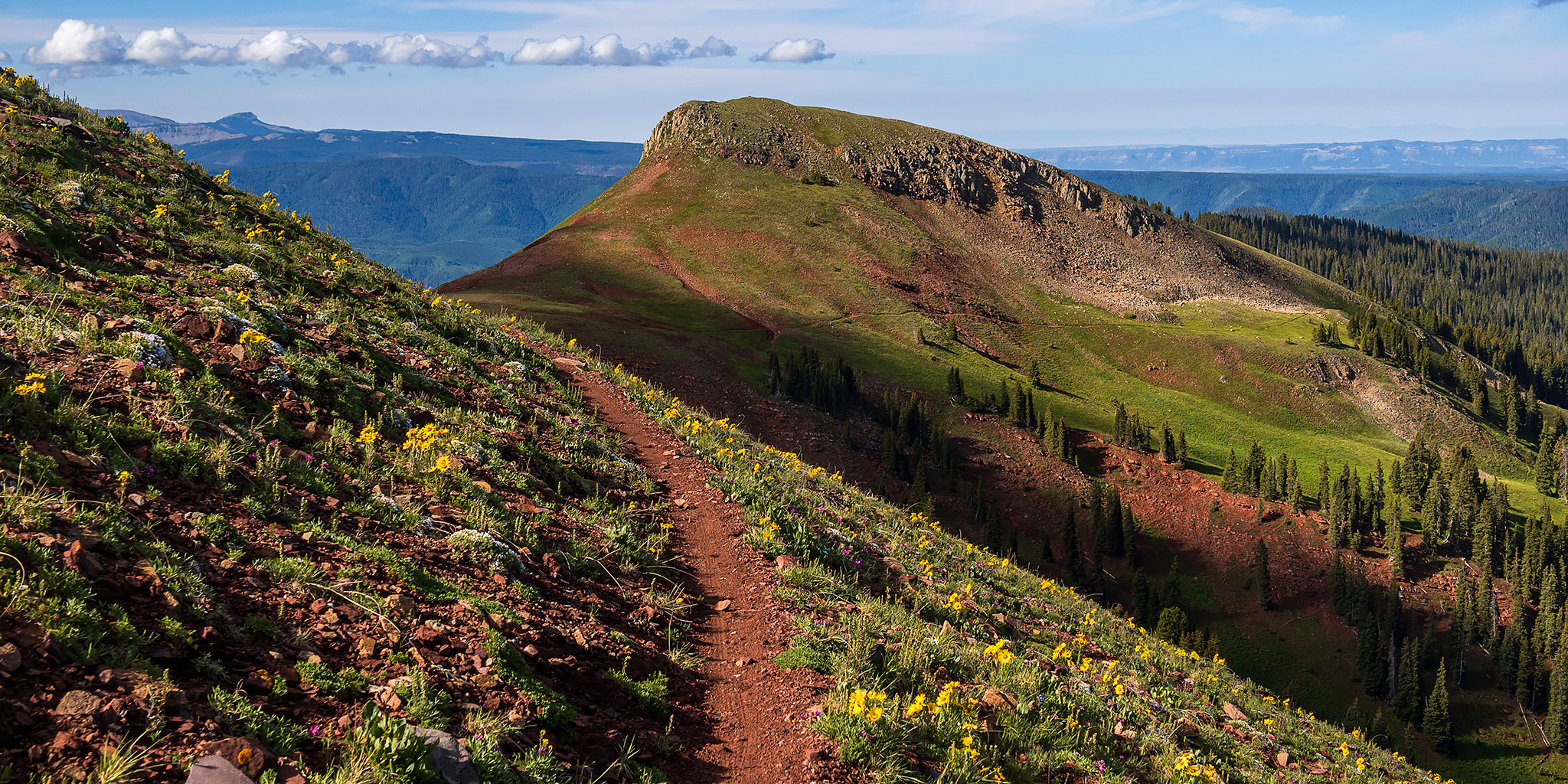
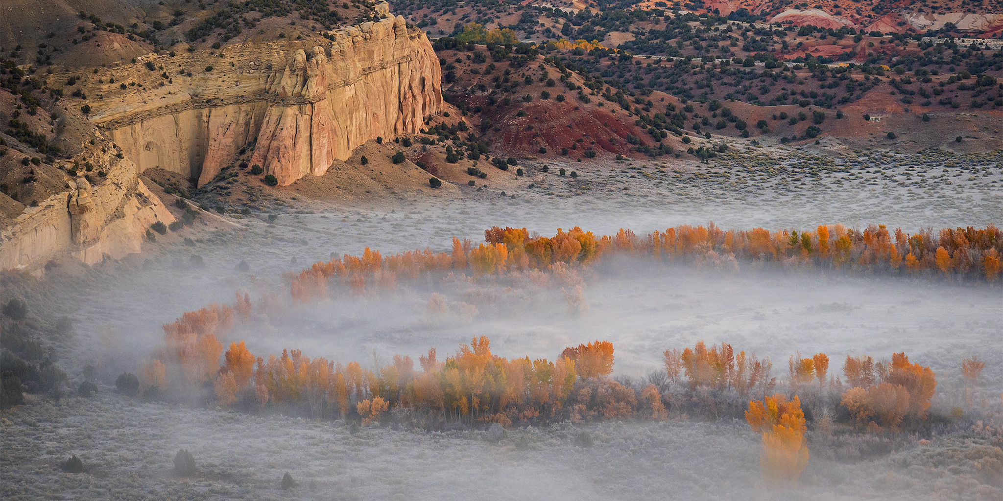
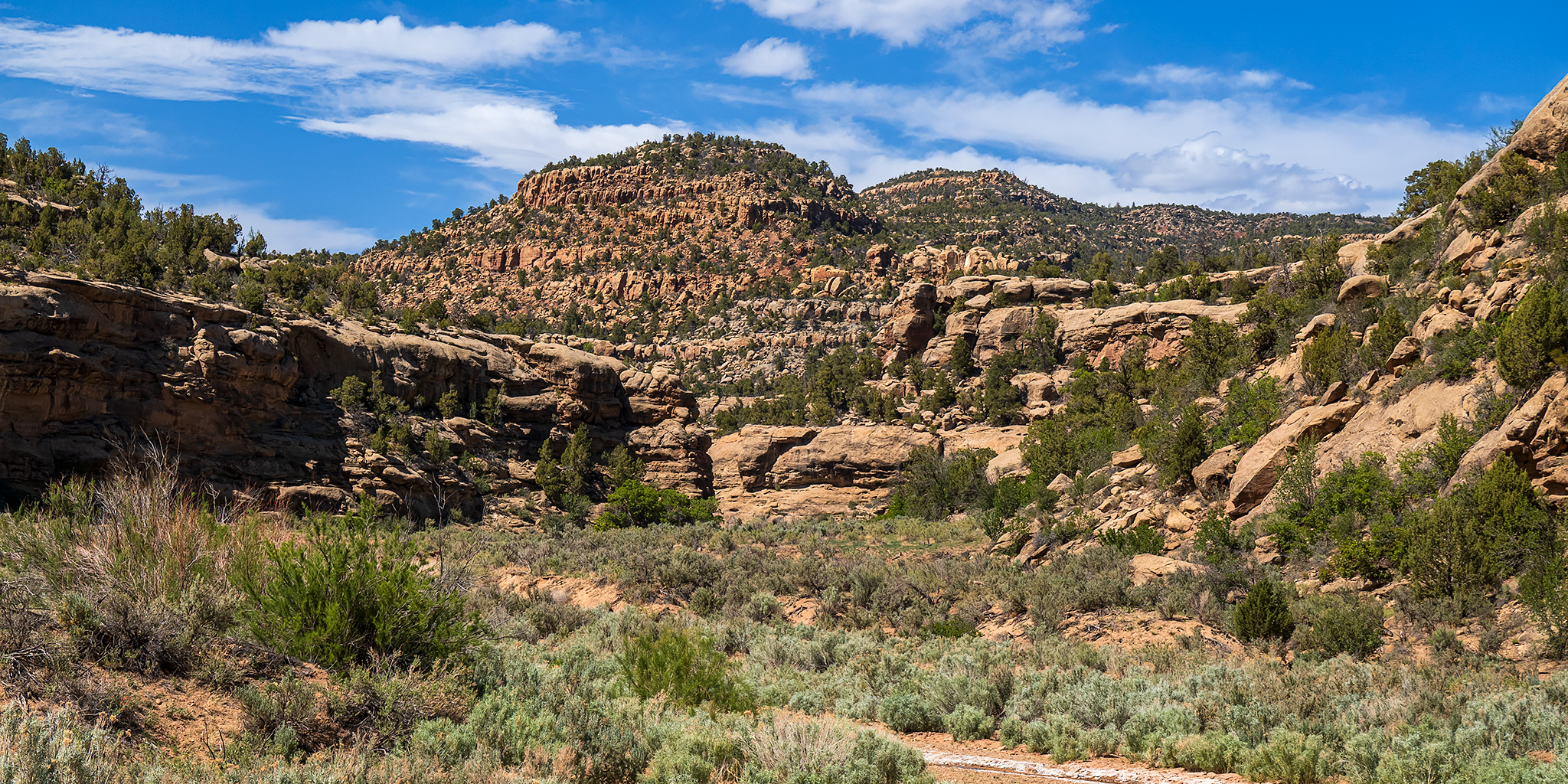
After floating through Desolation Canyon last week I’ve become very interested in spending more time within the canyons of the Tavaputs Plateau from the crest of the Book Cliffs to the depression of the Uinta Basin, and I thought this would be the perfect place to spend this busy holiday weekend away from the more popular areas of southern Utah, just like I had done four years ago. I met up with a friend late on Friday afternoon so we could spend the remainder of the weekend camping, hiking and searching the canyons for rock art. Throughout the weekend we found quite a few petroglyphs and pictographs left by a number of different cultures and time periods from Barrier Canyon Style to Fremont and Historic Ute. We ended up driving a lot of dusty miles on rough roads, saw a lot of wildlife including wild horses and elk, plus we saw a lot of dead cows for some reason. These are some photos of what else we saw along the way…
6 Comments