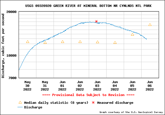
Ruby Ranch to Mineral Bottom | Average CFS: 17,300
Thursday – Sunday, June 2-5, 2022
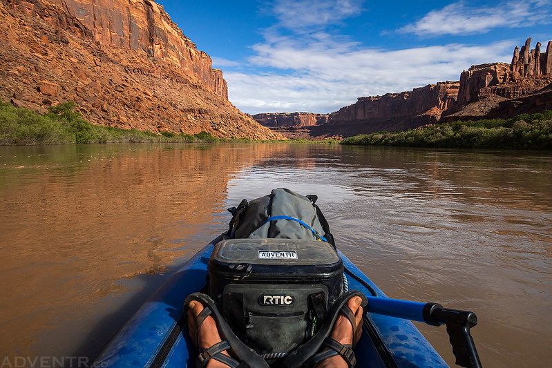
After spending a full week circling around the Colorado Plateau with Diane, then having two days at home to rest and two more days back at work, it was finally time to get back on the river! Although my friends and I had entered a couple river permit lotteries earlier in the year, none of us were successful at getting any, so instead we decided to do another float through Labyrinth Canyon of the Green River from Ruby Ranch to Mineral Bottom. While I typically prefer to float the Green River and Colorado River through the canyonlands region in the late summer when there are plenty of sandbars for camping on, which are some of my absolute favorite places to camp, I figured it would be interesting to see what the river was like at high water, even though I knew that it was going to be a busy place with limited campsites at this time of the year. I knew from the start that I wasn’t going to be doing much hiking and exploring on this trip, so I just planned on a relaxing float down the river with plenty of time spent in camp.
As you can see from the chart below, we managed to hit the Green River at it’s peak this year! While we were on the river, the Flaming Gorge Dam was releasing quite a bit of water, plus the Yampa River was running high at the same time.
I woke up early on Thursday morning and headed over to Jackson’s house to pick up him and his family. After squeezing all their gear into my Jeep we headed west into Utah and made our way to the dirt ramp at Ruby Ranch. There were a lot of people putting on the river there when we arrived, more than I have ever seen here before, and it was kind of a mess. Steve, Pirie and Bob showed up a little later than us, but as soon as they got there we quickly rigged our boats and got on the river. Steve had set up a shuttle with Paddle Moab to drive our two vehicles over to Mineral Bottom, and even though I was a little hesitant to let a stranger that was not responsible for any damages drive my brand new Jeep (which still had that new car smell), I took my chances…
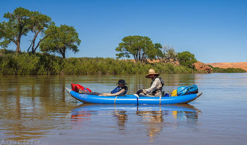
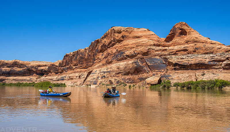
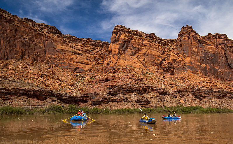
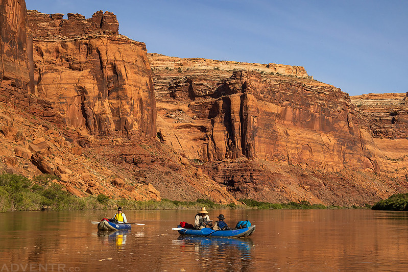
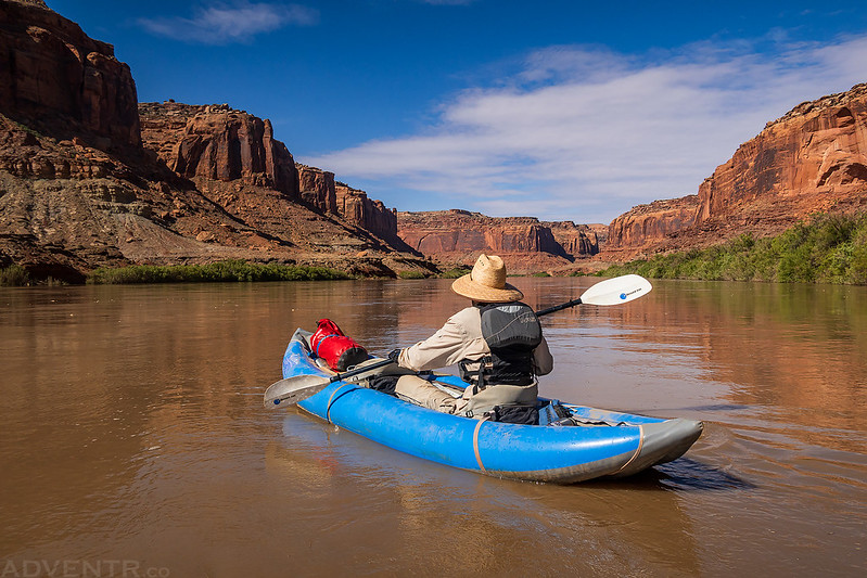
Here are Ken and Jackson on the river near the mouth of the San Rafael River.
This morning we pass some curious black bluffs on the right, then two or three short canyons, and then we discover the mouth of the San Rafael, a stream which comes down from the distant mountains in the west. Here we stop for an hour or two and take a short walk up the valley, and find it is a frequent resort for Indians. Arrowheads are scattered about, many of them very beautiful; flint chips are strewn over the ground in great profusion, and the trails are well worn.
Starting after dinner, we pass some beautiful buttes on the left, many of which are very symmetrical. They are chiefly composed of gypsum, of many hues, from light gray to slate color; then pink, purple, and brown beds. Now we enter another canyon. Gradually the walls rise higher and higher as we proceed, and the summit of the canyon is formed of the same beds of orange-colored sandstone. Back from the brink the hollows of the plateau are filled with sands disintegrated from these orange beds. They are of a rich cream color, shading into maroon, everywhere destitute of vegetation, and drifted into long, wave-like ridges.
Major John Wesley Powell,
July 14, 1869


The sky was clear and the sun was hot today!
Here’s the view as we floated past the mouth of Three Canyon in the Trin-Alcove Bend. We were considering camping here so we could explore the canyon, but found other groups already there, so we carried on.

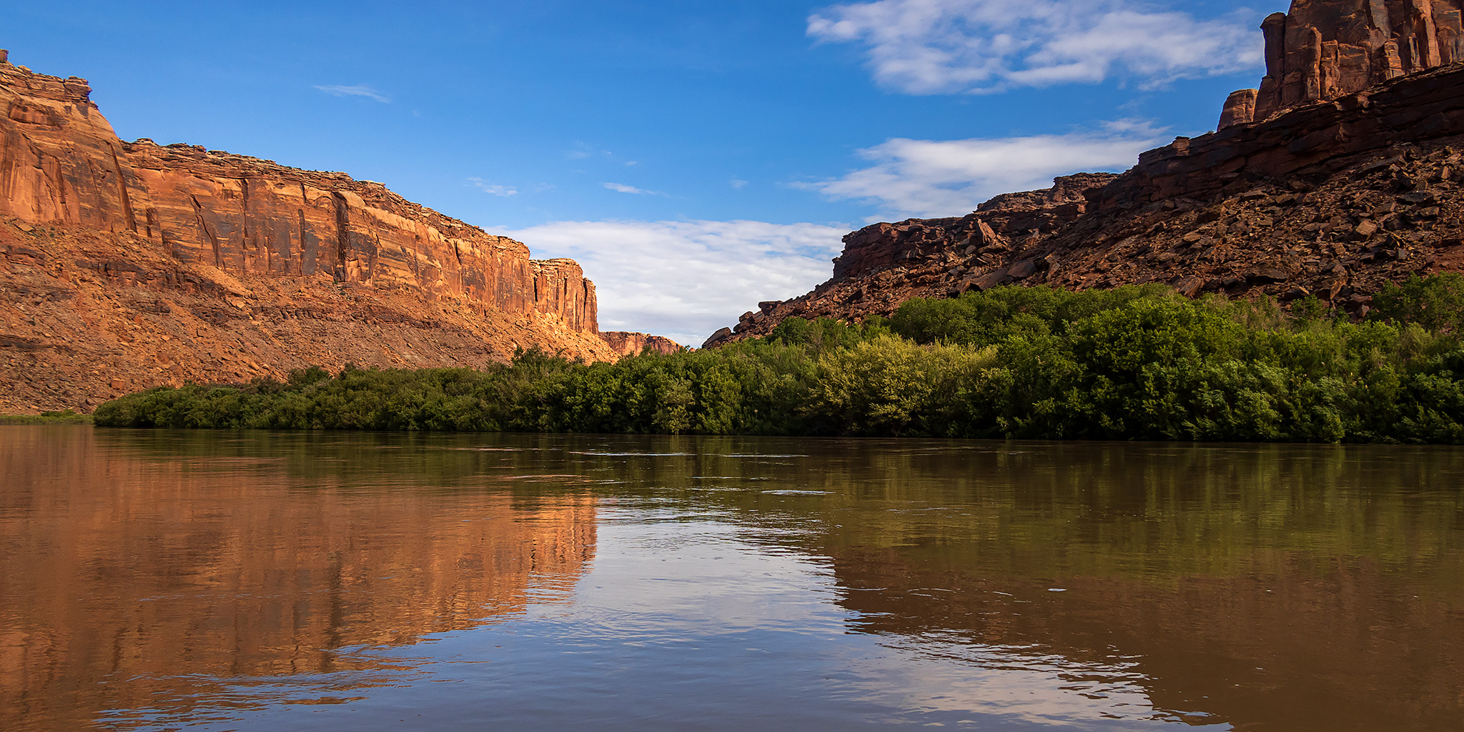
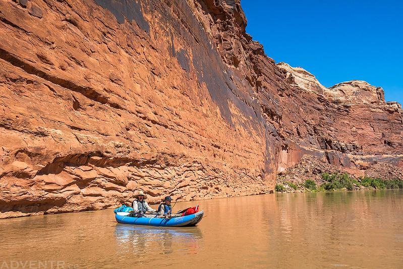
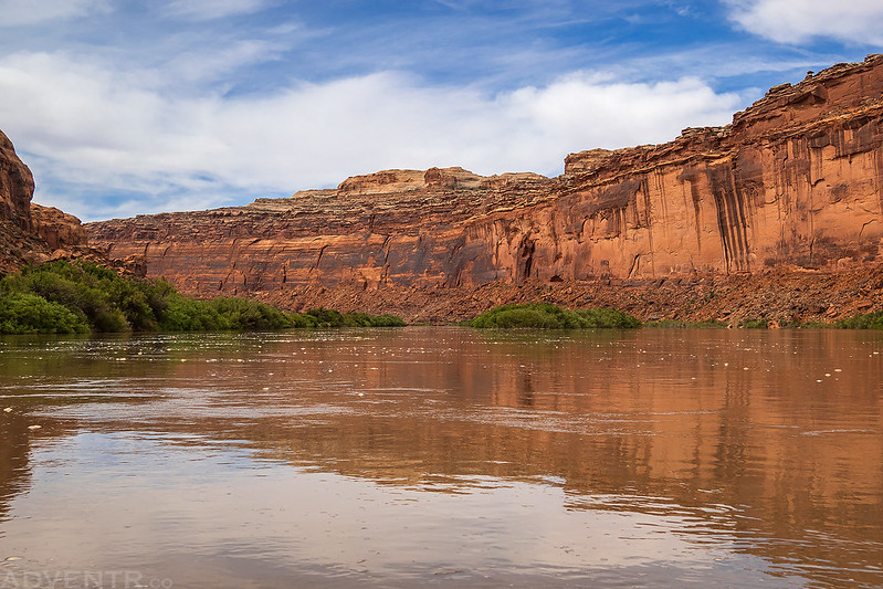
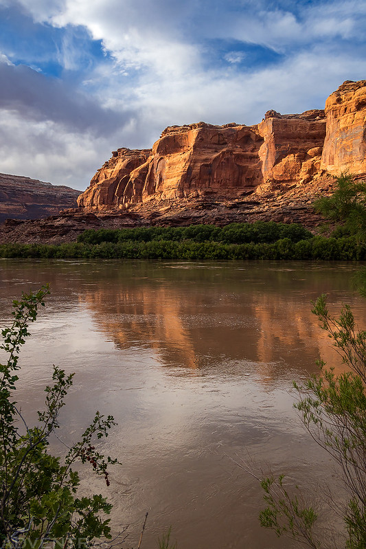
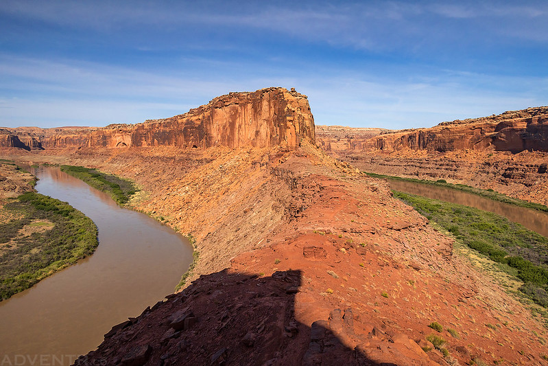
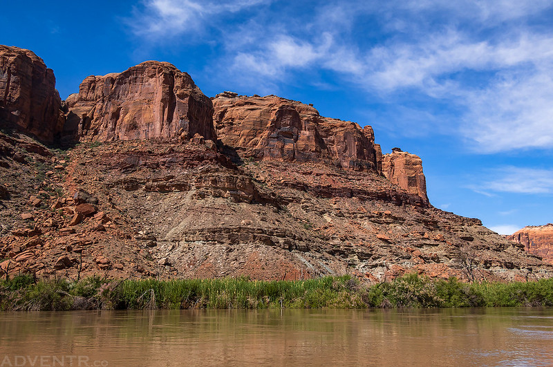
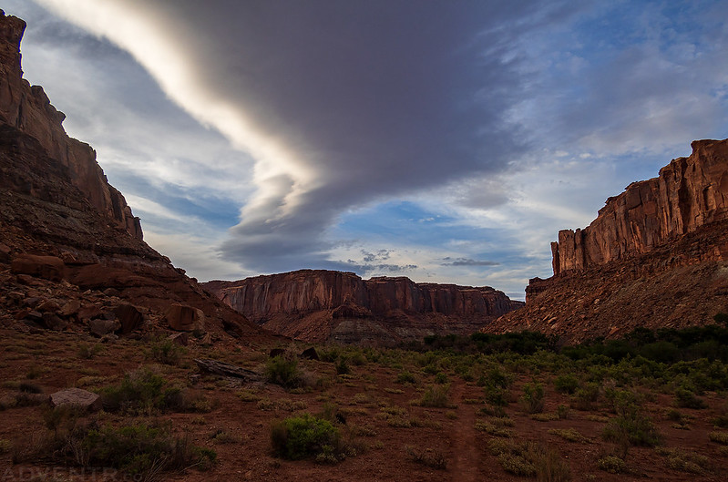
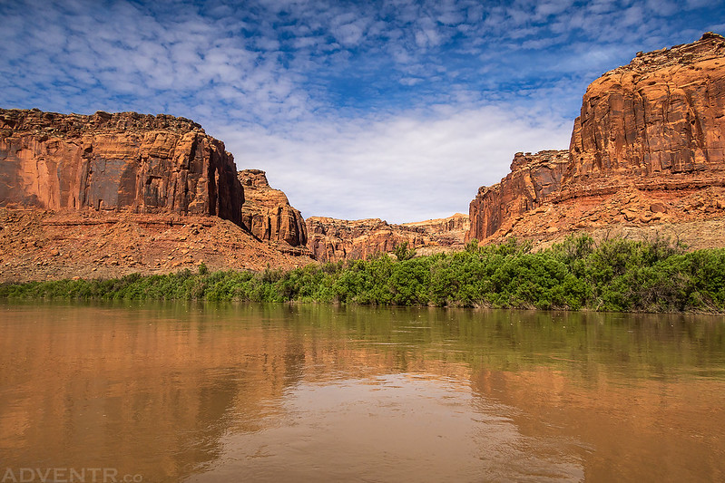
The walls of Labyrinth Canyon grew taller…
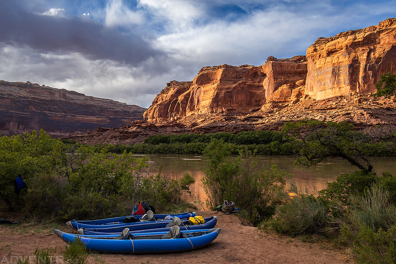
Eventually we found a decent campsite at Tenmile Bottom, but access from the muddy shore and through the tamarisk was a bit tricky. That would be a common theme with all of our campsites during this trip at high water.

I went for a short evening walk behind camp on Tenmile Bottom.
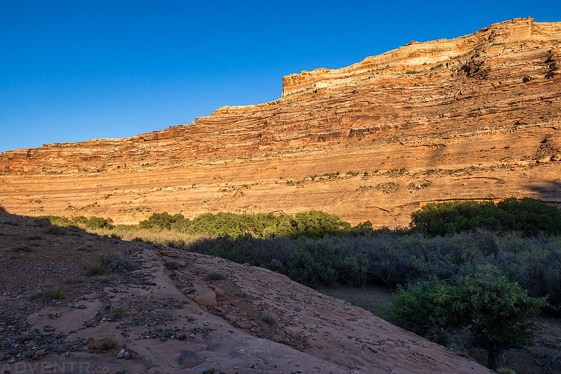
After breakfast on Friday morning we were on the river early to find a new campsite and there were some nice high clouds that blocked the sun for a while.

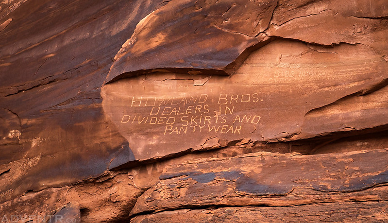
I took this photo of the Howland Bros. inscription as we floated by.
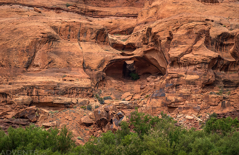
Then I spotted this small pothole arch.
Eventually the clouds started to clear and we saw some blue sky again.
We passed by the Launch Marguerite inscription before finding a nice campsite.

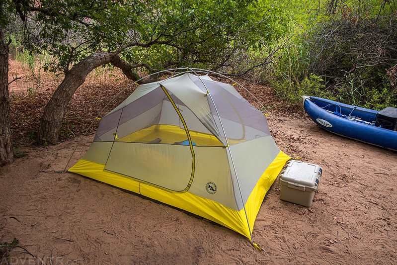
This campsite was much nicer than the first one we stayed at, and was actually a site we stayed at on our last trip through Labyrinth Canyon.

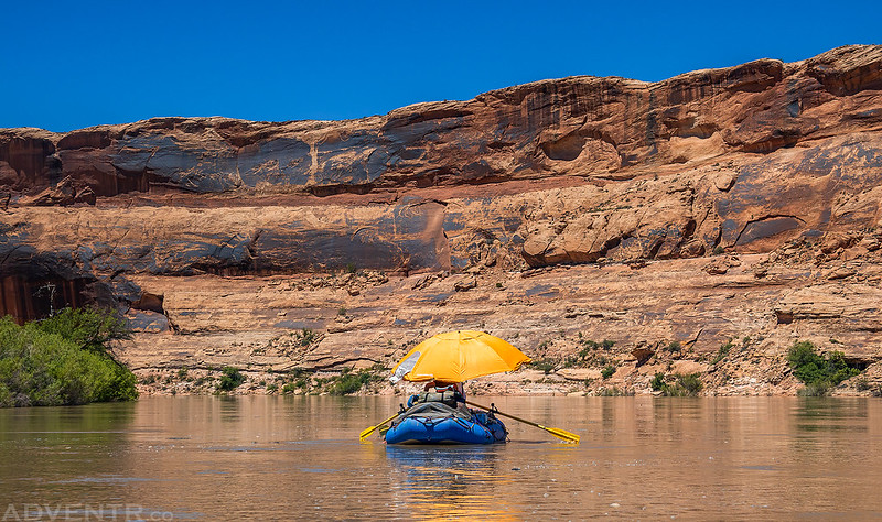
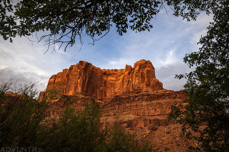
The late afternoon light was looking nice in the canyon this evening.
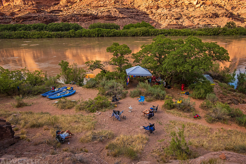
A view of our camp from above.
A lovely evening in Labyrinth Canyon.
We were up early and on the river early again Saturday morning, but this time it was so we could beat the heat on the hike up to the Bowknot Bend Saddle.

Starting up the trail to the Bowknot Bend Saddle.

Getting some new views of the Green River from a higher vantage point.


Soon we reached the top of the Bowknot Bend Saddle. It was nice to return to this spot since I’ve viewed it a couple different times from different places this past winter as I explored the Labyrinth Rims in my Jeep.
Looking downstream from the saddle. We wouldn’t be floating through this section of the river until the following morning.

Back on the river as we started floating around Bowknot Bend looking for a new campsite.

We only ended up floating a couple miles today since we found a great campsite in the Bowknot Bend across from Spring Canyon. We had stopped here for lunch on our previous trip and were happy to see that no one was already camped there when we arrived.
When I wasn’t relaxing in the great shade at camp, I was able to explore the old miners cabins nearby.
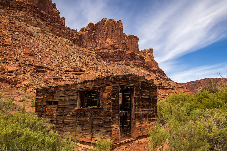
There were plenty of relics from the Uranium mining days scattered about.
Great Basin Collared Lizard

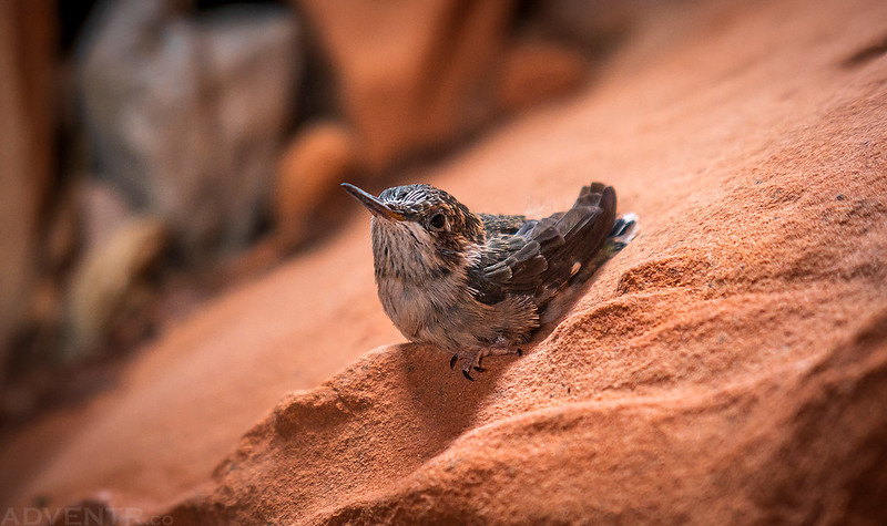
Jackson spotted this tiny hummingbird chick that was still too young to fly.
The light and clouds were looking nice before sunset this evening.


This was my view from our third and final campsite as the sun went down.
We were up and on the river early again on Sunday morning since we still had about 15 miles to go to reach Mineral Bottom.

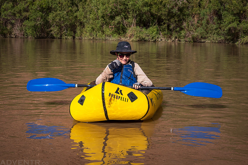
Ken was happy to get in the packraft for a while this morning.
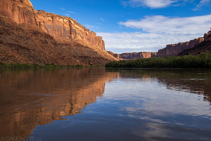
There were nice reflections on the water this morning.

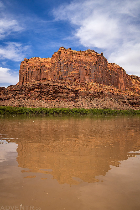
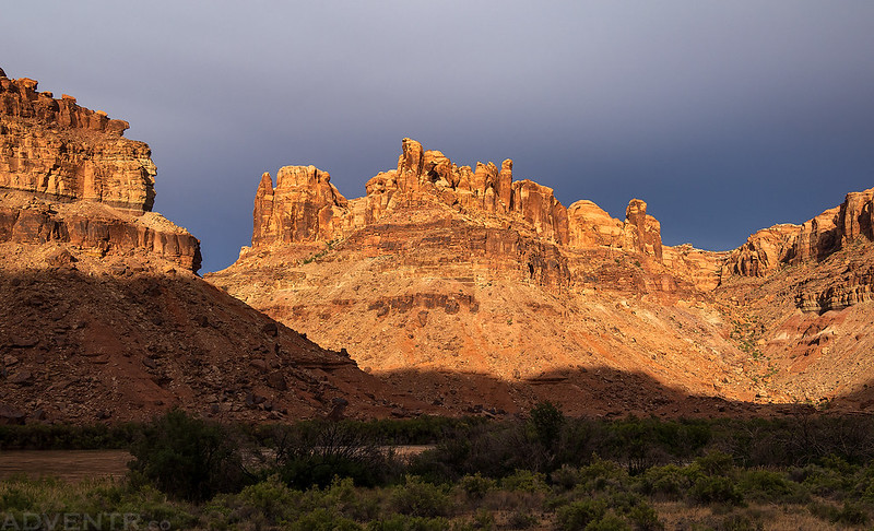
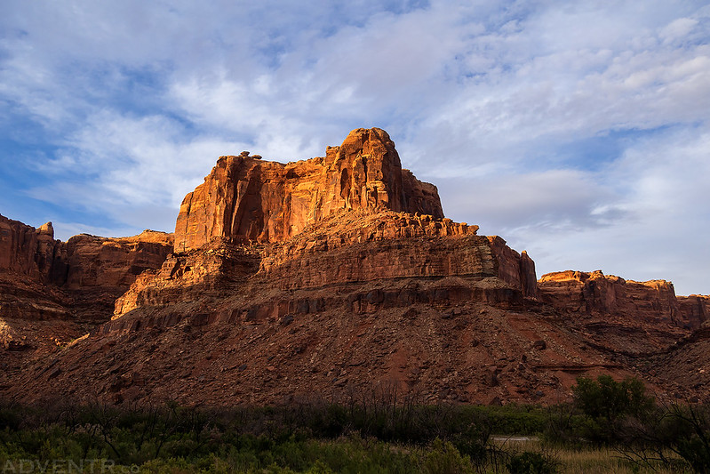
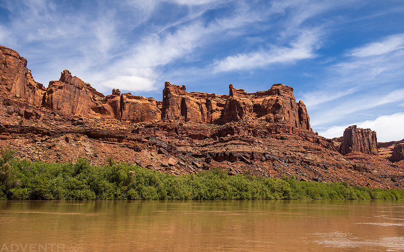
Canyon Spires

Finally, we made it to the other side of the Bowknot Bend Saddle.

We passed the mouth of Twomile Canyon.
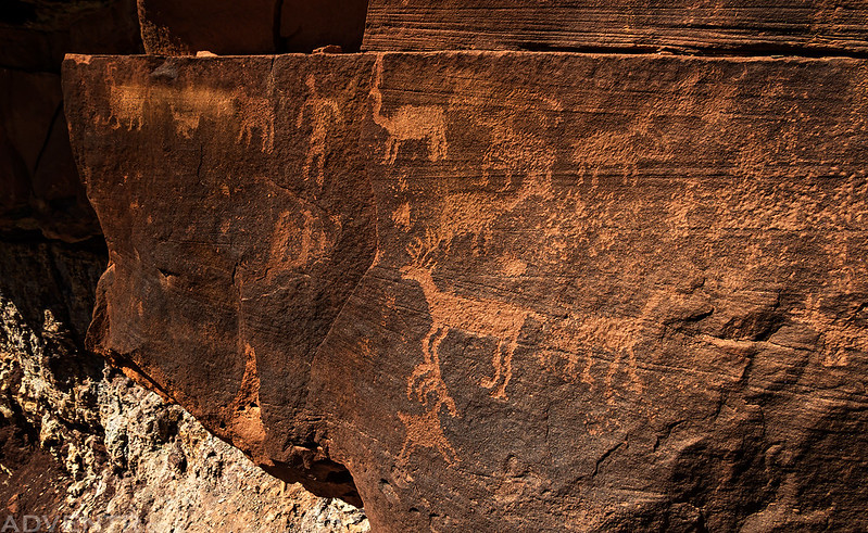
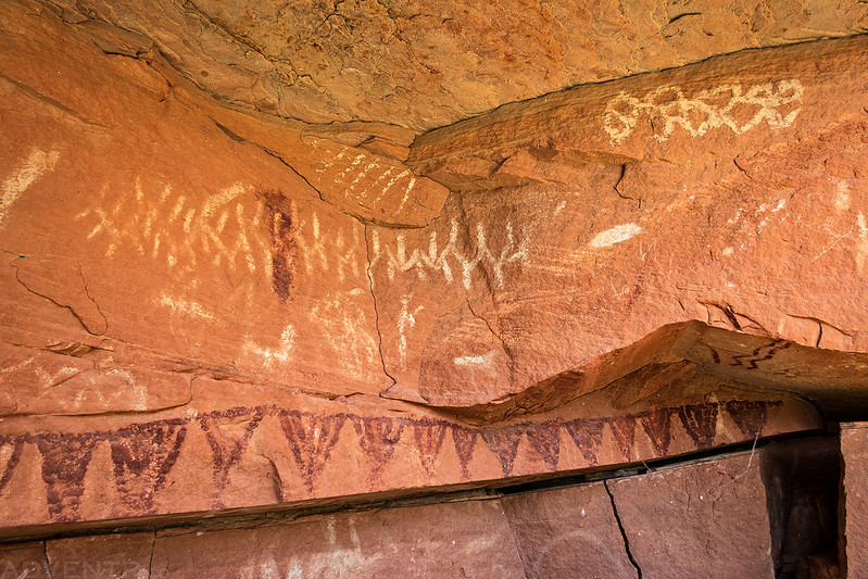
Next, we stopped for our second and final hike of the trip so we could visit some petroglyphs and pictographs.


Looking back to The Frog.

The rest of the float was uneventful as we made our way to the boat ramp at Mineral Bottom.
Surprisingly, the ramp at Mineral Bottom was not very busy and we had no troubles loading up our gear in less than an hour for the drive back home. Thankfully, both our vehicles were parked at the end and I didn’t notice any issues with my Jeep, so that was good! In the end we had a pretty nice relaxing trip through Labyrinth Canyon, but I don’t think I’ll be returning in the spring again since I much prefer the late summer!