Press "Enter" to skip to content

Tag: wildlife

Jackass Pass: Beaver Basin to Dry Peak

La Sal Mountains | Saturday, July 4, 2026

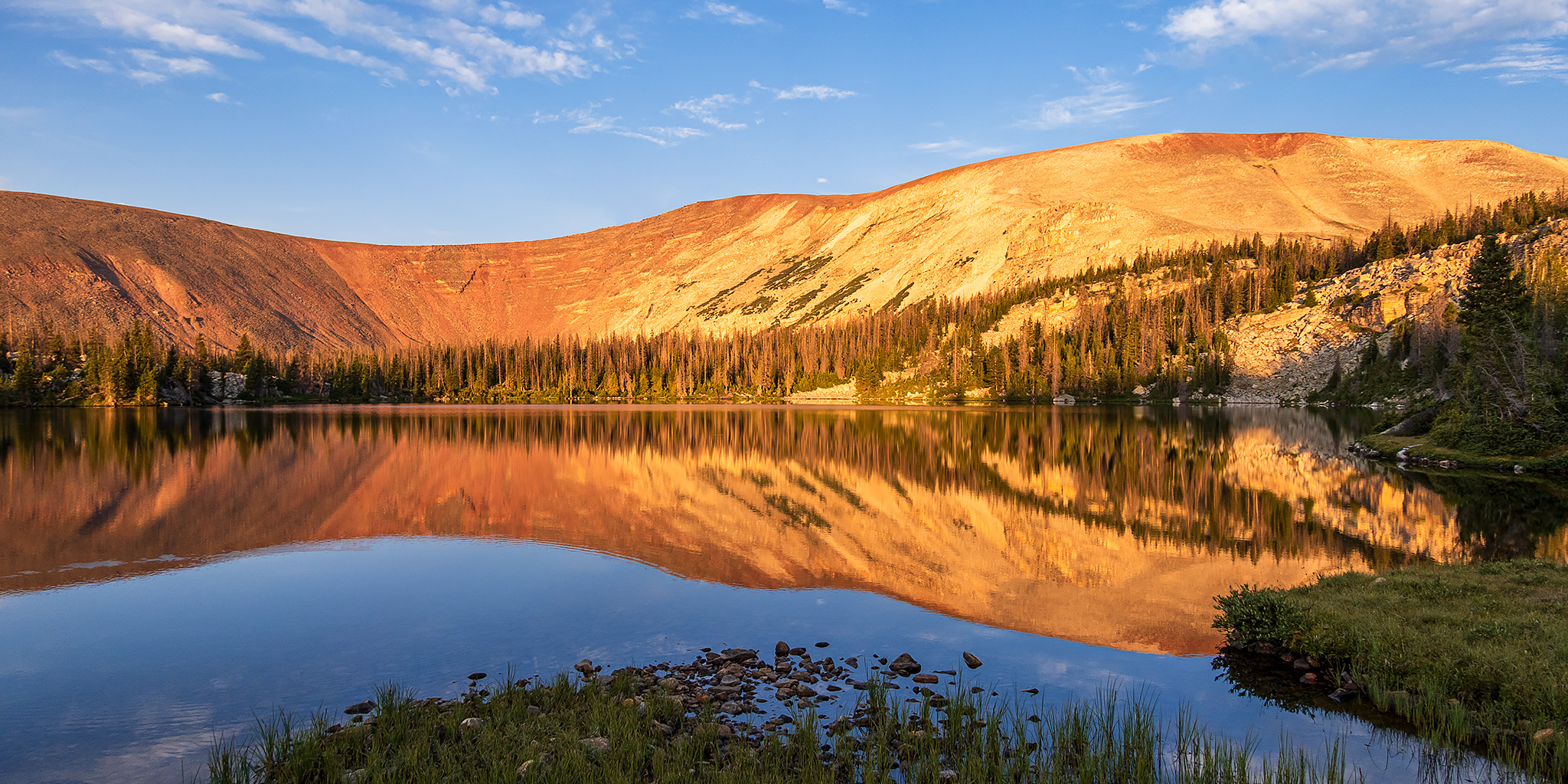
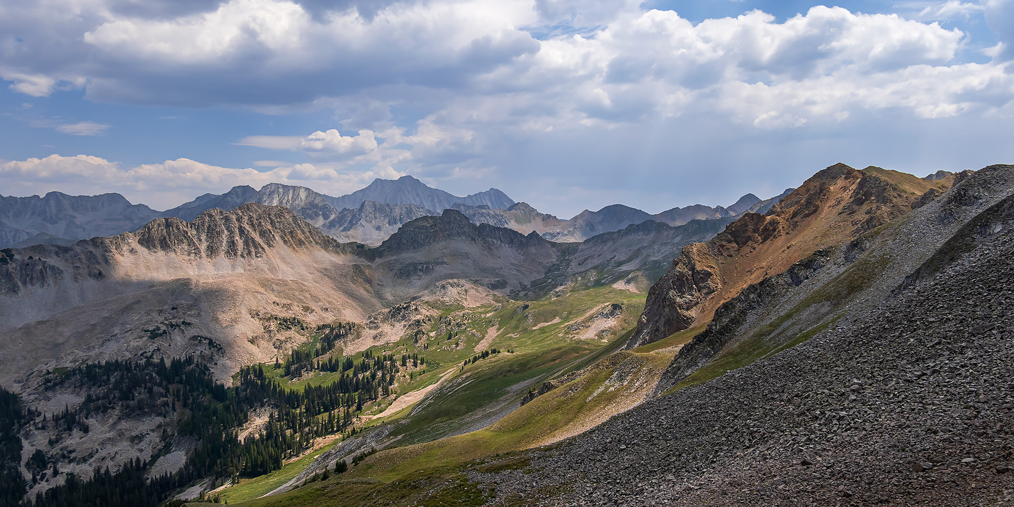
After spending Friday morning hiking around Cleveland Gulch in the San Juan Triangle, I returned home later in the afternoon and got a really good night of sleep and then had a nice relaxing morning on Saturday. I was well rested and feeling like I should go on a short day trip up into the La Sal Mountains since I hadn’t been back to that range in over two years and really wanted to get up there again this summer. After checking the smoke forecast earlier in the morning it looked like the smoke was supposed to mostly clear out in the afternoon, so I left home after noon and made my way through Unaweep Canyon to Gateway and then followed the backroads up into Beaver Basin to start the short hike that I had in mind. I had actually planned to hike from Beaver Basin with Jackson and his family in June of last year, but ended up having issues with my Jeep when we arrived and decided it would be best to turn around and head home before we could begin, so I was happy to finally return!

Leave a Comment

Cleveland Gulch: Cinnamon Pass to Schafer Basin

Mountains of Minerals | Thursday – Friday, July 2-3, 2026

This week I had Friday off from work for the Independence Day holiday and planned to spend it in the San Juan Triangle hiking around Cleveland Gulch from Cinnamon Pass to the ridge above Schafer Basin. Although there are quite a few large wildfires burning in Colorado, Utah and Arizona right now, this particular area was being spared from most of the smoke and seemed like a good place to go. I left from work on Thursday afternoon and initially thought I was going to have to drive the long way around to Lake City since Highway 550 had been closed earlier in the week due to the Gold Mountain Fire near Ouray, but luckily it had just been reopened on Wednesday afternoon. When I stopped to top off my gas tank in Montrose I double-checked COtrip one last time to make sure that Highway 550 was actually still open, and it was, so I carried on driving towards Ouray. Of course it figures, by the time I made it past Ridgway the road had been closed again! Thankfully, this time traffic was just being rerouted on County Road 23 instead of having to go the long way around, so it only slowed me down a little.

Leave a Comment

The Flat Tops: Trappers Lake to Big Marvine Peak

Flat Tops Wilderness | Friday – Saturday, June 19-20, 2026

This year for the Juneteenth holiday Jackson and I headed up into the Flat Tops Wilderness for a quick overnight backpacking trip so I could finally hike to the summit of Big Marvine Peak, which is something I’ve wanted to do since the first time I laid eyes on that peak jutting out from the top of the plateau from a distance. I had actually planned to hike to Big Marvine Peak with Diane when we backpacked to the Marvine Lakes about three years ago, but things didn’t quite go as planned on that trip and we ended up just staying in the Marvine Creek drainage, so I was looking forward to trying again, but this time coming from the opposite direction. We left home early on Friday morning and made our way to Meeker, then followed the Flat Tops Trail along the White River to the Wall Lake Trailhead located just above Trappers Lake, where we began our hike.

1 Comment

La Plata Mountains and the Jersey Jim Fire Lookout

Overlooking the Four Corners | Friday – Sunday, June 12-14, 2026

A few weeks ago I was able to reserve a night at the Jersey Jim Fire Lookout Tower when the reservation system was moved over to Recreation.gov without very much notice. Diane was not able to come with me on my previous visit to the Fire Tower and I have wanted to take her back ever since, so we planned an extended weekend in the La Plata Mountains around this stay. It’s kind of hard to believe that it has been almost six years since my last visit to the La Platas, so I was definitely overdue for a return! We left home early on Friday morning and took the San Juan Skyway over Lizard Head Pass to Rico and then followed the Dolores River to Hillside Drive which we turned up and followed to the end. From the end of the road we hiked up the Hillside Connector Trail and Grindstone Trail until we reached the Highline Trail, which is part of The Colorado Trail, and then followed it across the top of Indian Trail Ridge.

2 Comments

The Gunnison River: Tongue Creek to Crane Landing

Saturday, May 30, 2026 | Average CFS: 695

This morning Jackson and I headed over to Delta so we could float the last remaining section of the Gunnison River below the Black Canyon that I had not been on yet. Although Jackson and Chris had actually floated this short section of the river a few years ago, I was unavailable the day they went and have been trying to get back ever since. While I really only needed to float the section from the Highway 65 Bridge to Confluence Park, Delta County constructed a new boat ramp a few miles further downstream just a couple of years ago and we thought it would be a good idea to extend the trip a little bit and take out there. Since this would be a pretty short and easy day trip, we decided to skip the inflatable kayaks and just bring our packrafts to make things a little easier. I met up with Jackson and his son Ken at the Crane Landing Boat Ramp by 9:00am and then we took Jackson’s car up to the put-in just below the Highway 65 Bridge.

Leave a Comment