Friday – Sunday, September 10-12, 2021
This weekend was going to be the last opportunity for me to hike a 14er this summer, and since I have climbed at least one 14er each summer since 2010 I was originally planning to. However, as I started figuring out my weekend plans I just wasn’t feeling like hiking on a busy trail and was looking for a little more solitude, so I decided to skip the 14ers this year and headed to the southern Sawatch Range to hike a few peaks along the Continental Divide instead. I left from work on Friday afternoon and headed to Gunnison, taking the route through Hotchkiss and Crawford since Highway 50 is still closed until 5:30pm on weekdays and I wasn’t sure how quickly I would get to that point. I topped off my fuel tank in Gunnison and then made my way over to Pitkin and started up the road to Hancock Pass. Unfortunately, the road near the top of the pass was much rougher than I remember it being and I wasn’t comfortable driving a section of it in the dark, so I returned all the way back to Highway 50 and drove over Monarch Pass to the Middle Fork of the South Arkansas River and found a place to spend the night shortly before the end of that road. It was pretty late by the time I arrived, so I went right to bed.
Chalk Creek Pass Peaks: Monumental Peak & Van Wit
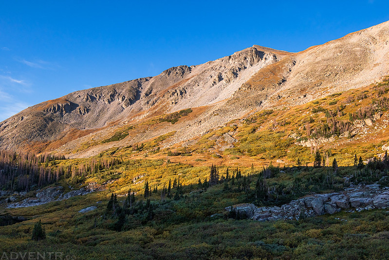
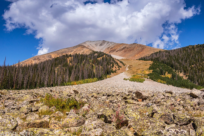
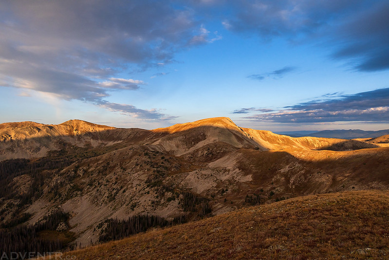
I woke up shortly before sunrise on Saturday morning, drove to the end of the road and then started hiking up the Hancock Lake Trail to Chalk Creek Pass, which is part of the Continental Divide Trail and the Colorado Trail. My goal for today was to climb Monumental Peak (13,369) which sits along the Continental Divide. I had noticed this prominent peak last summer when Diane and I visited the Fairview Peak Fire Lookout, and I wanted to try to get there this year.
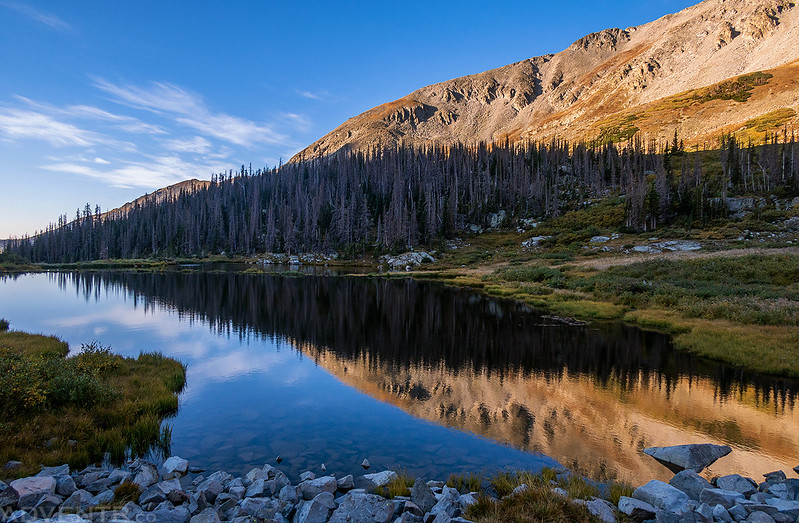
Before the Hancock Lake Trail started climbing up to the pass, it followed the shore of this tarn, so I stopped for a couple of photos.
Monumental Peak Reflection

Looking across the surface of the water to Mount Ouray.

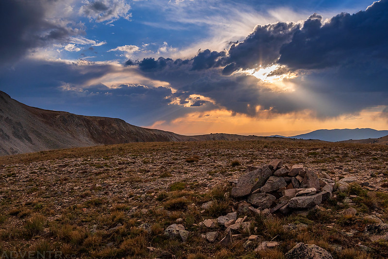
There was a bit of smoke in the air this morning…
Monumental Peak
Middle Fork of the South Arkansas River
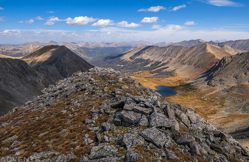
When I reached Chalk Creek Pass I had a view over the other side to Hancock Lake and could see that fall colors were already starting to appear.

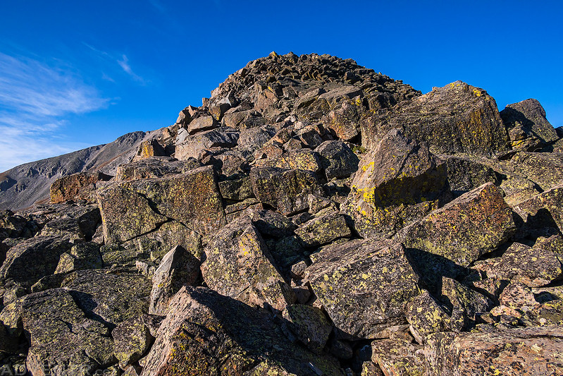
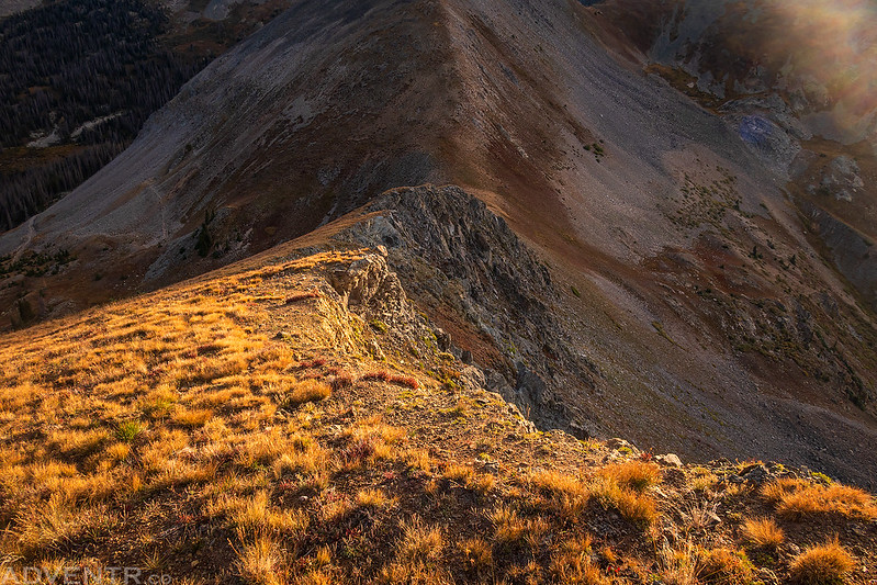
From the pass I started climbing up the rocky ridge. A lot of the talus was loose, so it was slow going.
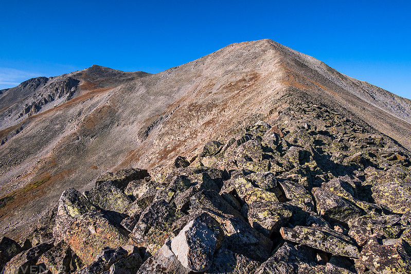
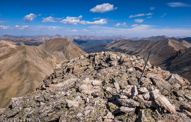
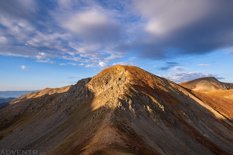
I followed the rocky ridge to the summit of Van Wit (13,254).
Looking back down the ridge to Chalk Creek Pass.

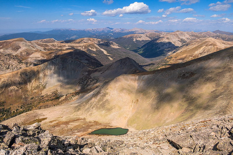
I followed the ridge over Van Wit and then across the saddle to the summit of Monumental Peak where I had a smoky view over to Tomichi Dome.

Following the Continental Divide back down from Monumental Peak and over Van Wit again.

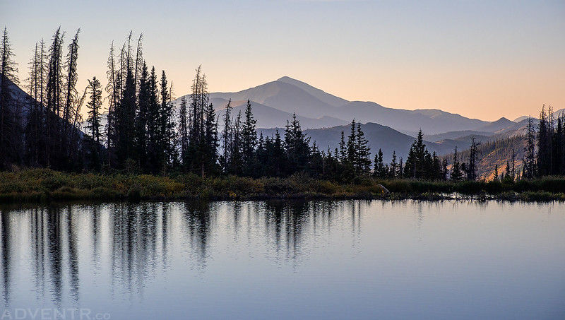
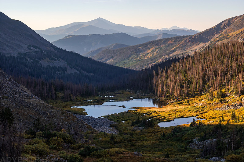
On my way back I noticed this small tarn below and could see the peaks near Tomichi Pass that I planned to climb on Sunday morning.
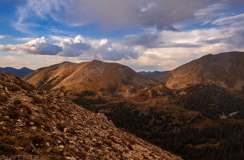
Soon I was back on the summit of Van Wit for a second time this morning. I was hoping to climb Van Wirt Mountain (13,024) next, but I was feeling a bit sluggish and decided it would be best to head back down. I guess it’s a good thing I didn’t attempt a 14er today…
The clouds and light were a little bit nicer during the descent, so I took a bunch of photos.
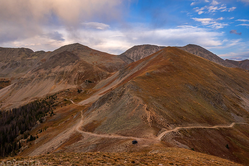
Headed back down the ridge to Chalk Creek Pass.

Upper Chalk Creek and the Hancock Lakes

Van Wirt Mountain & Hancock Peak

Almost back to the pass…

…and back to the trail at the top of the pass.
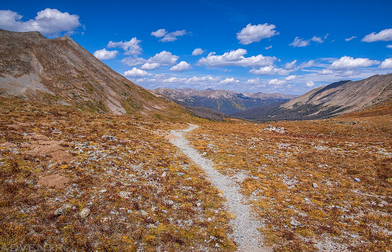
Following the trail down into the Middle Fork of the South Arkansas River.

Hancock Lake Trail

Continental Divide Trail & Colorado Trail Markers

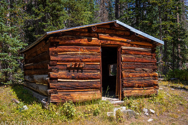
After returning to my Jeep I ate some lunch and then drove back down to the highway. This cabin was along the road.
Looking up The Grand Couloir on the southern face of Mount Aetna from the road below.
Driving back down the Middle Fork Road to the highway, this time in the light.

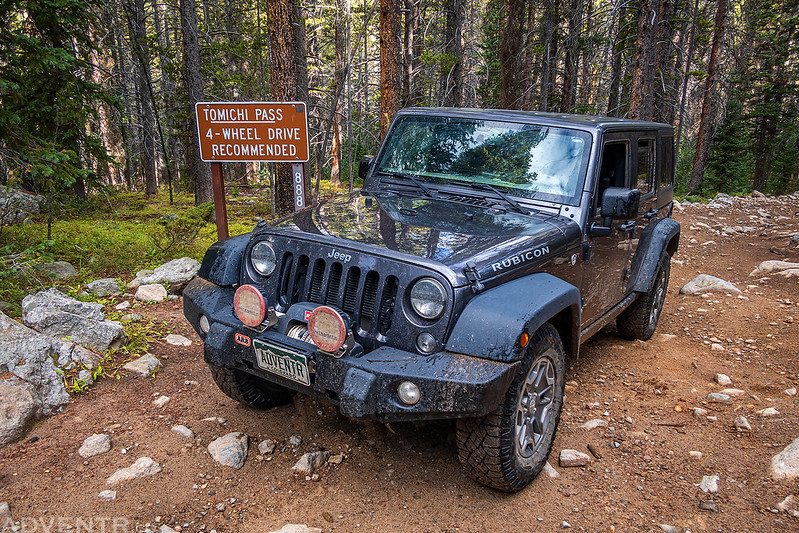
Tomichi Pass Peaks: Paywell Mountain to Brittle Silver Mountain
After returning to the highway I headed over Old Monarch Pass to reach the Tomichi Creek Valley and then followed the rough road up to Tomichi Pass. Although the Tomichi Pass Road was partially closed in 2018 due to a rockfall, my understanding was that the road was open all the way to the pass from the south side. That info was correct and I made it to the pass with no issues.
After resting for a bit I was hoping to climb Paywell Mountain this evening, but before I could start some stormy weather moved into the area, so I got to watch a show from the comfort of my Jeep for a while.
Graupel started coming down pretty hard for a while, and a rainbow began to appear.

Graupel Storm

Rainbow & Graupel

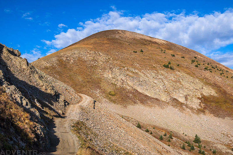
Once the storm passed I still had some time to hike to the summit of Paywell Mountain on the west side of the pass. Although there were still some darker clouds around, I hadn’t heard any thunder for a while and it was going to be a pretty short hike.
Paywell Mountain Summit
The light was nice this evening!
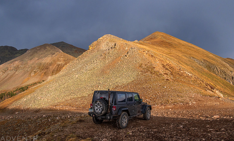
Tomichi Pass and my Jeep below.
During my hike back down to the Jeep it started to lightly rain again. I got back into my Jeep and drove down from the pass to a campsite below. As soon as I arrived at camp the lightning, thunder and rain started up again. I had thought the storm was dissipating, but I guess I was wrong. After reading for a bit I went to bed early so I could get an early start on Sunday.
As usual, I was up before sunrise on Sunday morning and drove back up to the pass. I started hiking up the ridge to the summit of Central Mountain and watched a beautiful sunrise along the way.

I could see Fairview Peak off in the distance.

Mount Helmers looked massive on the other side of Middle Quartz Creek.

A morning view over Middle Quartz Creek.

Looking across the Tomichi Creek basin to Granite Mountain.
Central Mountain Summit

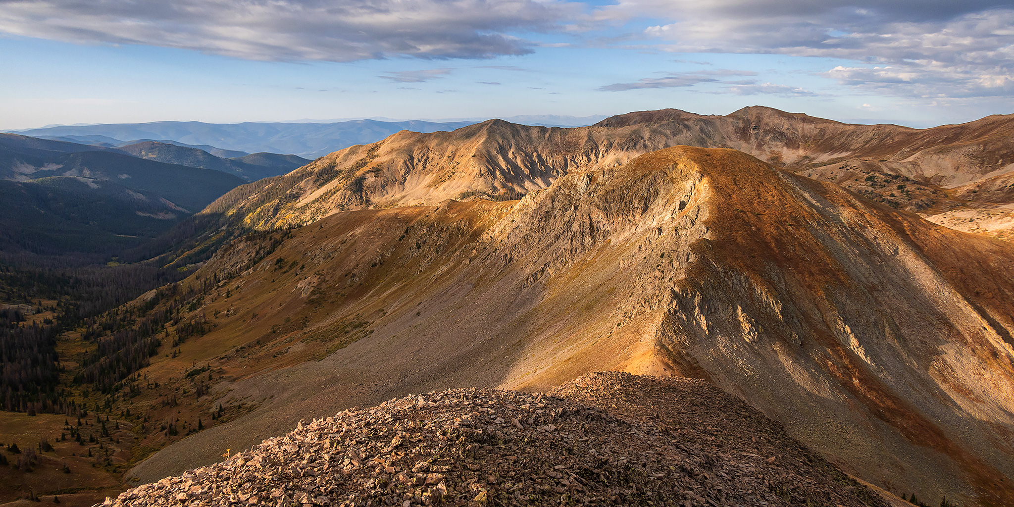
From the summit of Central Mountain I decided to follow the northeast ridge over to Brittle Silver Mountain. I thought it was going to be an easy ridge-walk, and it was, but there was one short steep and loose section of the ridge that I had to descend that was a bit of a scramble.
Central Mountain looked a lot more rugged from this side.

Central Mountain Morning
Brittle Silver Mountain Summit

Looking down the other side to a small tarn in Brittle Silver Basin.

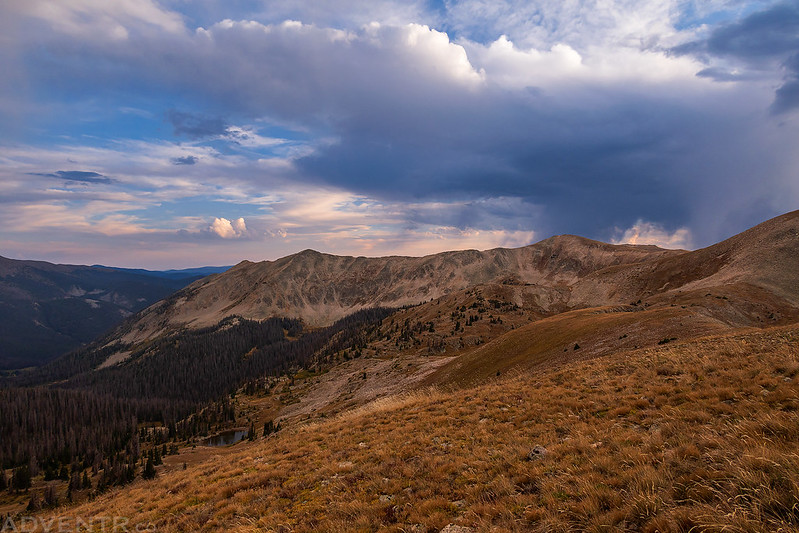
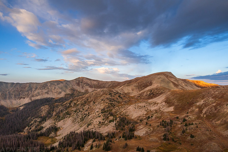
Southern Sawatch Morning

I returned to the saddle between the peaks and followed a game trail and then an old mining track back to the road in Brittle Silver Basin.

Then I followed the road back up to my Jeep at Tomichi Pass.
I drove back down the Tomichi Pass Road and headed home to conclude another nice weekend in the Sawatch Range!