Seneca Lake, Island Lake & Titcomb Basin
Thursday – Monday, August 17-21, 2017
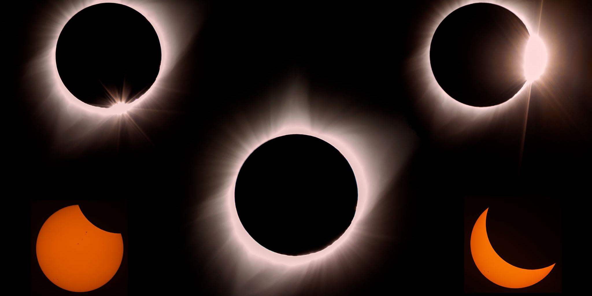
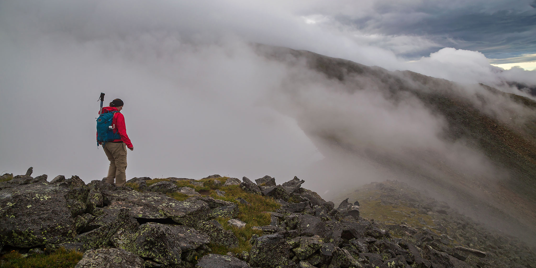
The plans for this particular trip started to come together well over a year ago when I first learned about The Great American Eclipse happening on August 21, 2017. The last total eclipse visible from the United States was before I was born, so I really wanted to make an effort to experience this one. After looking at a map of the path of totality, I saw that this one was going to be visible right over the Wind River Range in Wyoming which is only about a six hour drive from home. While I had briefly visited the Wind Rivers outside of Lander about ten years ago, I’ve wanted to go on a backpacking trip into the Bridger Wilderness for a pretty long time now and figured that this would be the perfect opportunity. Early in the planning stages I set my sights on backpacking into the Island Lake and Titcomb Basin area below Fremont Peak from the Elkhart Park Trailhead near Pinedale. I figured that this popular and beautiful area would be a good introduction to backpacking in the Wind Rivers. As the date of the eclipse got closer and more and more people learned about it from social media, I figured that this area of Wyoming was probably going to be much busier than usual, but I decided against changing our plans and was willing to make that sacrifice for this possible once-in-a-lifetime event.