Canyons of the Escalante | Southern Utah Wanderings in a Sandstone Wilderness
Sunday & Monday, September 29-30, 2019
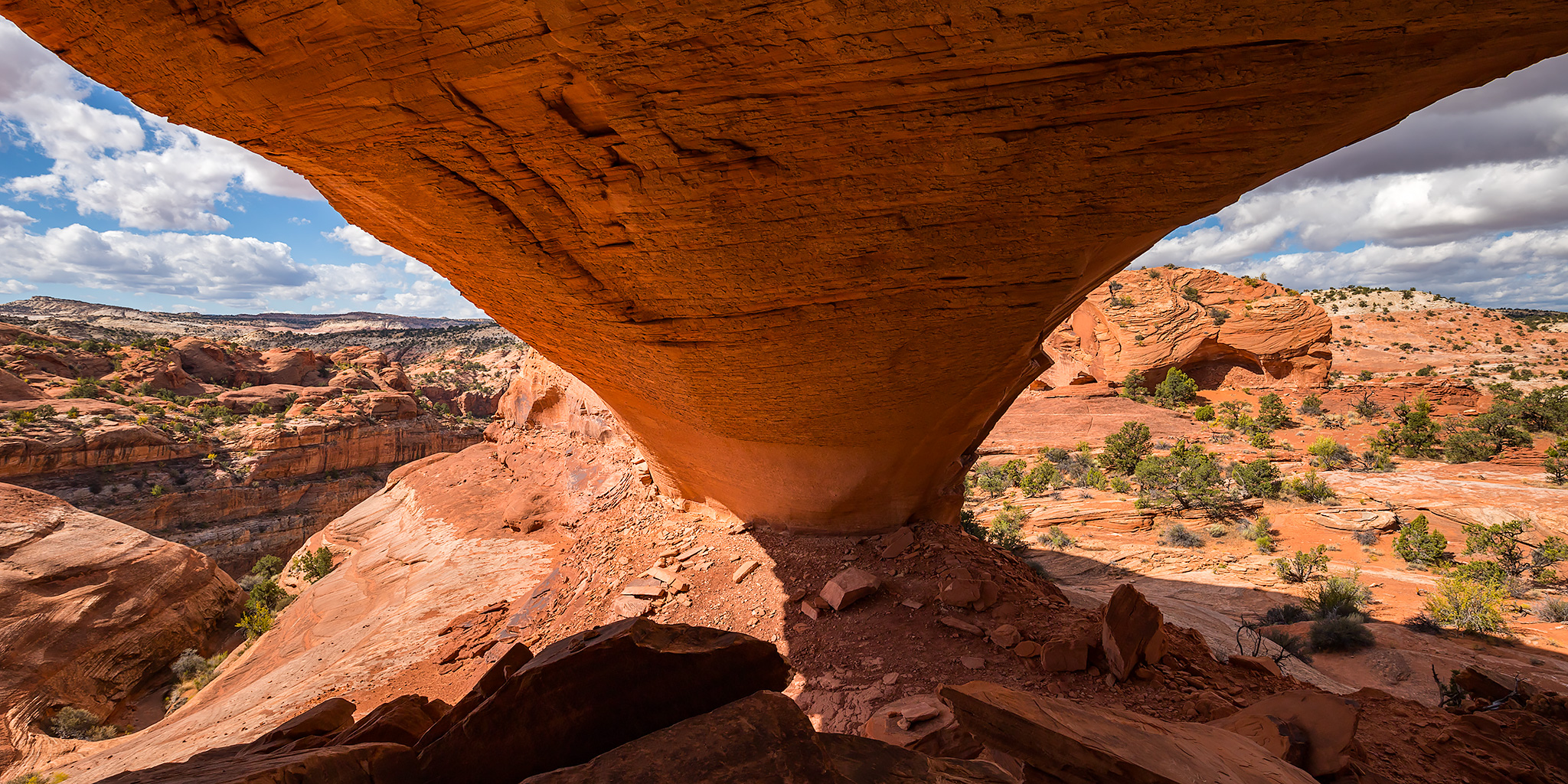
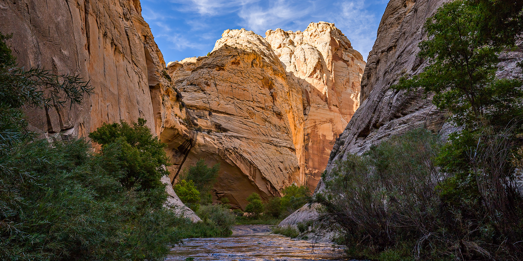
After spending Saturday hiking through Phipps Wash and Deer Canyon, we were ready to begin our overnight backpacking trip through the Escalante River Gorge on Sunday morning. The previous night we had found a campsite on Big Spencer Flats and had done our best to prepare for the high winds and storms that were forecasted overnight. It did stay pretty windy out for much of the night and there was a little on and off rain, but not enough that anything was still wet in the morning. It was still pretty windy out when we got up shortly before sunrise, but there were plenty of nice clouds in the sky and the sunrise was looking good, so we grabbed our cameras and took a few photos around camp.
3 Comments