Trail Canyon to Lake Powell | Friday – Sunday, March 5-7, 2021
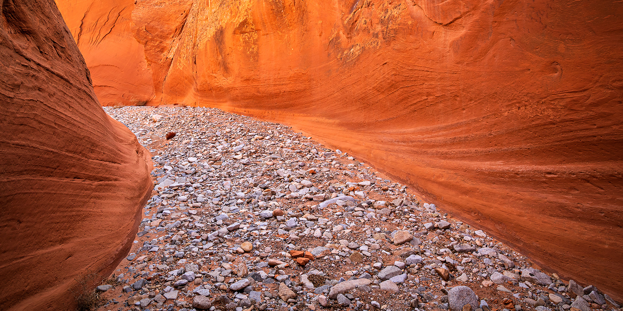
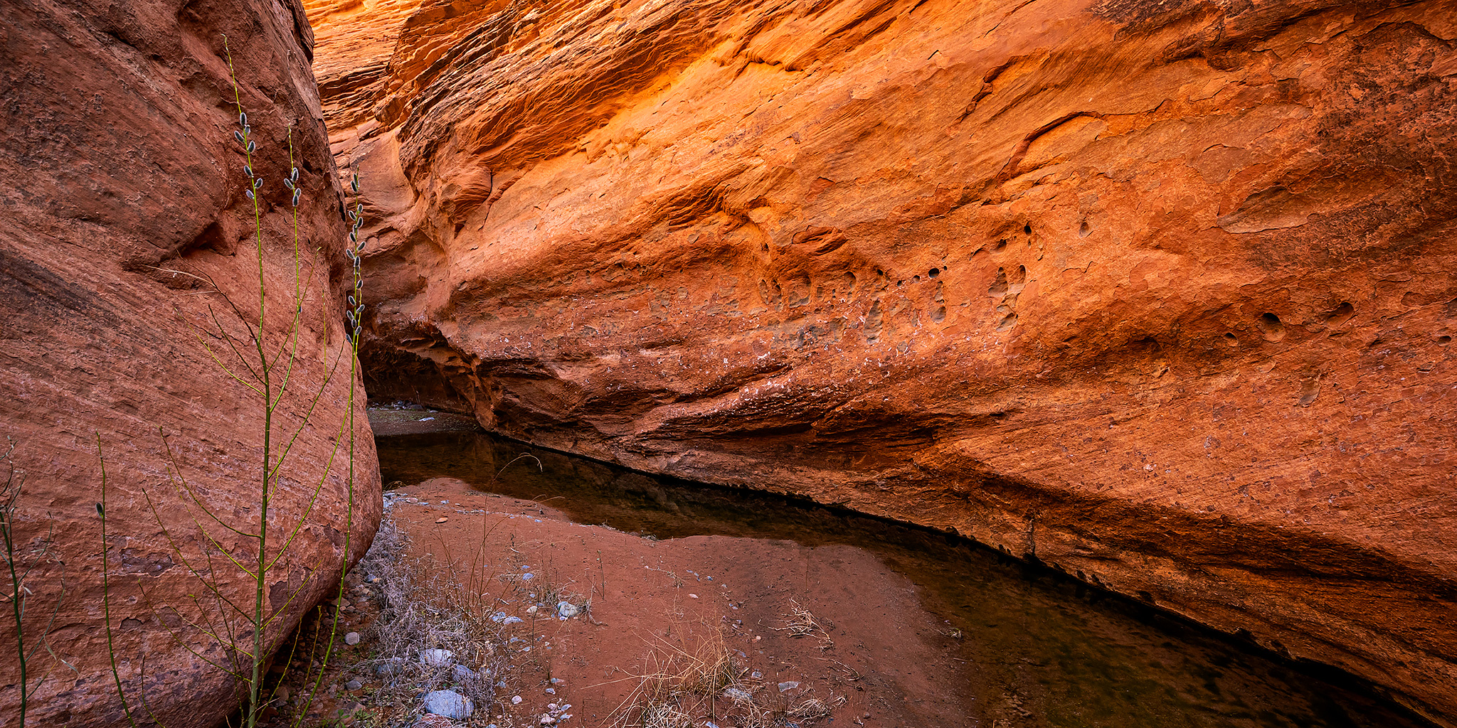
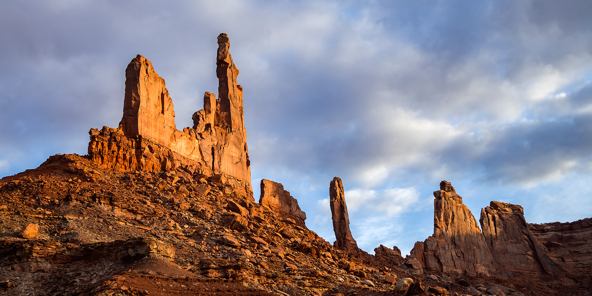
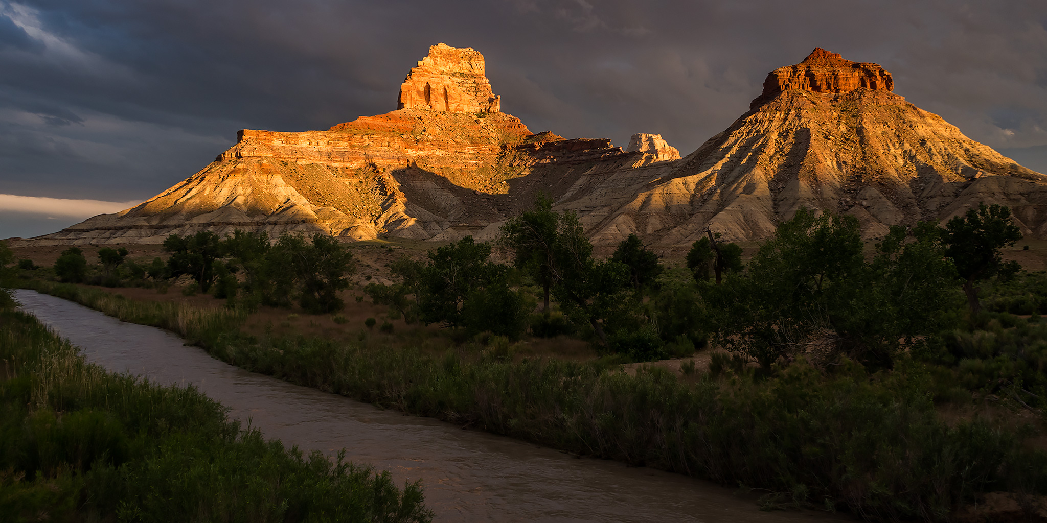
I’ve got a few upcoming backpacking trips planned starting in just a couple of weeks and I thought it would be a good idea to get out on my first backpacking trip of the year so I could get back into the swing of things, especially since I realized that I have not been on a backpacking trip since early October! Last March Diane and I went on an overnight backpacking trip along Trachyte Creek at this time of the year that we enjoyed, so I thought it would be nice to return there again so I could explore a few more of the side canyons in the area. Since Diane wouldn’t be able to join me this time I invited my friend Jackson along. We haven’t gone backpacking together in quite some time, so when I asked him about joining me on this trip he was definitely up for it!
1 Comment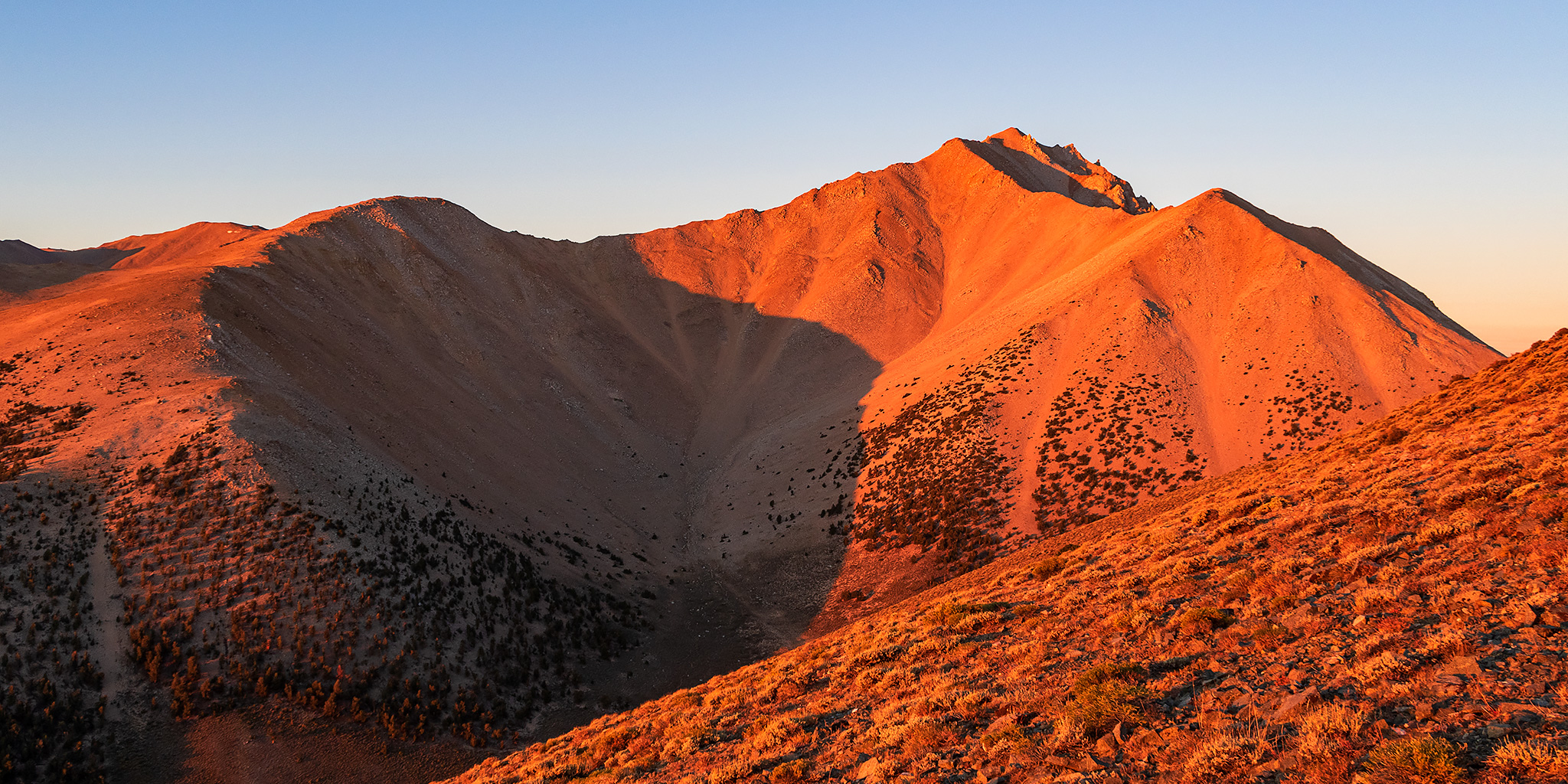