Press "Enter" to skip to content

Tag: pine creek

The High Plateaus of Utah: Proper Edge of the Sky

The Plateau Provence: Peaks & Plateaus of the Colorado Plateau
Wednesday – Friday, August 30 – September 1, 2023

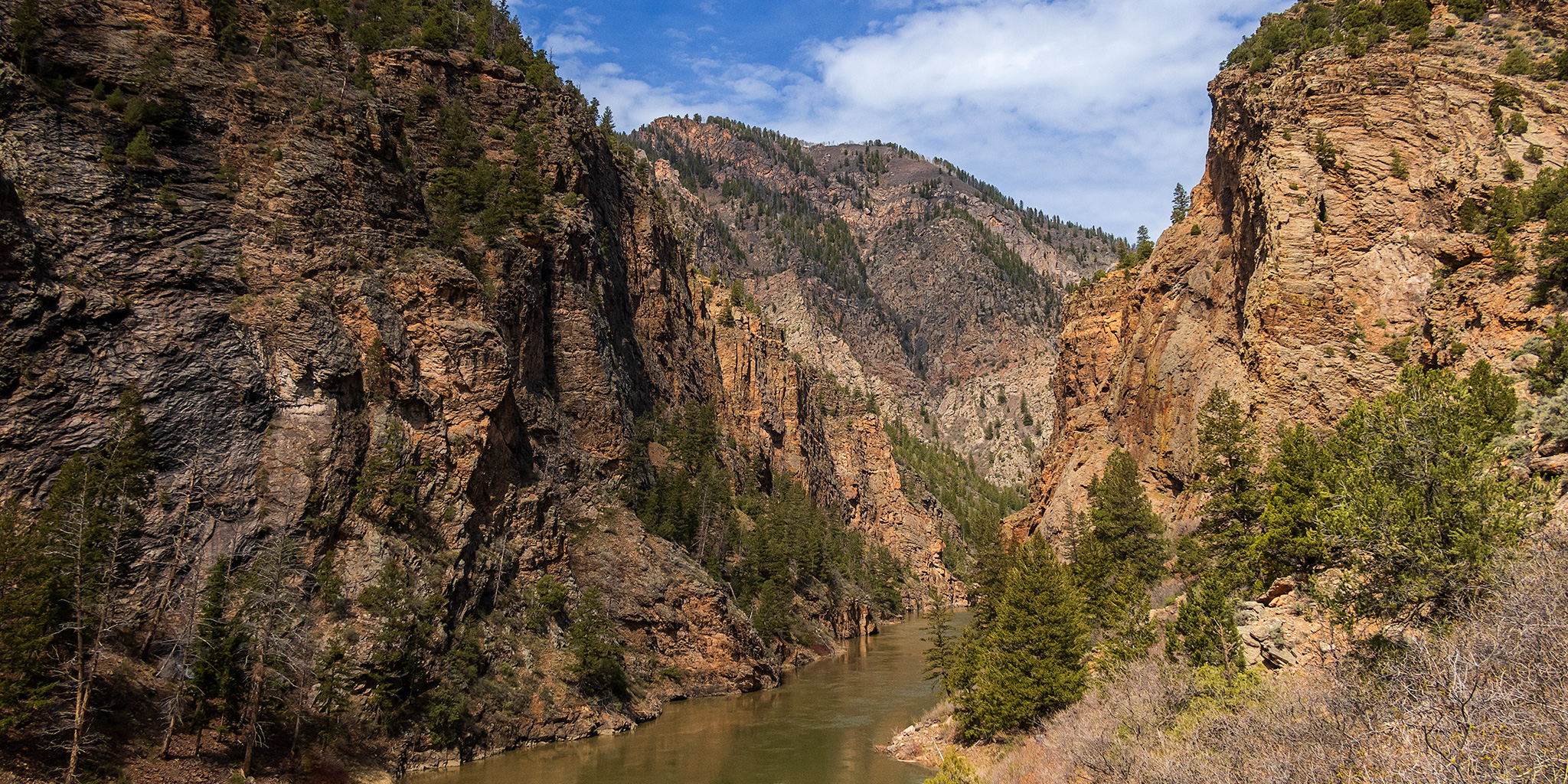
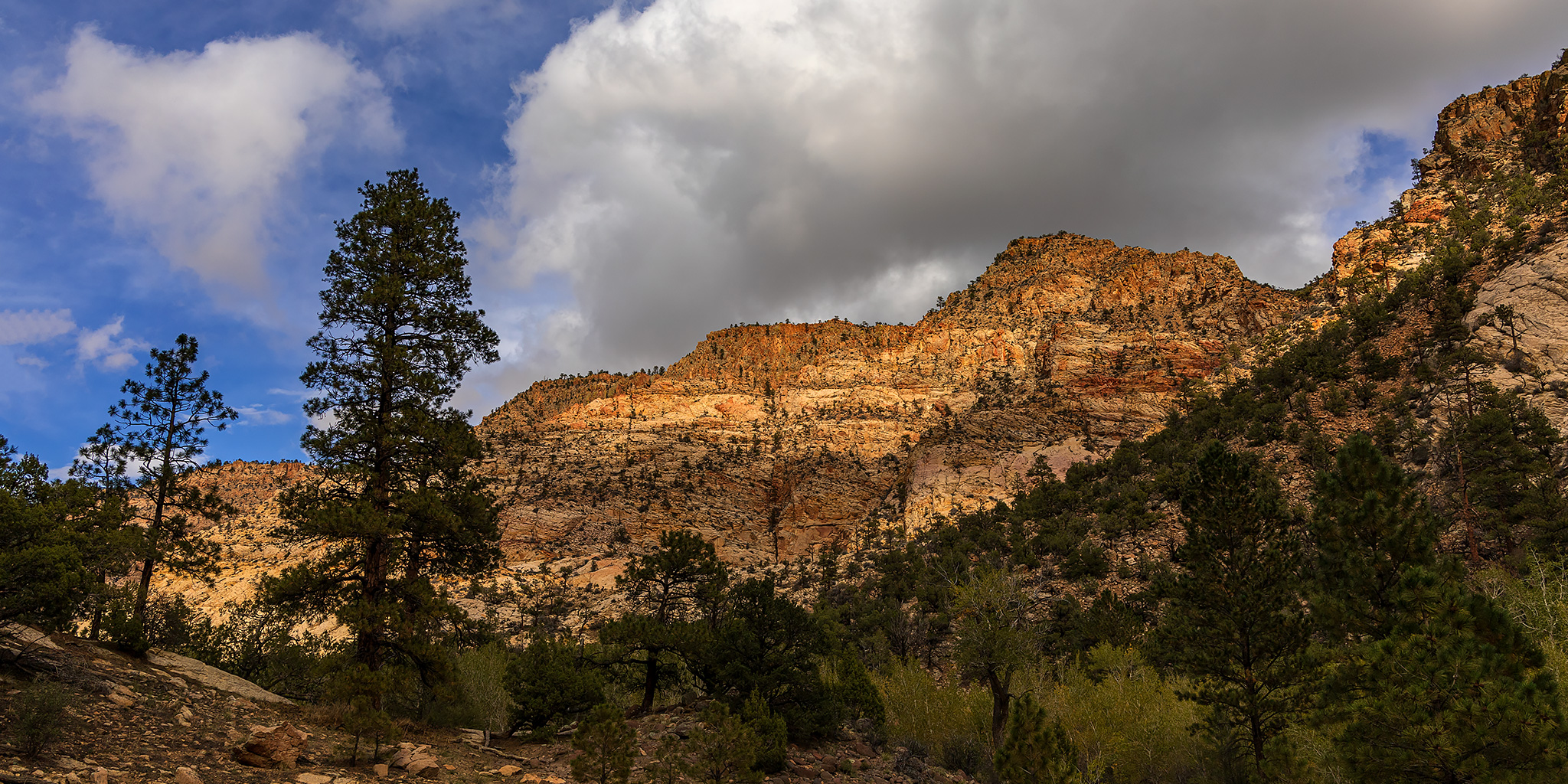
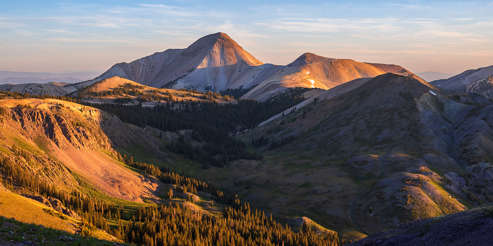
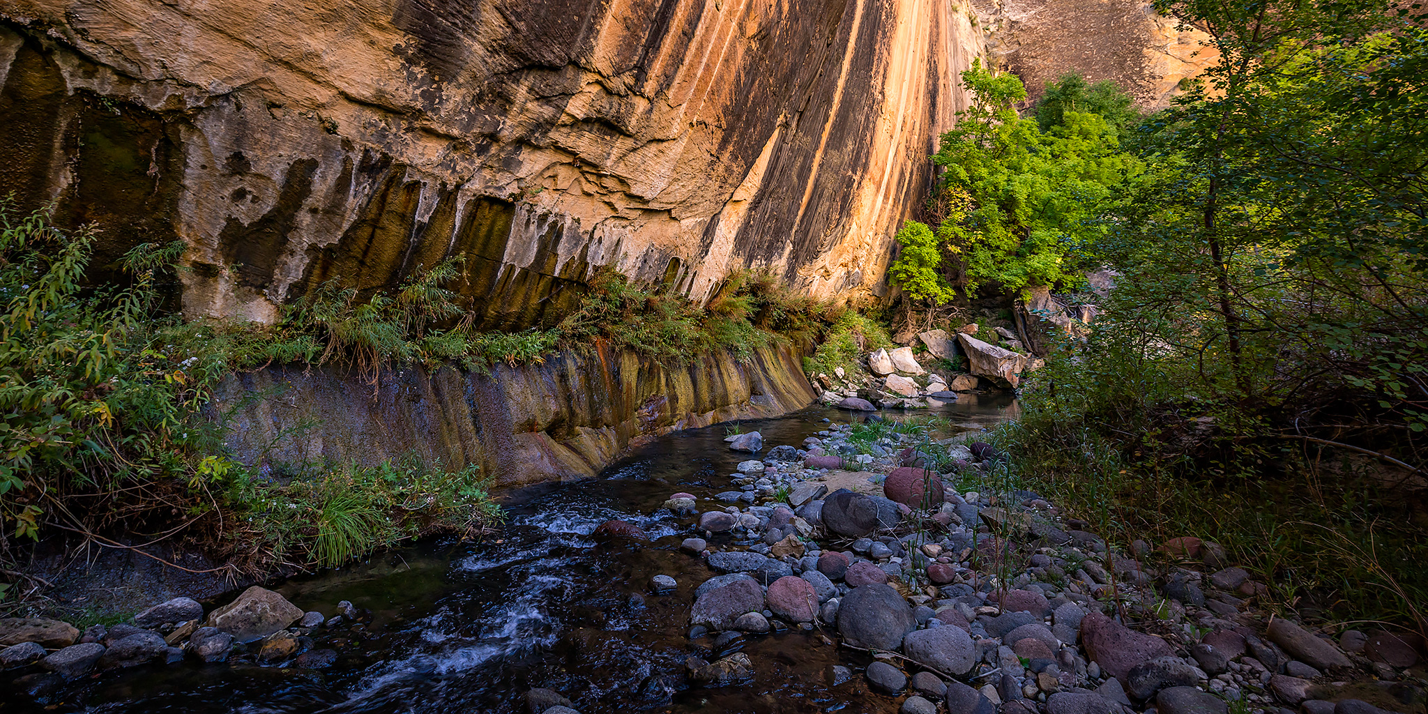
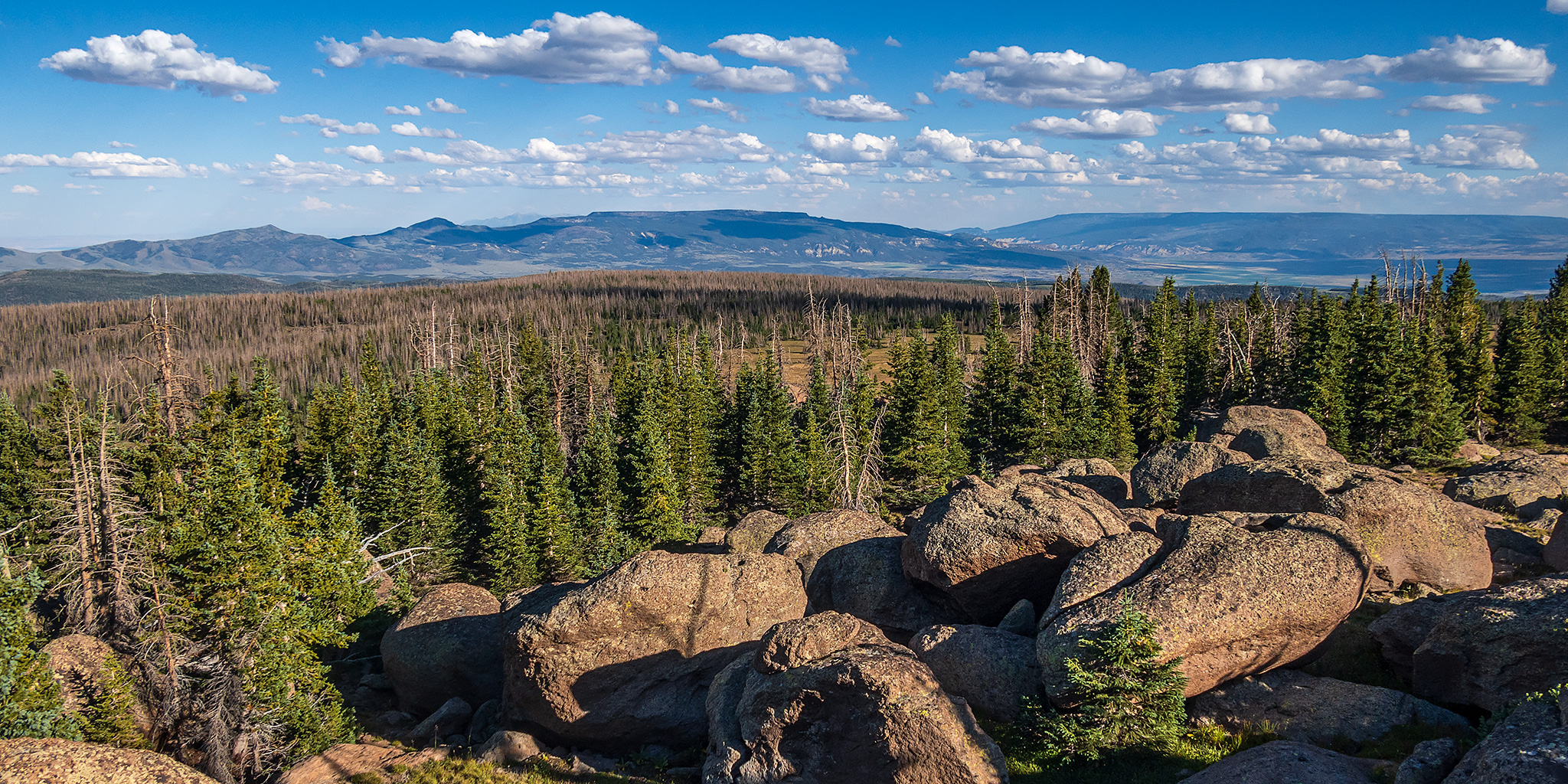
The High Plateaus of Utah are a group of elevated tablelands that form the boundary between the Colorado Plateau and the Great Basin in Central Utah and are what Wallace Stegner once described as “those remarkable mountains that are not mountains at all but greatly elevated rolling plains.” Although I have driven around and between the High Plateaus many times over the years, I have not spent very much time up on top of any of them and I wanted to change that this summer so I could see what they were all about. And what better way is there to get to know a new place than by driving the backroads and visiting the highpoints along the way! I figured that I would start at the northern end of the Wasatch Plateau and then work my way south, looping back around to finish up on Thousand Lake Mountain, where I could hop back on I-70 and head back home after a nice introduction to the area. That was the plan, and I thought it was a pretty good one, but as you will see, “the best laid plans of mice and men often go awry.”

3 Comments

Curecanti Trails in the Black Canyon of the Gunnison

Curecanti National Recreation Area | Saturday, May 13, 2023

After spending last weekend on the Yampa River, Jackson and I had already planned another river trip for this Sunday on the Colorado River near home, so today I wanted to find something a little more local to do. While looking over my maps trying to decide where to go, I eventually settled on hiking a couple of shorter trails in the Curecanti National Recreation Area (NRA) that are all located within the upper end of the Black Canyon of the Gunnison. Aside from an overnight backpacking trip down the Hermits Rest Trail a couple years ago, I have done no other hiking in the NRA even though I drive through it frequently in the summer. There are really only a handful of trails in Curecanti, so I thought this would be a good opportunity to start hiking them all.

Leave a Comment

Canyons of the Escalante: The Box of Pine Creek

Southern Utah Wanderings | Monday, October 3, 2022

After staying up too late on Sunday evening for a concert that was delayed and cut short, I woke up early on Monday and made my way over to Escalante where I met up with Jared later in the morning. There was a very nice and colorful sunrise as I drove across the San Rafael Desert, but I didn’t stop for any photos this time. After getting gas in town we decided to start the week off with a warm-up hike through The Box this afternoon, so we dropped off my Jeep at the lower trailhead and then took Jared’s Jeep to the upper trailhead on the shoulder of Boulder Mountain where we started the 1,500 foot descent along Pine Creek.

Leave a Comment

Delano Peak: Top of the Tushar Mountains

Friday & Saturday, July 8-9, 2022

This weekend I was going to be travelling all the way to San Diego to spend the following week at the ESRI User Conference for work, and figured this would be a great opportunity for me to hike some peaks along the way if I drove instead of flying, so that’s what I made plans to do. I left from work on Friday afternoon and started my long drive west into Utah, though I wouldn’t be going too far this first day. It was very windy out this afternoon which killed my fuel mileage and I just barely made it to Richfield to fill up my gas tank and get some dinner. My first stop along the way was going to be the Tushar Mountains, which I have driven around numerous times before, but never actually been into, so I was looking forward to checking them out for the first time. I figured a good introduction to the range would be to climb Delano Peak, which is the highest peak in the range at 12,169 feet and is also the Highpoint for Beaver & Piute Counties.

Leave a Comment

The Boulder Mail Trail

Canyons of the Escalante | Southern Utah Wanderings in a Sandstone Wilderness
Tuesday, October 1, 2019

The Old Boulder Mail Trail is a 15 mile trail that was originally established in 1902 as a mail route that linked the isolated towns of Escalante and Boulder Town and was traversed by pack mules twice-weekly to carry mail, medicine and occasional travelers. In 1911 a telephone line was strung between trees, rocks and poles along the route by the Forest Service to connect the ranger stations in both towns. The ranger in Boulder even let the townspeople tie in with their own lines. Some of the glass insulators can still be seen in the treetops along the trail today. The line was used until 1955 when a microwave system replaced it. When Utah Highway 12 was completed in 1940 the Boulder Mail Trail fell into disuse.

Leave a Comment