Friday & Saturday, July 8-9, 2022
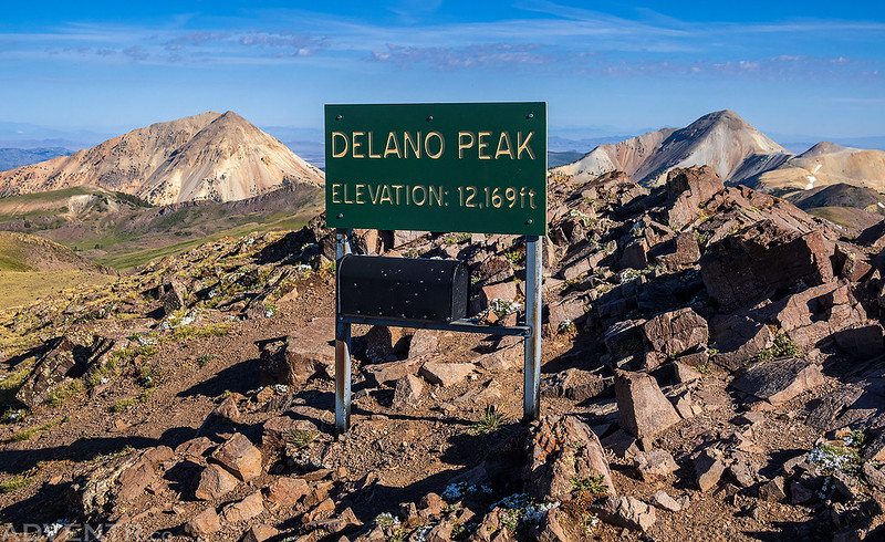
This weekend I was going to be travelling all the way to San Diego to spend the following week at the ESRI User Conference for work, and figured this would be a great opportunity for me to hike some peaks along the way if I drove instead of flying, so that’s what I made plans to do. I left from work on Friday afternoon and started my long drive west into Utah, though I wouldn’t be going too far this first day. It was very windy out this afternoon which killed my fuel mileage and I just barely made it to Richfield to fill up my gas tank and get some dinner. My first stop along the way was going to be the Tushar Mountains, which I have driven around numerous times before, but never actually been into, so I was looking forward to checking them out for the first time. I figured a good introduction to the range would be to climb Delano Peak, which is the highest peak in the range at 12,169 feet and is also the Highpoint for Beaver & Piute Counties.
From Richfield I headed south through the Sevier Canyon to Marysvale and then west up Beaver Creek into the Tushar Mountains on a very dusty road. Although the Forest Service website said the road was open all the way, I encountered a ‘Road Closed’ sign at the bottom of the canyon which worried me a bit, but thankfully it turned out to be open all the way- otherwise I would have had a long detour to the other side of the mountains.
Following the dusty road above Beaver Creek into the Tushar Mountains.

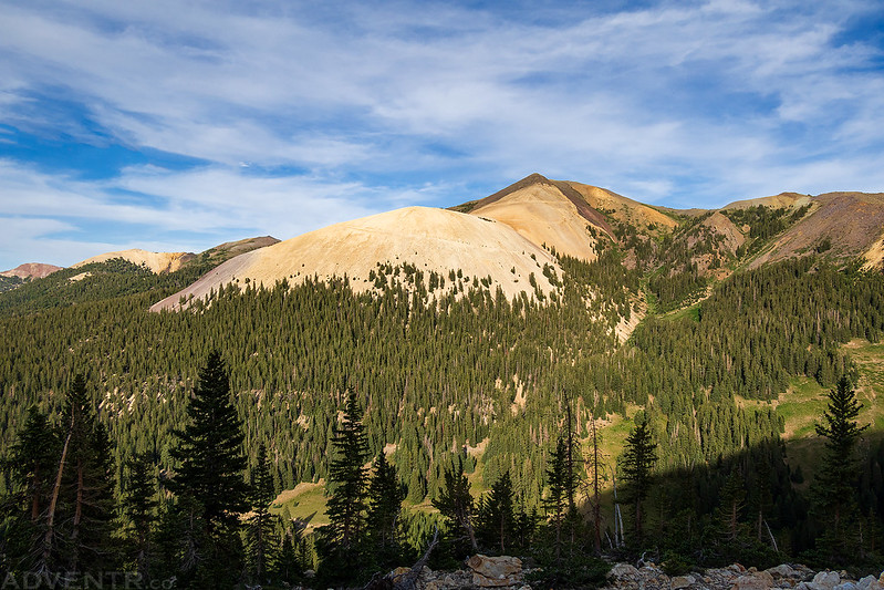
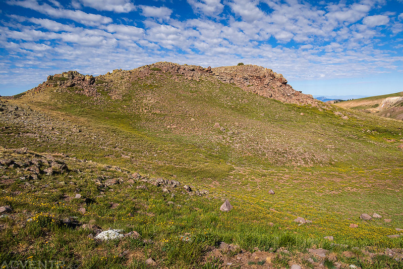
Copper Belt Peak
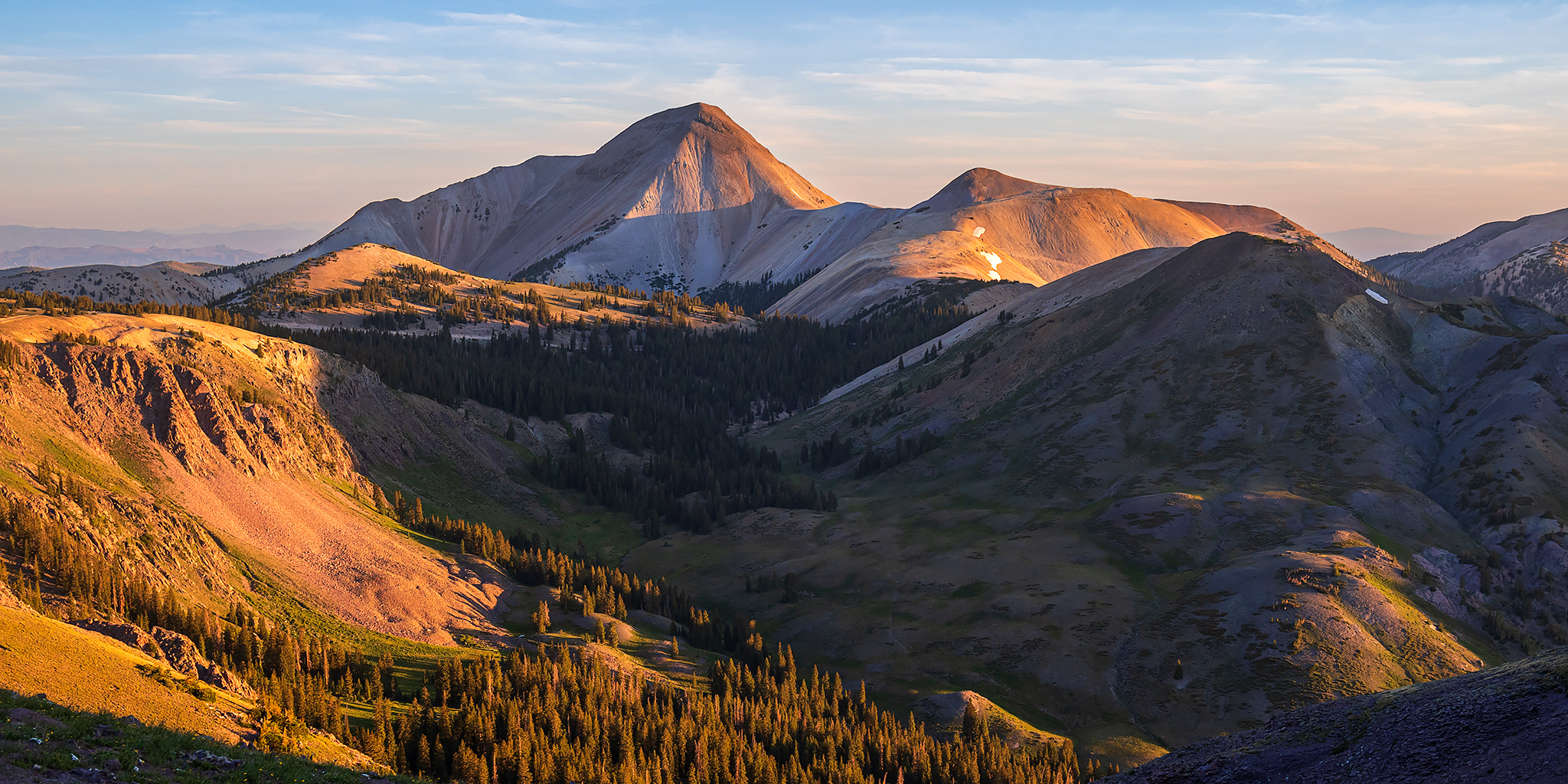
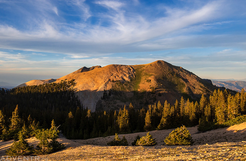
This was my first view of Delano Peak after driving across Bullion Pasture.
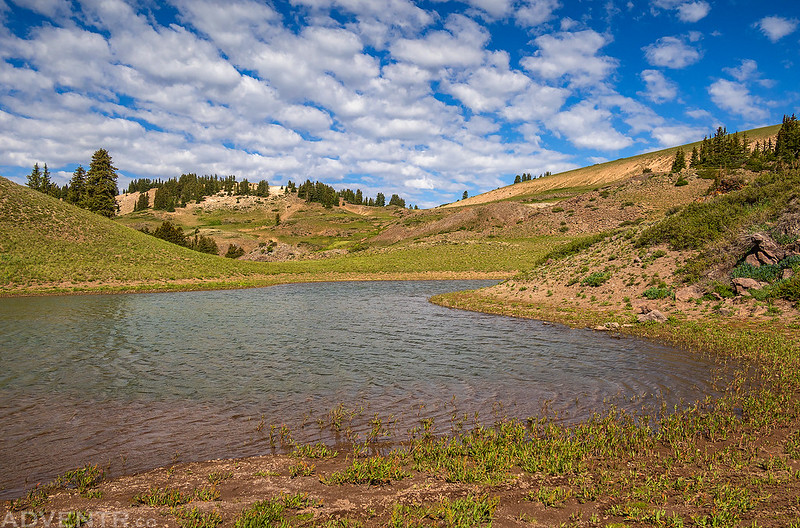
Looking down over Mud Lake as I explored the area and kept an eye out for a good campsite.

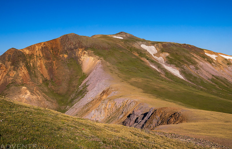
Looking up to Delano Peak as I drove down towards Big John Flat.

Shortly before sunset I returned to a highpoint along the road and went for a short walk along the rocky ridge above Mud Lake.

It was a beautiful evening in the Tushar Mountains!

To the north I could see a large smoke plume from the Halfway Hill Fire near Fillmore that had started earlier in the day and exploded in size quickly!

After the sun was down I returned to a campsite in Bullion Pasture and tried to get to sleep early, but from the beginning I was not feeling very well and couldn’t fall asleep. I had experienced these symptoms once before and knew it was a touch of Altitude Sickness and that I needed to descend a bit. I ended up driving down about 1,000 feet toward Big John Flat and began to feel much better, although I ended up finally getting to sleep much later than I would have liked.
Even with the lack of sleep I was still up before sunrise and drove back up to begin my hike. Instead of following the standard trail to Delano Peak, I thought it would be more scenic to follow the ridge above Mud Lake from higher up on the road. This route would be a bit longer, but with less elevation gain and hopefully some better views. It was a bit windy up on the ridge this morning, but nowhere near as bad as our trip into the Henry Mountains a couple weeks ago.
When the sun came up over the horizon, it was filtered through smoke from the Halfway Hill Fire which cast a strong magenta glow across the mountains.
Tushar Mountains Morning

Following the ridge to Delano Peak.

I reached the summit of Delano Peak in just over an hour, and found a large family eating breakfast while hiding from the wind at the top.

Since there was already a group on the summit, I didn’t stick around long and started hiking over to East Delano (12,060).

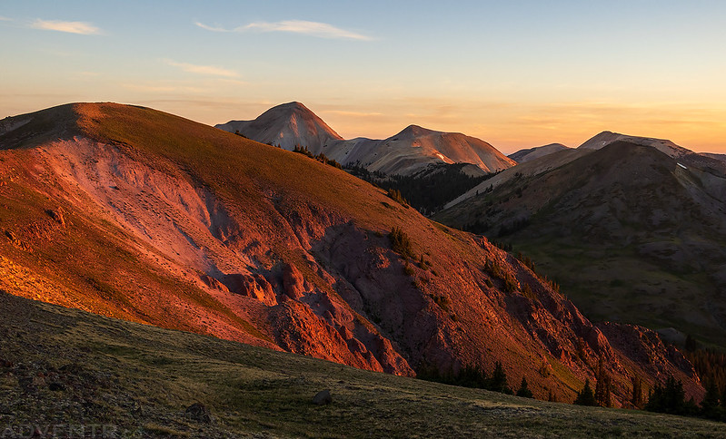
Looking down the ridge to the south I could see the summit of Mount Holly (as it is labelled on the maps), or Mount Hawley (which is it’s official name).

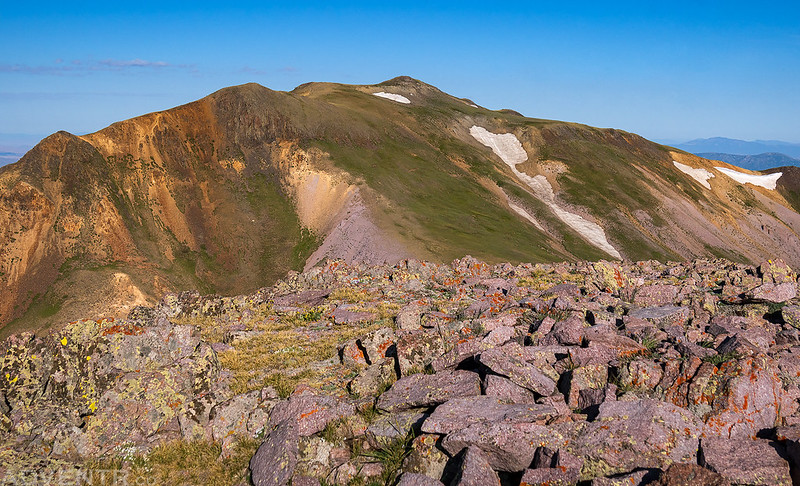
Looking back at Delano Peak as I started to ascend East Delano.
Mount Holly (Hawley) on the other side of Cottonwood Creek.
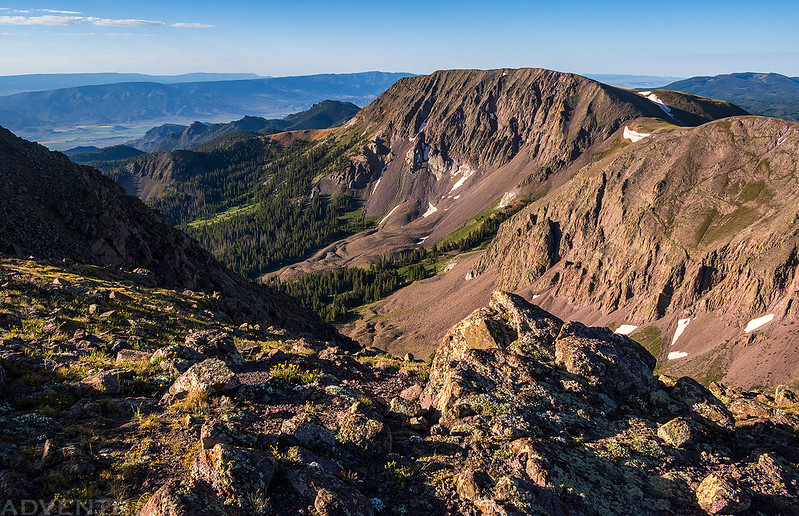
From the top of East Delano I had a smoky view over the summit of PT 12002.

On the summit of East Delano and ready to head back over Delano Peak again.
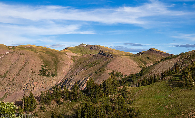
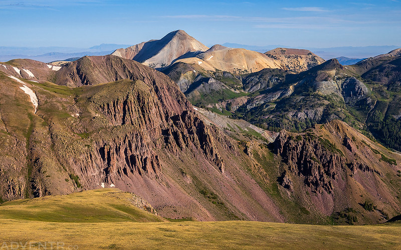
The Tushar Mountains
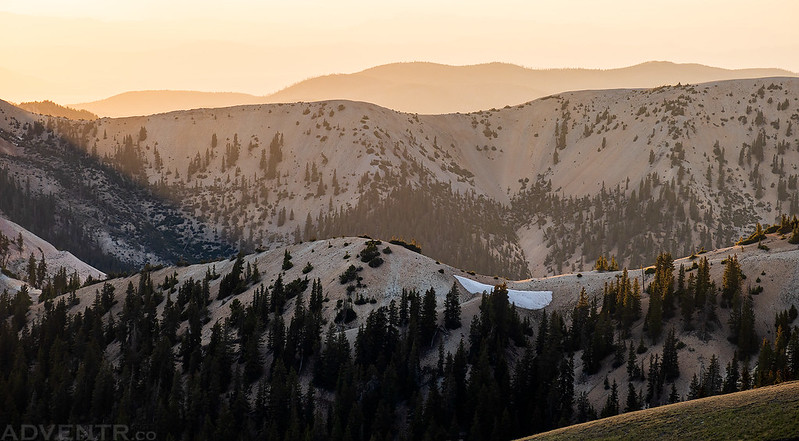
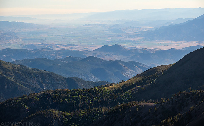
Smoke-Filled Valley
When I returned to Delano Peak I had the summit all to myself.
Then it was time to head back across the alpine tundra back to my Jeep.

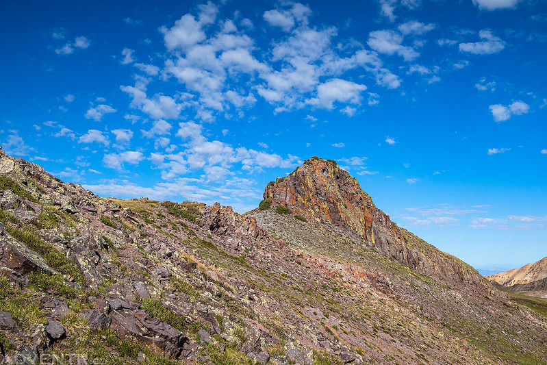
Although there wasn’t a trail the entire way along the ridge, there was a use trail for much of the route.

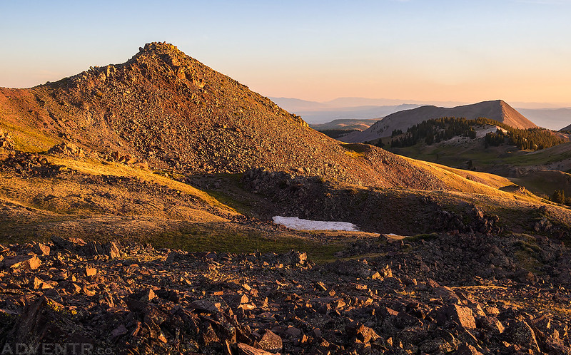
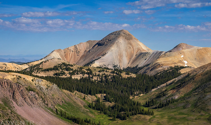
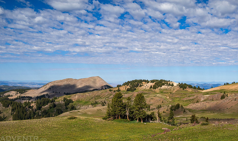
Bullion Pasture & Mount Belknap
I took a slightly different route back so I could get different views from the ridge.
Following the trail back…
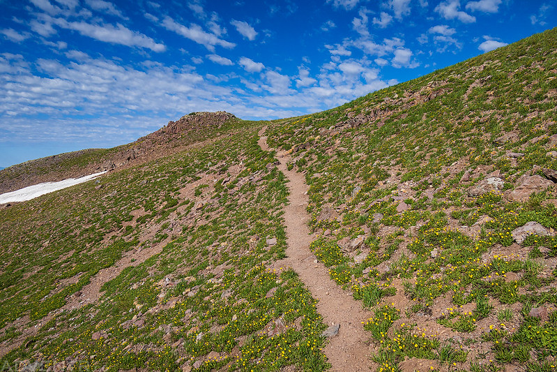
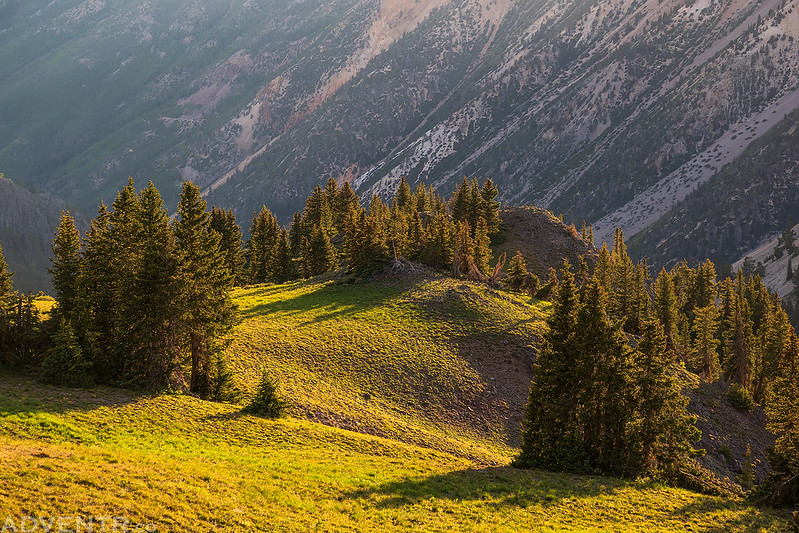
Bright green alpine tundra, blue sky and nice clouds makes for a nice morning in the mountains.
Soon I reached my Jeep at the switchback in the road that I had started hiking from.

I made a quick stop at Mud Lake before heading down out of the mountains to Beaver.
After reaching Beaver I hopped on the interstate and continued on to Cedar City, where I stopped for lunch. Then it was off to my next destination, the Spring Mountains north of Las Vegas.