Canyons of the Escalante | Southern Utah Wanderings in a Sandstone Wilderness
Tuesday, October 1, 2019
The Old Boulder Mail Trail is a 15 mile trail that was originally established in 1902 as a mail route that linked the isolated towns of Escalante and Boulder Town and was traversed by pack mules twice-weekly to carry mail, medicine and occasional travelers. In 1911 a telephone line was strung between trees, rocks and poles along the route by the Forest Service to connect the ranger stations in both towns. The ranger in Boulder even let the townspeople tie in with their own lines. Some of the glass insulators can still be seen in the treetops along the trail today. The line was used until 1955 when a microwave system replaced it. When Utah Highway 12 was completed in 1940 the Boulder Mail Trail fell into disuse.
After we had dinner in Boulder on Monday night we drove out to the end of the McGath Point Bench to watch the sunset and then setup camp nearby so we could get an early start on the Boulder Mail Trail in the morning.
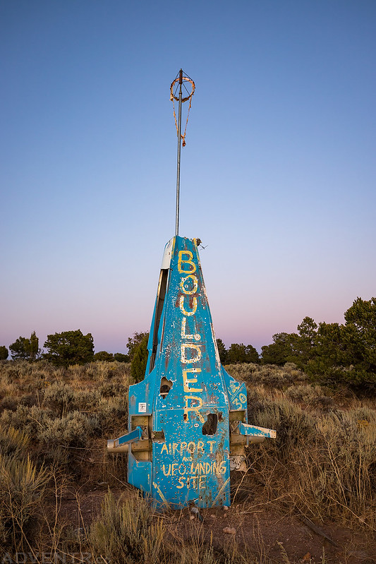
We passed by the ‘Boulder Airport’ on the way out there. Forget about Storming Area 51, apparently this is where you need to come to see aliens!
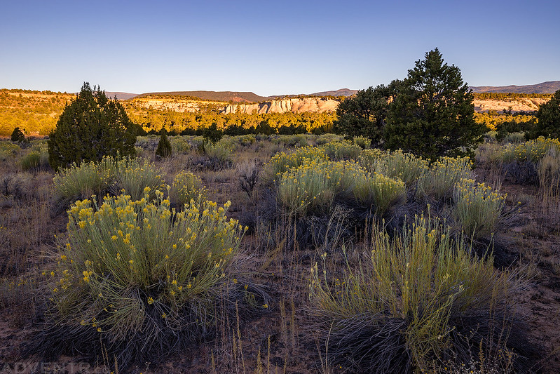
Watching the last light of the day strike the sandstone below us from the overlook.

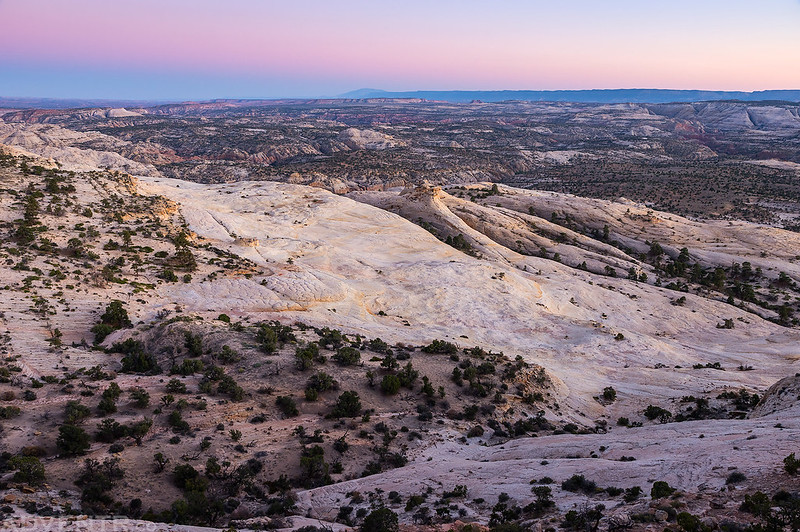
A view of McGath Point at dusk with the Henry Mountains visible on the horizon.
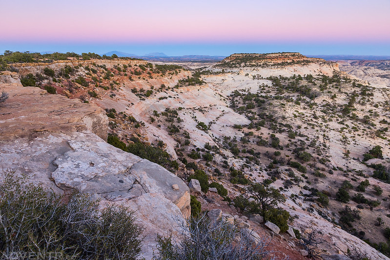
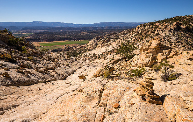
One last view over the sandstone wilderness below us to the Straight Cliffs and Navajo Mountain in the distance.
On Tuesday morning we woke up well before sunrise and took down our camp in the dark so we could get an early start on the trail since we had a long hike ahead of us. We drove back over to the trailhead, made sure we had everything we needed in our packs for the day and then started off down the historic trail shortly before sunrise.
Ready to start our hike before sunrise.

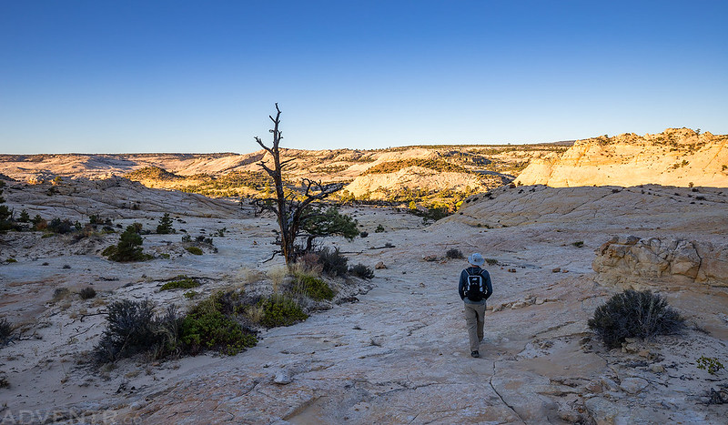
We watched the sunrise from the pinyon and juniper forest that the trail winded across the New Home Bench at the beginning of the hike.
Jared hikes ahead of me as we reached the slickrock and started our descent down to Sand Creek.
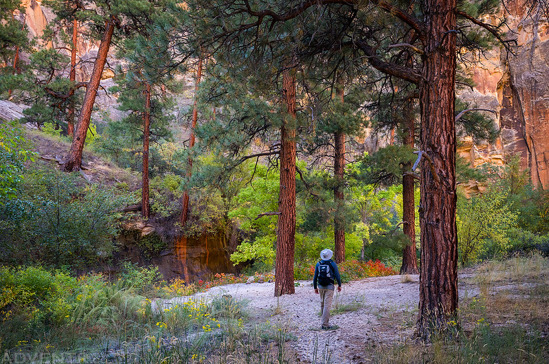
Hiking on the trail along Sand Creek.
A view back over Sand Creek as we started the climb up the other side.

I spotted this little arch and walked over for a closer look.
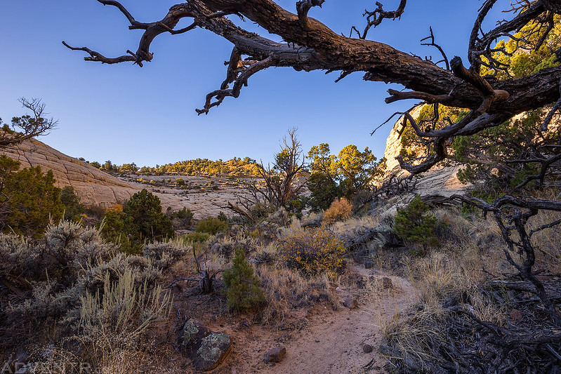
Soon we found ourselves starting the descent into Death Hollow.

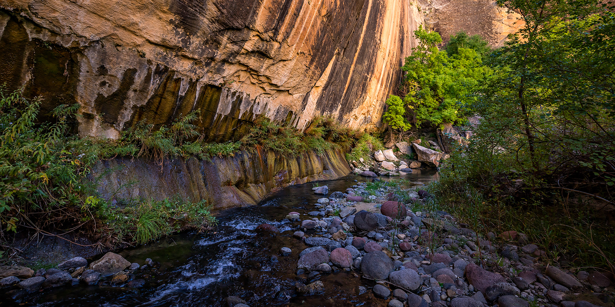
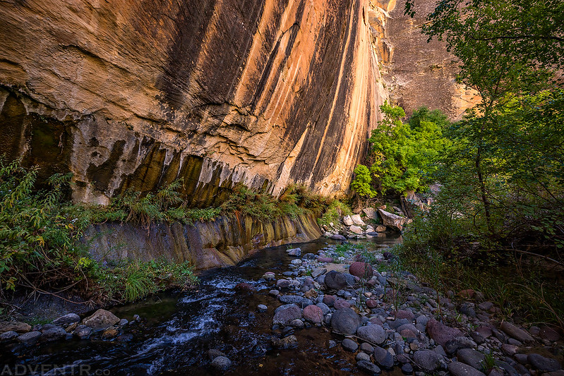
Overlooking Death Hollow as we followed the steep trail to the bottom of the canyon.

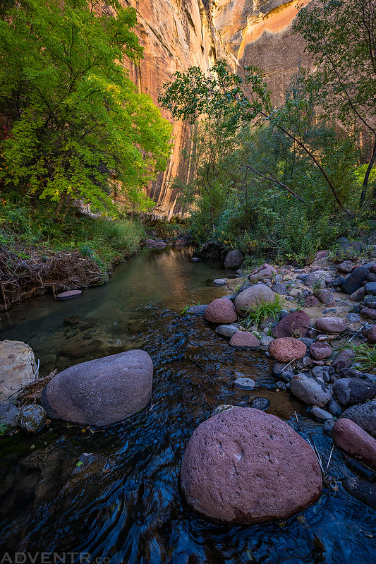
While I hiked in the water most of the time in Death Hollow to avoid the poison ivy that seemed like it was everywhere, there were a few sections of trail that we followed.

Tall trees, a sandy beach and a clear running stream….what else could you ask for in a campsite?
Looking up from the bottom of Death Hollow.

Hiking through Death Hollow was the highlight of the Boulder Mail Trail, but it also slowed down our pace significantly!


Somehow I managed to lose a lens cap when I was hiking in the creek. Probably when I stepped in a deeper hole and tried not to get my camera wet.
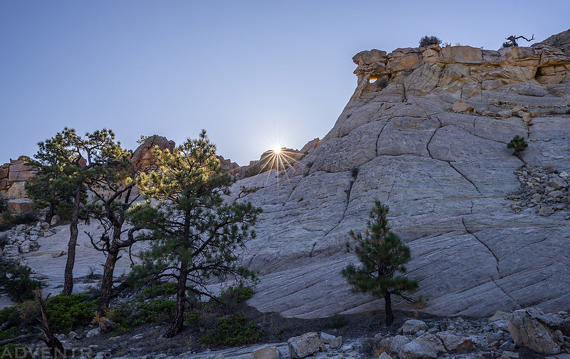
After hiking along the bottom of the canyon for less than a mile it was time to start climbing up the trail on the other side. We did stop for a snack and to let our feet dry out and warm up in the sunlight for a little while.

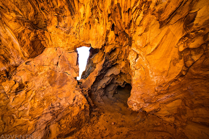
As we climbed out of the canyon I spotted this outcropping of yellow rock that looked like it might be an arch, so I walked over for a closer look…

Yep, there was a small hole inside, so it is an arch!
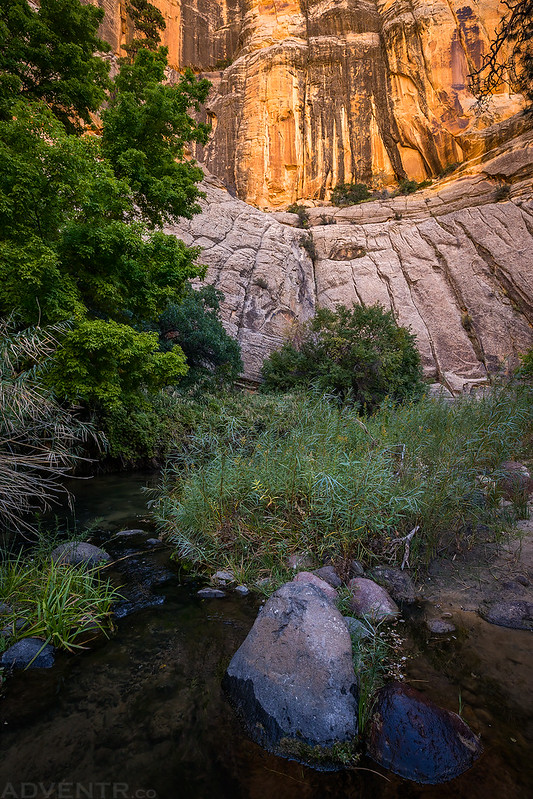
A view over Death Hollow from the other side of the canyon.

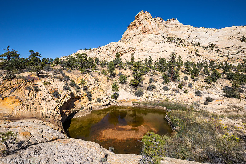
When we reached Mamie Creek we found that it was pretty dry except for this large pool.
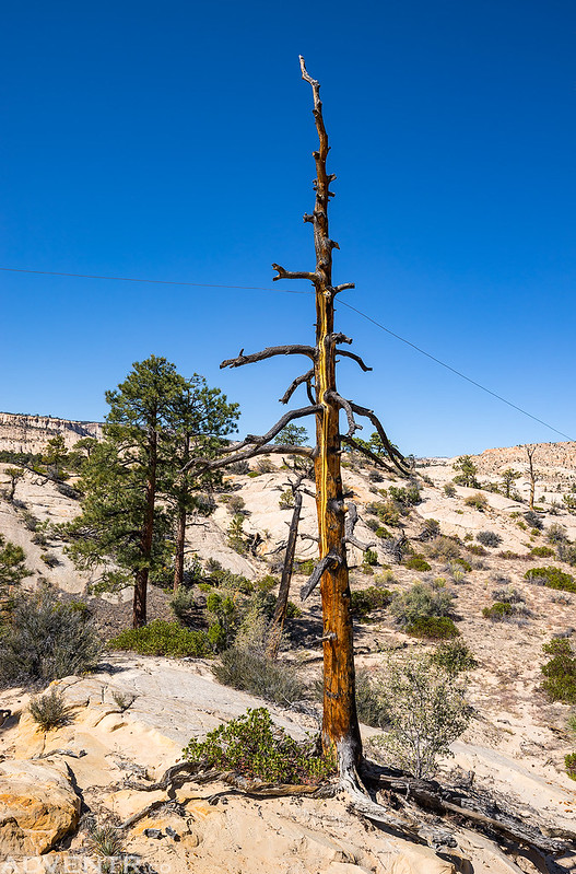
There were a lot of ups and downs along the route and the wind started to pick up again in the afternoon.

After leaving Mamie Creek I spotted this cool hoodoo and had to get a photo of it.

Here’s a photo of the telephone line attached to a tree along the trail. If you look closely you can see the glass insulator. There were a lot of these along the route.
This was the beginning of the final climb of the trail before we would start our final descent into Escalante. We were getting pretty tired by this point, especially since there was a lot of soft sand to hike through between all the sandstone.
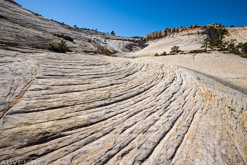
Looking back across part of the sandstone wilderness we had just traversed.

It seemed like it took forever to get down to the trailhead once we were able to see Escalante from the rim.
Besides losing my lens cap in Death Hollow, I also managed to lose my sunglasses in Pine Creek when I was bushwhacking through some trees. Once we finally reached the trailhead we were pretty hungry so we went right into town and grabbed some dinner from the Circle D Eatery. After dinner I picked up some cheap sunglasses from the grocery store and then we returned to my Jeep at the Boulder Mail Trail Trailhead just after sunset. Since it was getting late we decided to just setup camp nearby again for the night. It had been a long day and we were tired!