Press "Enter" to skip to content

Tag: 12ers

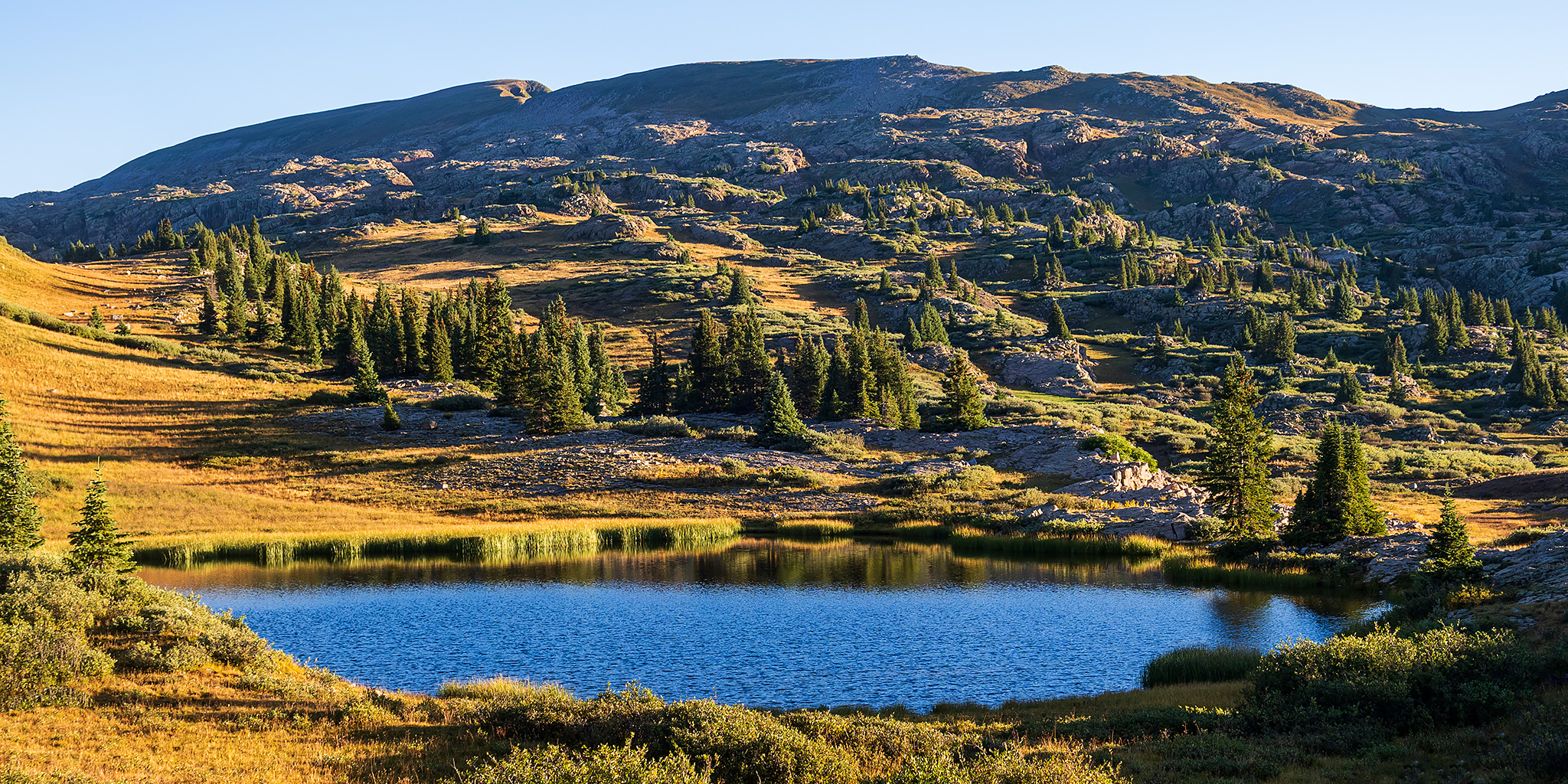
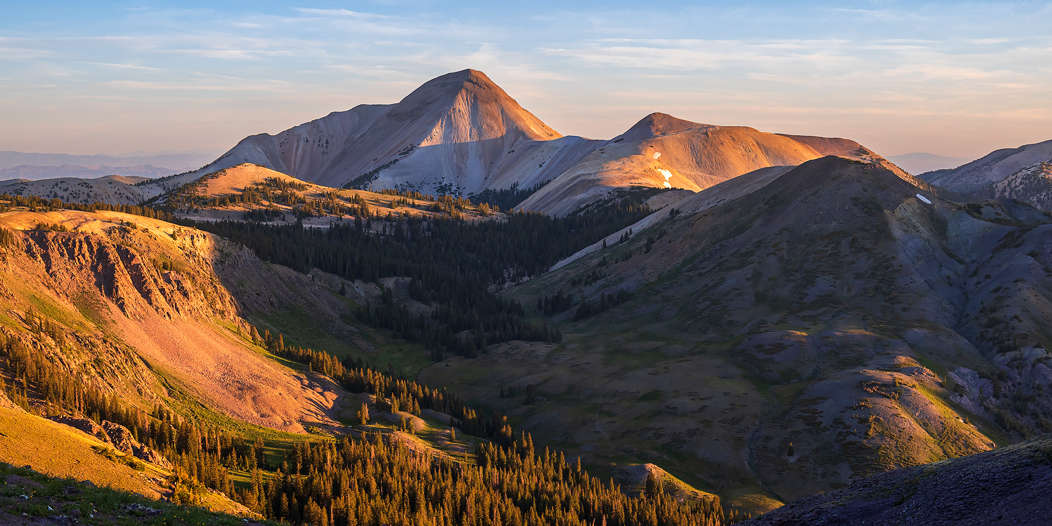
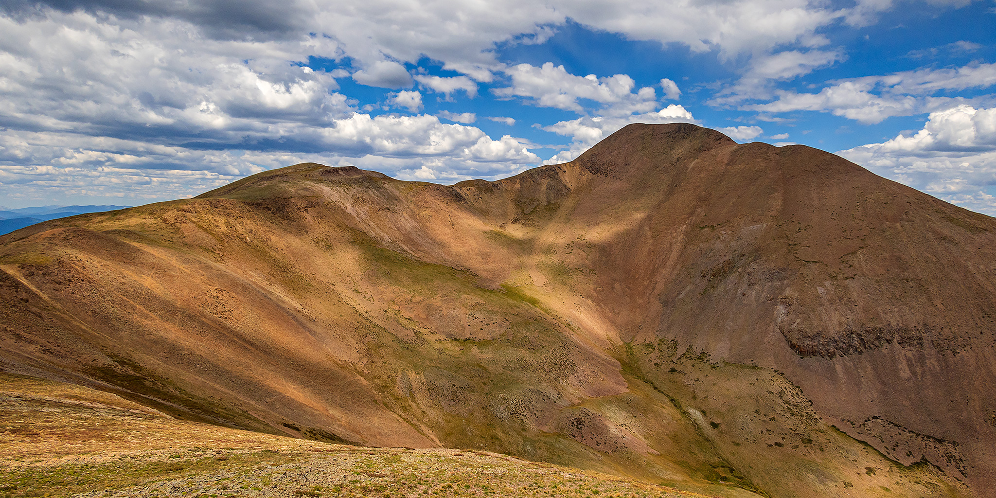
Southern Sawatch: Antora Meadows & Windy Point

Friday, September 2, 2022

After spending the night next to the rushing waters of Willow Creek, I actually slept in past sunrise for a change since I had already climbed Parkview Mountain the evening before and had no other plans for first thing in the morning. Today I was going to be driving a couple hours to the very southern tip of the Sawatch Range where I had originally planned to spend the rest of the weekend. However, after driving south through Silverthorne, Leadville, Buena Vista and then over Poncha Pass to Bonanza, I just wasn’t feeling like I was into the trip anymore and decided I would probably be heading home later today instead.

Leave a Comment
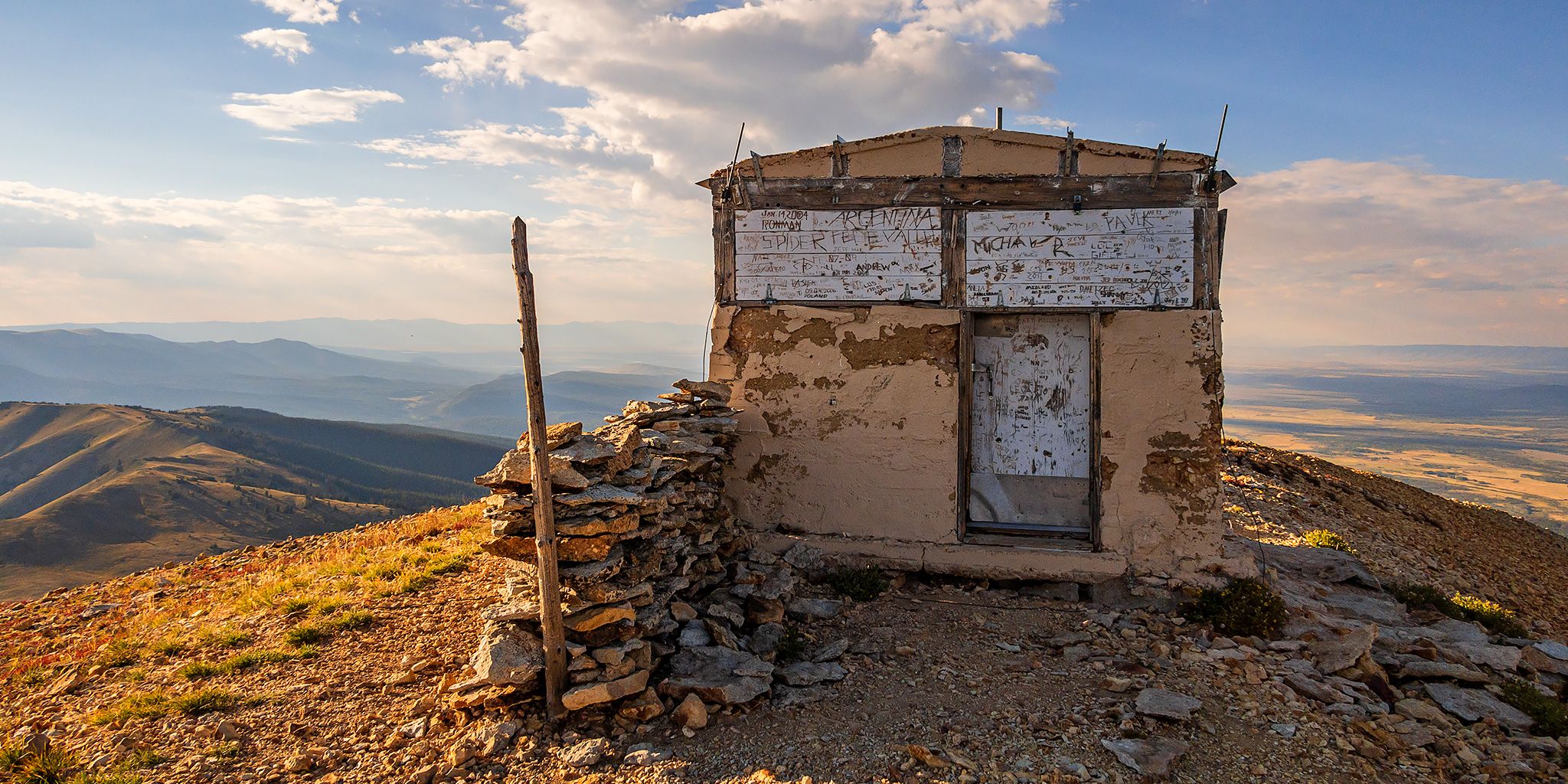
Rabbit Ears Range: Parkview Mountain Fire Lookout

Fire Lookouts Extravaganza | Thursday, September 1, 2022

After visiting a couple Fire Lookouts in the morning, I made my way back to North Park in the afternoon via the Cache La Poudre River and Cameron Pass and then headed south over Willow Creek Pass. Just on the other side of the pass I drove up the switchbacks of an old mining road that joined up with the Continental Divide Trail on the southern flank of Parkview Mountain, which at 12,296 feet is the highest point in the Rabbit Ears Range. On top of Parkview Mountain is the final Fire Lookout that I planned to visit on this trip and it’s also the second highest lookout in the United States after the one on top of Fairview Peak in the Sawatch Range. I was originally planning to camp near the end of the road and then hike to the summit in the morning, but since there were still three hours until sunset and the weather was looking good, I decided to hike up this evening.

Leave a Comment

Medicine Bow Peak in the Snowy Range

Wednesday, August 31, 2022

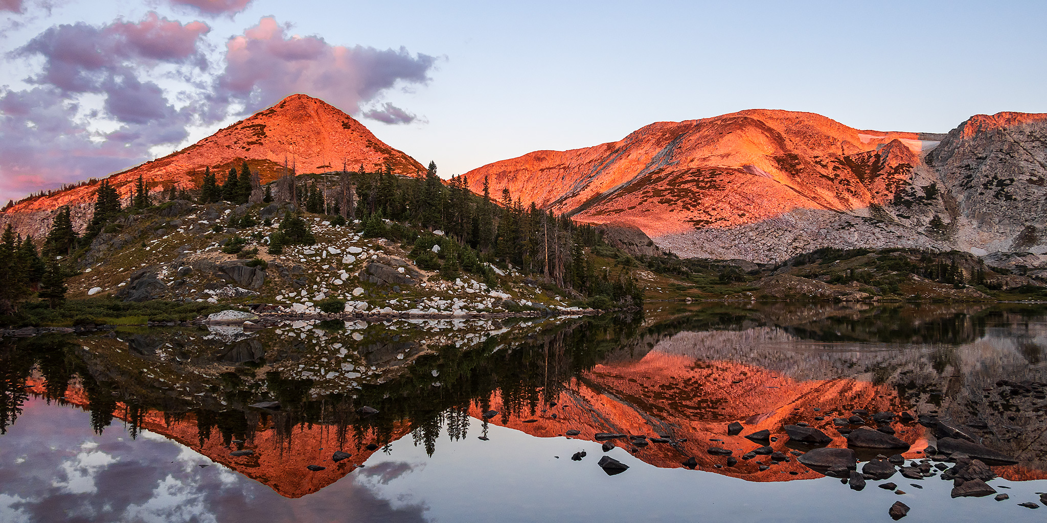
After spending my first night at the Spruce Mountain Fire Lookout Tower I got up extra early on Wednesday morning so I could drive to the nearby Snowy Range and hike to the summit of Medicine Bow Peak, which at 12,013 feet is the highest peak in this small but spectacular subrange of the Medicine Bow Mountains. After leaving the Fire Tower, I dropped down into the Centennial Valley and then followed the Snowy Range Highway, which is also known as the Great Skyroad, up to the Lewis Lake Trailhead near Libby Flats. As I passed through the small town of Albany, I swear I saw a Ringtail Cat cross the road in front of my Jeep, but it was too dark out for me to be 100% certain. I arrived at Lewis Lake just in time to catch the pre-dawn alpenglow and then a beautiful sunrise, but as I was making my way to the shore of the lake I had to give wide berth to a couple of moose that were grazing right near the trailhead.

1 Comment

Weminuche Wanderings: Lime Mesa to Overlook Point

Mountain View Crest of the Weminuche Wilderness
Friday – Saturday, August 26-27, 2022

Since I was going to be leaving after work on Monday afternoon for a weeklong trip into northern Colorado and southern Wyoming, I wanted to be home on Sunday to make sure that I was prepped and packed for the trip, so that left me with only one day this weekend to get out hiking. My plans for last weekend had been thwarted by stormy weather in the high country, so I decided to retry part of those plans with a short hike into the Weminuche Wilderness from the end of the road on Lime Mesa between Silverton and Durango. As usual, I left right from work on Friday afternoon and headed south on the Million Dollar Highway and was able to watch the most recent storm system clearing out as I drove over Red Mountain Pass, Molas Pass and Coal Bank Pass through the heart of the San Juan Mountains. After reaching the very northern tip of the Animas River Valley I headed up the Missionary Ridge Road in search of a campsite to spend the night.

Leave a Comment

Delano Peak: Top of the Tushar Mountains

Friday & Saturday, July 8-9, 2022

This weekend I was going to be travelling all the way to San Diego to spend the following week at the ESRI User Conference for work, and figured this would be a great opportunity for me to hike some peaks along the way if I drove instead of flying, so that’s what I made plans to do. I left from work on Friday afternoon and started my long drive west into Utah, though I wouldn’t be going too far this first day. It was very windy out this afternoon which killed my fuel mileage and I just barely made it to Richfield to fill up my gas tank and get some dinner. My first stop along the way was going to be the Tushar Mountains, which I have driven around numerous times before, but never actually been into, so I was looking forward to checking them out for the first time. I figured a good introduction to the range would be to climb Delano Peak, which is the highest peak in the range at 12,169 feet and is also the Highpoint for Beaver & Piute Counties.

Leave a Comment