Canyons of the Escalante | Thursday, October 15, 2026
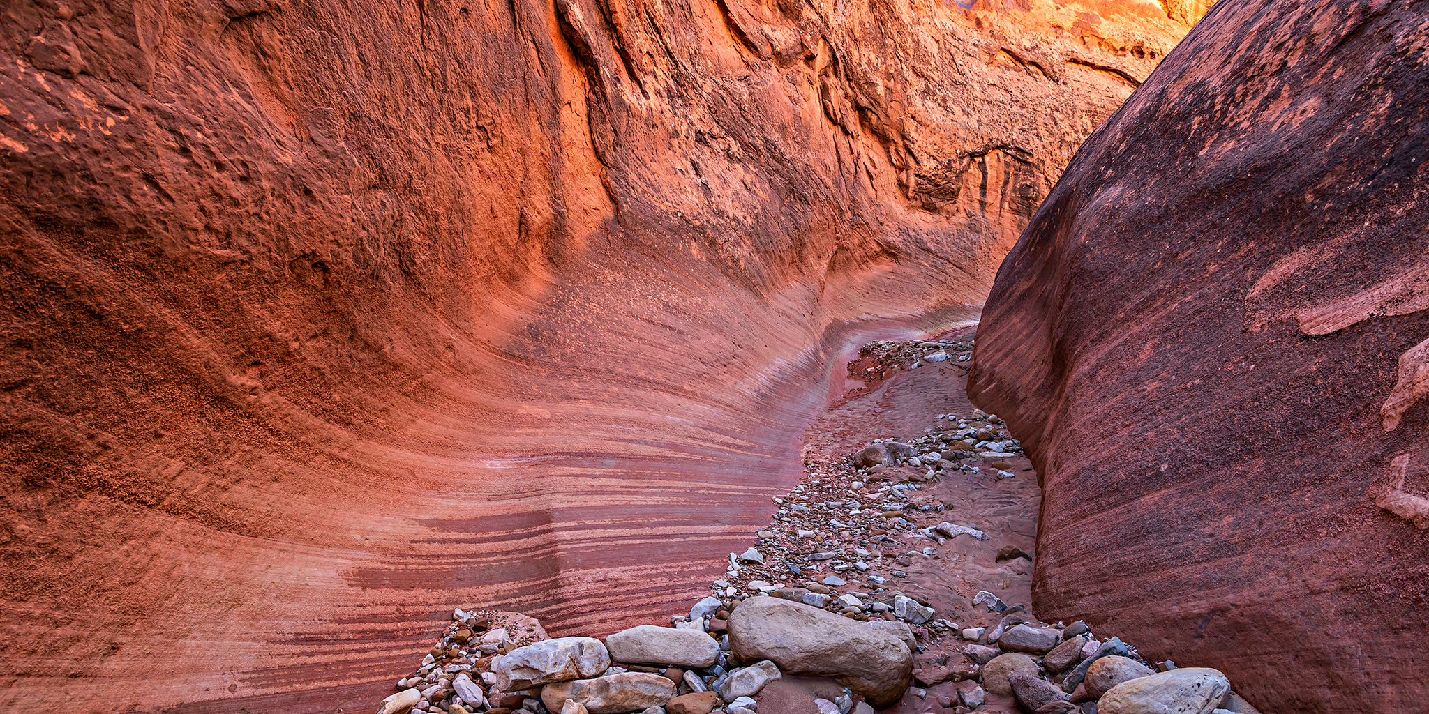
The view to the south and southeast is dismal and suggestive of the terrible. It is almost unique even in the category of plateau scenery. The streams which head at the foot of the lava-cap on the southern wall of the Aquarius flow southward down its long slopes. The amphitheaters soon grow into canons of profound depth and inaccessible walls. These passages open into a single trunk cañon, and their united waters form the Escalante River. Numberless tributary canons open into it along its course from both sides, so that the entire platform through which it runs is scored with a network of narrow chasms. The rocks are swept bare of soil and show the naked edges of the strata. Nature has here made a geological map of the country and colored it so that we may read and copy it miles away.
C.E. Dutton, 1880
After a very wet start to the week, we finally made it out the Hole-in-the-Rock Road to the Sooner Rocks late on Wednesday afternoon, ate our dinners and then went to bed after dark. I got a great night of sleep and we both woke up shortly before sunrise on Thursday morning so we could spend the day hiking into Fiftymile Creek. We had been planning to hike into Fiftymile Creek back in 2022 after our hike into Davis Gulch, but I got sick on that day and headed home early instead, so I was really looking forward to getting back and finally getting to go on this hike!
We watched the sunrise from our campsite at Sooner Rocks.

Sooner Rocks Camp

After breakfast we drove over to our trailhead below Cave Point and started hiking down the West Fork of Fiftymile Creek.

After an easy walk down the wash and then following a bypass around a dryfall we reached a nice narrow section of the West Fork.
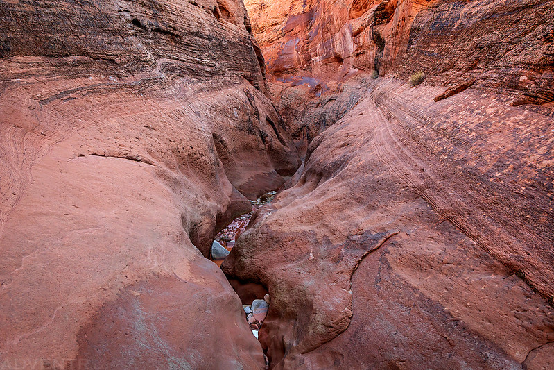
Into The Narrows

West Fork Slot

Rocks & Mud

West Fork Curves

Walking through a nice striped alcove.

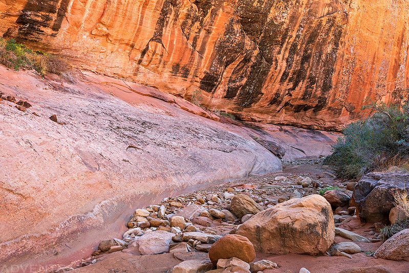
The canyon opened up again before we reached the confluence with the main fork of Fiftymile Creek.

Jared hikes between the massive walls of Fiftymile Creek.
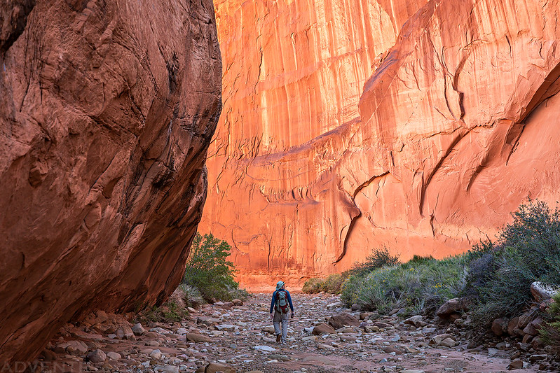
It was a lovely canyon to walk through.

Fiftymile Creek

This large cottonwood was just starting to display its fall colors.

Canyon Walls & Clouds

We turned around shortly after passing by the sand slide exit and returned the way we had come.

Fiftymile Canyon Arch

The light was even better on our way back through the narrows of the West Fork later in the day.


Rock Art of the Escalante River
We kept our eyes open for petroglyphs during the hike and found quite a few along the way. Many of them were very nice, but also hard to see, so I did my best to bring them out in the photos below.
Glen Canyon Linear Style Sheep

Three Sheep

Faded Petroglyphs

Fremont Figures Panel

Here’s a closer look at the Fremont anthropomorphs.

Big Sheep Petroglyphs

The next two photos are of the same panel. This is an interesting one because depending on what angle you were looking at the panel with a polarizer, different petroglyphs seemed to be visible.


High Petroglyph

Little Panel

Middle Petroglyphs

It looks like there is a Glen Canyon Linear Style turkey to the right of the main figure in this photo.
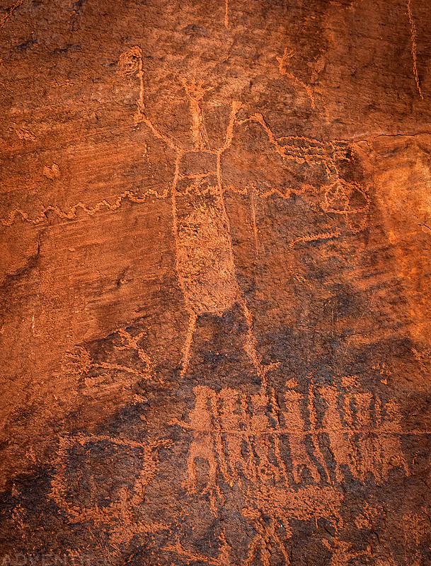
I like this tall waving figure.
