La Plata Mountains & Mesa Verde National Park
Sunday – Monday, July 12-13, 2026
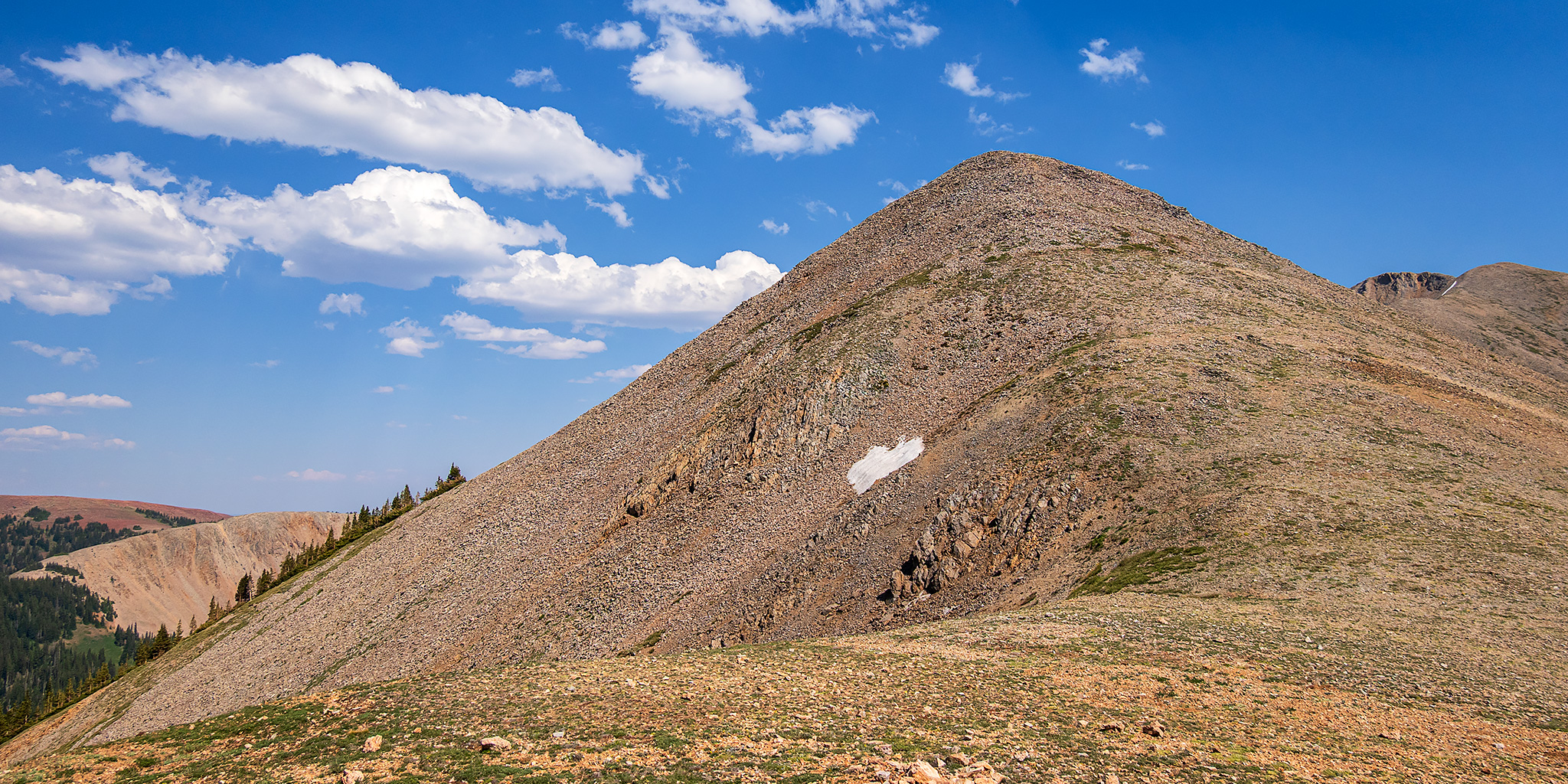
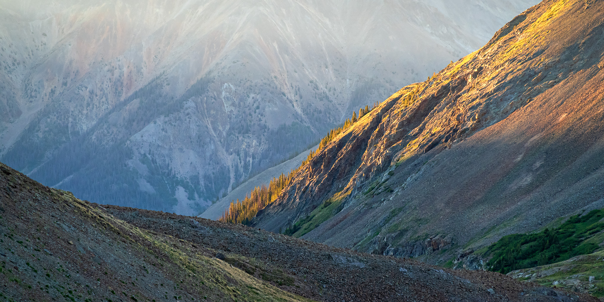
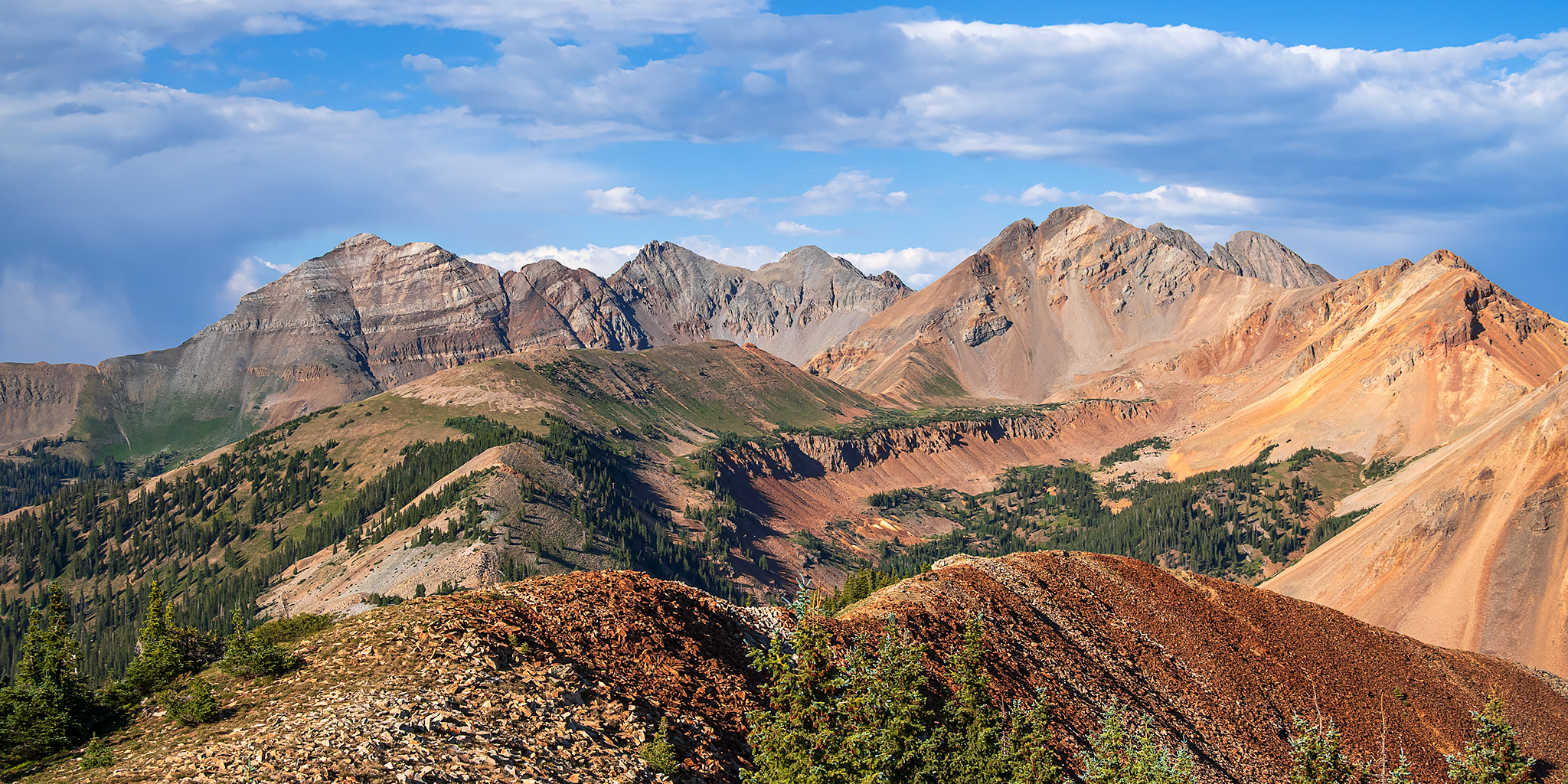
On Monday afternoon I was going to be meeting someone on Cedar Mesa, so I thought it would be nice to spend Sunday afternoon and Monday morning in the La Plata Mountains where I wouldn’t be too far away. A few weeks ago I was actually trying to decide if I wanted to spend this weekend in the Abajo Mountains or the La Plata Mountains, but the Babylon Fire ended up making that decision for me. After spending Saturday in the Gunnison Gorge it was much too late for me to leave that evening, so I went home, slept in, and then took my time getting ready to leave late on Sunday morning. After driving through the Uncompahgre Valley I left the smoky sky behind when I crossed over the Dallas Divide and then drove through a few much-needed rainstorms between Lizard Head Pass and Dolores. I stopped for dinner in Mancos while I waited for the afternoon storms to pass and then headed up Echo Park Road so I could hike to the summit of Helmet Peak, which is the westernmost peak of the La Plata Mountains.
Leave a Comment