Press "Enter" to skip to content

Tag: fourth of july

Riches of the Rico Mountains

Independence Day Weekend | Friday – Monday, July 2-5, 2021

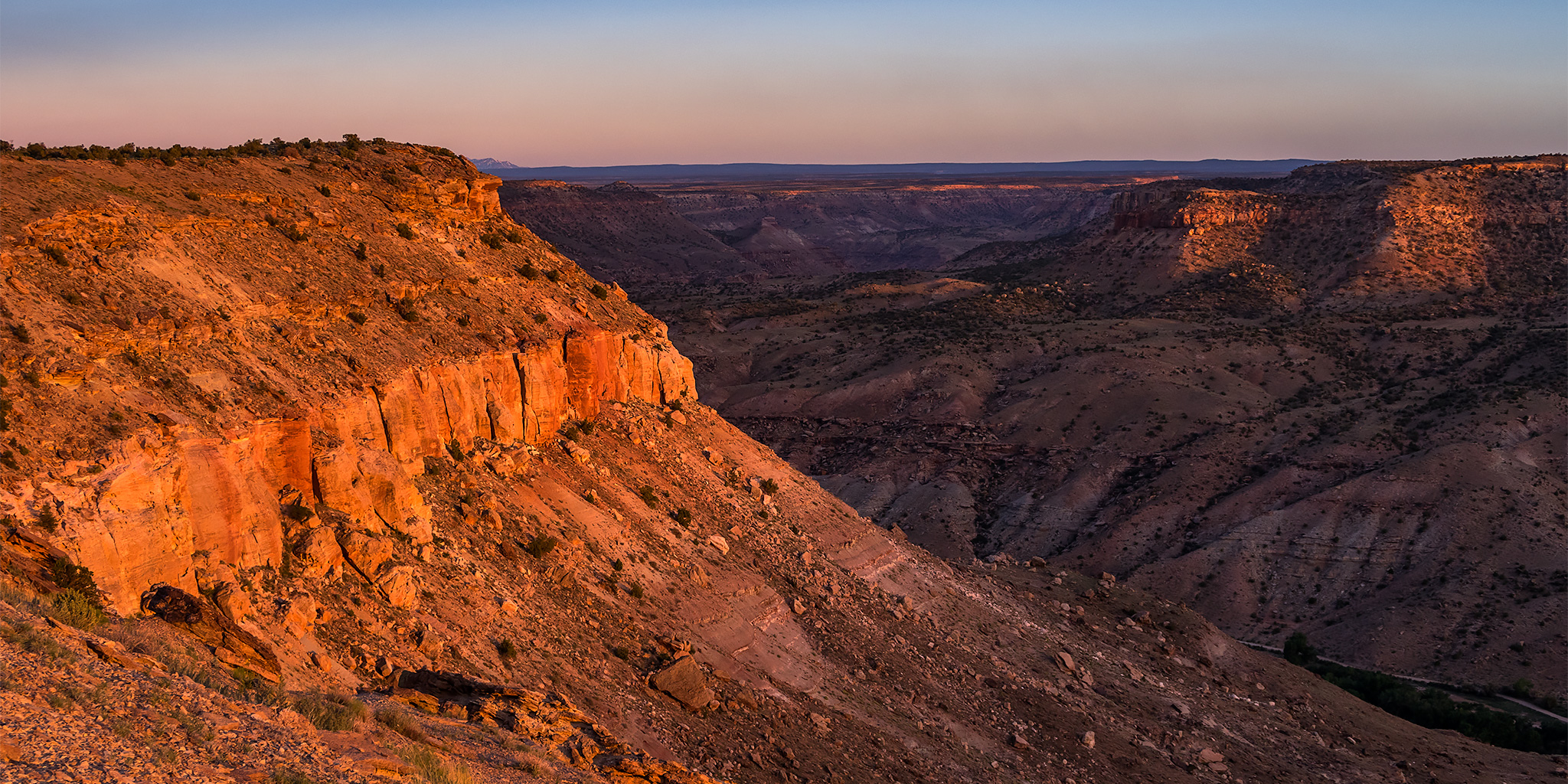
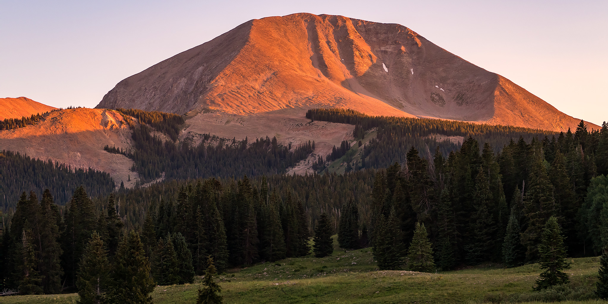
I knew the mountains of Colorado were going to be a very busy place over the Independence Day weekend, so I thought it might be a good idea for me head back into the Rico Mountains this year. Located at the western edge of the San Juan Mountains, the Rico Mountains are a small subrange of peaks that surround the old mining town of Rico and the Dolores River valley. I had a very nice time exploring the Rico Mountains last summer and I figured that this area might not be quite as popular as some others, so I was looking forward to getting back again!

Leave a Comment

Flat Tops for the Fourth: Wall Lake & Trappers Peak

Headwaters of the White River | The Flat Tops Wilderness of the White River Plateau
Independence Day Weekend | Friday – Saturday, July 3-4, 2020

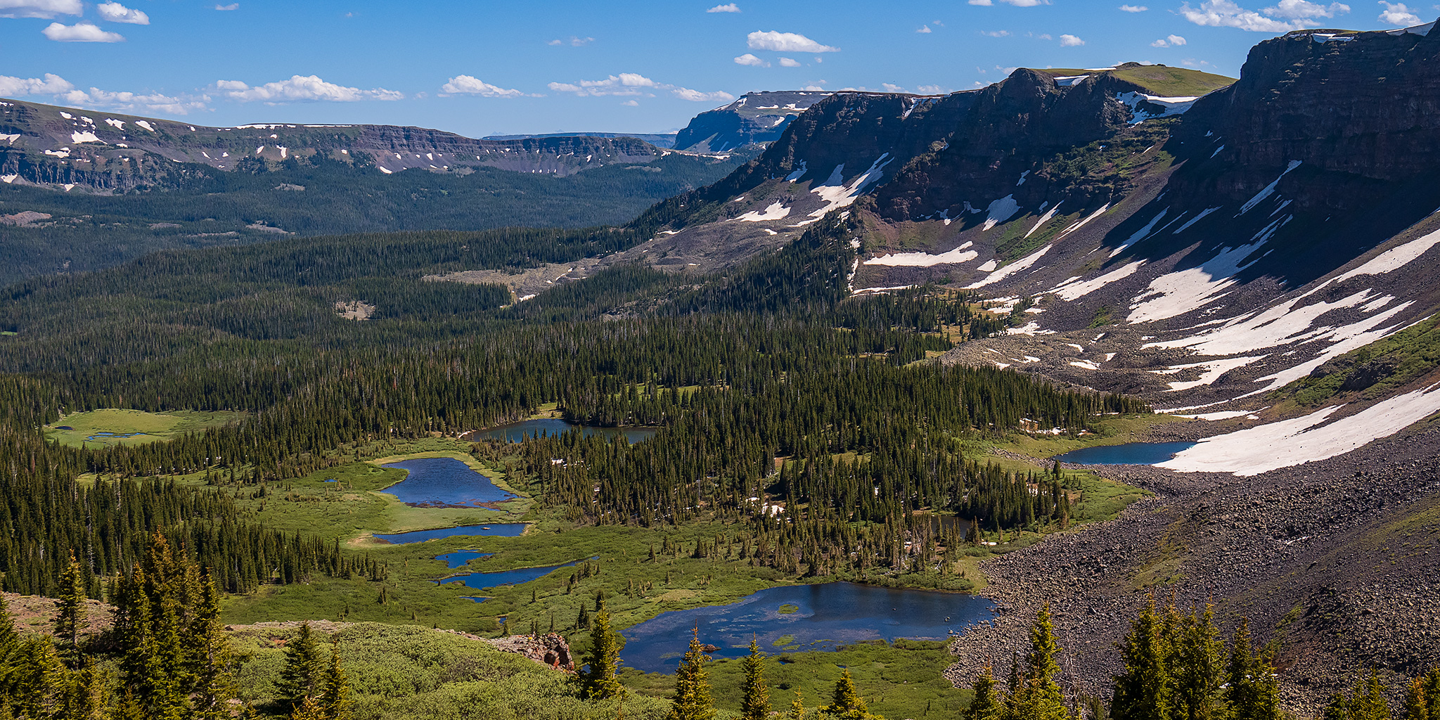
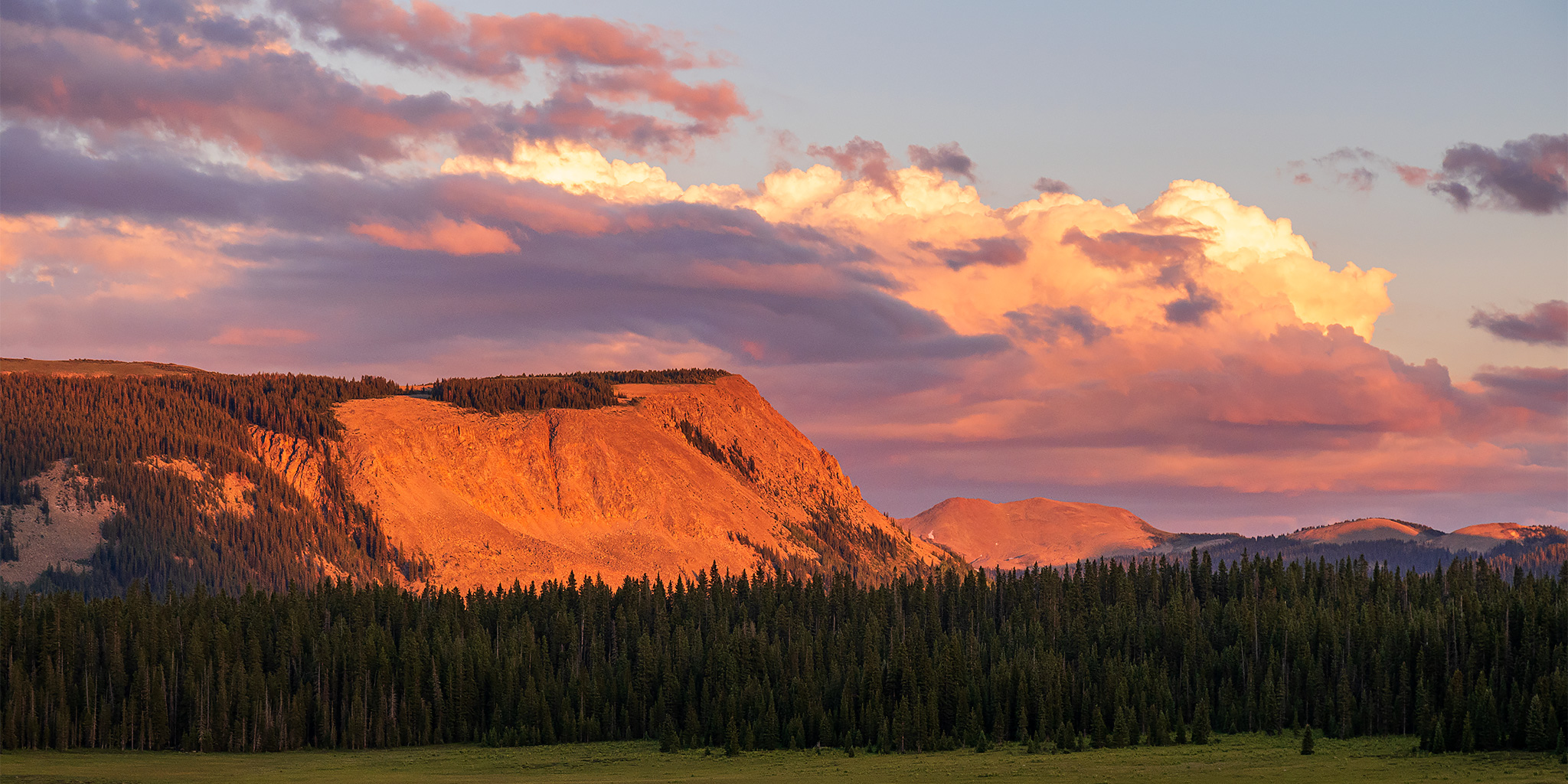
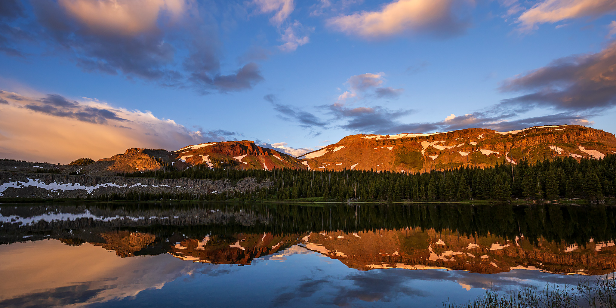
After spending the last couple of weekends on the river it was finally time to start heading up into Colorado’s high country for the short summer season! This weekend Diane and I decided to head up to visit the headwaters of the White River in the Flat Tops Wilderness, where I hoped we could find a little solitude over this popular and busy holiday weekend. Although I’ve gone on a few day hikes into the Flat Tops Wilderness before, this would actually be our first backpacking trip into Colorado’s third largest wilderness area and I was looking forward to it!

3 Comments

North Fork of the Gunnison River

Paonia River Park to the Gunnison Forks Recreation Site
Independence Day | Thursday, July 4, 2019

This year for the Fourth of July I was looking to go on one last river trip before I started heading into the mountains for the summer season. Since I only had one day off from work for the holiday I wanted to go somewhere close to home and on a river that was still not running too high, which was hard to find this year! On Wednesday afternoon Jackson, Chris and I decided that we would give the North Fork of the Gunnison River a try from the Paonia River Park to its confluence with the Gunnison River. The North Fork of the Gunnison is formed just below the Paonia Reservoir by the confluence of of Muddy Creek (not that Muddy Creek) and Anthracite Creek, which originates in The Raggeds of the West Elk Mountains. Since we have already floated most of the Gunnison River from Pleasure Park to Whitewater, we thought it would be nice to work our way further up the North Fork and finally check it out.

2 Comments

Burro Pass Peaks

La Sal Mountains Peak Bagging | Manns Peak, Mount Tomasaki & Haystack Mountain
Independence Day | Wednesday, July 4, 2018

This year the Fourth of July fell right in the middle of the week and since Diane had to work one holiday this year she chose this one since we wouldn’t be able to plan a big weekend trip around it. I had the day off from work, so I decided to spend the holiday continuing my quest to climb all of the main peaks in the La Sal Mountains near Moab. Not only is the mountain range pretty close to home, but I was also hoping it wouldn’t be as busy as the mountains of Colorado can be during a holiday. I actually started my quest to hike all of the major peaks in the La Sal Mountains two years ago on the Fourth of July weekend with Mount Tukuhnikivatz. Then I continued with Mount Peale (12,721) later that same year. I guess I never made it back last year, so it was definitely time to return again! This time I was planning on hiking a few of the summits in the middle portion of the range near the headwaters of Mill Creek, starting with Manns Peak (12,272) and Mount Tomasaki (12,239) and then going from there depending on how I was feeling afterwards.

Leave a Comment

Last Dollar Peaks

Whipple Mountain & Last Dollar Mountain
Independence Day | Tuesday, July 4, 2017

This year for Independence Day Diane and I woke up early and drove down to the west end of the Sneffels Range near Telluride to climb a couple of mountains just off the Last Dollar Road. We started out by hiking up the Whipple Trail to the summit of Whipple Mountain (11,922) which was about 1.5 miles in length with 1,500 feet of elevation gain. It was mostly up an easy trail lined with wildflowers and then the last section from the saddle to the summit was on a faint track through a forest where the mosquitoes were pretty terrible. We enjoyed the view from the summit over toward Wilson Peak, El Diente Peak, and Lizard Head for a little bit and then hiked back down to the trailhead.

Leave a Comment