Friday – Sunday, April 12-14, 2024
A few months ago I finally did something that I’ve been meaning to do for a long time when I signed up for a Swiftwater Rescue Training class that would be taking place on Monday and Tuesday along the Green River near Swaseys Beach at the mouth of Gray Canyon. Since I needed to be in Green River on Sunday night for the class, I figured this would be a good weekend to spend some quality time wandering around the fringes at the southwestern edge of the San Rafael Swell and into the adjacent Cathedral Valley District of Capitol Reef National Park. It feels like it’s been quite a while since I’ve spent much time out in this desolate area and I was looking forward to returning since there are plenty of new places I’ve wanted to explore with my Jeep and on foot, plus a few others that I’ve wanted to return to.
Edge of the Swell: Mussentuchit Wash to Chimney Canyon Overlook
I left from work on Friday afternoon and headed west into Utah. After topping off my gas tank in Green River, I drove across The Swell on I-70 to the Millers Canyon exit and then headed south into the barren landscape.
It wasn’t long before I took a short detour from the main road to stretch my legs with a short walk.
Since I was in the area, I wanted to revisit the ‘Butch Casady’ inscription that I first saw about twelve years ago.
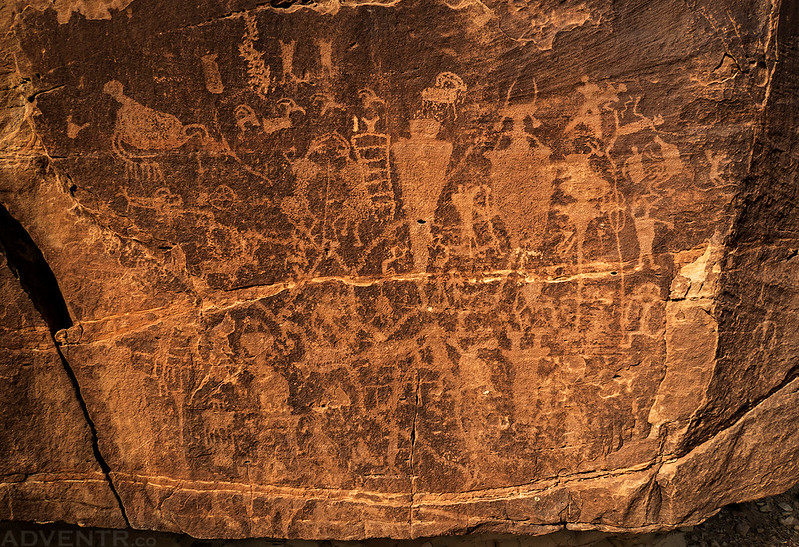
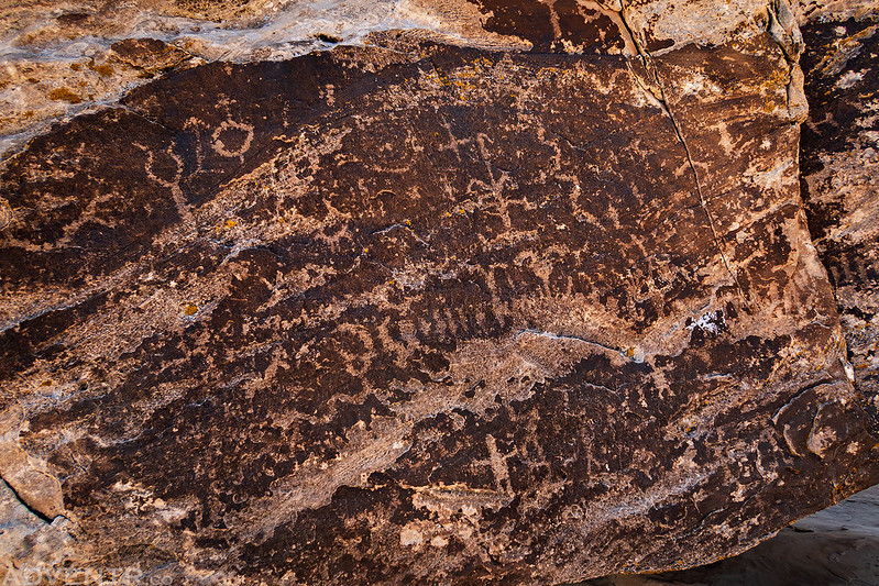
Next up, I headed over to Mussentuchit Wash so I could visit the nice petroglyph panel located there.
Mussentuchit Wash Petroglyph Panel
After revisiting those two sites it was time to head across the Slaughter Slopes into some new territory for me.
I passed by East Cedar Mountain as I made my way to the rim above Chimney Canyon.
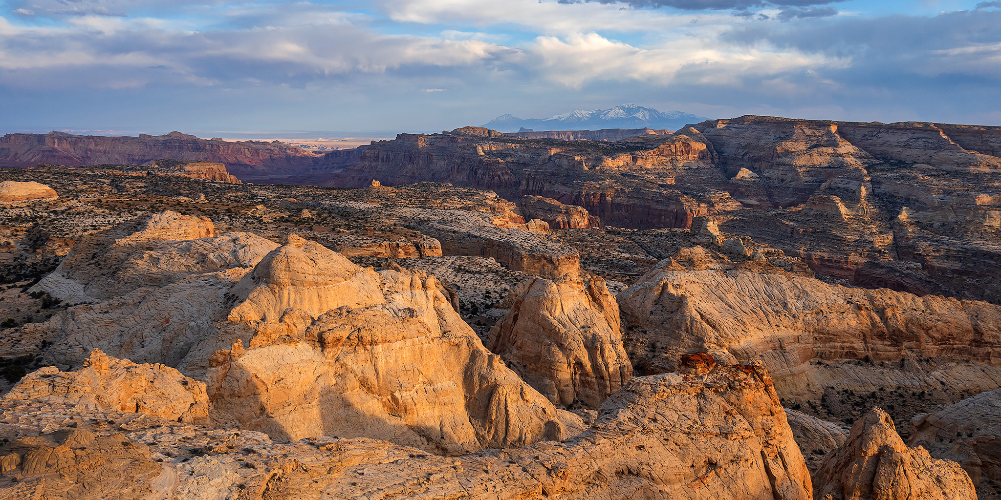
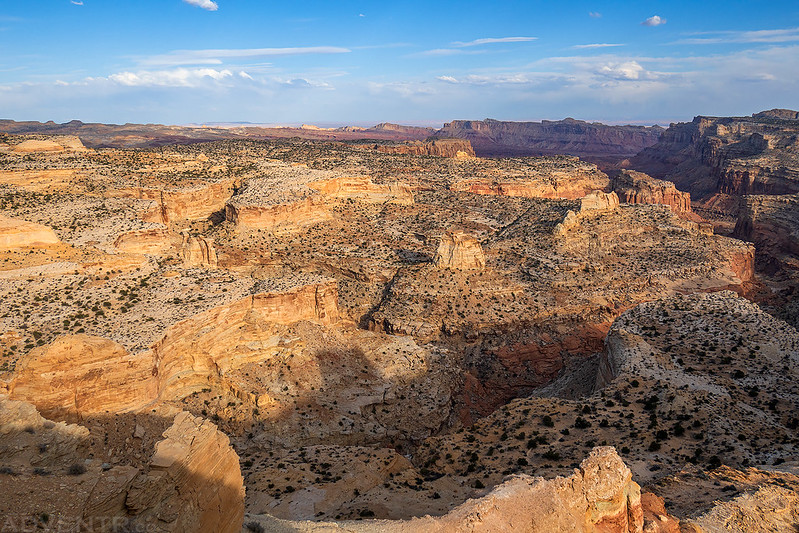
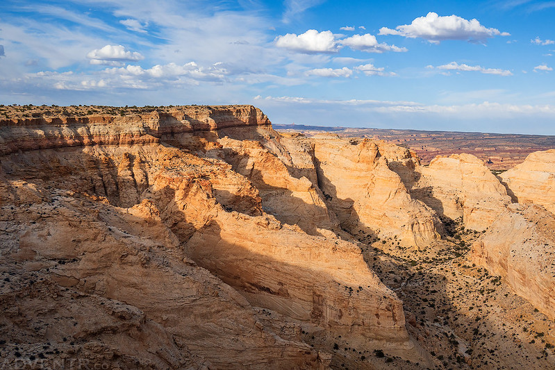
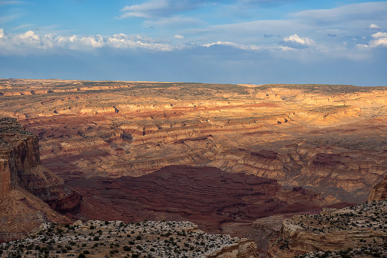
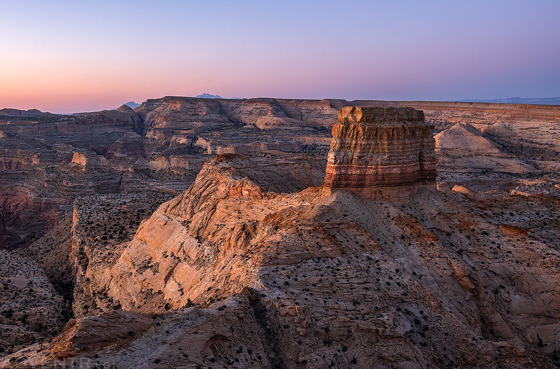
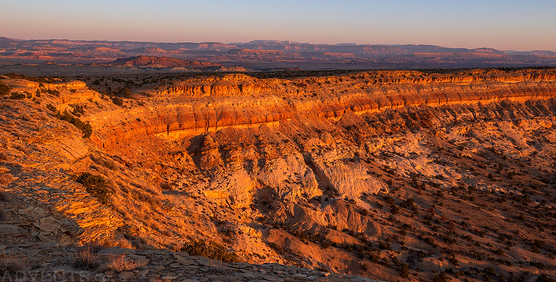
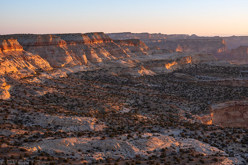
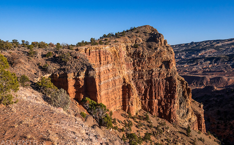
When I reached the edge I was treated to outstanding views over the Muddy Creek Wilderness and the southern end of the San Rafael Swell.
Chimney Canyon Rim
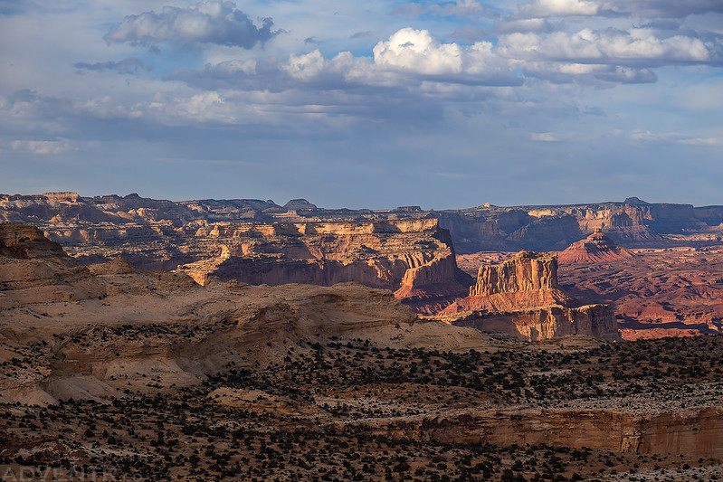
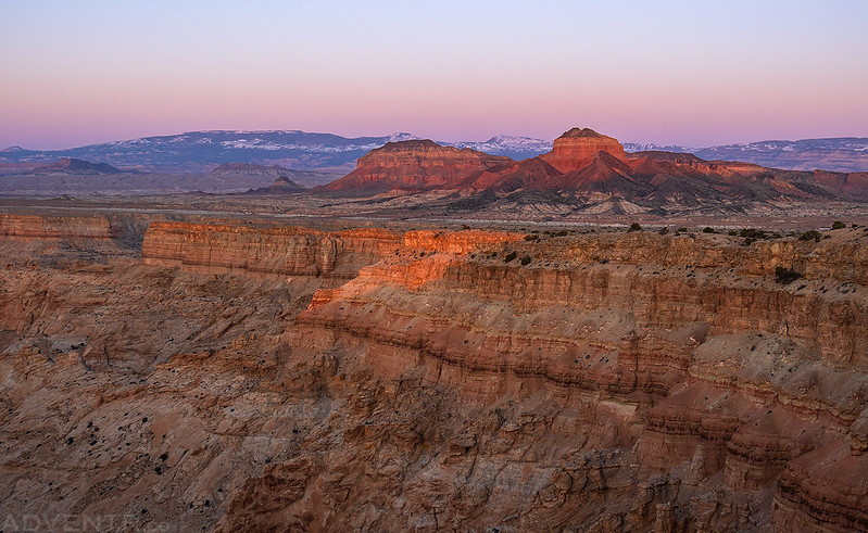
To the north I could see most of Tomsich Butte in the Muddy Creek Country.
Hondu Country
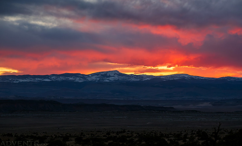
I enjoyed the sunset from the rim and then found a place to camp nearby.
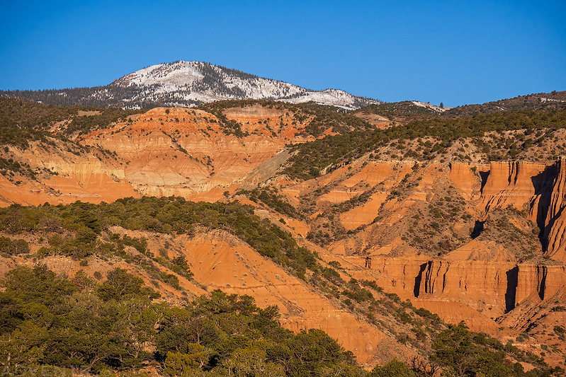
Hilgard Mountain after Sunset
Of course, I woke to up early to watch the sunrise from the rim on Saturday morning, too!
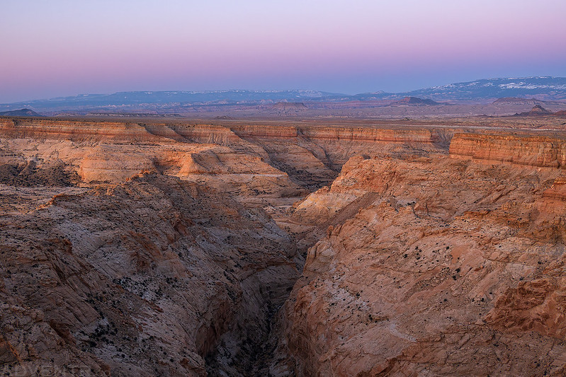
Upper Chimney Canyon
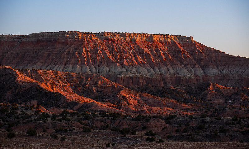
The first light of the day touches the rim of the canyon and both Cedar Mountains.
Slaughter Slopes Rim
Once the sun was up I headed over to the base of East Cedar Mountain so I could hike to the top.
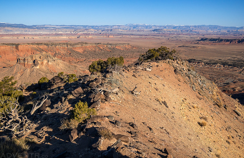
Here’s a view looking over to Cedar Mountain as I hiked up the ridge of East Cedar Mountain.
I followed the ridge to the western highpoint of East Cedar Mountain, but didn’t continue over to the actual highest point since it would have been a loose scramble.
Here’s one final look at East Cedar Mountain before I drove across the Moroni Slopes to an overlook of Segers Hole.
Segers Hole
Looking back towards Chimney Canyon from the Segers Hole Overlook.
The views were getting a bit hazy at this time of the day.
After exploring some of the other backroads in the area, but not really taking many photos, I realized I was going to need more gas for the rest of the weekend, so I took the Cathedral Valley Loop Road back to the highway and got some lunch and gas in Torrey.
Capitol Reef: Trails Around the Cathedral Valley Loop
For the rest of Saturday and early Sunday my plans were to finish driving around the southern half of the Cathedral Valley Loop Road and to hike all of the trails along the way. The last time I really spent any time along this part of the loop was back in 2009, and to be honest, I don’t remember much about that visit, but I know I didn’t do any other hiking besides visiting the overlooks.
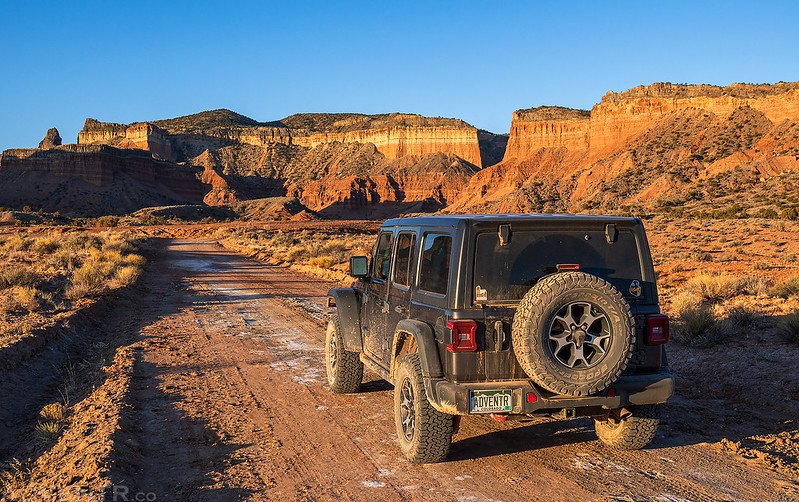
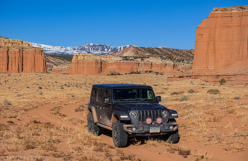
When I was finished in Torrey, I returned to the loop road, crossed the ford of the Fremont River and made my way across the Bentonite Hills.
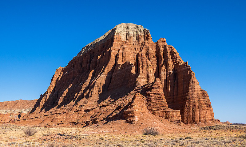
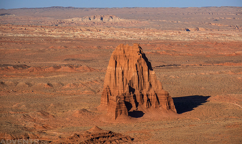
I stopped at the Lower South Desert Overlook and then hiked into the South Desert past Jailhouse Rock to Temple Rock. Although it had warmed up considerably this afternoon, it was pretty breezy out which helped keep me cool.
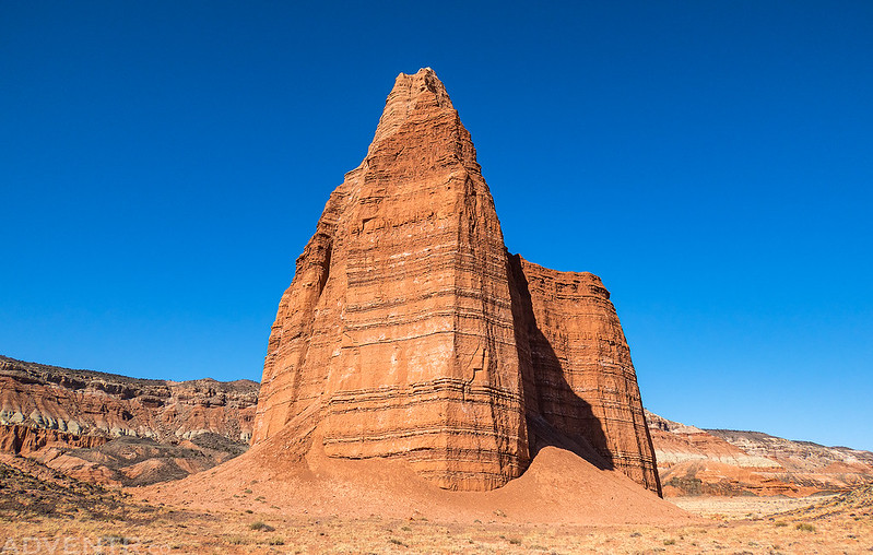
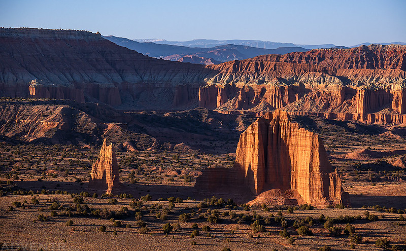
Temple Rock
Jailhouse Rock
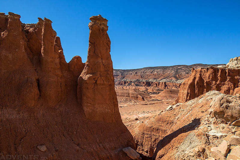
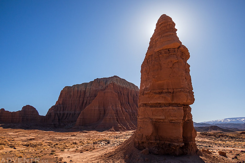
Trailside Spire
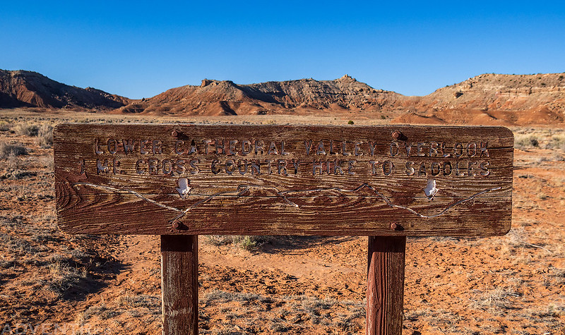
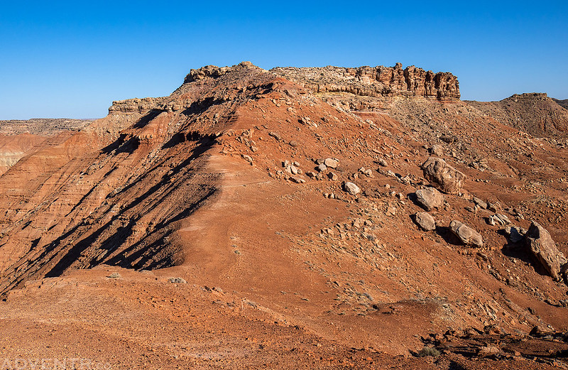
Continuing around the loop, my next stop was the Lower Cathedral Valley Overlook, which consists of two cross-country hikes to two saddles that overlook the Lower Cathedral Valley. Since I was running short on time I only hiked to the western saddle this time.
The West Saddle
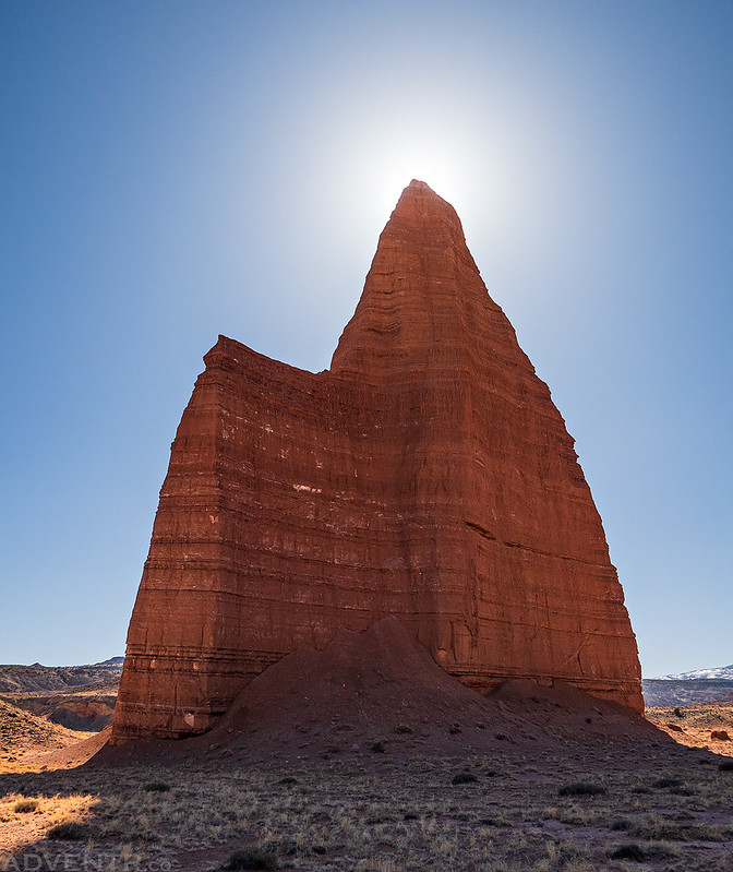
From the saddle I could see the Temple of the Sun and part of the Temple of the Moon, but I really didn’t feel like the views from up here were that great.
After continuing my trek across The Hartnet I made a short visit to the Upper South Desert Overlook.
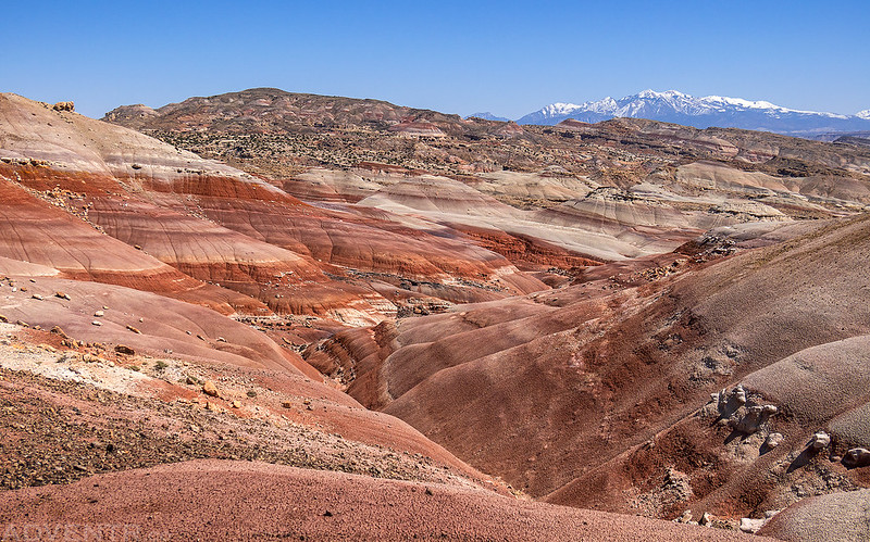
I love this expansive view over the South Desert to the Henry Mountains with the Waterpocket Fold gently rising to the west.
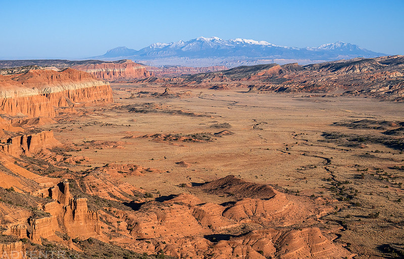
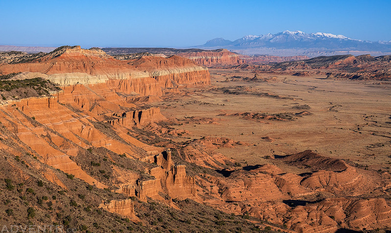
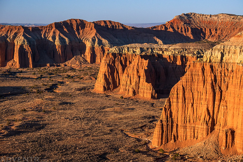
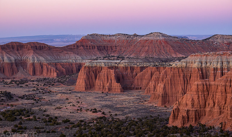
I made it to the Upper Cathedral Valley Overlook just in time to catch the sunset.
Upper Cathedral Valley at Dusk
I drove through the Cathedral Valley Campground just before dark, but as I expected, all of the sites were occupied on a Saturday night, so I left the park and found a place to spend the night on the Rock Springs Bench.
After a second good night of sleep I returned to the park at dawn so I could finish hiking the remaining trails of the Cathedral Valley District.
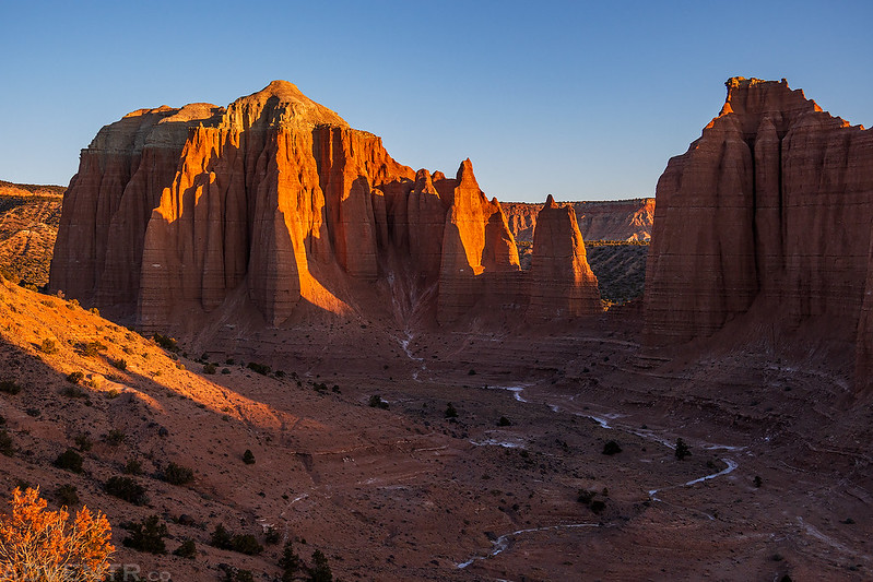
I started hiking up the Cathedrals Trail shortly after sunrise.
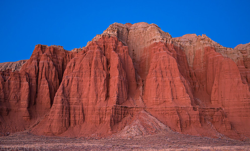
Cathedral Light
I loved the views of Needle Mountain and Cathedral Mountain from this trail, but I think the light would be better in the late afternoon.
The trail ends at a highpoint with an expansive view of the surrounding landscape.
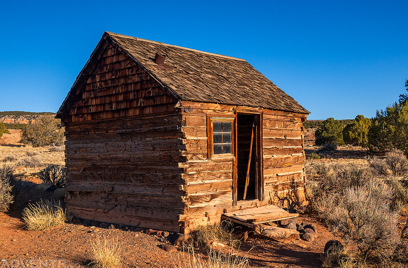
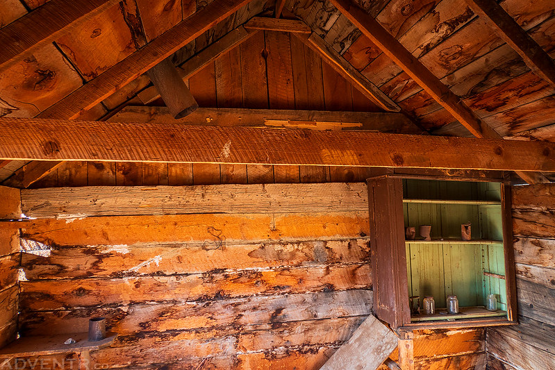
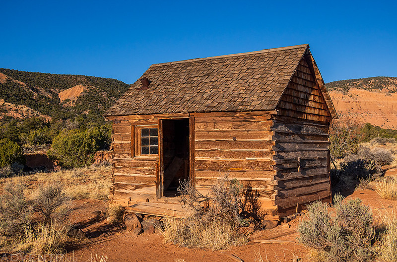
Before leaving Capitol Reef, I went on one last short hike to the Morrell Line Cabin.
Green River Cutoff: Back Across The Swell
After hiking all the trails along the Cathedral Valley Loop it was time to start making my way over to Green River, but I had plenty of time to take a scenic route across the Swell with a few other stops along the way.
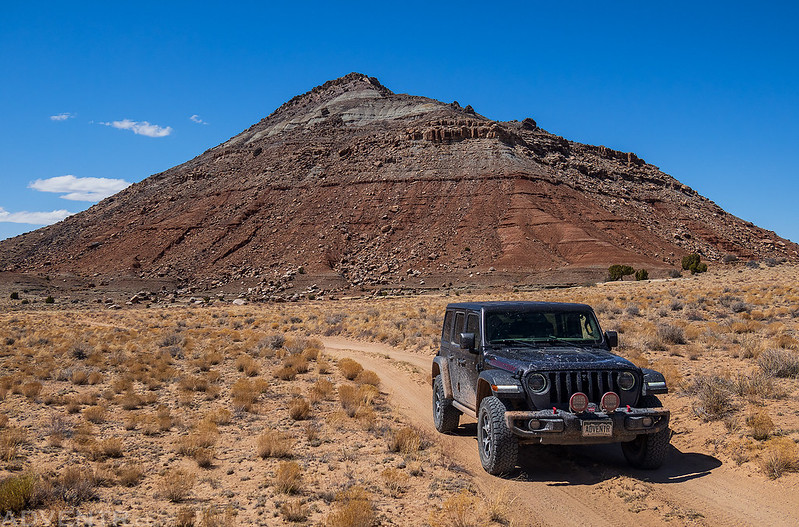
I started out by exploring a couple of dead-end roads in the Last Chance Desert, just to see where they went…
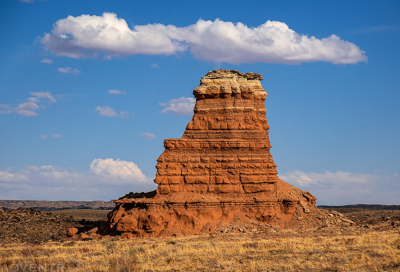
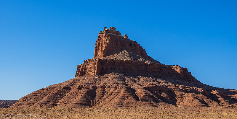
Solomons Temple
Then it was back across Mussentuchit Flat to the Lone Tree Wedge.
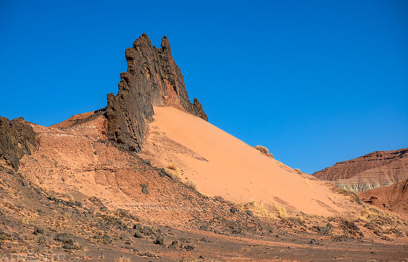
Mussentuchit Sand Dune
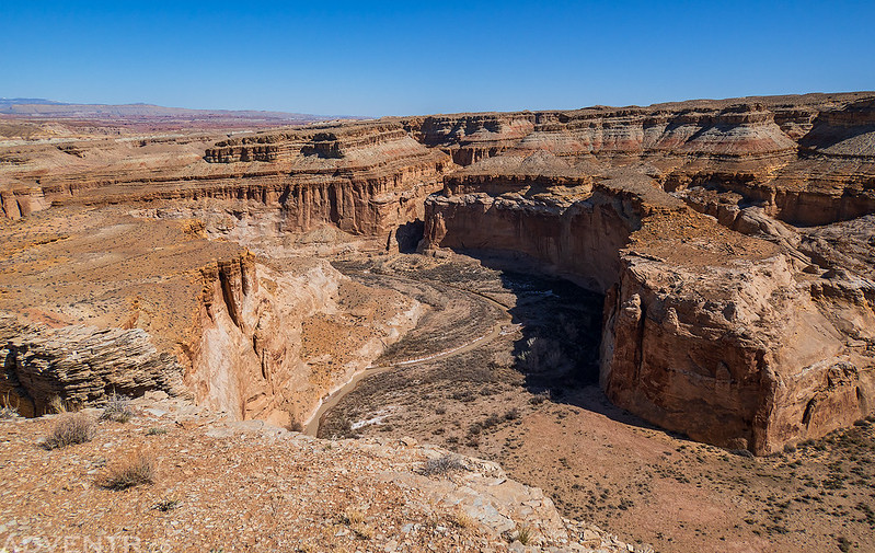
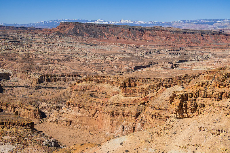
I followed some very dusty roads across the desolate landscape of the Lone Tree Wedge to a couple overlooks of Muddy Creek.
Looking back across the landscape to Hebes Mountain.
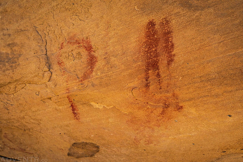
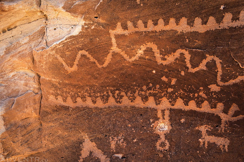
As I made my way north again, I stopped to visit these little red pictographs.
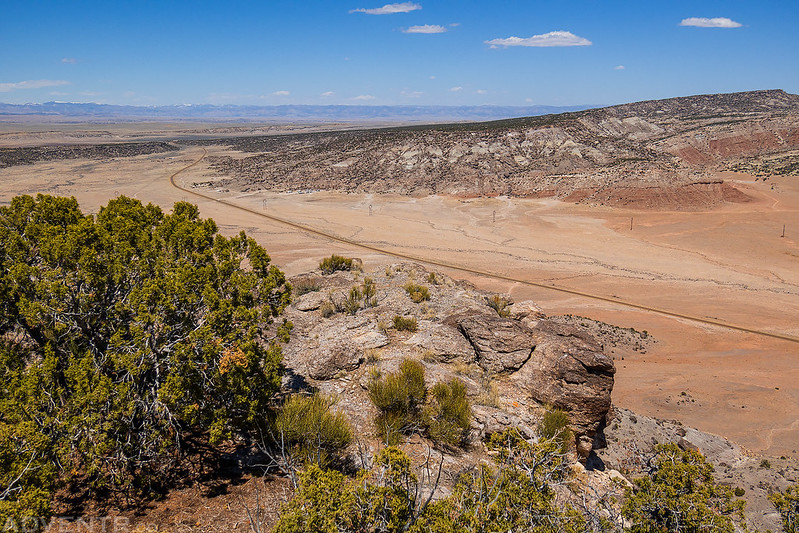
I grabbed a late lunch in Castle Dale and then drove to the top of Little Cedar Mountain as I made my way across the Green River Cutoff.
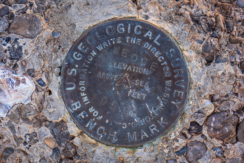
Wedge, 1952
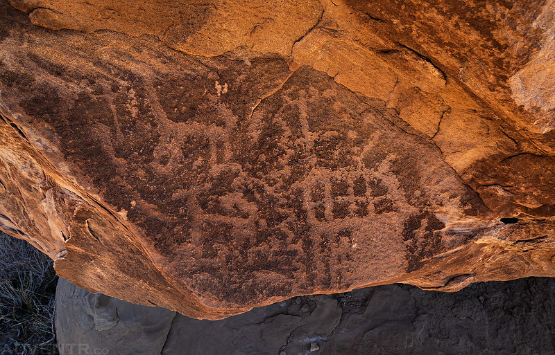
I stopped to check out a large boulder covered with petroglyphs at the base of the mountain.
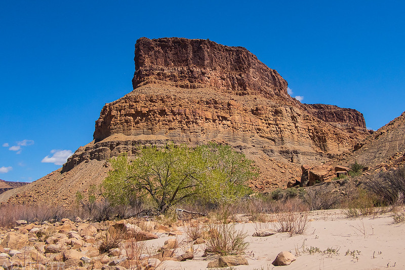
Little Cedar Mountain
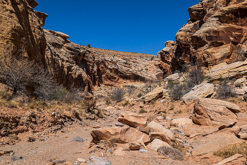
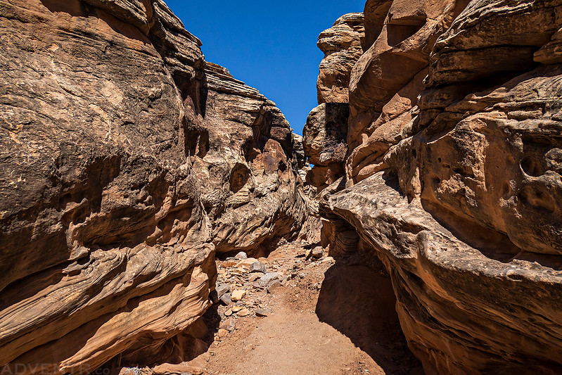
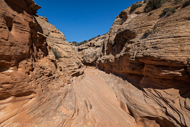
I had enough time for one last short hike, so I made my way up Furniture Draw from Buckhorn Wash.
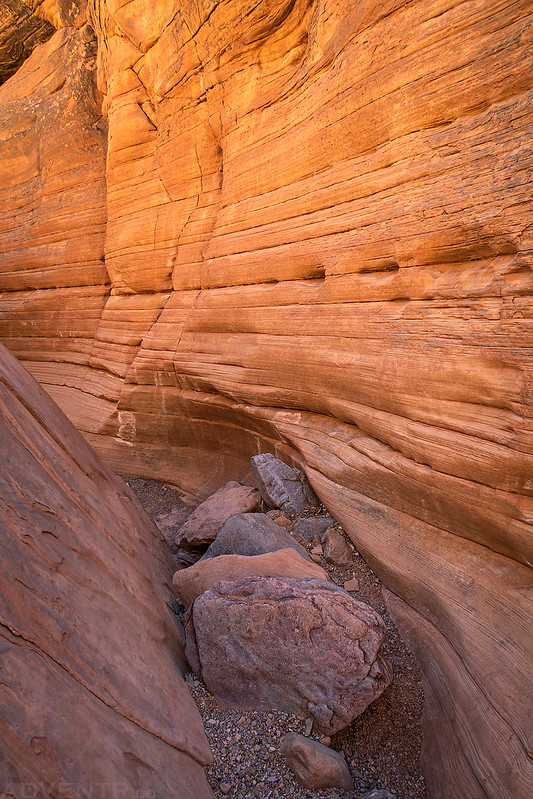
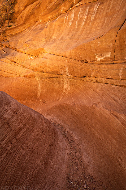
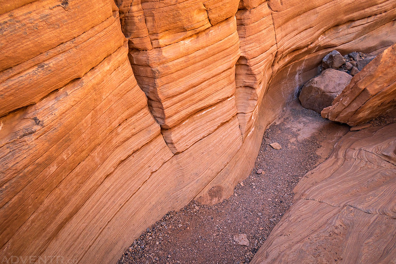
Furniture Draw Narrows
The light wasn’t great at this time of the day, but there was one little slot that had some nice reflected light…
Hiking back out of Furniture Draw.
I made one last detour out towards the base of Chimney Rock before I finished the drive into Green River.
Green River Daily: Swiftwater Rescue Training
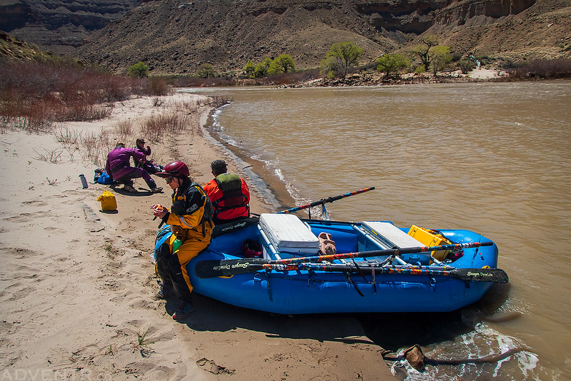
Although I was too busy during the class learning to tie knots, swimming through rapids and throwing throw bags (among other things), to take photos, I did snap a couple on Monday morning before the class started and then on Tuesday afternoon during our lunch break.
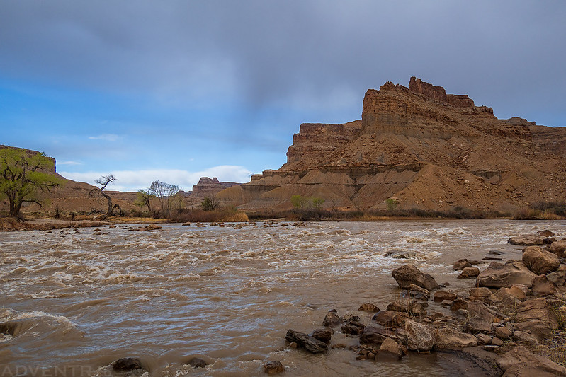
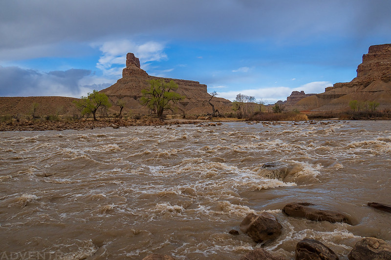
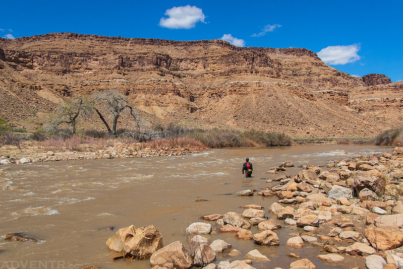
Here are two shots of Swaseys Rapid on Monday morning, which we would later be swimming through a couple of times.
Lunchtime on Tuesday
Green River Daily
I caught Jackson eating his lunch next to the river.
Butler Wash Point
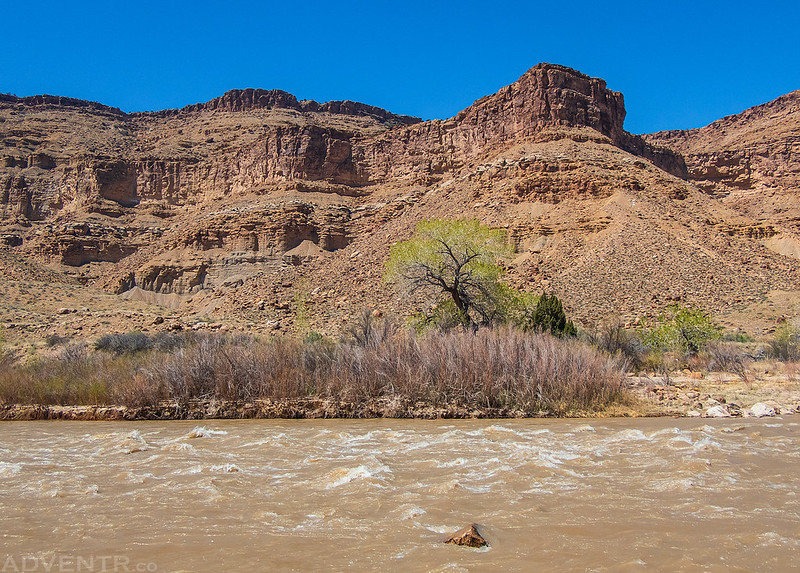
Butler Rapids








Superb photos and narrative, as always. We were just there a few weeks ago at Buckhorn Wash, the Green River Cutoff, and later at Sego Canyon. From your great post I can see I have a lot more exploring to do in the Swell! Thanks!
Thanks Randy!