Henry Mountains Peak Bagging | Friday – Sunday, June 17-19, 2022
After spending the last two weekends on the river, it was time for me to start off my summer season up in the mountains since it’s been getting pretty warm down in the desert. For the past couple of years I have started my mountain season in the La Sal Mountains, but this time I decided to change things up and spend the weekend in the Henry Mountains instead since I haven’t spent any real time in that range for quite some time and I’ve been wanting to get back. This time I invited my friend Jared along, and even though I warned him I would probably be hiking very slow this weekend since I haven’t done much real hiking lately- especially at elevation, he still wanted to come along, so we planned to meet at Wickiup Pass after work on Friday evening.
I left after work on Friday afternoon and made my way to Hanksville to top off my gas tank. The wind was blowing hard this afternoon and it killed my fuel mileage, plus it was blowing a lot of dust around. Even though the weather forecast was calling for some big storms in the mountainous areas of the Four Corners region this weekend, it looked like most of it was going to miss this part of Utah, but we were still supposed to get strong winds all weekend and maybe some rain.
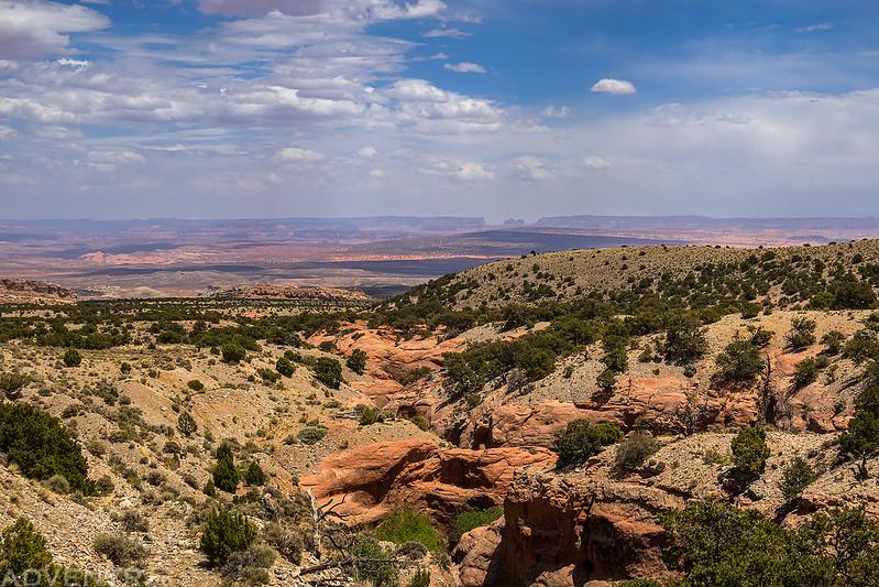
I had plenty of time before I was going to meet up with Jared, so I did a little exploring in the badlands before heading up into the Henrys.
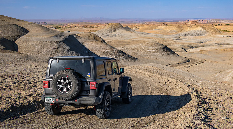
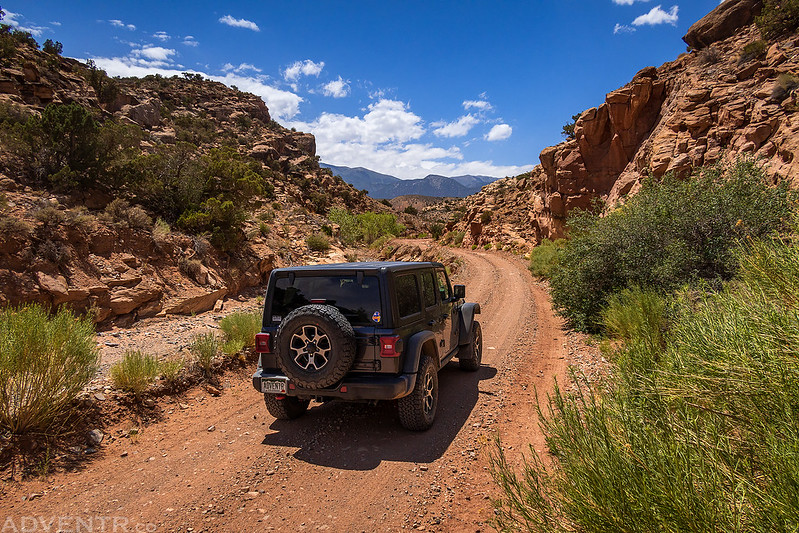
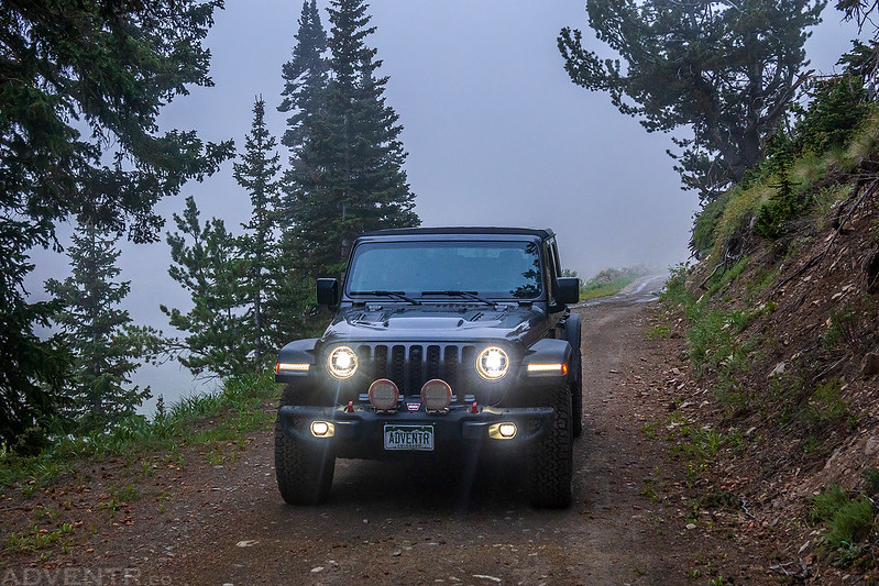
I finally got my Jeep registered before this trip, so now it is officially the ADVENTR Jeep!

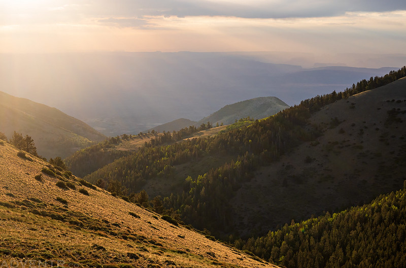
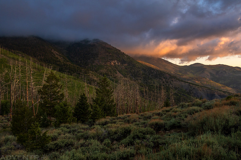
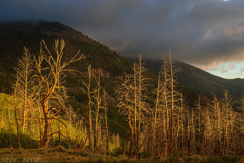
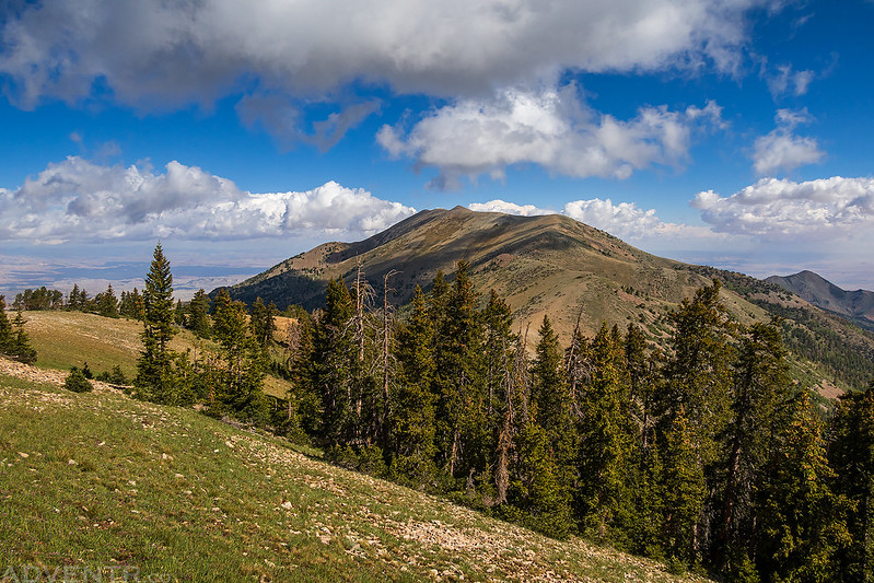
Heading up into the Henry Mountains.

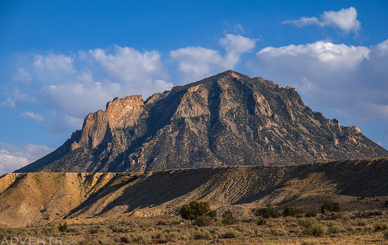
Bull Mountain
Which way to go?
There was a nice campsite at Wickiup Pass, so I stopped there and waited for Jared to arrive.

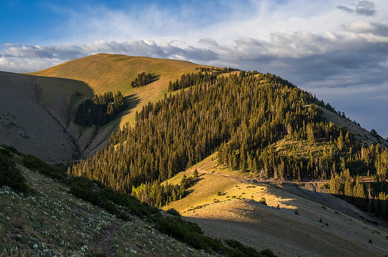
I hiked up to the top of a nearby high point to watch the sunset.
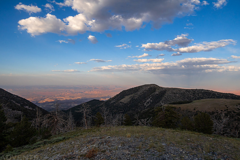
Although it wasn’t too windy up here, I could see the dust blowing around across the desert below.

Wickiup Pass Sunset
Jared showed up after dark and after catching up we quickly went to sleep since we planned to get an early start in the morning. Overnight there were some occasional loud gusts of wind and a couple drops of rain, but most of the time it was calm.
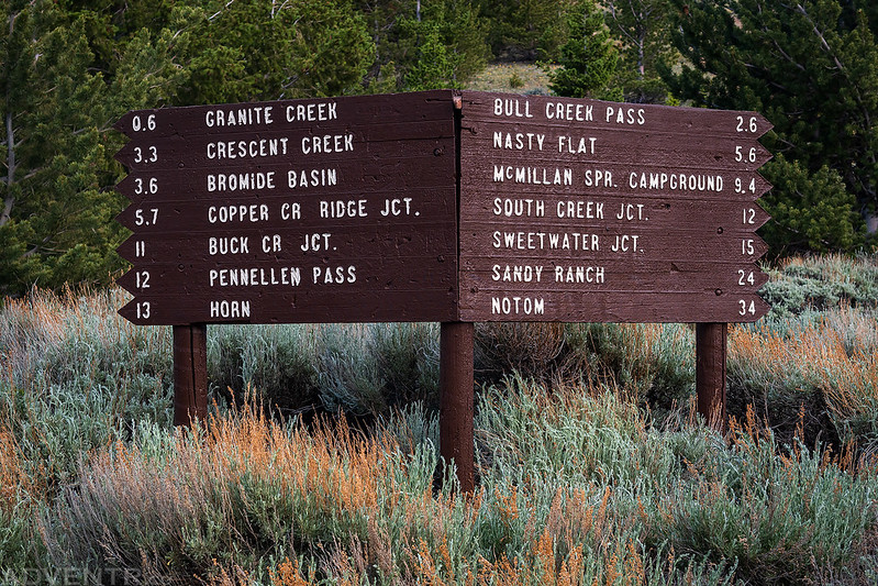
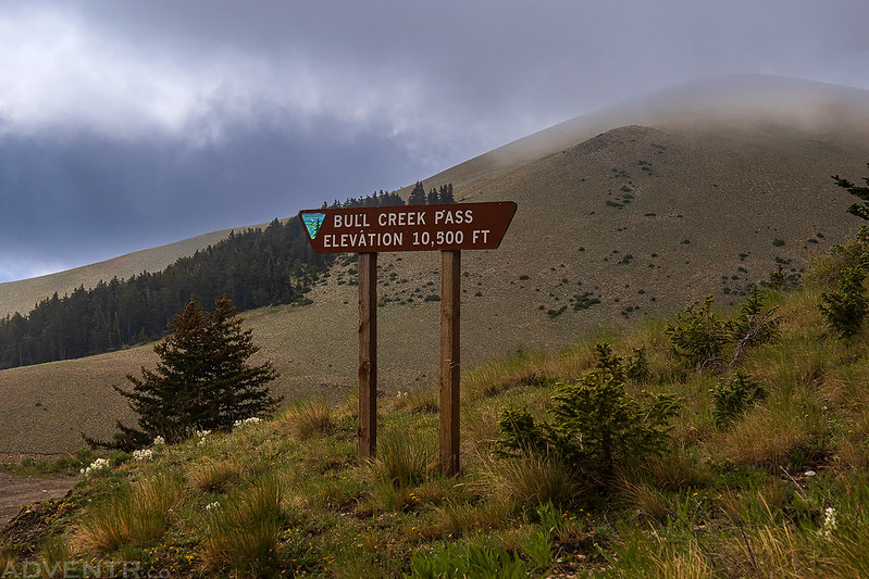
We woke up before sunrise on Saturday and drove up to Bull Creek Pass to begin our first hike to the summit of Mount Ellen, which is the highest peak in the Henry Mountains and Garfield County at 11,522 feet. Although both Jared and I had hiked to the summit of Mount Ellen before, it was a long time ago and I didn’t really remember it well, plus I wanted to hike out all the way to Mount Ellen Peak this time, which neither of us had done before.
Although this photo might look calm and serene, let me assure you that it was very windy out this morning, and these were very likely the strongest winds I have ever hiked in.
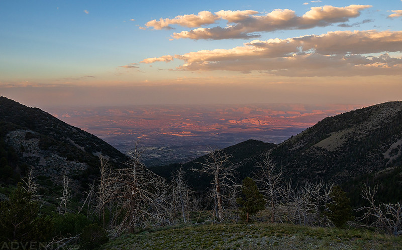
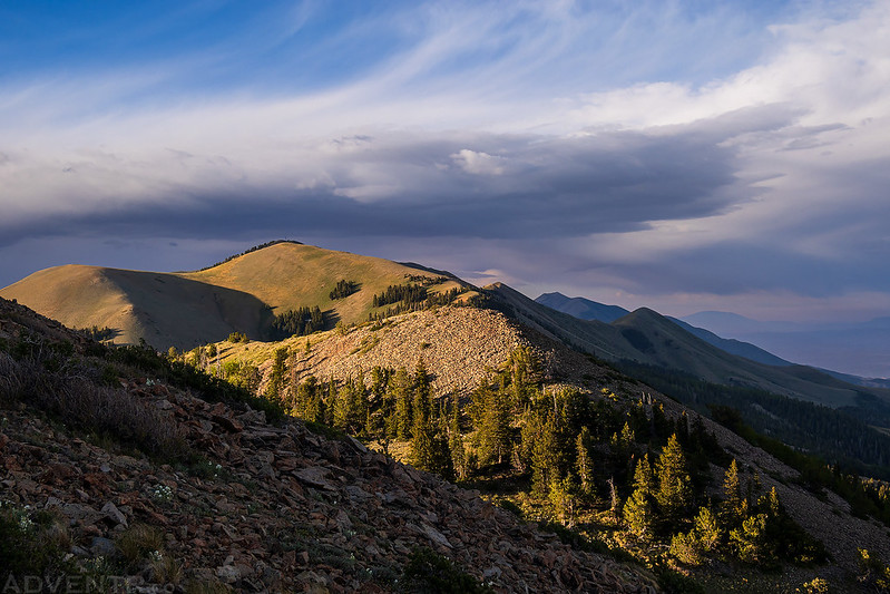
There was some nice light filtering through the clouds to the east.
Spotlighting on the landscape below.

Aside from the strong winds, it was a beautiful morning out!
Looking back to our Jeeps parked at Bull Creek Pass below the South Summit Ridge.
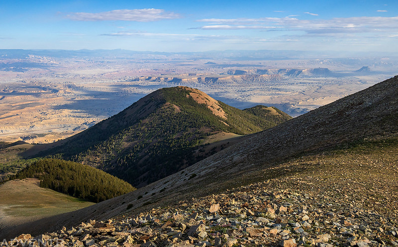
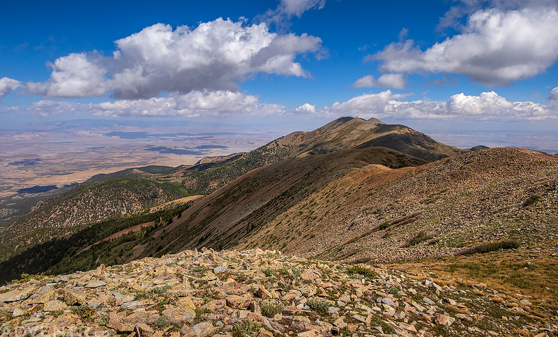
I always love looking down on the shapes of the desert below from these high vantage points.

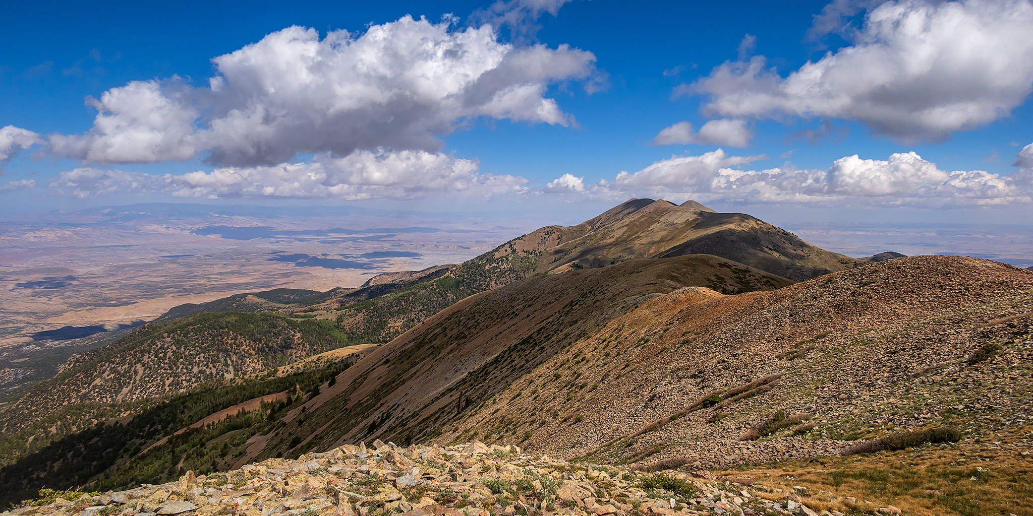
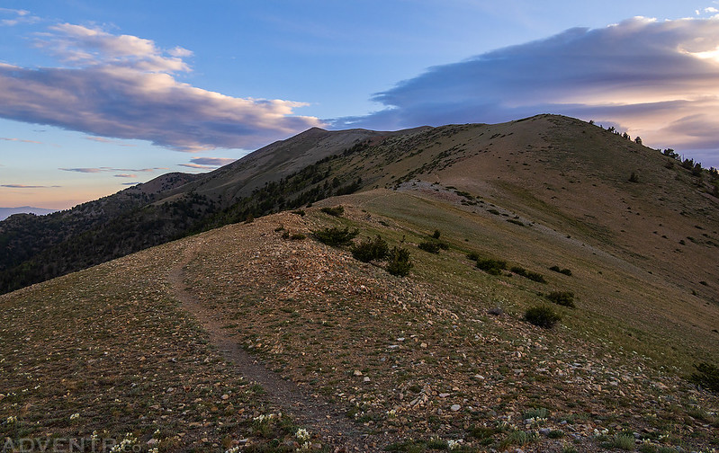
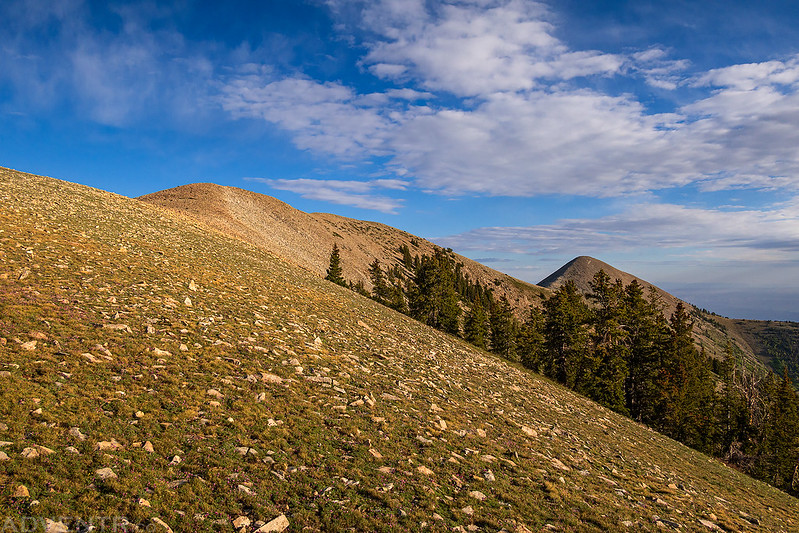
The South Summit Ridge
Once the trail reached the top of the ridge we dropped below on the east side to get out of the wind where the hiking was a bit more comfortable and pleasant.
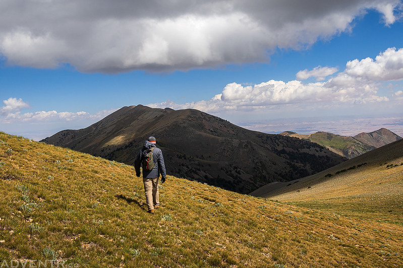
On the ridge again looking over the top of the South Summit Ridge to Mount Pennell.

Once we reached the summit of Mount Ellen, it was time to continue further north to the summit of Mount Ellen Peak.

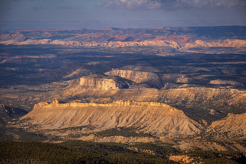
Looking down over Deer Heaven to the Caineville Mesas and Factory Butte.
A closer look…

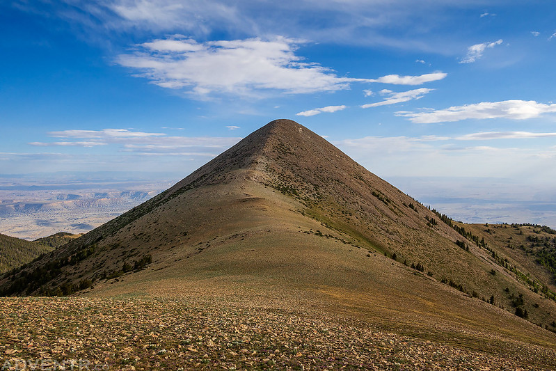
Mount Ellen Peak (11,506)
Looking back at the North Summit Ridge from near the top of Mount Ellen Peak. This is where we encountered the strongest winds of the day- it was pretty brutal!
View from the summit of Mount Ellen Peak. I could barely hold the camera still in the wind and we had to take shelter behind some windbreaks while we were up there.

Looking down to the East Saddle from the north side of the peak where it was a bit less windy.

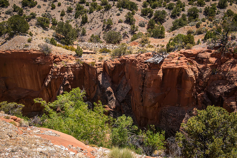
We returned back to Bull Creek Pass by hiking over Mount Ellen again and the wind never let up the entire time! We had hiked just over 6 miles with 3,300 feet of elevation gain in less than four hours, so I guess I wasn’t in as bad of shape as I thought, but my legs were still pretty tired. We returned to our Jeeps and then went on a little counter-clockwise drive around the South Summit Ridge with a stop at the McMillan Springs Campground for lunch. Once we were back on the east side of the mountains we followed the Crescent Creek Road down to Lecleed Spring to do a little exploring.
A dusty view from the edge of Crescent Creek to Gunsight Butte and Sunset Pass. Diane and I spent a nice night there back in 2015.
The remains of an old bridge across Crescent Creek.
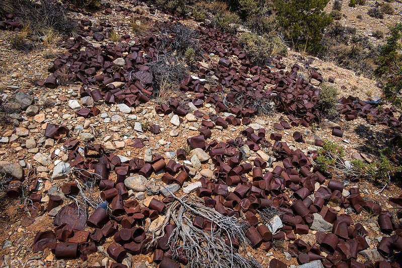
Lots of old cans.
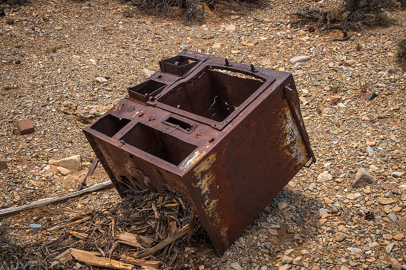
Old stove.
A little further down the creek we checked out this log cabin.


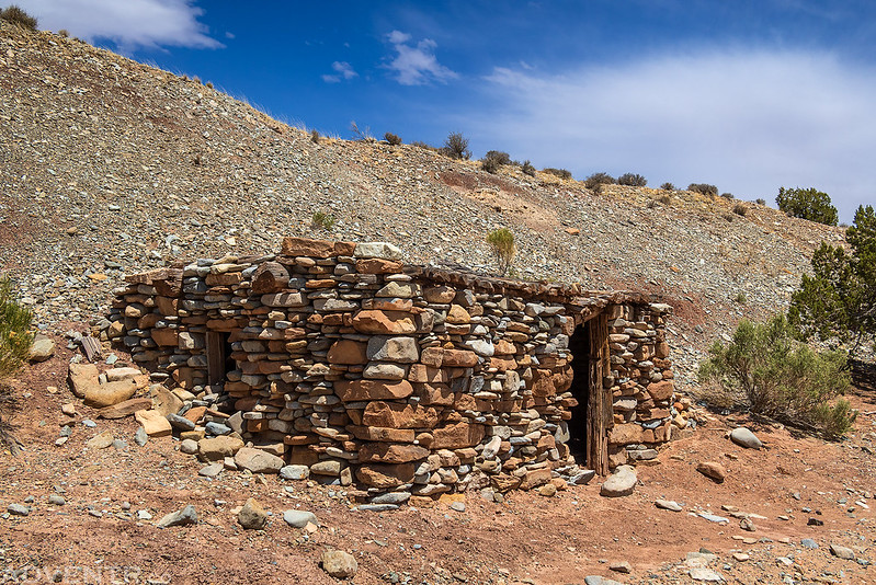
Then we visited this stone cabin.

Driving up the Crescent Creek Road back into the Henry Mountains.
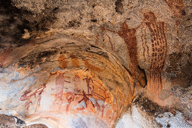
Before finding another campsite, we took a detour and revisited the Hollow Boulder Panel.

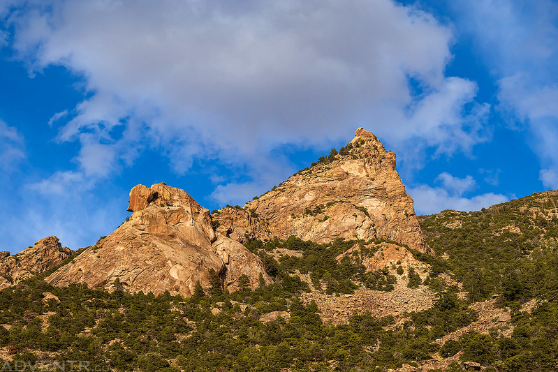
Rock Point & Clouds
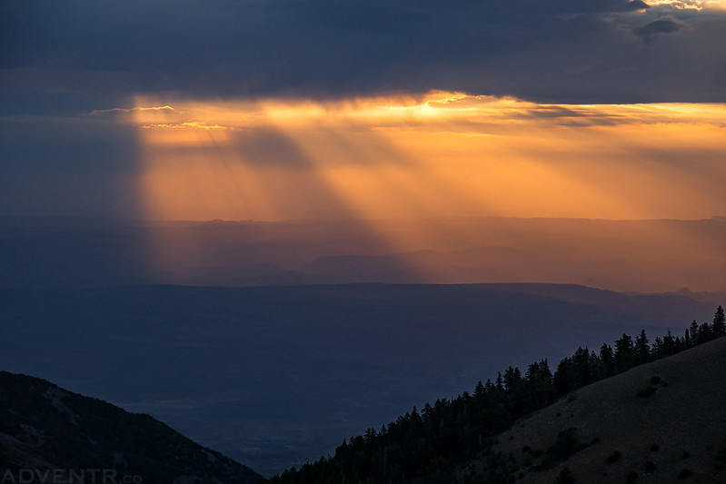
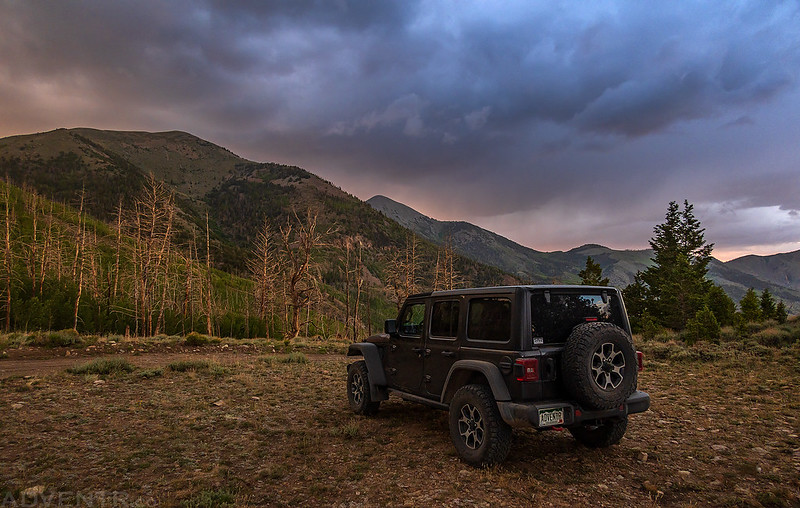
Shortly before sunset we found a different campsite just above Wickiup Pass and settled in for the night as there was a little lightning, thunder and rain, but not much of a sunset…
We went to bed early again, but I didn’t sleep too well this night because there were a lot of flashes of lightning, rain, hail and lots of gusty wind overnight. Even though we were in a pretty sheltered area from the wind, it was still very loud and kept me up. It was still windy when we got up on Sunday morning, but at least there was a nice sunrise to watch!


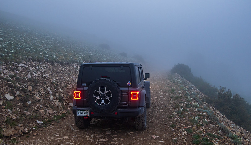
Once the light show was over we drove into the clouds on our way back up to Bull Creek Pass.

When we arrived at the pass it was very windy and socked in the clouds. We had planned to hike to the top of the South Summit Ridge this morning, but we decided to wait a while to see if the clouds would clear out so we could actually see something, so we drove down to South Creek Ridge to wait it out.
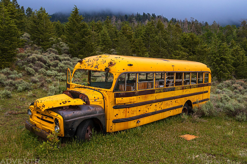
I had spotted this school bus from above the day before and figured that since we had time to kill, we should go check it out.
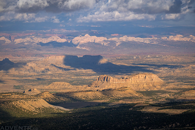
The views from South Creek Ridge were outstanding this morning and the wind was brutal!

After waiting for a bit, we noticed that the clouds above the peaks were finally starting to clear out, so we headed back up to Bull Creek Pass again.

Once at the pass, we started climbing up the steep ridge behind the sign which follows another part of the Hayduke Trail.
Looking back to the North Summit Ridge.

We were able to mostly stay out of the strong winds by keeping below the ridge on the east side.


Of course, we had to battle the wind when we reached the summit.

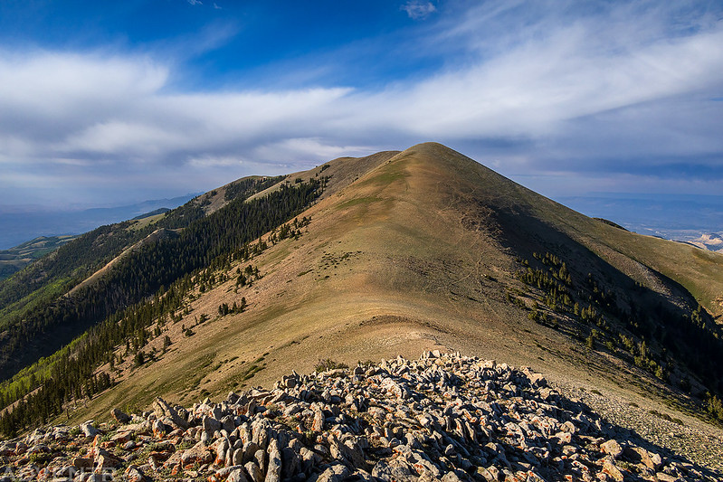
Looking north along the crest of the Henry Mountains.
The clouds were a little darker looking the other direction. I had hoped to try to hike Kimble and Turner Peak next, but the wind was just too strong for me to want to try that ridge-walk today, so that one will have to wait for another time.

Jared headed back down to the pass ahead of me.
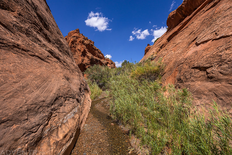
Although I had Monday off from work and had planned to stay another day, I decided that I had had enough of the wind this weekend and would head home early with Jared, since he was always planning to head home today. On our way back down from the mountains we stopped for another short hike in the narrows of Crescent Creek, but were quickly stopped by a waterfall that we couldn’t climb up. Then I stopped at Little Egypt to eat a quick lunch before we parted ways and started the drive home.
Walking up the narrows of Crescent Creek.

Leaving the Henry Mountains behind. I will definitely not wait as long as I did last time to return!

Fantastic. Visited as far as Eagles Landing before but we missed a lot. Must return, thanks
Amazing photos. How are the roads, the husband and I are thinking of taking a low key ADV bike ride down that way and wanted to use the back roads. Are they 4 wheel drive high clearance or can they be traversed by a Subaru or SUV?
You’d probably be fine with a Subaru on most of them as far as clearance goes, but you might like to have a low range for the steeper grades.