Dirty Devil Daily | Buck Canyon, Pasture Canyon & Beaver Canyon
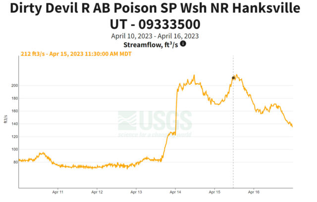
Friday – Sunday, April 14-16, 2023 | Average CFS: 210
As we go down to this point we discover the mouth of a stream which enters from the right. Into this our little boat is turned. The water is exceedingly muddy and has an unpleasant odor. One of the men in the boat following, seeing what we have done, shouts to Dunn and asks whether it is a trout stream. Dunn replies, much disgusted, that it is “a dirty devil,” and by this name the river is to be known hereafter.
Major John Wesley Powell,
July 28, 1869
This weekend I had been hoping to go on a short packrafting loop with Jared on a stretch of the Dirty Devil River so I could get a little taste and feel for that particular river before committing to a longer trip in the future, but during the preceding week I was getting a little disappointed to see the water levels drop below 100cfs, which was my absolute minimum level for attempting this trip. On Thursday afternoon when the water levels still had not come up, I figured that the packrafting trip was not going to happen this weekend and we started making alternate plans for an overnight backpacking trip into another canyon of the Escalante River. To my surprise, later on Thursday evening the Dirty Devil jumped up to over 200cfs, so we put those backpacking plans on hold and kept an eye on the water levels all day Friday hoping they would hold. When I left work on Friday afternoon the level was still staying up, so Jared and I planned to meet at a campsite near Hanksville and we would make a final decision on Saturday morning dependent upon what the river did overnight. We brought our backpacking gear along with us just in case we had to change plans again.
I left from work on Friday afternoon and made my way over to Hanksville. Although we had received quite a bit of rain in Grand Junction during the morning, the storms had cleared out by the time I was headed into Utah. There was almost no wind when I left, but as soon as I got closer to Crescent Junction and Green River the wind picked up significantly, which definitely affected my fuel mileage for the rest of the drive. There was a lot of blowing dust across the San Rafael Desert as I made my way from Green River to Hanksville. After topping off my fuel tank I still had a few hours until sunset, so I decided to drive down to the mouth of Dry Valley Wash to get a closer look at the Dirty Devil River.
The Dirty Devil looked a bit shallow from the mouth of Dry Valley Wash, but there was a group with stand-up paddle boards, a small inflatable kayak and even a canoe that had their gear ready to get on the river.
Next I drove the sandy roads to an overlook between the Upper and Lower Sand Slides for a different view over the river.
Then I headed across the mesa to check out the view from the top of the Angel Trail.
Finally, I found a campsite at the top of the Lower Sand Slide, let Jared know where I was and watched the sunset.
I listened to a few podcasts as I waited for Jared to show up, who rolled into camp around 9:30pm. I was getting tired by that time, so we caught up quickly and then both went to bed early. It was still very windy out, especially since we were on top of the ridge, but the weather forecast was correct and the wind finally died down after midnight sometime.
A Little Taste of the Dirty Devil River
I woke up to my alarm early on Saturday morning so I could check the water level and see what it had done overnight. I was a little concerned when we went to bed on Friday night because the level was slowly dropping, but I was happy to see it was already starting to climb this morning. Our packraft loop was a go! After getting our gear packed up and ready, we drove Jared’s Jeep to the trailhead at the top of the Angel Trail and then returned to the Lower Sand Slide in my Jeep. We hiked down the sand slide to the edge of the Dirty Devil River and got our packrafts ready to go. Our little loop would take us above five miles down the Dirty Devil to the bottom of the Angel Trail, and we planned to stop and explore a couple canyons along the way.
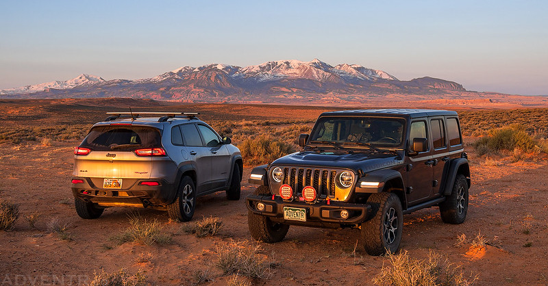
Saturday morning in the Hell Hole Swale with a nice view of the Henry Mountains.
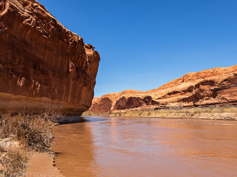
Approaching the Dirty Devil River at the bottom of the Lower Sand Slide.
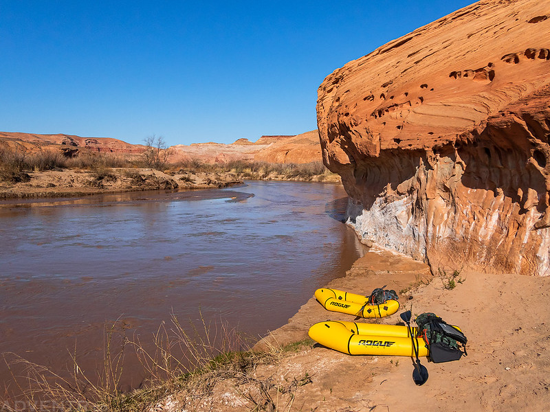
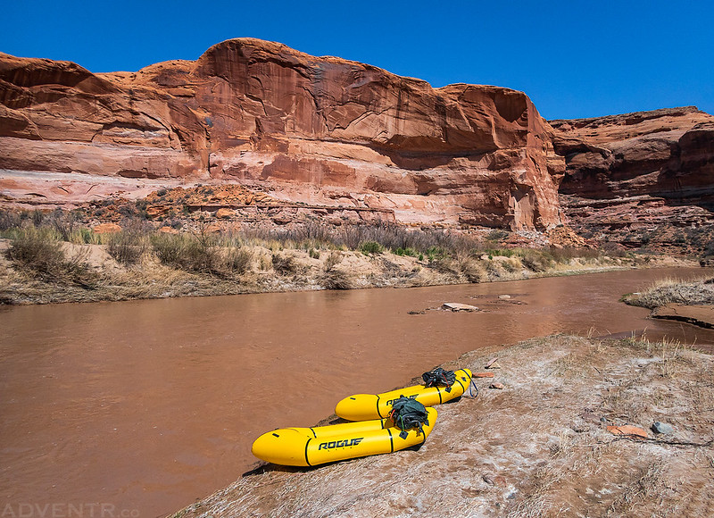
Our packrafts ready to go. We would have to walk through that mud to get to the water…
This would be Jared’s first time on a packraft, and his first time in a long time on any kind of river trip.
We didn’t float very long after getting on the water since we stopped to do some hiking around the mouths of Buck Canyon and Pasture Canyon which were right across the river.
Searching for rock art and historic inscriptions along the way…
Here’s a look back across the river to the Lower Sand Slide that we had hiked down.
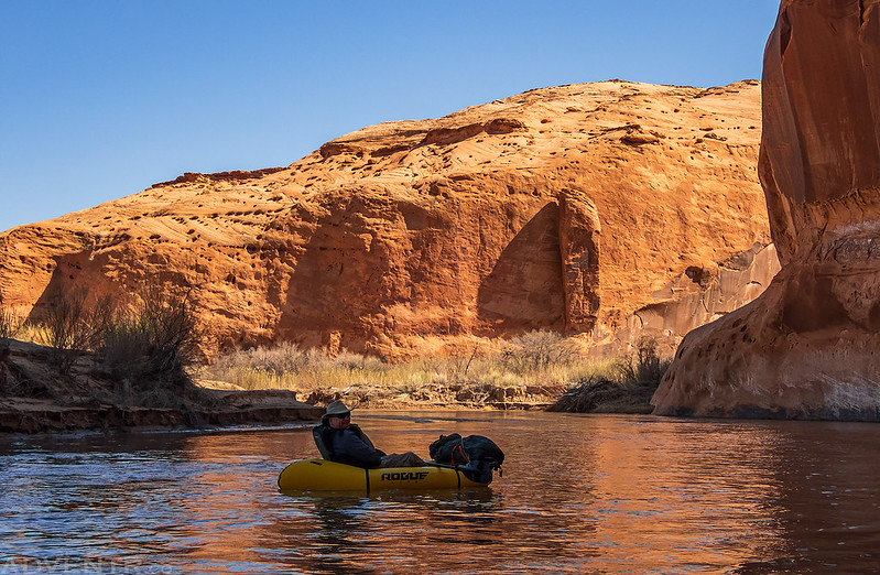
Jared on the Dirty Devil
At first we didn’t have too many problems with the floating and thought things would go pretty smoothly for us…
Unfortunately, things didn’t continue to go that well, especially for me. I knew that we were going to hit the bottom of this shallow river quite a bit and would have to walk our boats at times. Normally, that’s no problem for me, but what I wasn’t expecting was the soft quicksand below the shallow water that would quickly come up to my knees and make walking my boat a lot more difficult. Jared had an easier time since he is not as heavy as I am, but I was constantly bottoming out and having to try to walk my boat to find a deeper channel. After a while it became a struggle to keep getting in and out of the boat and I was getting pretty frustrated. I don’t think I would do this stretch of the river again without a lot more water!
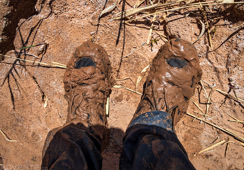
Dirty Devil Mud. You would not believe how much sand was inside my shoes and neoprene socks when we did finally reach the Angel Trail!
Once I started getting frustrated I didn’t take many more photos until we were hiking out.
We stopped frequently to rest after walking our boats through the quicksand. It was exhausting!
Our final stop before the end of the float was to explore a very large alcove across from the mouth of Robbers Roost Canyon.
While hiking through the alcove I came around a boulder and almost ran into this gray fox that was coming the opposite direction. We both startled each other!
After a little more floating/walking down the river, we finally made it to the bottom of the Angel Trail at the mouth of Beaver Canyon.
After letting our gear dry out for a while, getting the ample sand out of our shoes and socks, and packing everything back into our backpacks- we started hiking up the Angel Trail.
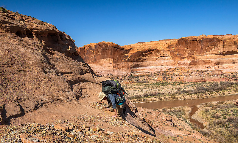
There was one sketchy ledge that we had to climb up that gave me pause, but I was eventually able to climb up it without my pack on.
Hiking across the sandstone of the Angel Trail on a warm afternoon.
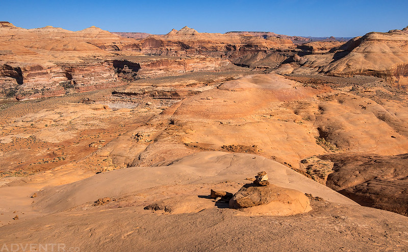
The sun was warm, but the views were nice.
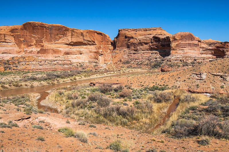
Here’s one last look at a bend in the Dirty Devil that we had floated/walked around.
After returning to the trailhead and picking up my Jeep, we headed into town for some dinner and then returned to a different campsite in the Hell Hole Swale at sunset.
Robbers Roost Canyon Overlook
After another good night of sleep we got up before sunrise and drove over to a nearby trailhead so we could go on a short hike to an overlook above the Dirty Devil River right across from Robbers Roost Canyon. The overlook is actually just above the large alcove we had stopped to explore the previous afternoon.
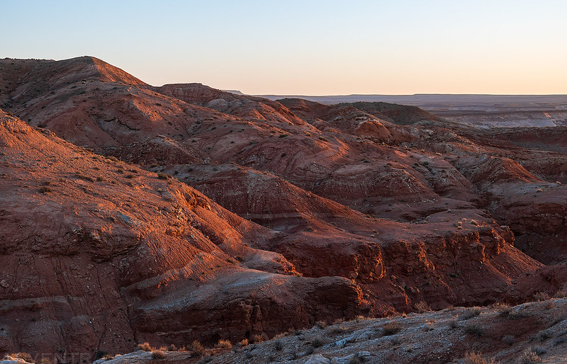
Early morning light on the hills as we started our hike just after sunrise.
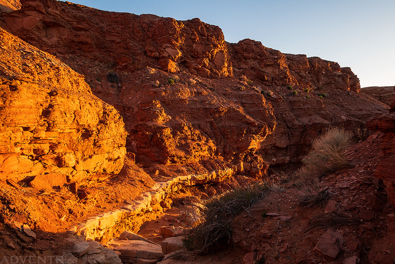
We took a brief detour into Angel Canyon along the way. The light was spectacular!
Angel Canyon
The morning light was beautiful across the light-colored sandstone of the surrounding landscape.
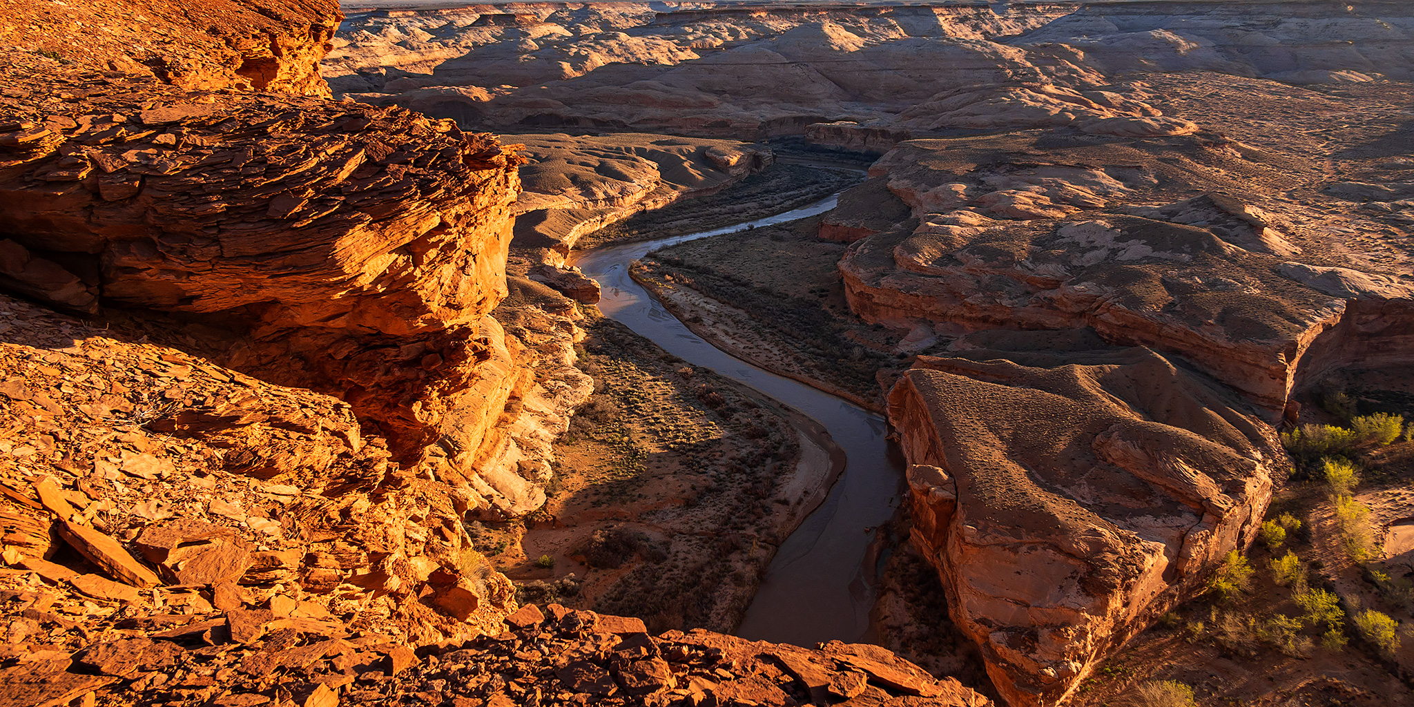
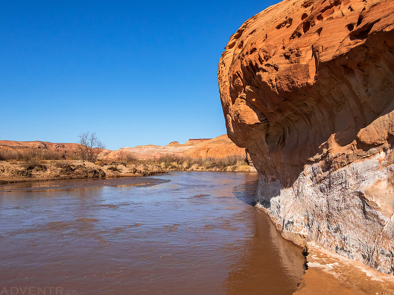
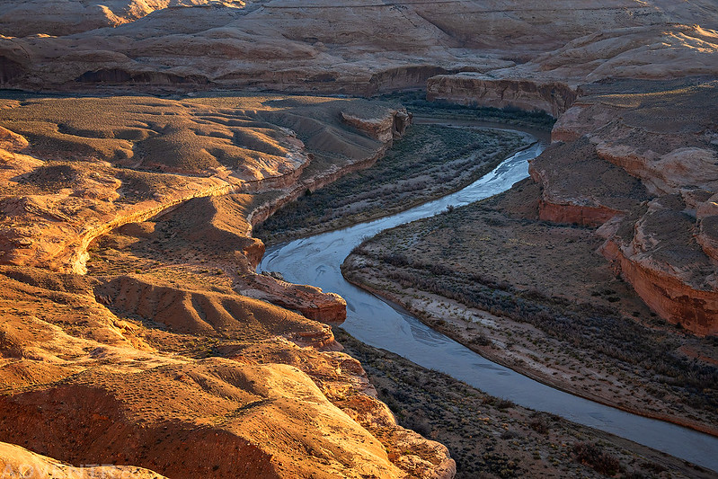
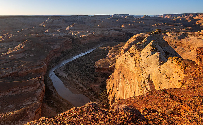
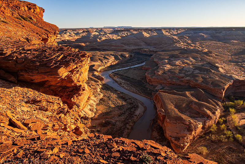
As we neared the edge of the canyon we could look down upon the Dirty Devil River.
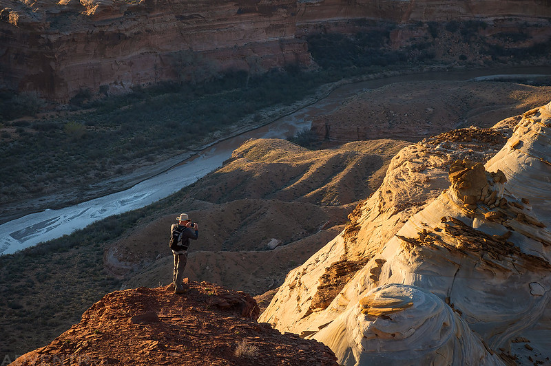
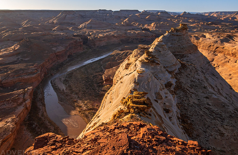
Jared climbed down to a point for a different view.
It was a lovely morning above the Dirty Devil River.
Can you spot Jared in this shot?
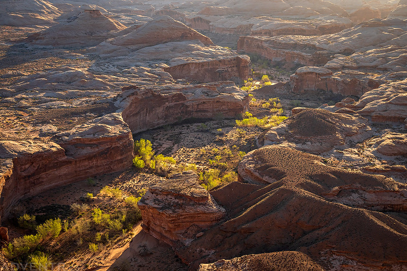
Looking down into Robbers Roost Canyon. It looks like the cottonwoods are starting to turn green.
Hiking back to the trailhead and then we headed home early.
Rock Art of the Dirty Devil River
While floating down the Dirty Devil River, we made a couple stops to search for rock art and historic inscriptions along the way. Here are a couple photos of the panels we visited.
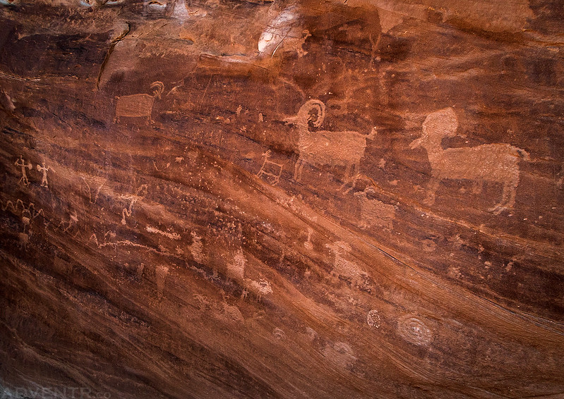
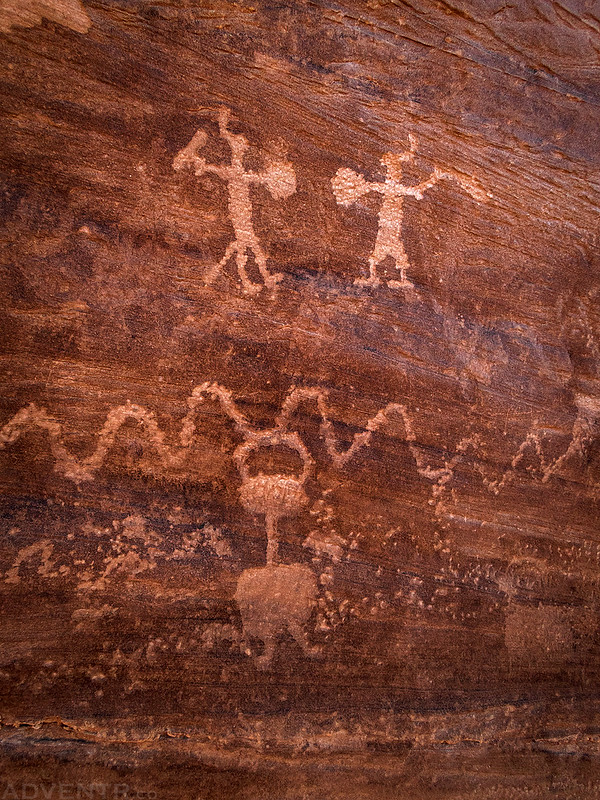
This was the largest petroglyph panel we saw all day.
Fighting Men Petroglyphs
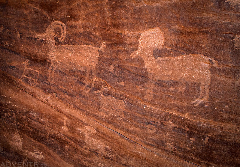
A closer look at the two large sheep petroglyphs.
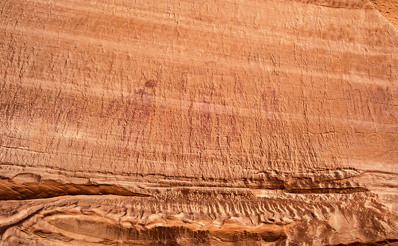
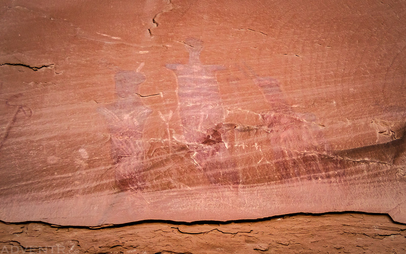
If you look closely, you might be able to see the very faded Barrier Canyon Style pictographs in this photo.
Disappearing Petroglyph
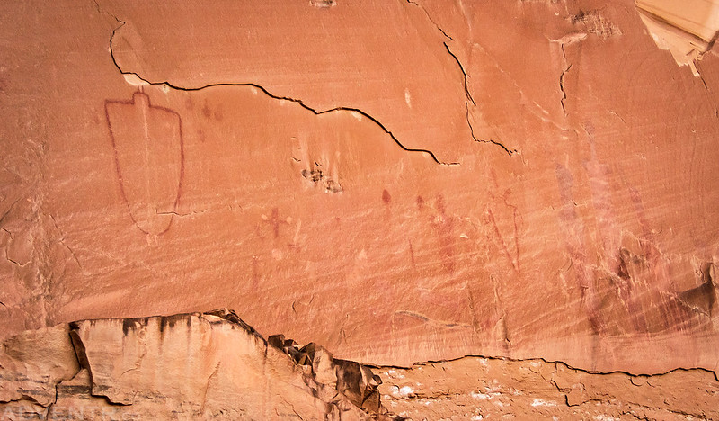
Here’s another large panel of Barrier Canyon Style pictographs.
These three figures on the right side of the photo above were pretty tall.
These were certainly the most unusual petroglyphs we came across today!





















As always thanks for the post. We just did our first trip into the Maze, plans changed three times because of the weather, but we ended up coming out via the Poison Spring Creek Rd with the Dirty Devil crossing – so it was fun to read this post. I love the encounter with the grey fox, lucky you. We had paw prints in our camp Monday night, I thought coyote, but they did seem smaller, so maybe a fox. Love the added adventure with the packrafts!
A true 21st century explorer of the South West! Since you have so much experience with crossing creeks & rivers in the south west wonder if you could tell me what hiking shoes you prefer for this challenge. Regular hiking shoes just weigh you down with pounds of mud! Not looking for endorsements just your thoughts – your my kind of hiker. Could Keen sandals be a good option? Thanks in advance.
I prefer to wear my normal hiking shoes when I am hiking in rivers.
Another fine trip report! That first image of Jared floating lazily down the river had me thinking- “now that’s a relaxing way to spend the day”. Ha!
It can be a great way to spend the day, if the river has enough water. I love floating through Canyonlands in the late summer on the Green and Colorado Rivers!