
Saturday, March 27, 2010
On Saturday morning, Amanda and I headed out to the Dome Plateau area north of Moab in search of some arches. The main arch I wanted to find was Covert Arch above Lost Spring Canyon. I figured since we were planning on looking for at least one arch, I should stop by as many as I could find throughout the day and get some photos.
Our first destination for the day would be Covert Arch, so I got off the interstate and took the Yellow Cat Road to the Dome Plateau Road, across The Highlands, and then made our way out on Winter Camp Ridge. When we drove as close as we could to the arch, we began our 1.5 mile hike to find the arch.
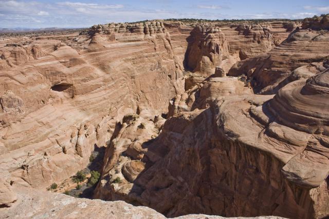
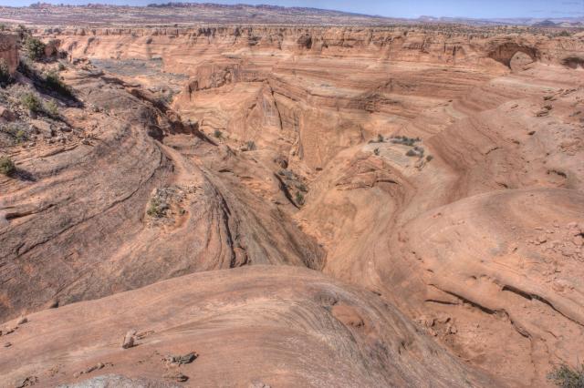
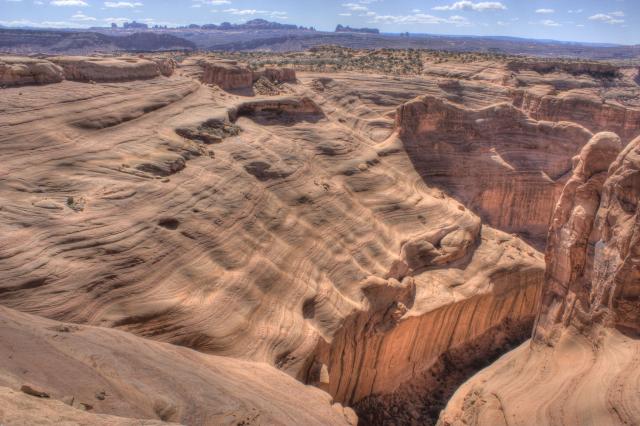
Views down into Lost Spring Canyon were very cool.
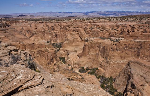
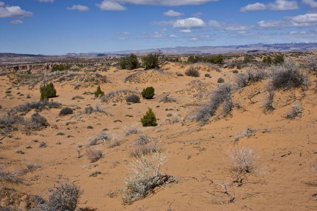
We followed the canyon rim for a ways and then trekked across a sandy area.
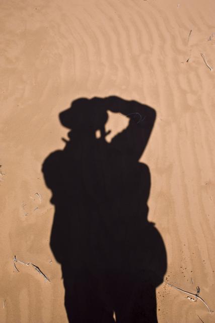
Shadow on the sand
Lots of sand. Luckily it was still moist, so walking across it was pretty easy.
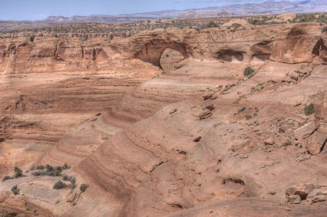
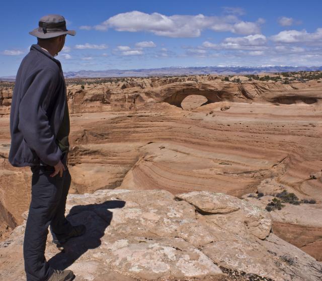
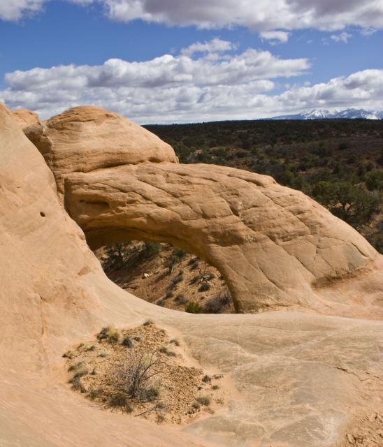
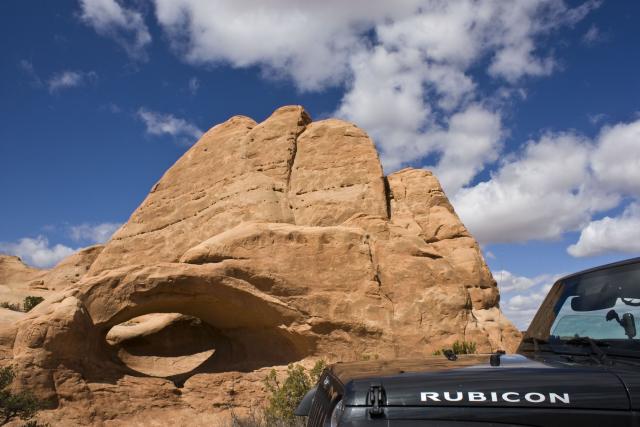
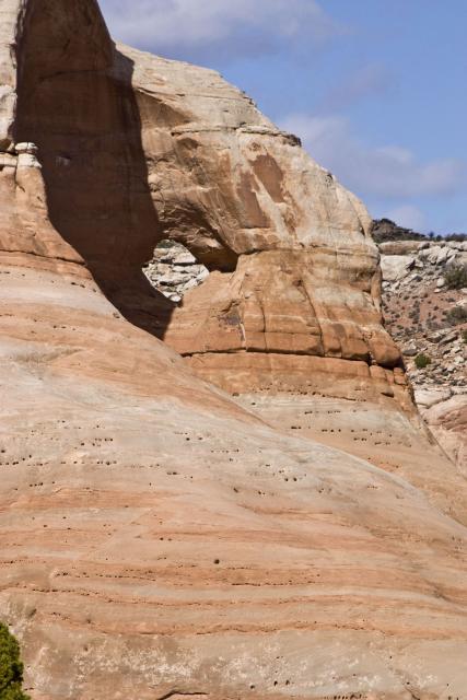
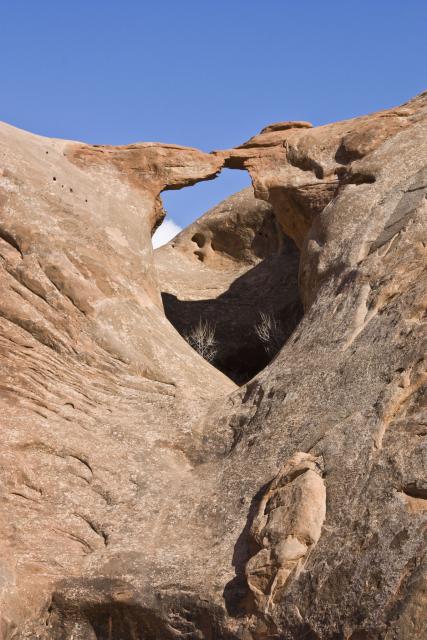
Then we finally found Covert Arch.
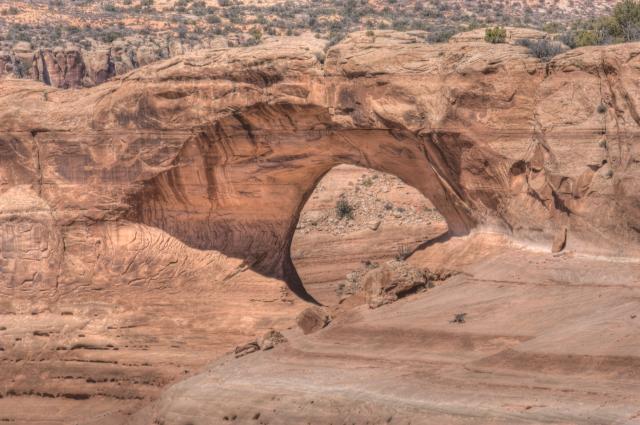
Close-up
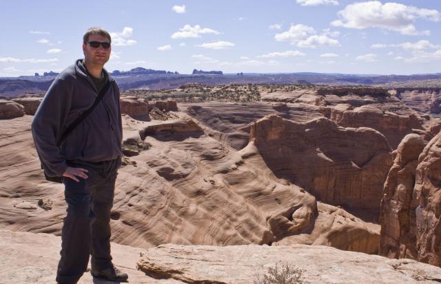
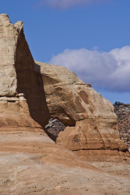
Then I hiked around to a different overlook directly across from the arch
and took this self-portrait.
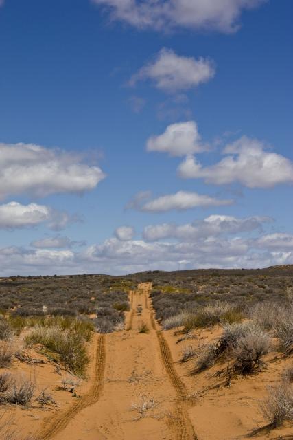
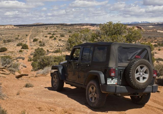
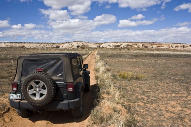
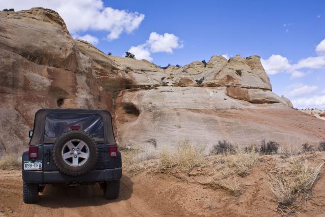
After taking a number of photos of the arch, we hiked back to the Jeep. I finished up this branch of the road on Winter Camp Ridge, since I had not traveled this section the last time I was here.
My tracks on the sandy Winter Camp Ridge trail.
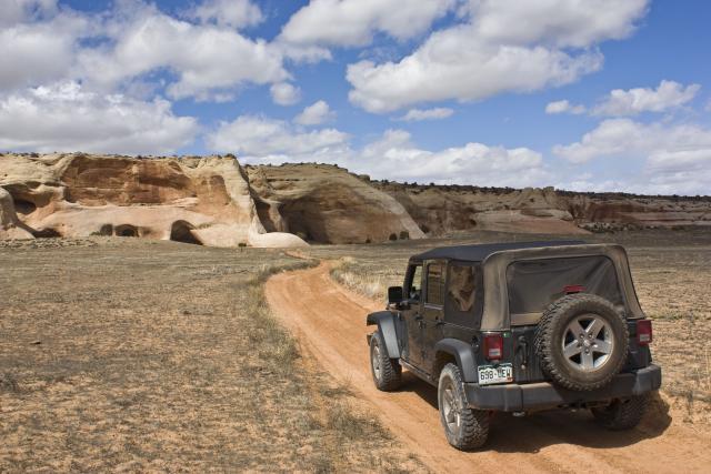
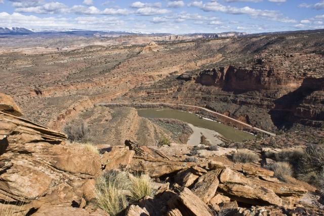
This sandy trail ended at a very cool overlook at the boundary of Arches National Park.
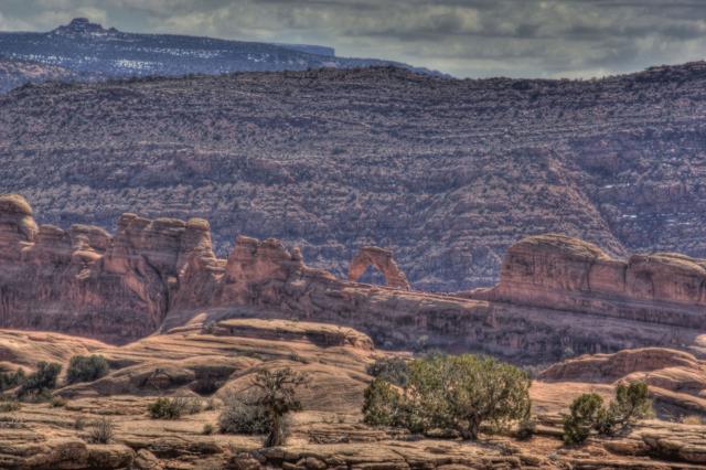
View from the overlook into Arches. You might be able to spot some familiar arches on the horizon.
You could even see the top of Delicate Arch from here.
We had lunch at this overlook and then made our way back to the Dome Plateau Road, where we continued on to reach La Boca Arch.
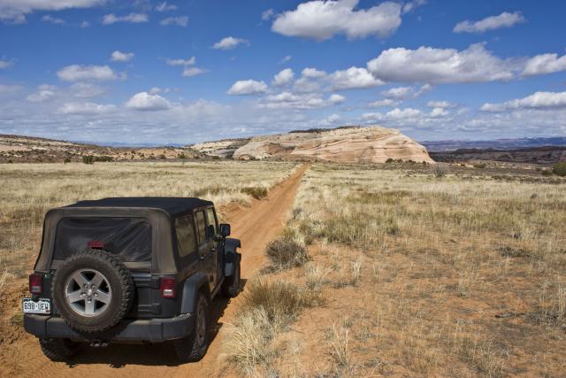
Headed back out
La Boca Arch
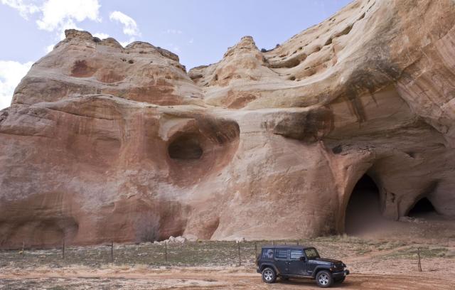
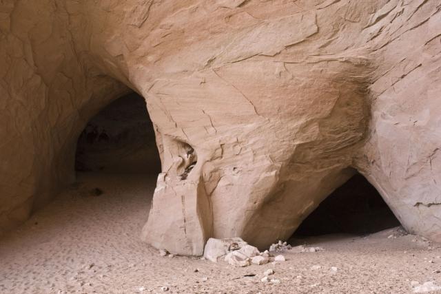
Our next destination would bring us to the caves at Caves Spring.
Caves in the distance
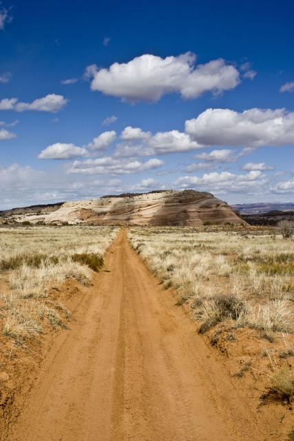
From the caves we headed across Squaw Park, then crossed and followed Yellow Jacket Canyon until we reached the Kokopelli Trail. At this intersection we headed north to some good dinosaur tracks that Amanda had not seen yet.
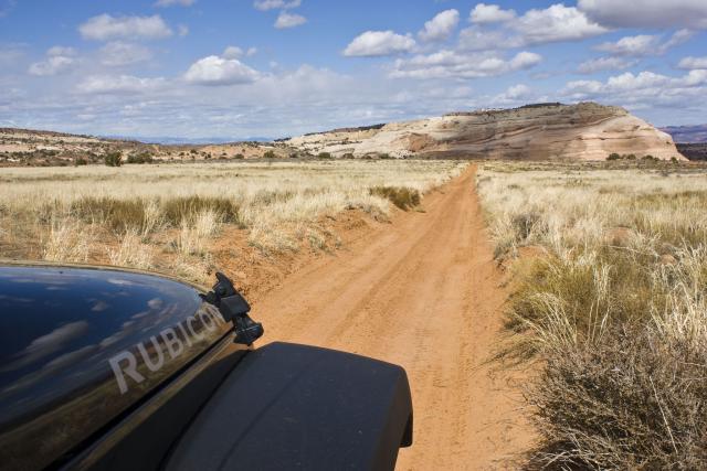
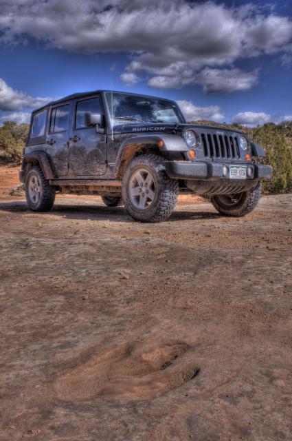
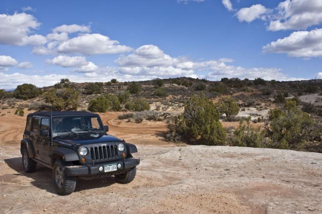
I like the reflection of the clouds on my hood.
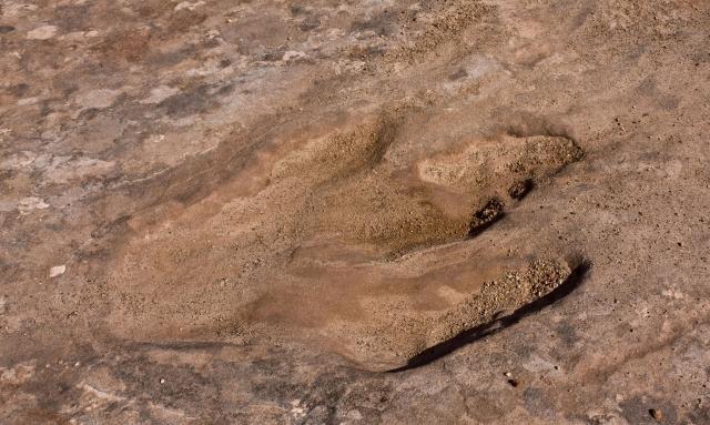
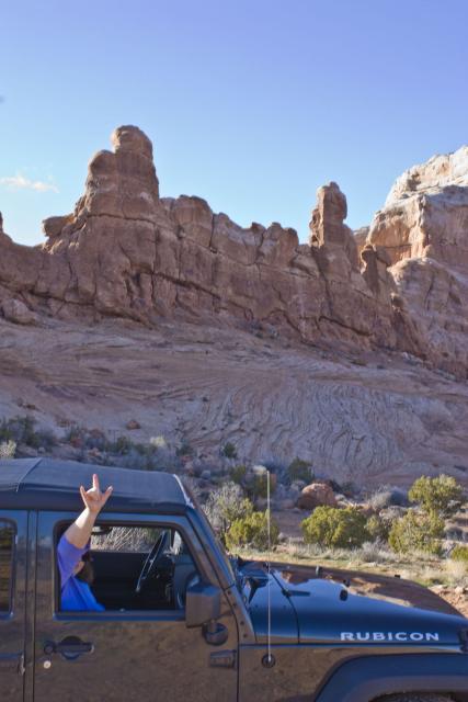
HDR of a dinosaur track and my Jeep
These are some of the best dinosaur tracks that I know about around Moab.
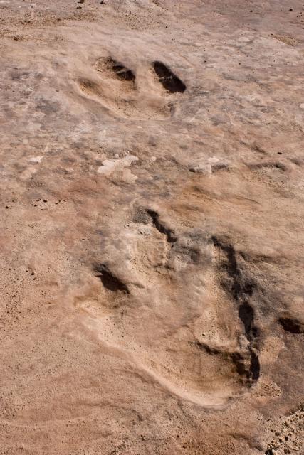
After spending some quality time photographing the dinosaur tracks we made our way back down along Yellow Jacket Canyon and found two more arches along the way.
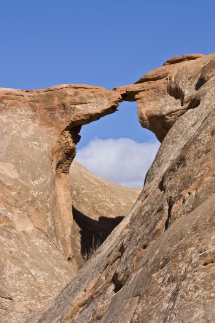
First was Squaw Window.
Followed by Arrow Head Arch.
We searched for Pothole Arch, but were unable to locate it this trip. Before heading down towards the Dewey Bridge we took a quick side trip to an overlook above the Colorado River just opposite of Pole Canyon. While at the overlook we found a geocache hidden there as well.
View from the overlook
Amanda signed the log on the geocache.

On our way down we stopped for a photo at a landmark that Amanda has named ‘Rock on, Rock!’ I’m pretty sure it has an official name, but we’ll stick with ours 🙂
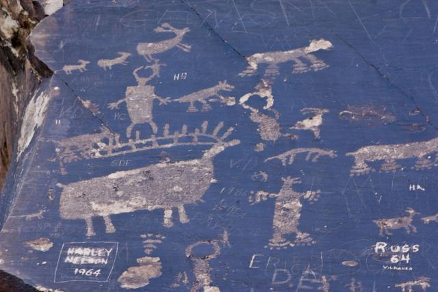
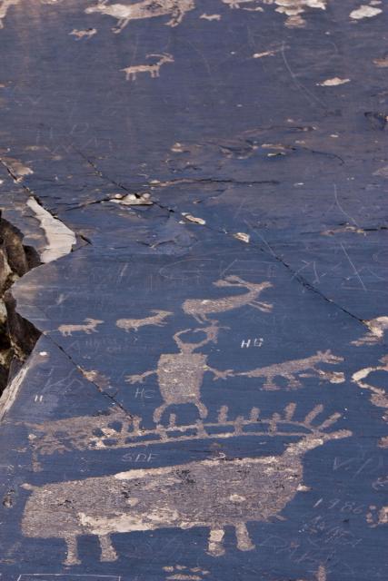
Before heading back home we made a quick last stop along the highway at some petroglyphs, since I’ve driven by these a ton of times, but don’t think I had ever stopped at them before…
Not a bad way to go though half a tank of gas 🙂
Could you give me a better idea on a map of where the dinosaur tracks are? I’ve spent hours looking for them. Also, where did you stop to see the petroglyphs?