Press "Enter" to skip to content

Tag: uncompahgre plateau

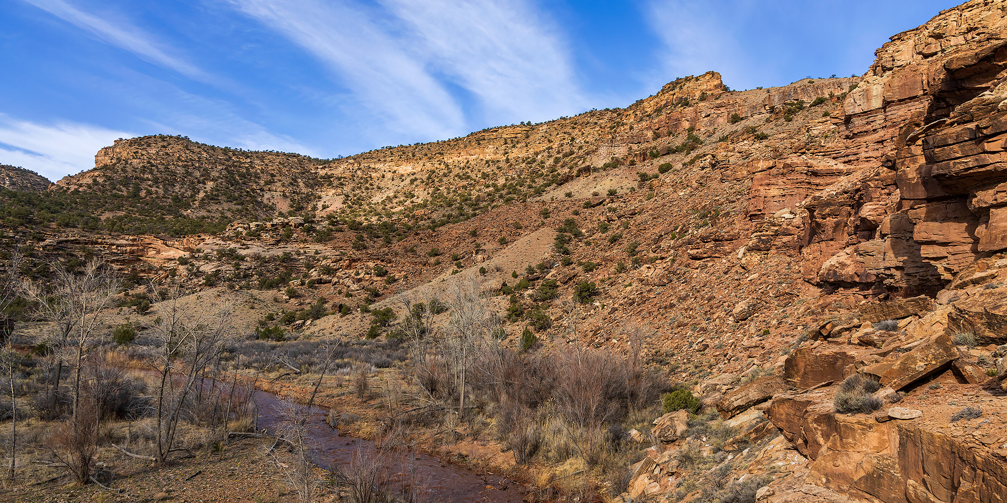
Roubideau Creek in the Camel Back Wilderness

The Edge of the Uncompahgre Plateau | Friday & Saturday, April 15-16, 2022

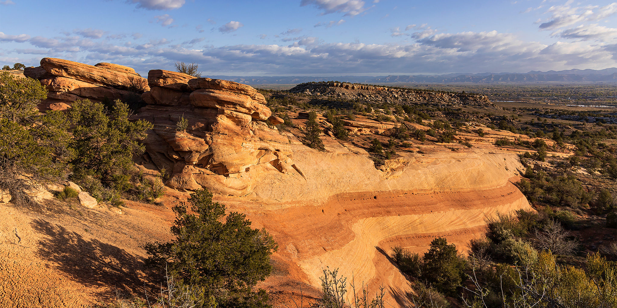
This weekend I needed to stay closer to home to get some work done on my Jeep and around the house, so I turned my attention to the Camel Back Wilderness Study Area at edge of the Uncompahgre Plateau between Delta and Montrose. Last spring I had planned to hike up Roubideau Creek after visiting the Devil’s Thumb, but the water was just too high at the time, so I thought I would give that hike another try on Saturday morning. After leaving work on Friday afternoon I drove to Delta and then followed some Jeep roads to the rim of Roubideau Canyon across from the Camel Back and watched the sunset. Besides having a great view over the canyon, I could also see the Grand Mesa, West Elks and Sneffels Range on the horizons from my vantage point.

2 Comments

The Arches of Mee Canyon II

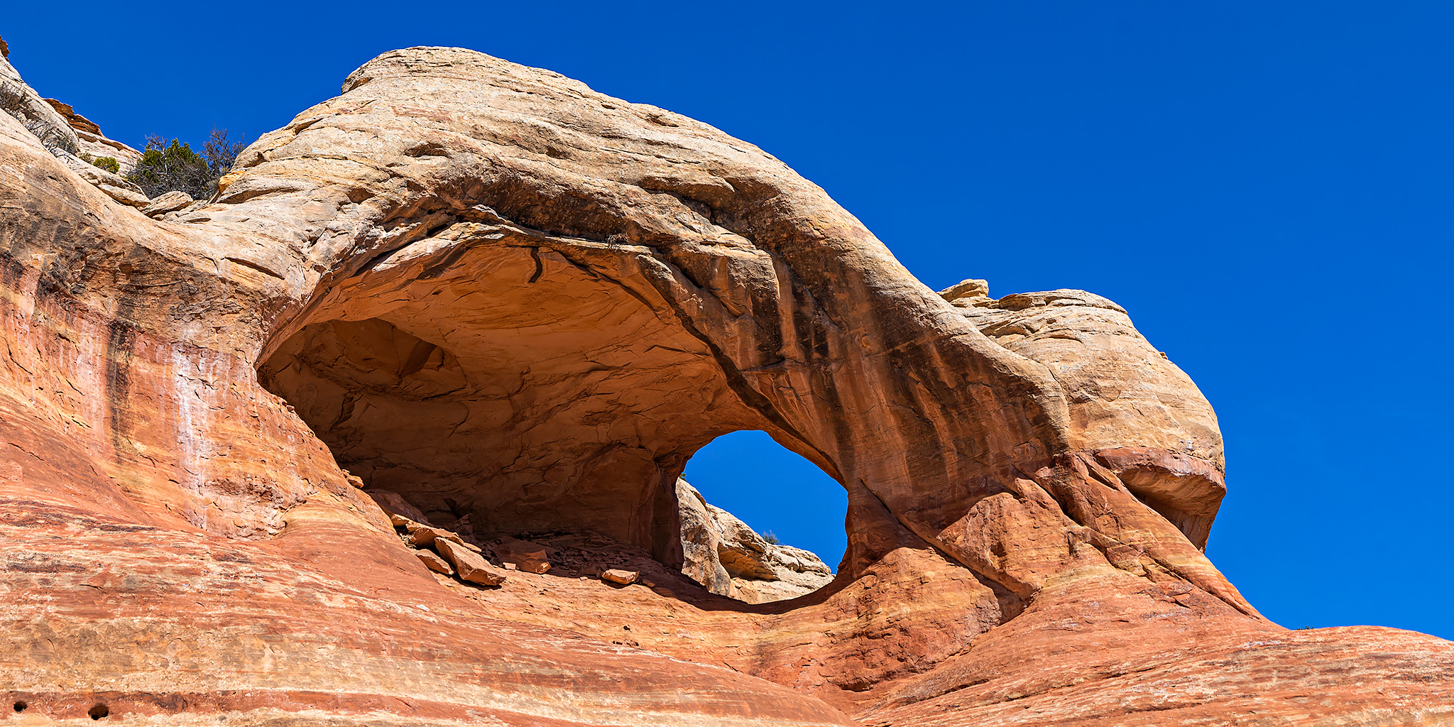
Canyons of the Black Ridge Wilderness: Bulwark Arch & Arete Arch
Saturday & Sunday, April 2-3, 2022

This weekend I needed to stay close to home since I’m going to be leaving on a trip to The Maze in a couple of days, so Diane and I decided to head out on a local overnight backpacking trip into the Black Ridge Canyons Wilderness to visit a couple more arches located on the benches high above Mee Canyon. We slept in a bit late on Saturday morning, had a good breakfast, and then drove up through Glade Park to the Knowles Canyon Trailhead in the McInnis Canyons National Conservation Area. We shouldered our packs and followed the Knowles Canyon Trail for about a mile and then followed a maze of old roads to the rim of a western fork of Mee Canyon and set up camp on top of the ridge.

2 Comments

McCarty Bench: Escalante Canyon to Palmer Gulch

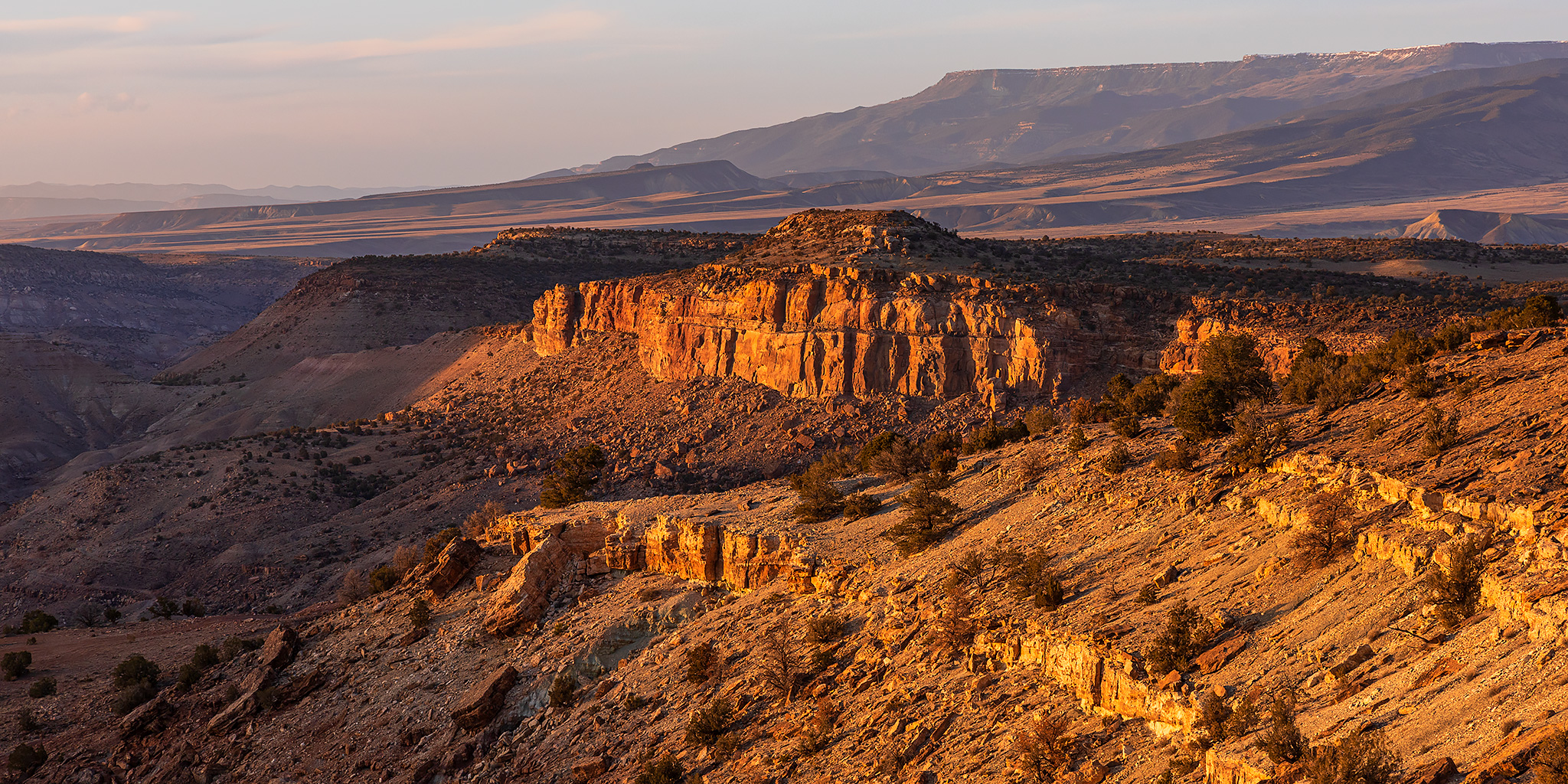
The Edge of the Uncompahgre Plateau: Dominguez Canyon Wilderness
Friday – Saturday, March 25-26, 2022

This weekend I needed to stay close to home since Diane and I had tickets to a pair of concerts in town, so I decided to do a little exploring in the Dominguez Canyon Wilderness at the edge of the Uncompahgre Plateau on Saturday morning. Since I wasn’t going to be travelling far, I stopped home for a little bit after work on Friday and then made my way over to Escalante Canyon to spend the night. After fording Escalante Creek I drove up the Escalante Rim Road and found a nice campsite right along the rim of the canyon. I arrived about an hour before sunset and was treated to a 360 degree view of the Grand Mesa, West Elks and Sneffels Range. Unfortunately, it is currently open burn season in the area, so there was a lot of smoke and haze in the air this evening. I took a couple of photos before sunset and then read for a while until I went to bed early.

1 Comment

Norwood Canyon of the San Miguel River

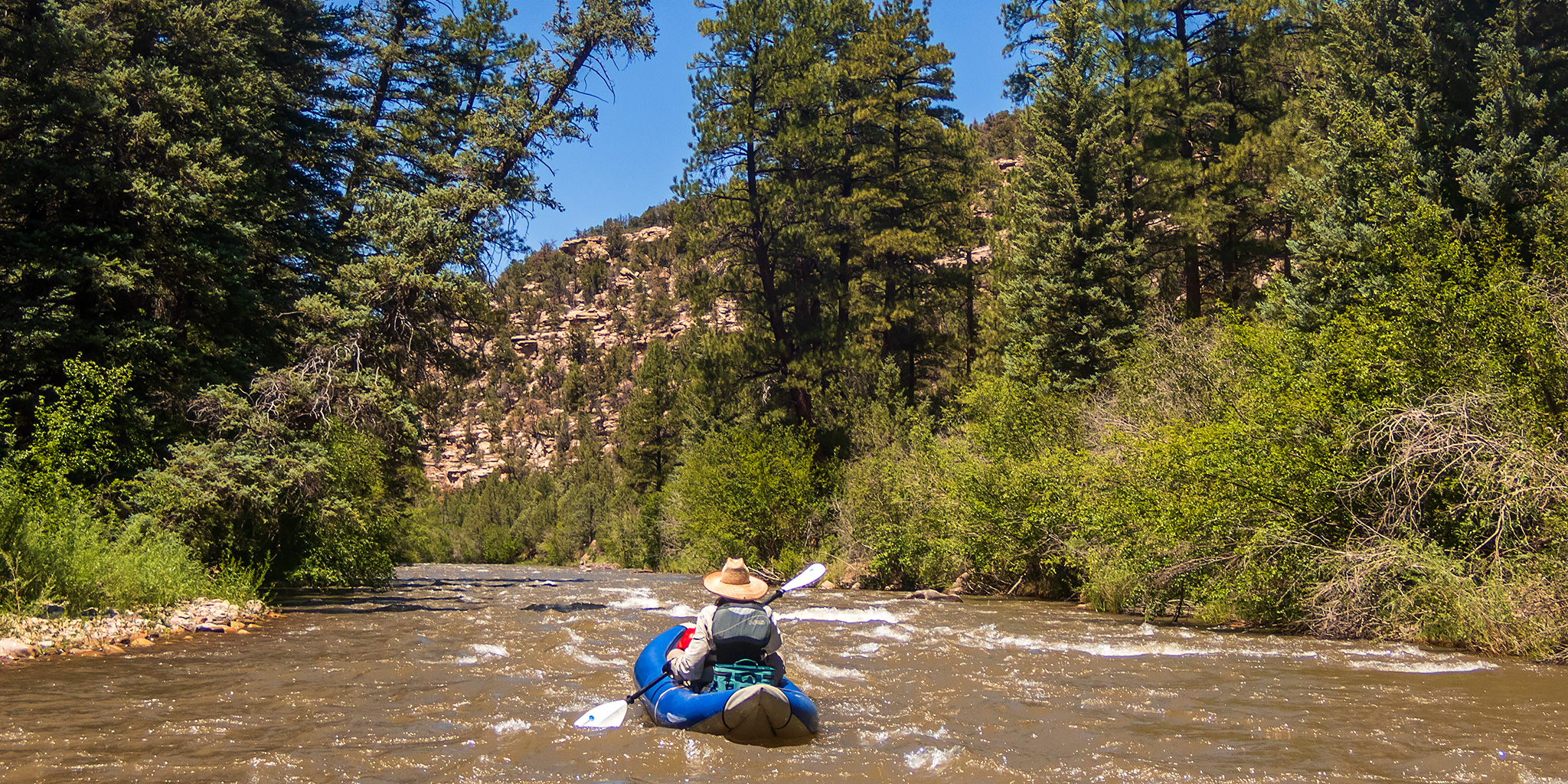
San Miguel Canyon: Beaver Creek to the Piñon Green Truss Bridge
Saturday, June 12, 2021 | Average CFS: 608

Unfortunately, this is only the first river trip of the year for me, and it feels long overdue! I was really hoping to get in a few more river trips this spring, but thanks to the dismal snowpack and poor spring runoff, things just haven’t worked out for me this year. The smaller desert rivers that I wanted to float did not have enough water and I did not win any permits from the lotteries this year, so lately I have been keeping an eye on some of the rivers in western Colorado hoping that there would be enough snowmelt to run something. This past week it was looking like the San Miguel River was going to be our best bet, and since we had a really nice time on the lower San Miguel River and Hanging Flume Canyon last year, Jackson and I thought it would be nice to check out a new section through Norwood Canyon this time. There is not a lot of info about this stretch of the San Miguel available, but we found enough bits and pieces online that helped us figure out the logistics of the trip. It was going to be another hot weekend on the Colorado Plateau, so we were looking forward to keeping cool on the San Miguel River!

2 Comments

Devil’s Thumb & The Awesome ‘Dobie Badlands

Adobe Badlands Wilderness Study Area & Roubideau Creek
Friday & Saturday, May 7-8, 2021

Next week Diane actually has a full week off from school between semesters and we are planning on spending that time in northern Arizona and New Mexico so she can get away from studying for a little bit. Since I still have a lot to do around the house to prepare for that trip I didn’t want to stray too far away from home this weekend, so I decided I would just head out for a quick and easy overnight trip to explore the Adobe Badlands and Roubideau Creek near Delta. I left straight from work on Friday, grabbed a quick dinner in Delta and then drove over to the edge of the Adobe Badlands Wilderness Study Area just north of town so I could hike up to the Devil’s Thumb this evening. I notice the Devil’s Thumb every time I drive through Delta and always think to myself that I should make the time to visit it, so this hike has been long overdue. It was about 90 degrees and very windy out when I started hiking, so it was a bit warm but at least the wind made it feel a little cooler and also kept any bugs away!

Leave a Comment