Laccoliths in the Desert | Friday – Saturday, June 21-22, 2024
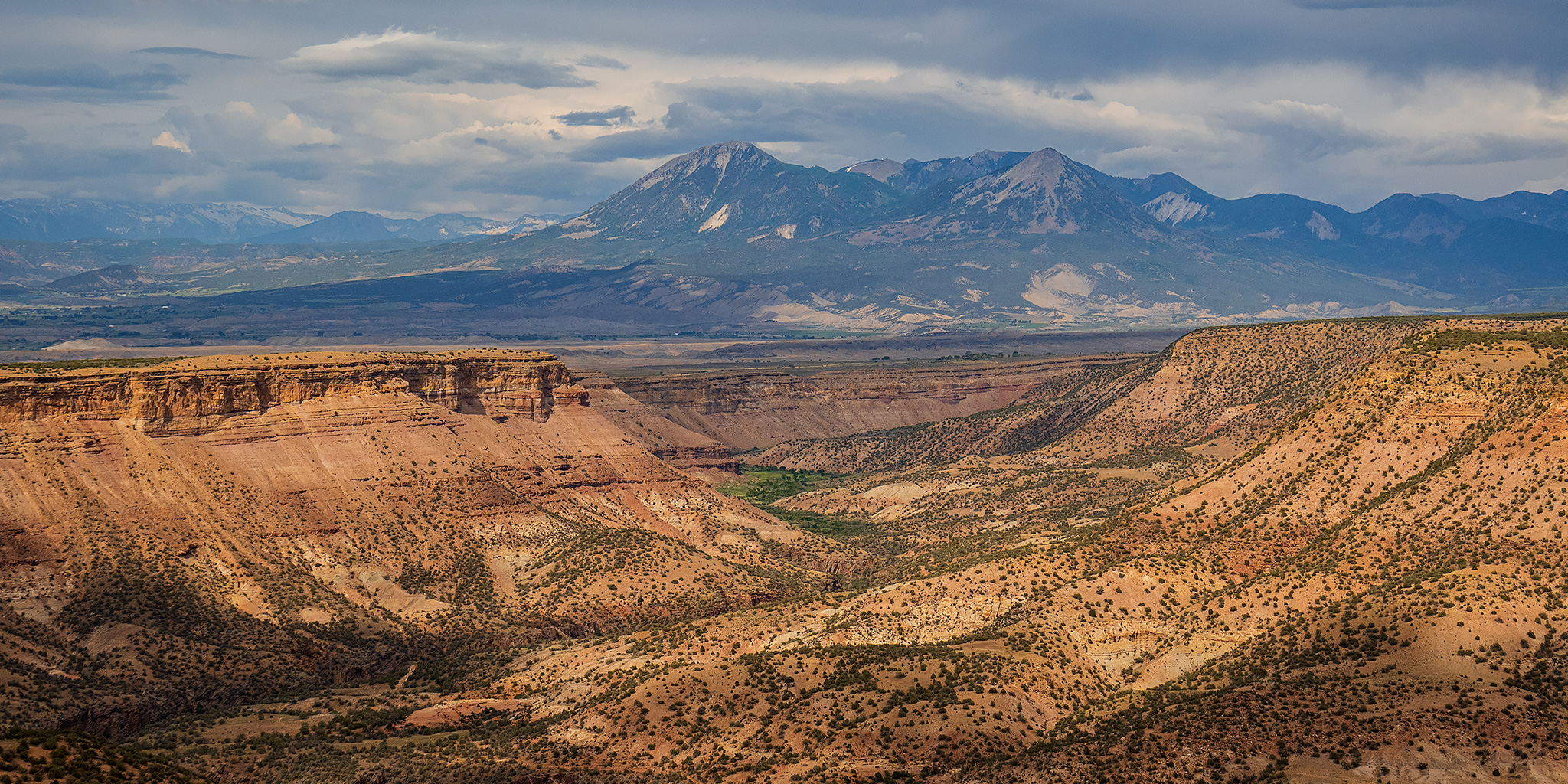
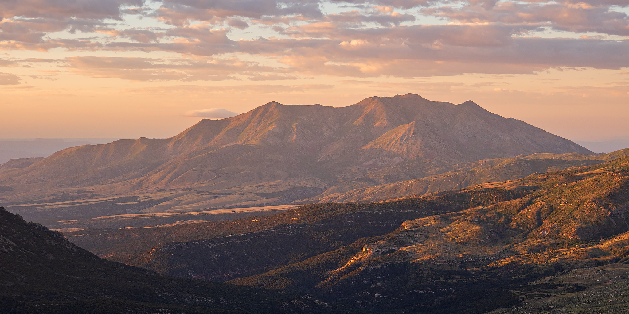
The Henry Mountains are a laccolithic mountain range that stand high above a sea of sandstone cut by deep canyons on the Colorado Plateau and were one of the last-surveyed and last-named mountain ranges in the contiguous United States. In 1869 John Wesley Powell made note of the range during his initial voyage down the Colorado River and called them the Unknown Mountains at the time. Then in 1871 he returned to the area on his second trip down the Colorado and renamed them to the Henry Mountains after Joseph Henry, a close friend who was secretary of the Smithsonian Institution. Last year I was planning to head back up into the Henry Mountains after Jared and I had spent a nice weekend there in 2022, but other trips came up and I never made it. This year I was determined to get back early in the summer to hike a couple new peaks and highpoints and chose to go this weekend. I left from work on Friday afternoon and made my way to Hanksville, and even though there were a lot of storms throughout the area this afternoon, some which caused flash flooding around Moab and the San Juan River, I managed to miss them all- aside from the wind. It seems that it’s frequently very windy out when I stop in Hanksville, and today was no exception!
2 Comments