Press "Enter" to skip to content

Tag: grand mesa

Kodels Point

McInnis Canyons National Conservation Area
Friday, April 17, 2020

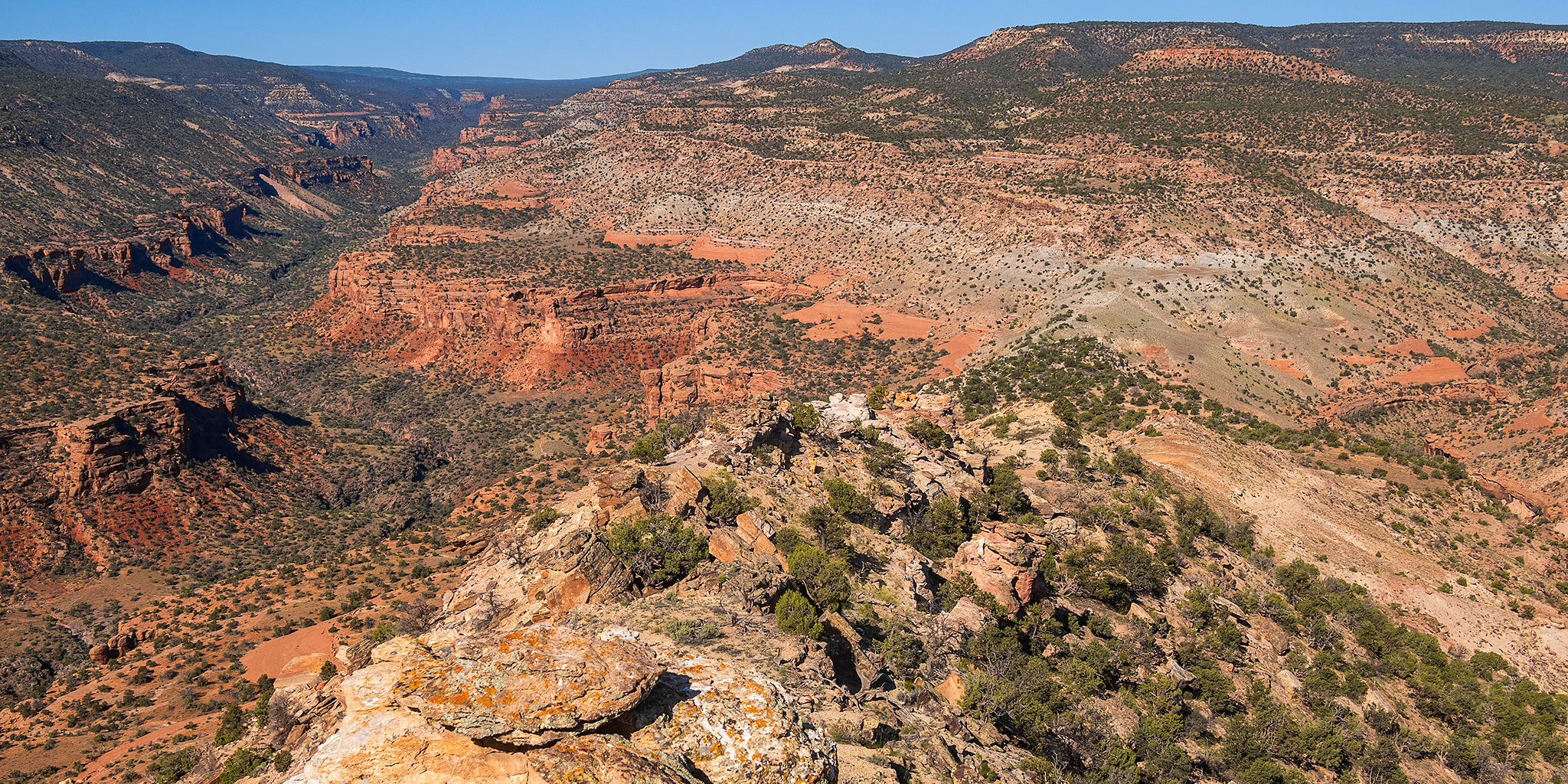
This evening after work I drove up to the Visitor Center in the Colorado National Monument so I could try to hike to the top of a distinctive high point located above Kodels Canyon. I’ve looked upon this prominent sandstone outcrop many times as I have driven west on I-70 through Fruita and always wondered if it would be possible for me to climb to the top of it. This point sits on a narrow strip of land within the McInnis Canyons National Conservation Area that is sandwiched between the Colorado National Monument and the Black Ridge Canyons Wilderness. Since this prominent butte is located right above Kodels Canyon, I have come to refer to it as Kodels Point, as it does not have an official name on any map that I have seen. Today was the day I was finally going to see if I could find a break in the cliffs and scramble to the top of the point, but to be honest, I knew that chances were going to be slim and that I would be perfectly happy just walking around the base of it and taking in the views while I was up there!

2 Comments

Colorado National Monument: Bench Trail Arch

Thursday, April 9, 2020

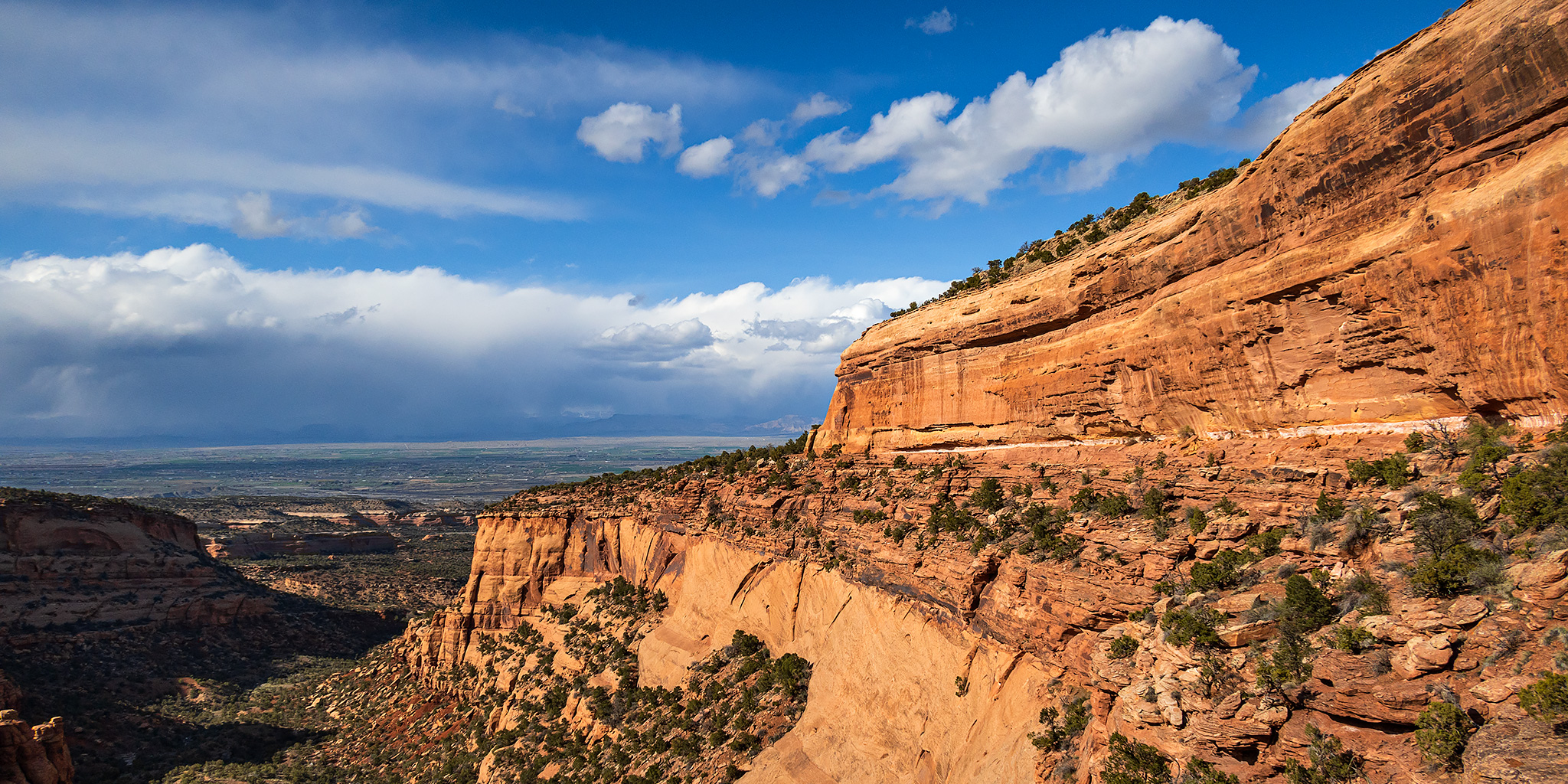
This evening I went for a short hike into the Colorado National Monument so I could finally get a closer look at Bench Trail Arch. While I’ve hiked below this arch on the Bench Trail a number of times before, it’s always been in the middle of a longer hike through the Monument, so I’ve skipped climbing up to it to save my energy. After work I drove over to the Wildwood Trailhead and arrived just as the temperature out dropped by about ten degrees and it started to rain and get windy. I guess a good thing about the bad weather was that there were only a few other vehicles in the parking lot, which can sometimes be a busy location. I checked the radar on my weather app and saw that this storm system was going to pass through pretty quickly, so I started hiking anyway. It was a little chilly and I got soaked at first, but once the rain and wind stopped, I dried off pretty quickly and warmed up again. Of course, all the rain made it pretty humid out for the rest of the hike, which was not very comfortable.

3 Comments

Riding Along the Rim of the Grand Mesa

Flowing Park to Point Peninsula
Sunday, August 4, 2019

After spending Saturday morning hiking to the summit of Red Mountain #2 and then going to a concert in the evening, we slept in a little later on Sunday morning before heading out for the day. It has been a while since we have gone on a mountain bike ride, so we decided to head up onto the Grand Mesa for a few hours with our bikes. After looking at a map we decided to give the Flowing Park Trail a try since it looked like there wouldn’t be too much elevation gain and that it would follow along the rim of the Grand Mesa for a while offering us distant views of the surrounding landscape. While I had hoped to ride the full loop when we started, we ended up turning around when we reached Point Peninsula and returning the way we had come. Even though we didn’t ride the entire loop, I do believe this was still our longest mountain bike ride ever, so there’s that. During the last few miles of the ride back to the trailhead we got caught in a storm and were soaked by the time we arrived back at my Jeep. It was a good time!

Leave a Comment

North Fork of the Gunnison River

Paonia River Park to the Gunnison Forks Recreation Site
Independence Day | Thursday, July 4, 2019

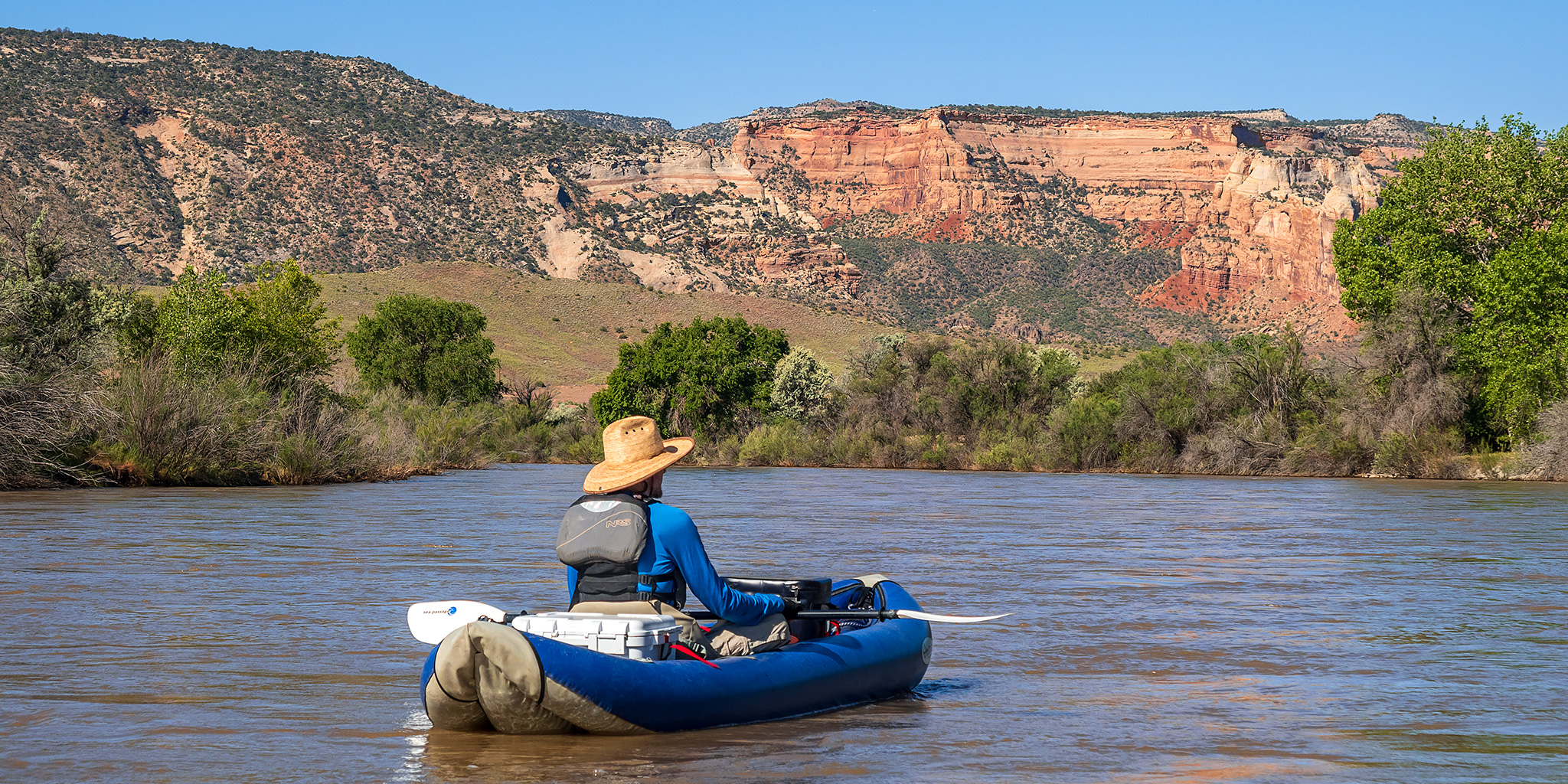
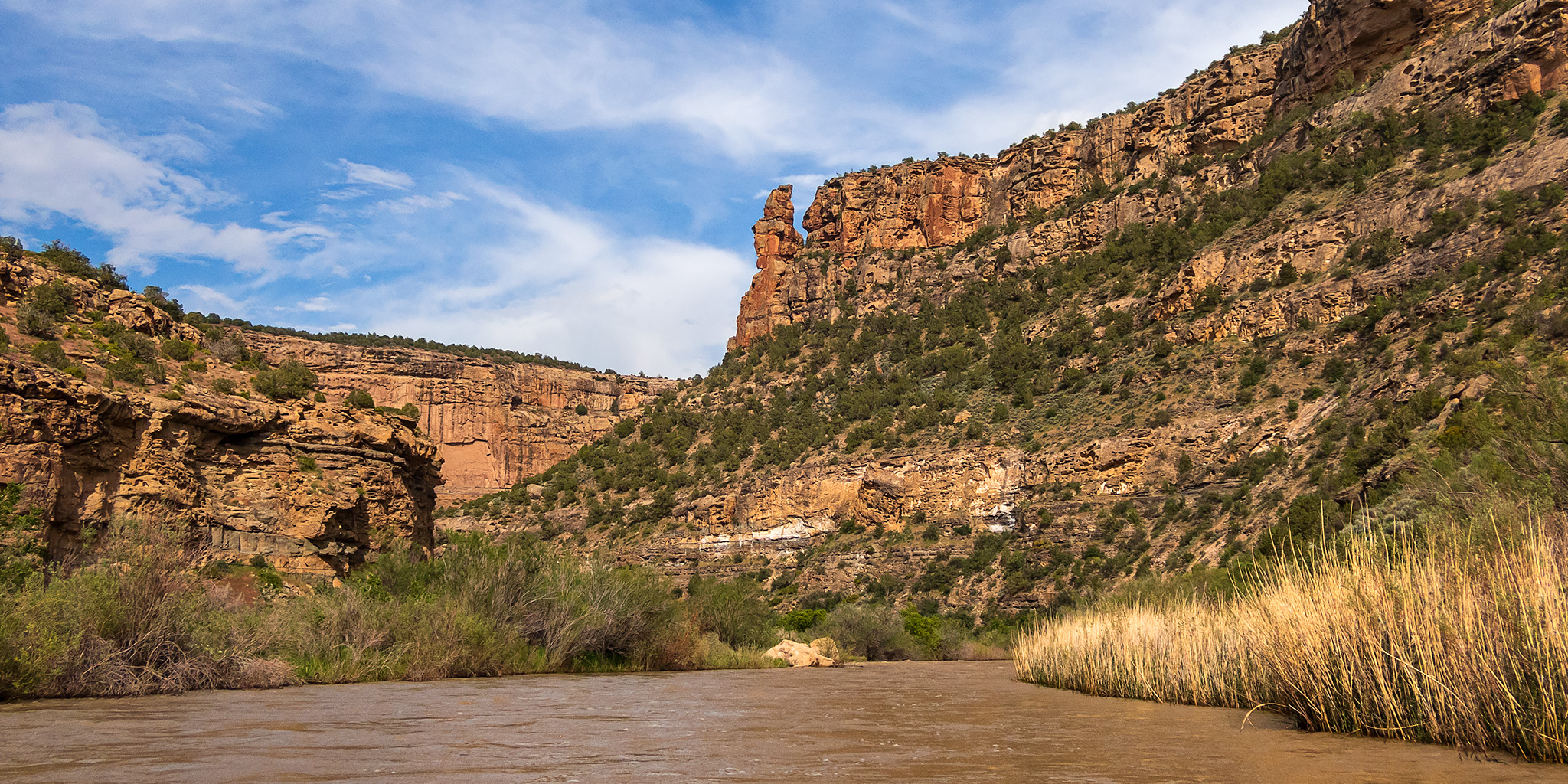
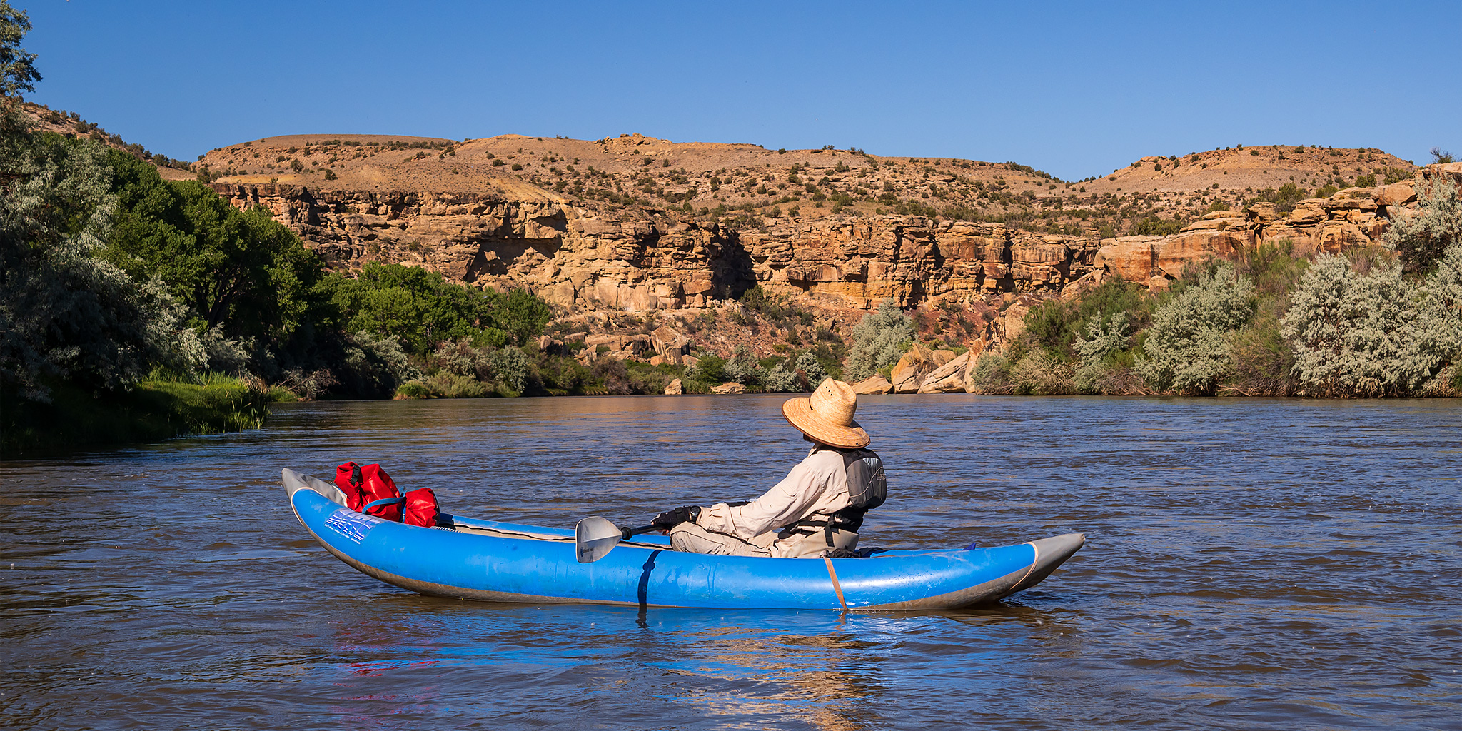
This year for the Fourth of July I was looking to go on one last river trip before I started heading into the mountains for the summer season. Since I only had one day off from work for the holiday I wanted to go somewhere close to home and on a river that was still not running too high, which was hard to find this year! On Wednesday afternoon Jackson, Chris and I decided that we would give the North Fork of the Gunnison River a try from the Paonia River Park to its confluence with the Gunnison River. The North Fork of the Gunnison is formed just below the Paonia Reservoir by the confluence of of Muddy Creek (not that Muddy Creek) and Anthracite Creek, which originates in The Raggeds of the West Elk Mountains. Since we have already floated most of the Gunnison River from Pleasure Park to Whitewater, we thought it would be nice to work our way further up the North Fork and finally check it out.

2 Comments

Big Dominguez Canyon: Cactus Park to Bridgeport

Saturday & Sunday, May 18-19, 2019

This weekend we had some stuff to get done around the house but we still wanted to try and squeeze in a backpacking trip this month, so we decided to head over to the Dominguez – Escalante National Conservation Area for a quick overnighter into Big Dominguez Canyon. While I have hiked into lower Big Dominguez Canyon many times over the years, Diane had never been in this canyon before and wanted to finally check it out. We planned to do a repeat of my very first backpacking trip by starting out in Cactus Park and hiking down the canyon to Bridgeport so it wouldn’t be just another out and back hiking trip, plus I’ve wanted to redo this trip again now that I am much more experienced. After we had returned home from this trip I learned that Saturday was Colorado Public Lands Day, which I had never heard of before, so I guess it was pretty fitting that we actually stayed on public lands in Colorado this weekend instead of heading over into Utah like we usually do at this time of the year!

2 Comments