Saturday, May 7, 2022 | Average CFS: 2,635
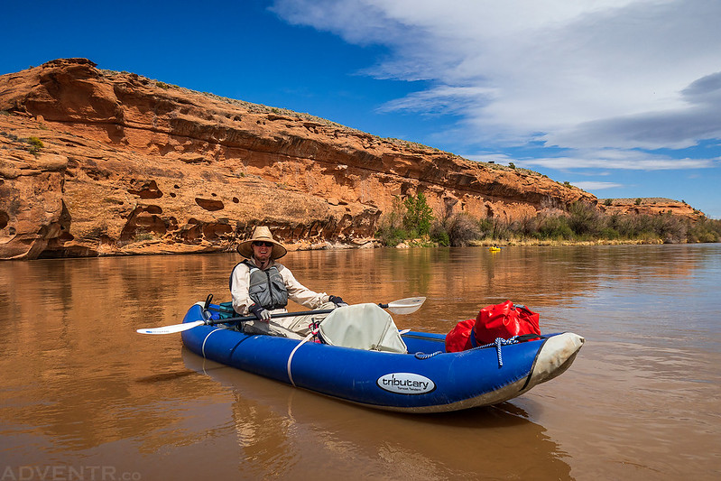
This weekend I was looking to stay local and to get back on the river for the first time this season, so I made plans with my friend Jackson to float a section of the Gunnison River along the northeastern edge of the Uncompahgre Plateau from Escalante Creek to Bridgeport on Saturday morning- assuming the windy weather we’ve been having across the Southwest would cooperate! Although I have floated this section of the Gunnison River once before back in 2009, that time I tagged along with a friend in his raft and I really don’t remember much about the trip, so I was looking forward to getting back with my own inflatable kayak this time. In order to try to beat the wind, Jackson and his son Ken met me at my house early in the morning and transferred their gear into my Jeep. We then dropped Jackson’s car off at Bridgeport and headed over to the boat ramp at Escalante Creek. After inflating and rigging our kayaks, we were on the water shortly before 8:30am.
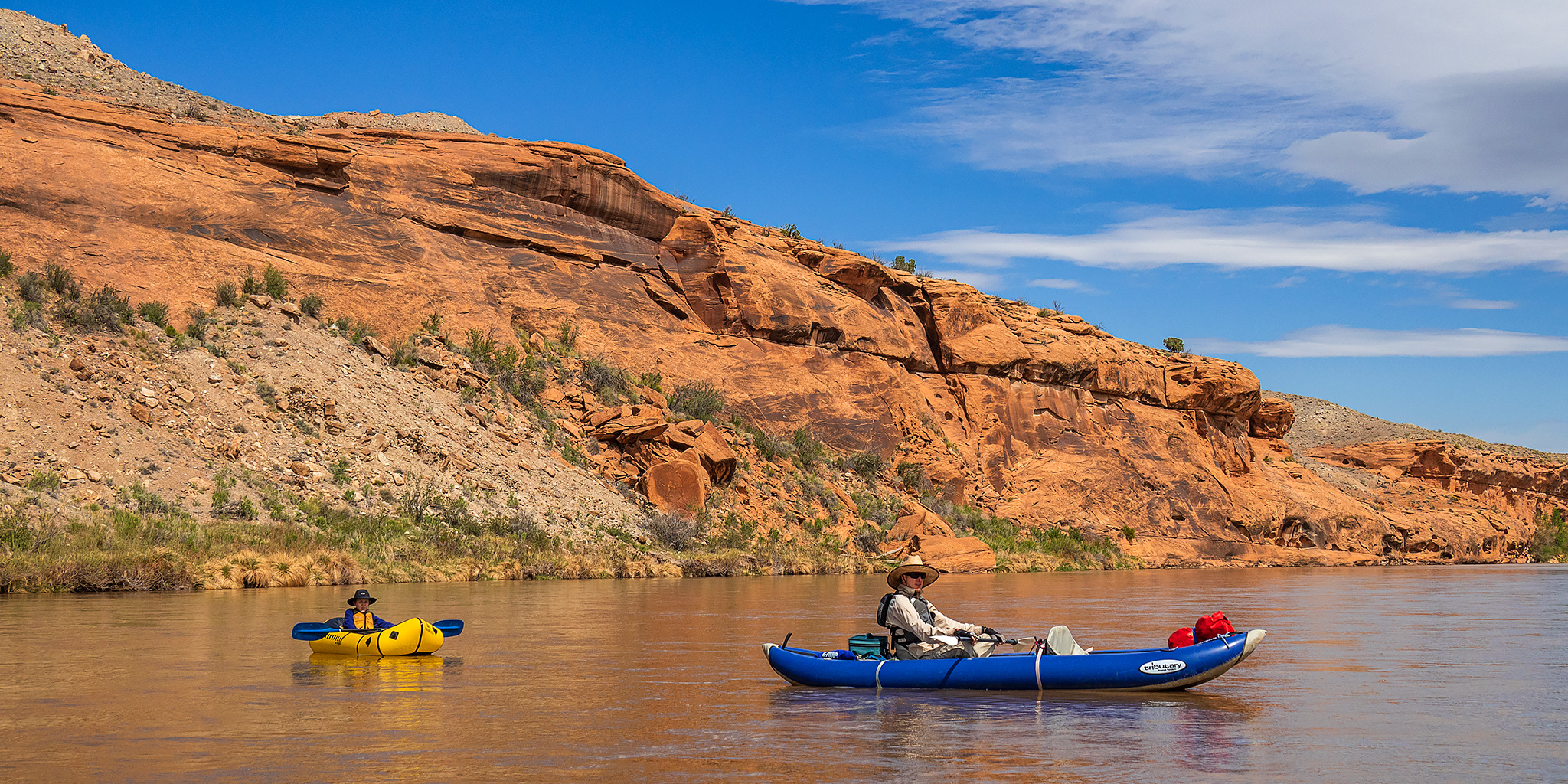
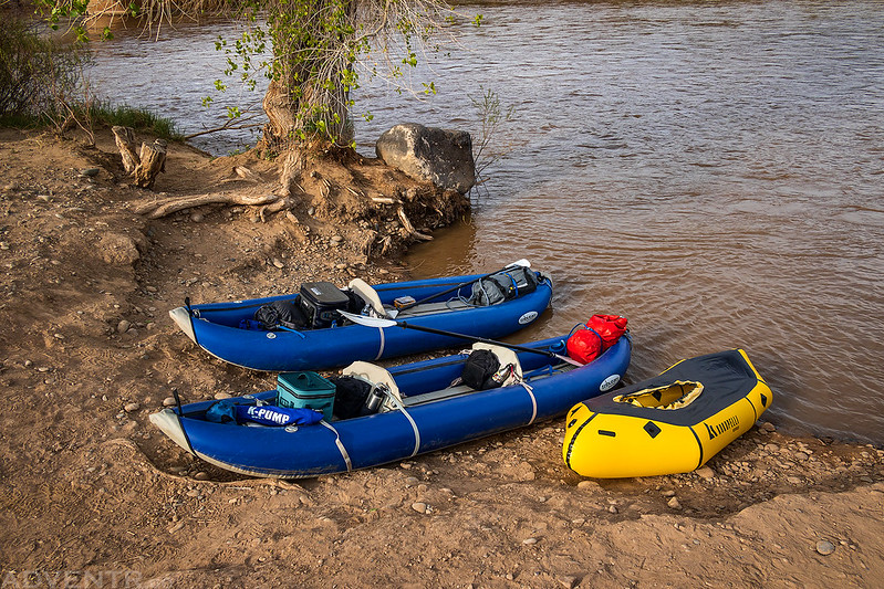
Here’s our three boats at the Escalante Creek Boat Ramp ready to get on the river. Ken was going to be paddling the Kokopelli packraft on his own this time.
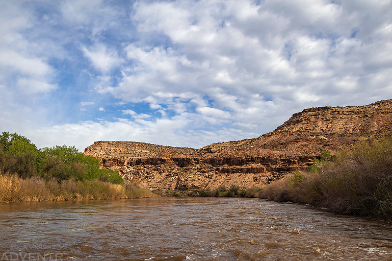
It was a nice morning to be on the river since the temperature hadn’t dropped much overnight and there were some nice clouds in the sky, plus the wind hadn’t started up yet!.
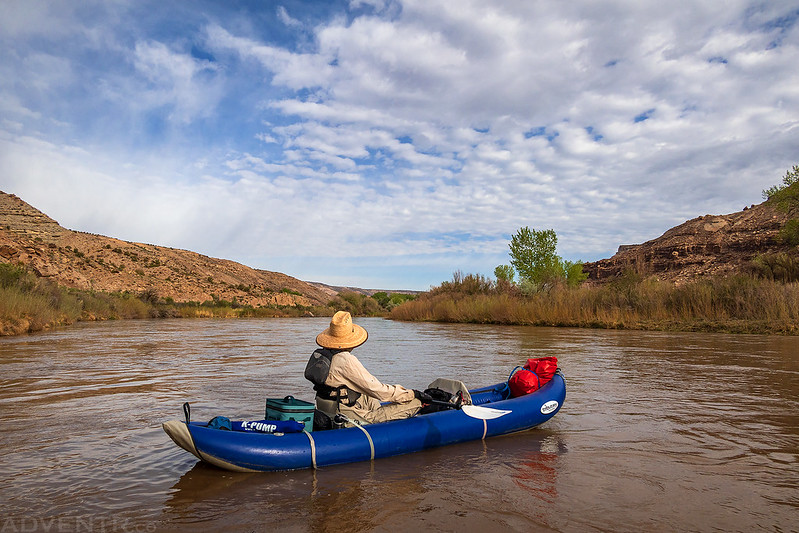
Aside from a couple riffles, most of this float is easy flatwater. With the lower water levels this spring we weren’t sure how fast the river was going to be moving this morning, but it kept up a good pace and was moving quicker than we expected.

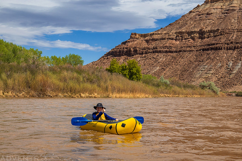
Ken enjoyed having Jackson’s packraft to himself this morning.
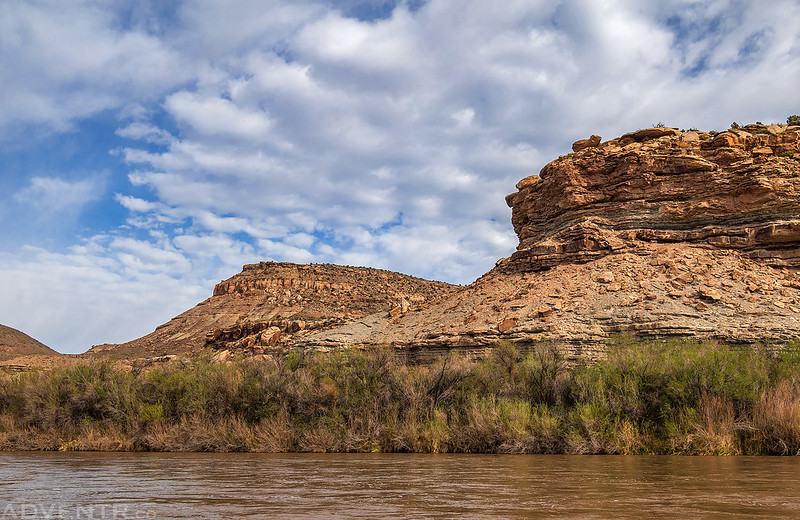
It was a beautiful morning on the Gunnison River.

We stopped for an early lunch and took a short hike into Leonards Basin.
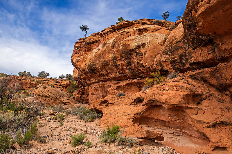
Leonards Basin

My first photo of a Claret Cup Cactus this year.

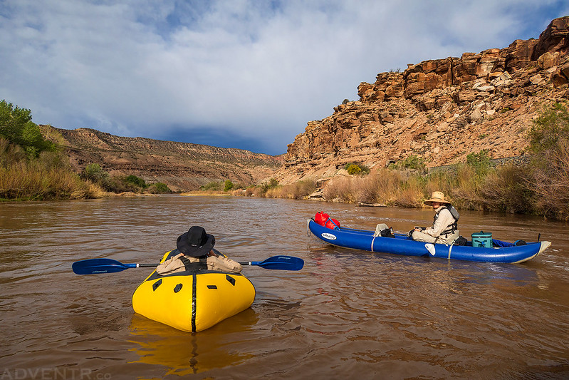
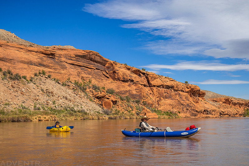
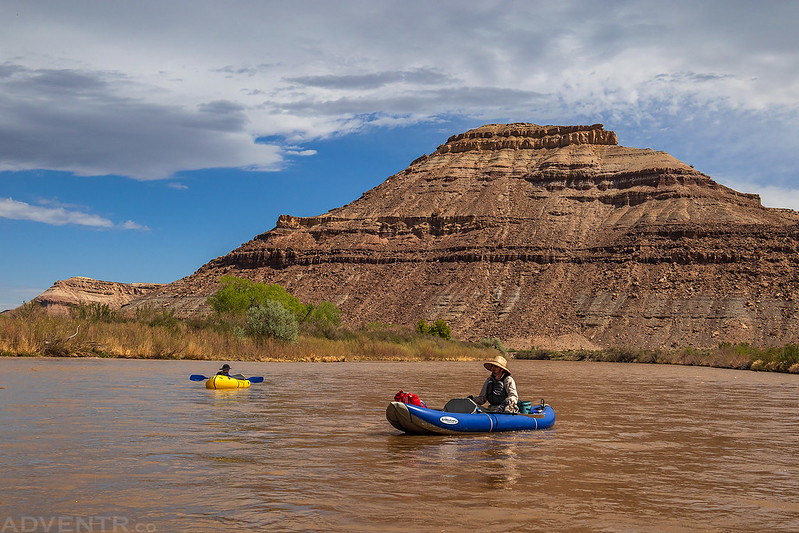
Then it was back on the river with the clouds, cliffs and railroad tracks.

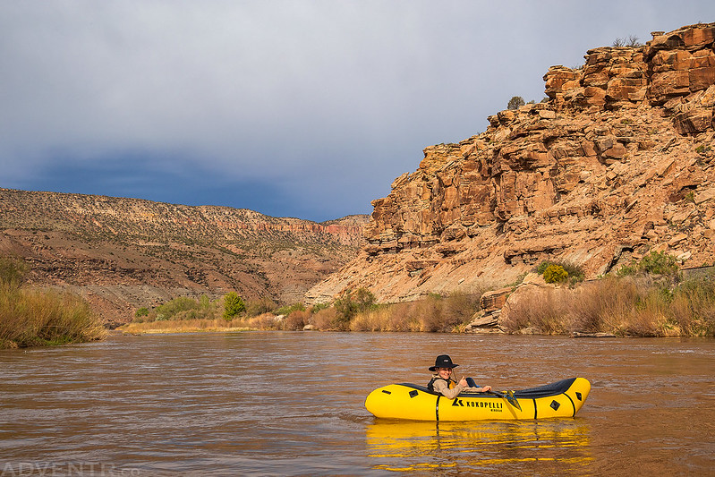
This was a very scenic stretch of the canyon.

Ken gives this section of the river an enthusiastic thumb’s up!
The canyon walls turned black as we entered the final large bend of the canyon before Bridgeport. This is where the wind finally started to catch up to us.

After passing the mouth of Dominguez Canyon we reached the bridges at Bridgeport and saw a lot of day hikers and backpackers on the trail along the river.
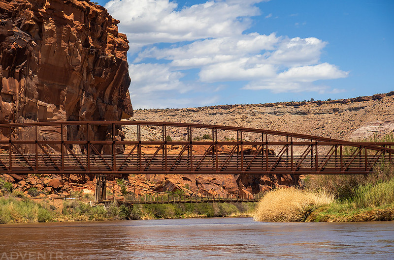
Floating underneath the Bridgeport Bridge.
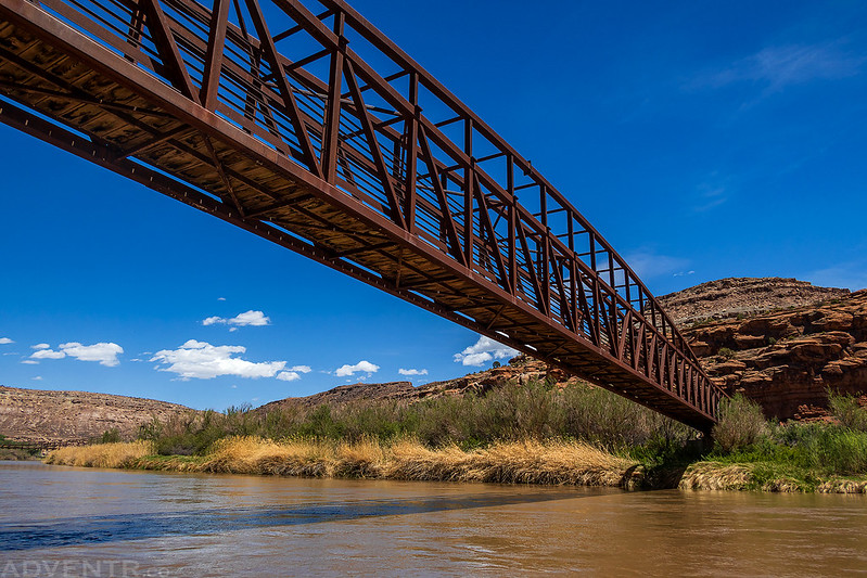
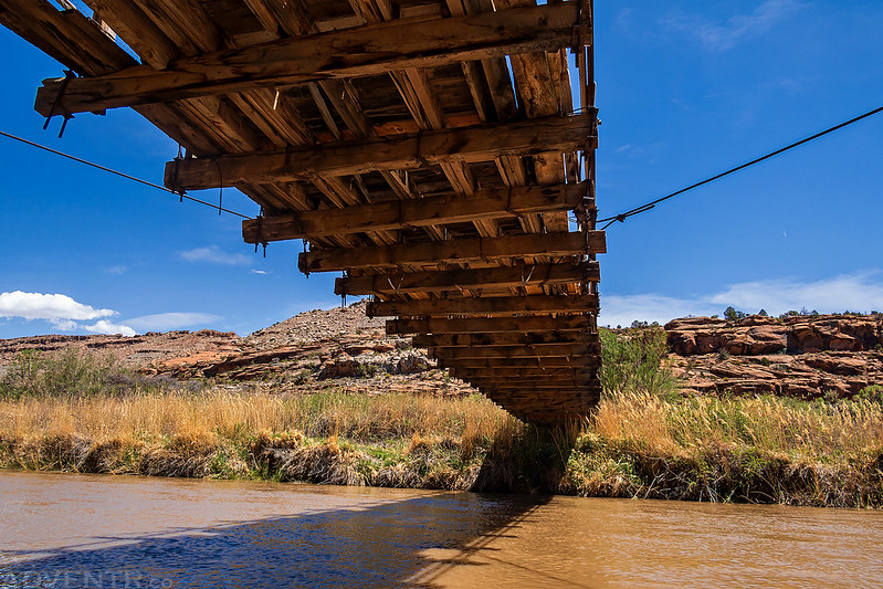
Next we passed under the older bridge. I believe this bridge originally spanned the Colorado River near De Beque before it was moved to this location in 1935.
After passing under the two bridges it was just a short distance to the muddy takeout at the Bridgeport Trailhead where we ended our morning float. We arrived around 1:30pm, just as the wind was really starting to pick up for the day, so we were glad to be getting off the river and had timed it perfectly!
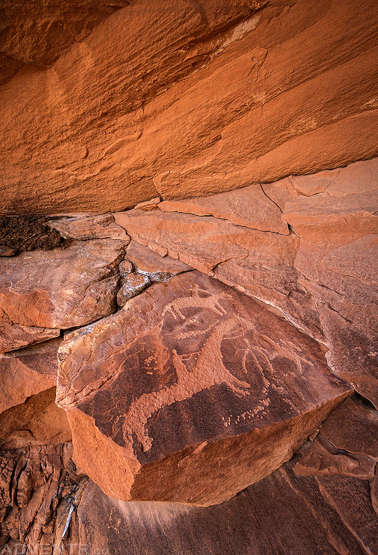
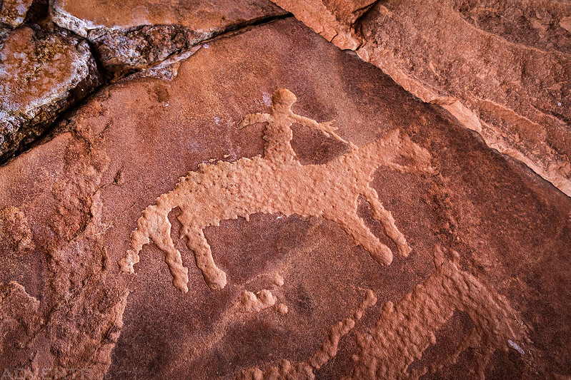
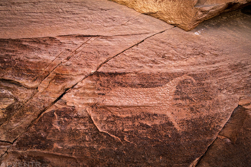
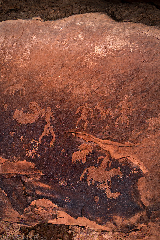
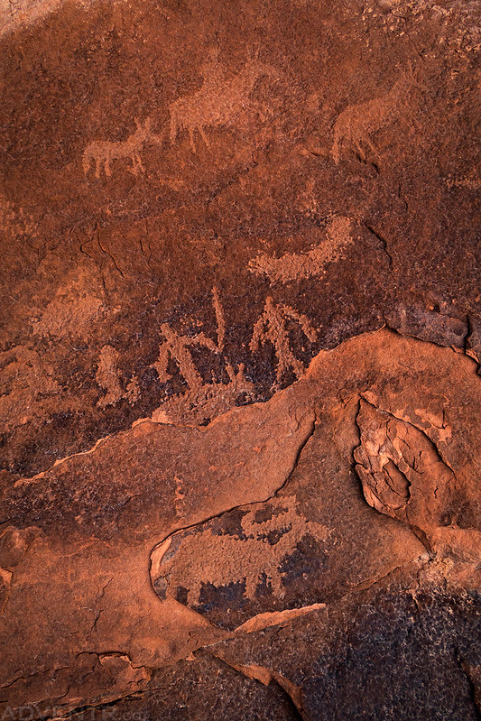
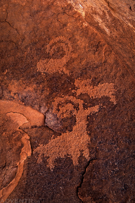
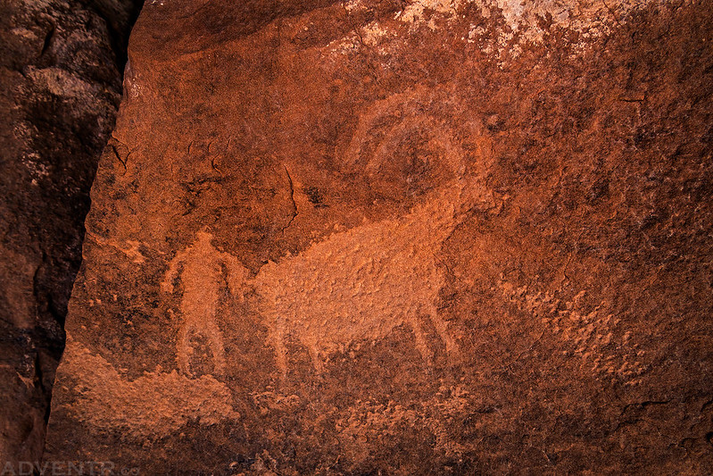
Petroglyphs of the Dominguez Canyon Wilderness
Of course, I stopped to search for some Ute petroglyphs in the Dominguez Canyon Wilderness along the way, so here are a couple photos of what I found.