Press "Enter" to skip to content

Tag: west fork

Cave Point to Fiftymile Creek

Canyons of the Escalante | Thursday, October 15, 2026

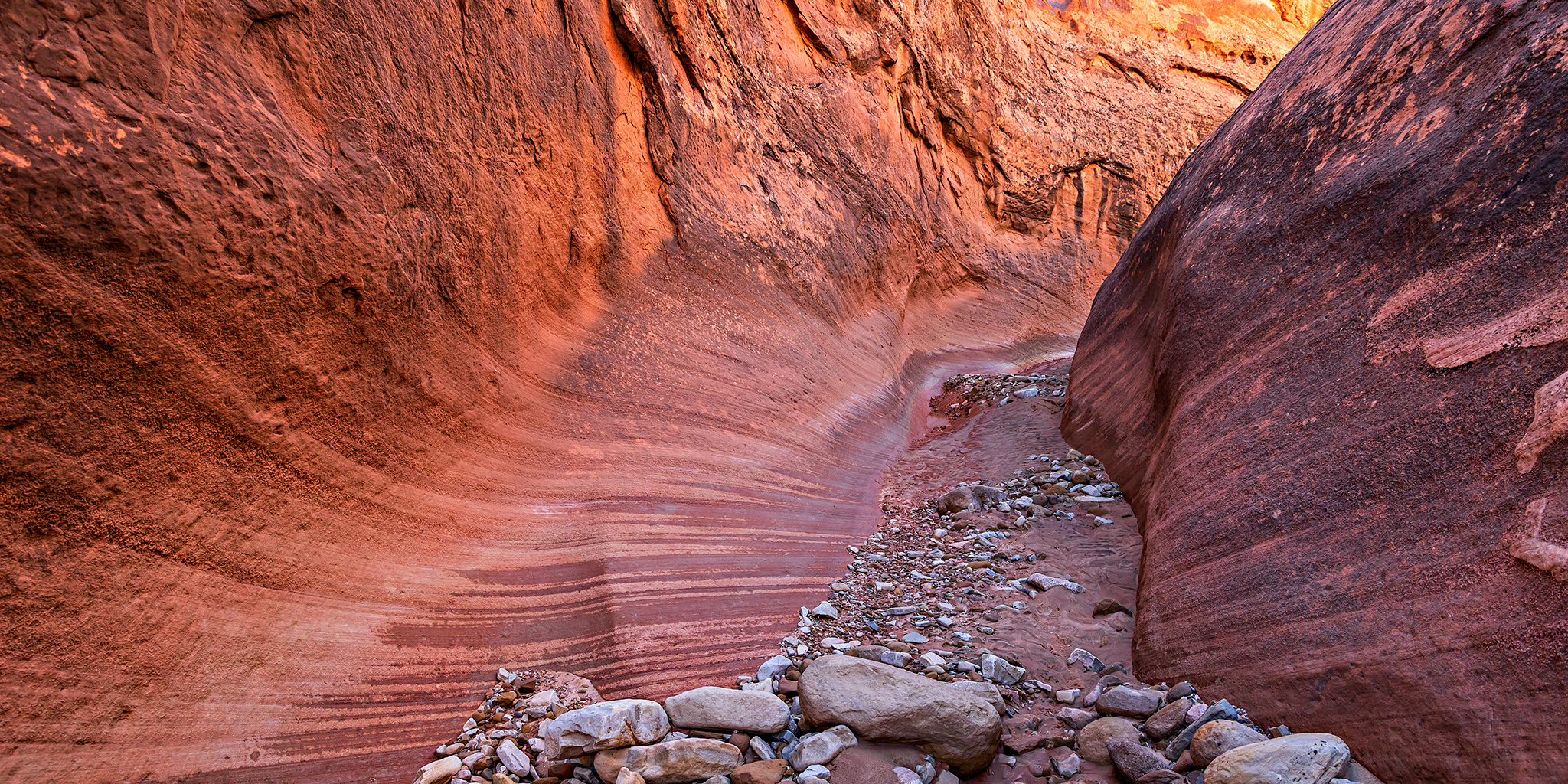
After a very wet start to the week, we finally made it out the Hole-in-the-Rock Road to the Sooner Rocks late on Wednesday afternoon, ate our dinners and then went to bed after dark. I got a great night of sleep and we both woke up shortly before sunrise on Thursday morning so we could spend the day hiking into Fiftymile Creek. We had been planning to hike into Fiftymile Creek back in 2022 after our hike into Davis Gulch, but I got sick on that day and headed home early instead, so I was really looking forward to getting back and finally getting to go on this hike!

Leave a Comment
Buckskin Basin: North Lost Trail to Avalanche Pass

Maroon Bells – Snowmass Wilderness | Saturday, August 8, 2026

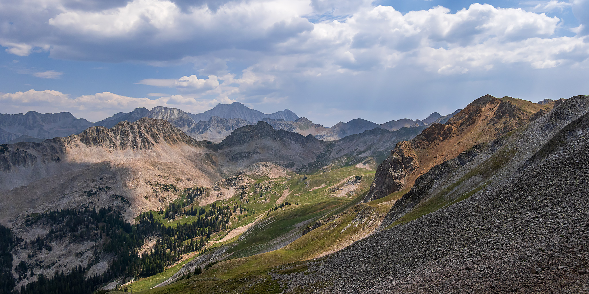
This weekend I had some stuff I needed to get done around the house on Sunday so Diane and I just headed out for a day hike into the Elk Mountains near Marble on Saturday. Typically I only hike into the Maroon Bells – Snowmass Wilderness once each summer, but I guess I have felt like spending more time there this year since this was now my third visit! We left home bright and early on Saturday morning and made our way around the Grand Mesa, over McClure Pass to Marble, and then followed Lost Trail Creek until we reached the trailhead at the mouth of the North Fork. Although it’s been pretty smoky around here lately from many wildfires across the West, the weather forecast was calling for the patchy smoke to clear up after 9:00am and I was hoping that they were correct.

2 Comments

Buck Canyon: Rambling Around Robbers Roost V

East Fork of Buck Canyon | Friday & Saturday, April 28-29, 2023

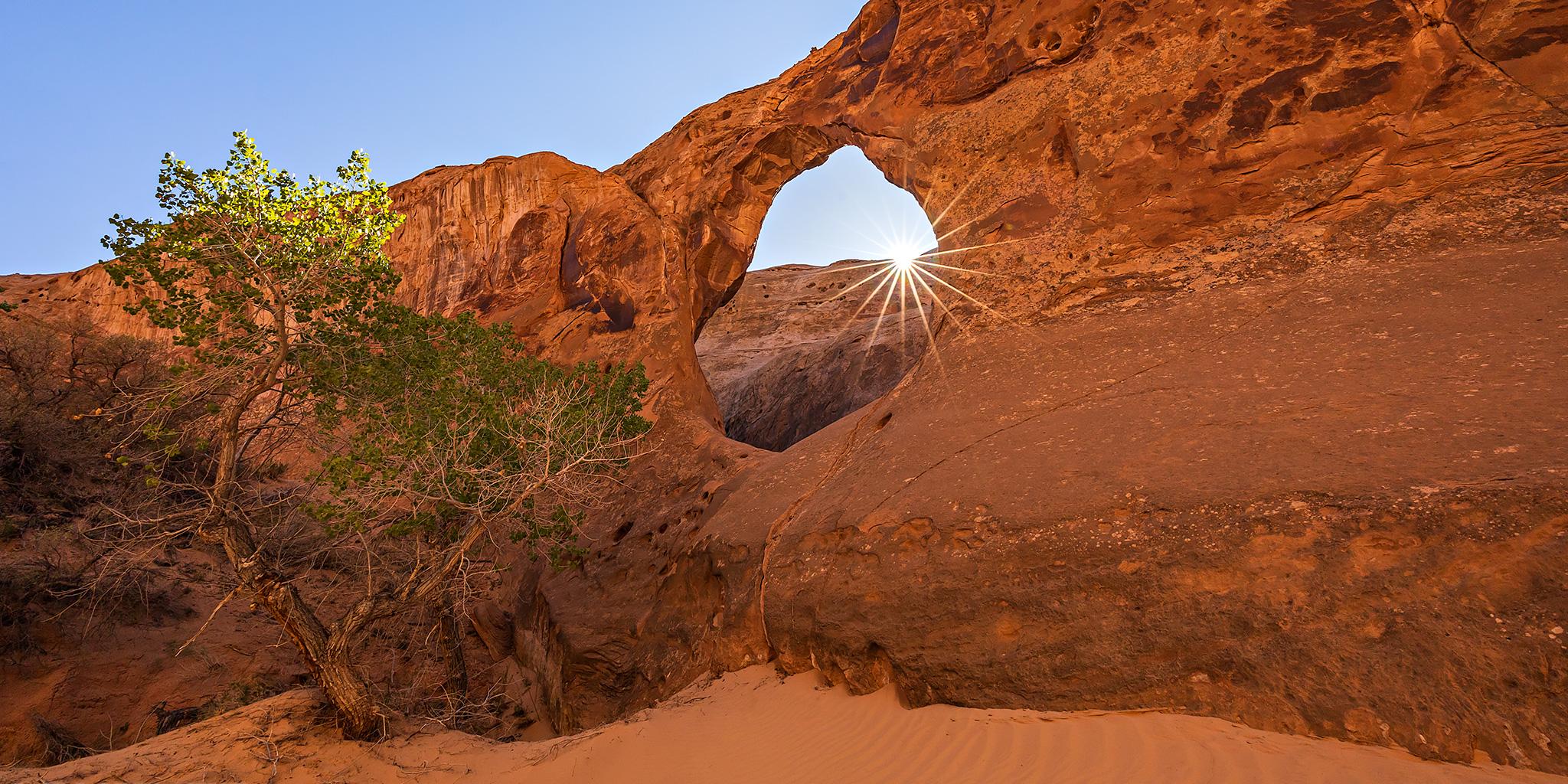
This weekend I needed to spend some time on Sunday preparing for an upcoming River Trip, so I decided to stay closer to home and do a little more hiking in the Robbers Roost area on Saturday morning. After visiting the mouth of Buck Canyon during our short float on the Dirty Devil River two weeks ago, I thought it might be nice to hike into the canyon from above and visit two large arches that are found there. I left from work on Friday afternoon, topped off my gas tank in Green River and then drove across the San Rafael Desert to the edge of Buck Canyon on some sandy backroads that I had never driven before.

Leave a Comment

Blue Mountain Shadows: Beef Basin to Cedar Mesa

Southern Utah Wanderings | Friday – Friday, October 1-8, 2021

This year for our annual week-long trek into Southern Utah, Jared and I started out in the Beef Basin area and then we explored our way over to Cedar Mesa. It has been a while since either of us had spent much time around Beef Basin and I was also really hoping that we would be able to spend some quality time around the Dark Canyon Plateau and Elk Ridge areas along the way. The trip started out great and we found plenty of new rock art and ruin sites, but unfortunately the weather did not cooperate with us on the second half of this trip and we had to change our plans multiple times because of storms and slick muddy roads. At one point we even stopped to help winch a truck back onto the road that was sliding off. One of the unexpected benefits of the poor weather was that it chased us closer to the Abajo Mountains than we were originally planning to go, and they were in peak falls colors at the time! At the end of the week we found out that President Biden was restoring the original boundaries of Bears Ears National Monument, which was fitting since we were sitting in camp within the newly restored boundary. I’m not going to get into the nitty-gritty details of this trip, so please enjoy plenty of photos from our journey below.

4 Comments

Courthouse Mountain

Fall Colors 2014
Saturday & Sunday, September 20-21, 2014

On Saturday, Diane and I headed back down to the San Juan Mountains again so we could climb to the top of Courthouse Mountain in the Cimarron’s . While this mountain is short compared to the surrounding peaks in the area at only 12,152 feet, it is uniquely shaped and has over 1,000 feet of vertical prominence. It’s also a very distinguishable peak near Owl Creek Pass that is often photographed, especially in the fall when the surrounding mountainsides are changing colors. I have seen this mountain in the skyline for many years when I would drive to Ouray and Silverton, and decided it was finally time to climb to the top a few weeks ago when I had a different view of it during our hike into Wetterhorn Basin. While there were afternoon storms predicted after 3:00pm today, we didn’t need to get too early of a start for this hike since it’s a relatively short trail, clocking in at just under 2 miles, but it climbs almost 2,000 feet of elevation in that short distance.

Leave a Comment