High Uintas Wilderness | Thursday – Sunday, August 1-4, 2024
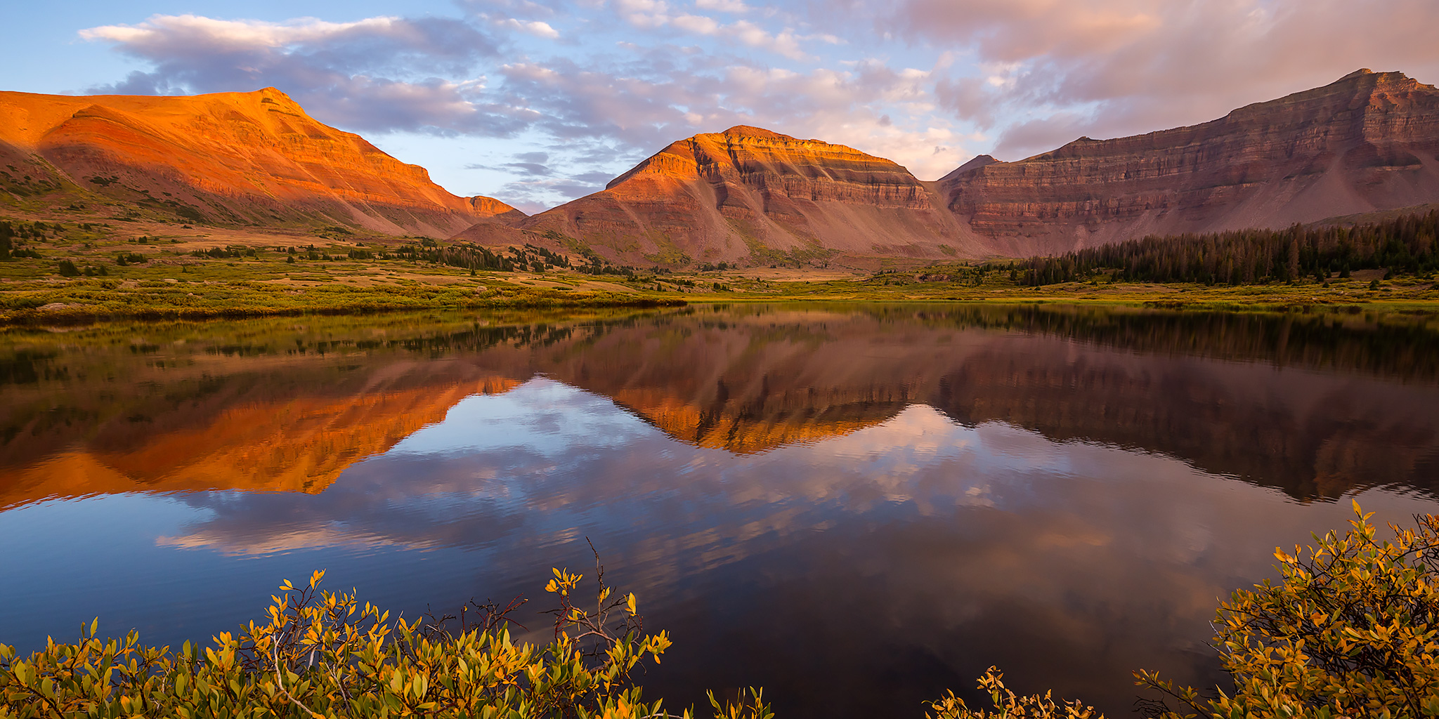
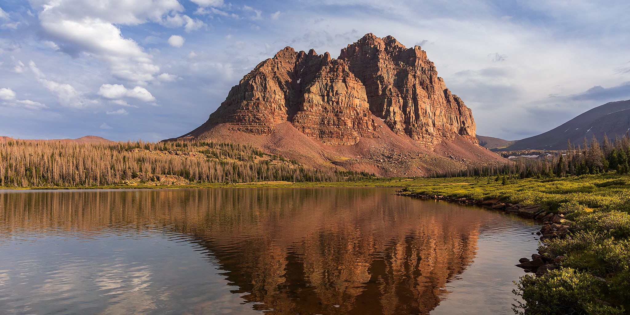
After Diane and I backpacked into Henrys Fork and then hiked to the summit of Kings Peak in the Uinta Mountains back in 2018, we had talked about returning to the High Uintas Wilderness every other year for a new backpacking trip. Unfortunately, we did not keep up with that idea and have not returned since that trip, but this year I was determined to finally get back and planned for us to spend a couple nights near the Red Castle in the East Fork of Smiths Fork, which is a location I have wanted to visit for quite a long time. Although I would have preferred to do this trip much later in August, Diane was pretty busy at that time and the only weekend that work for both of us was the first weekend in August, so that’s when we would have to go. We left from home after Diane got out of work on Thursday evening and drove up to the Red Canyon Campground within the Flaming Gorge National Recreation Area and arrived shortly after dark. We quickly got our tent set up and were in our sleeping bags by 10:00pm.
Leave a Comment