The Plateau Provence: Peaks & Plateaus of the Colorado Plateau, Part III
Friday – Sunday, July 19-21, 2024
After spending two weekends exploring the High Plateaus of Utah last summer, I have been looking forward to getting back out into that high country again this year and thought this weekend would be a good time to do so. This time I decided to head up into the northern region of the High Plateaus and planned to start at the edge of the Tavaputs Plateau before making my way westward to the Gunnison Plateau (San Pitch Mountains) while driving some of the backroads in the area and visiting a couple new highpoints along the way. My timing for this trip couldn’t have been much better since the weather forecast was predicting very wet and stormy weather throughout the mountains of Colorado the entire weekend, while it seemed that Central Utah was going to be staying mostly dry, aside from the typical afternoon thunderstorms. Just like last year, I had a great time exploring this region and am hoping to get down to the Southern Plateaus later in the summer.
Highpoint of the Tavaputs Plateau: Bruin Point
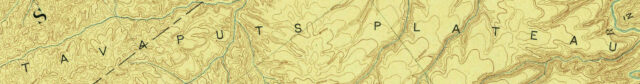
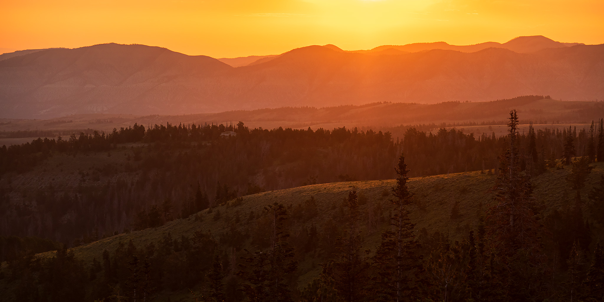
I left from work on Friday afternoon, followed the base of the Book Cliffs into Utah, then headed up Whitmore Canyon and Water Canyon to Bruin Point (10,184), which as far as I have been able to ascertain is the highest point of the Tavaputs Plateau. I had actually tried to drive up to Bruin Point back in May while I was staying around Price for a couple of days, but was turned around by heavy rain that time.
The foot of the Book Cliffs.

The road up to Bruin Point was steep, but in pretty good condition. There are a lot of towers on the ridge near the highpoint.

Bruin 1966

Although the road coming up the west side of the point was dry, a rainstorm had just passed through the area on the east side and left the ground soaked.

I was originally planning to drive down the east side into Dry Creek and Nine Mile Canyon, but the road was too muddy and slick, so I turned around and headed back down the way I had come.

Patmos Ridge

Since I unexpectedly ended up driving to Wellington, I topped off my gas tank while I was there and then followed the standard route into Nine Mile Canyon via Soldier Creek and Whitmore Park.
Although I was running short of daylight and had some ground to cover, I still made time for a quick visit with the petroglyphs at the First Site.


Lovely light and clouds in Nine Mile Canyon.

Roadside Petroglyphs

I left Nine Mile Canyon and drove up Argyle Canyon all the way until it reached Highway 191 near the boundary of the Ashley National Forest.

Strawberry Peak: Reservation Ridge to Soldier Summit
After reaching the highway I drove south a short distance and turned right onto Reservation Ridge Road. It was getting late, so I hurried up the road a few miles hoping to find a campsite before it got dark out.
I was stuck driving through the trees with limited views during sunset, but I managed to catch this view from the top of the ridge at dusk and then found a nice place to camp shortly before reaching Cat Peak.

On Saturday morning I woke up just in time to watch an amazing display of colors in the sky.

Reservation Ridge Road at Sunrise

There was quite a bit of smoke in the air today, turning the rising sun a dark shade of red as it came up above the horizon.

The colors were a bit more subtle looking off to the south.

Exploring a two-track along the edge of Reservation Ridge.

This was a great place to watch the sun come up and the colors change.

I stopped to take in the views from the summit of Cat Peak (9,758).

The marker at Cat Peak actually pointed to Indian Head, which is located over three miles away?

Cat Peak to Ford Ridge

The view west to Loafer Mountain and Mount Nebo from Cat Peak.

After enjoying the views for a while I continued north along Reservation Ridge.

It wasn’t very long until I reached the short two-track that led to the top of Strawberry Peak (10,335).

There was a large cairn built on the summit.

While I believe the highest point of the Tavaputs Plateau is Bruin Point, there are some sources that say Strawberry Peak is actually the highest point, but I’m not sure I would really consider this area part of the Tavaputs Plateau? If you have any thoughts about this, I would love to hear them in the comments below! Either way, I’ve now visited both, so I guess I am covered!

From Strawberry Peak I followed the deteriorating road across Willow Creek Ridge all the way down to Soldier Summit.

Emery County Highpoint: East Mountain
Since I was right by the gas station at Soldier Summit, I topped off my tank and then followed the Energy Loop Scenic Byway past the Scofied Reservoir and onto the Wasatch Plateau. Last year I had hoped to hike to the summit of East Mountain, the highest point in Emery County, but I was thwarted by a locked gate and short on time, so I was hoping to try again from a different trailhead this time.
This time I drove up onto East Mountain and started my hike from the East Mountain Trailhead.

Although it was later in the morning when I started hiking and clouds were starting to build over the crest of the Wasatch Plateau, I thought I would have enough time to hike to the summit and back before any thunderstorms developed.

East Mountain Trail


East Mountain (10,743)

On the summit of East Mountain looking north.

East 1937

Unfortunately, the storms had built much more quickly than I anticipated and just as I turned around to start hiking down I started hearing thunder and seeing lighting off towards South Tent Mountain, so I made my way back to the trailhead as quickly as I could.

I didn’t stop to take many photos on the way down since I was in a hurry…

After returning to my Jeep, I headed back down to the Miller Flat Road and was stopped for a little bit by an ambulance and helicopter in the road. I have no idea what happened, but someone was taken away in the helicopter before the road was opened again.

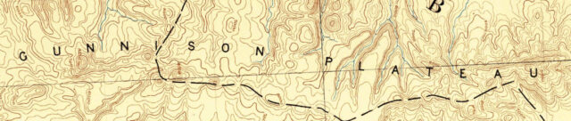
Highpoint of the Gunnison Plateau: Salt Creek Peak
San Pitch Mountains
After returning to Skyline Drive I topped the Wasatch Plateau and then drove down the other side through Fairview Canyon to Fairview where I stopped and ate a late lunch. It had started raining heavily on and off as I drove down into the Sanpete Valley, so when I was done eating lunch I went for a scenic drive into Maple Canyon and then along part of the Mount Nebo Scenic Loop while I waited for the storms to end and roads to dry out.
I could see Salt Creek Peak, my final destination for the weekend, from along Skyline Drive as I made my way to Fairview.

I was originally planning to drive and hike to the summit of Salt Creek Peak on Sunday morning, but after then rain had stopped I decided to see how the roads were up into the San Pitch Mountains this evening.

Overlooking Juab Valley as I hiked to the summit of Salt Creek Peak.

On the summit of Salt Creek Peak (9,997), the highpoint of the San Pitch Mountains which used to be known as the Gunnison Plateau. I have no idea exactly when or why the name was changed?

Salt 1938

Salt Creek Peak to Mount Nebo

San Pitch Mountains

Following the narrow Red Cliff Trail back along the top of the San Pitch Mountains.

Fourmile Creek Overlook

I descended the road back down into Log Hollow and found a place to camp for the night lower in the canyon. It had been a long day so I went right to bed after dark.

Since I had already hiked Salt Creek Peak on Saturday evening, I slept in later than usual on Sunday morning and then left Log Hollow to start my drive back home.

Energy Loop Scenic Byway: Back Across the Wasatch Plateau
I had no other plans left for Sunday, so I just headed back across the Wasatch Plateau to Huntington on the Energy Loop Scenic Byway and then finished the uneventful drive back home. I made a couple quick stops along the way…
It seemed quite a bit smokier out this morning when I stopped at this overlook above the Cleveland Reservoir.

I took a short detour to check out the Sherman Shelter.

There were a couple faded red pictographs in the back of the Sherman Shelter.

My last stop was at the Crandall Canyon Mine, which was the site of two deadly collapses in August of 2007.

Crandall Canyon Mine

Beautiful part of the Book Cliffs. I did some backpacking around Went Ridge several years ago. Saw a bear and lots of small fish in the meadow streams. We used to fish/camp at Weaver Reservoir too, when we were able to get tribal permits. Such an awesome drive from Vernal with views of the La Sals and I think the Henrys too.