Tracing the Historic Route of the 1859 Macomb Expedition, Part II
Friday – Sunday, October 27-29, 2023
I cannot conceive of a more worthless and impracticable region than the one we now find ourselves in. I doubt not there are repetitions and varieties of it for hundreds of miles down the cañon of the Great Colorado, for I have heard of but one crossing of that river above the vicinity of the Mojave villages, and I have reason to doubt if that one (El Vado de los Padres) is practicable, except with utmost care, even for a pack-mule.
Captain John N. Macomb, Jr.
November 1, 1860
It’s now been almost an entire year since I started my quest to follow and explore the historic route of the 1859 Macomb Expedition, also known as the San Juan Exploring Expedition, which contained a small detachment of men who were quite possibly the first non-native Americans to view and describe what is now Canyonlands National Park. During that trip I followed the Old Spanish Trail across Dry Valley from Cañon Pintado (East Canyon) to Casa Colorado and then steadily climbed up Hatch Point until I was at the edge of the rim overlooking Cañon Colorado (Harts Draw) and the greater Canyonlands region. That point was roughly in the same area where Captain Macomb and his men would have had their first view of the region that would later become known as The Needles and where they would most likely have begun their descent to the canyons below in search of The Confluence of the Green and Grand Rivers. This weekend I set out to continue following their historic route as it descended from the rim of Hatch Point into Harts Draw and then I would continue downstream into Labyrinth Cañon (Indian Creek Canyon). Although I had hoped to follow the route segments in order, except that I had planned to start hiking from the bottom of Harts Draw up to the rim since I thought route-finding would be easier in that direction, but stormy weather on Saturday altered my plans a bit and I ended up hiking the segments out of order.
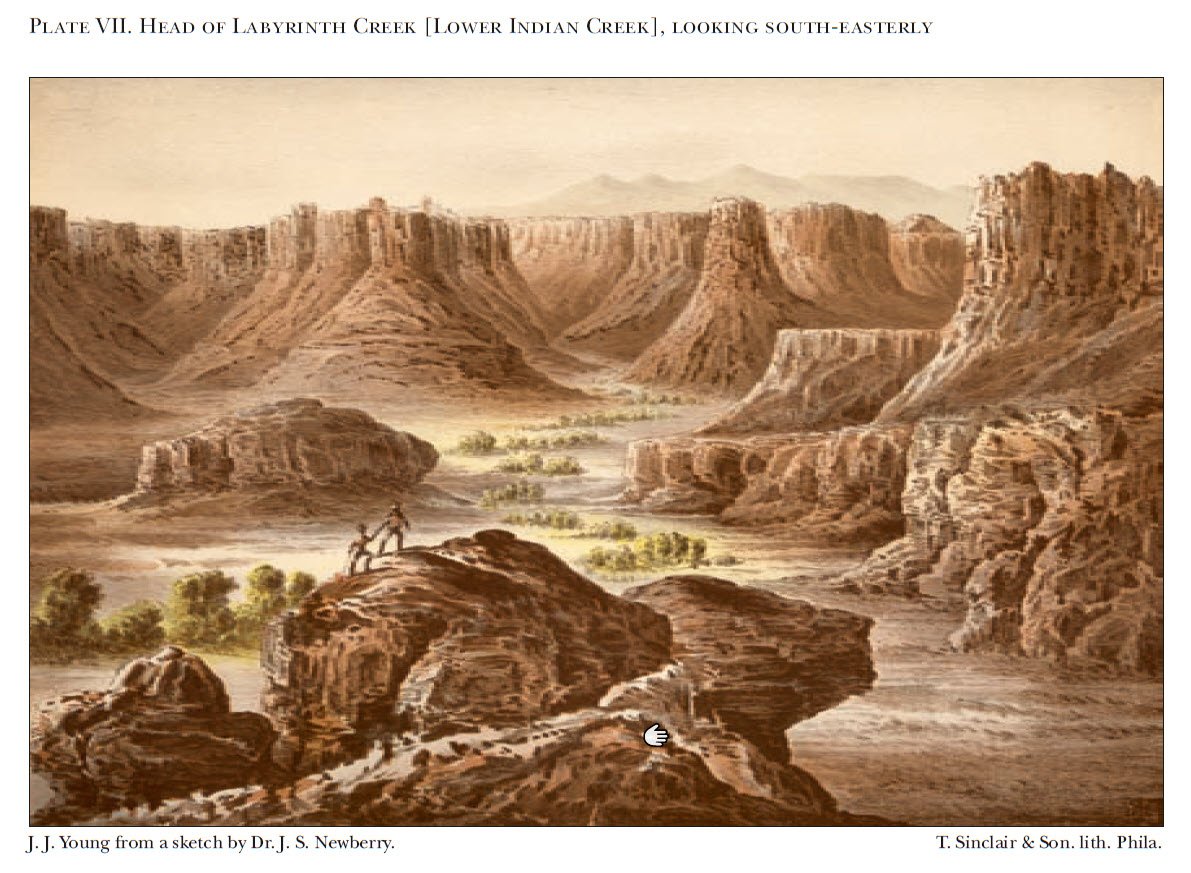
On leaving camp we struck southwest, gradually ascending for six miles, when we reached the brink of a magnificent cañon twelve hundred feet in depth, called, from the prevailing color of its walls, Cañon Colorado, into which with great difficulty we descended. The summits of the cliffs are here nearly five hundred feet above the Ojo Verde, composed of the same rock exposed there, at the base of the section in Cañon Pintado.
Dr. John S. Newberry
August 22, 1859
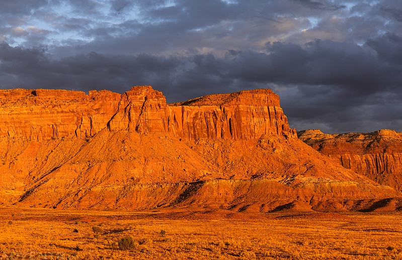
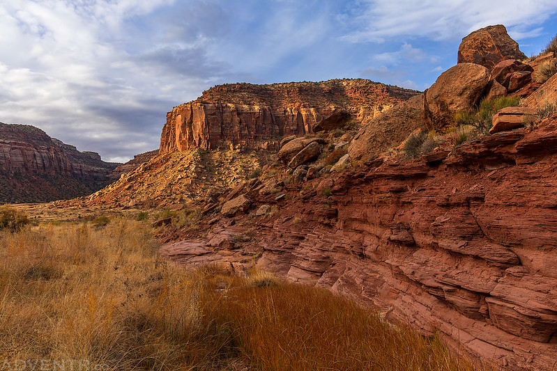
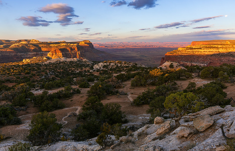
Indian Creek Country: Sunset in Harts Draw
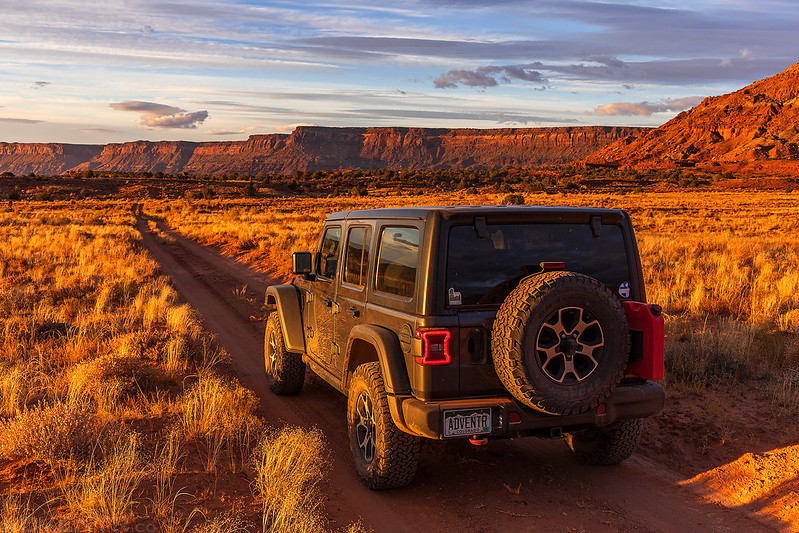
After leaving work on Friday I made my way into Utah, topped off my gas tank in Moab and then headed further south into Indian Creek County for the rest of the weekend. There were a ton of climbers that seemed to be camped everywhere, which is why I prefer to visit this area in January when almost no one is around, but as I followed the sandy two-track towards the mouth of Harts Draw I left the crowds behind and found a nice secluded campsite for the night with great views all around.
The sun was setting as I was driving around the western end of Harts Point and the light was pretty amazing, so of course I stopped for a couple of photos along the way…
Harts Point Sunset
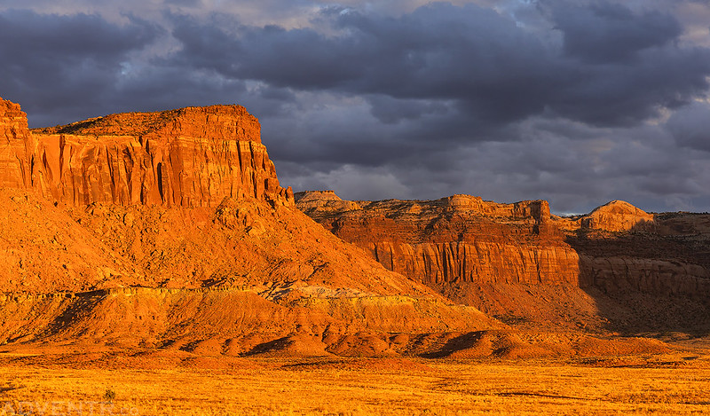
Harts Point

I just love that warm sunset light on the cliffs!
Harts Point Cliffs

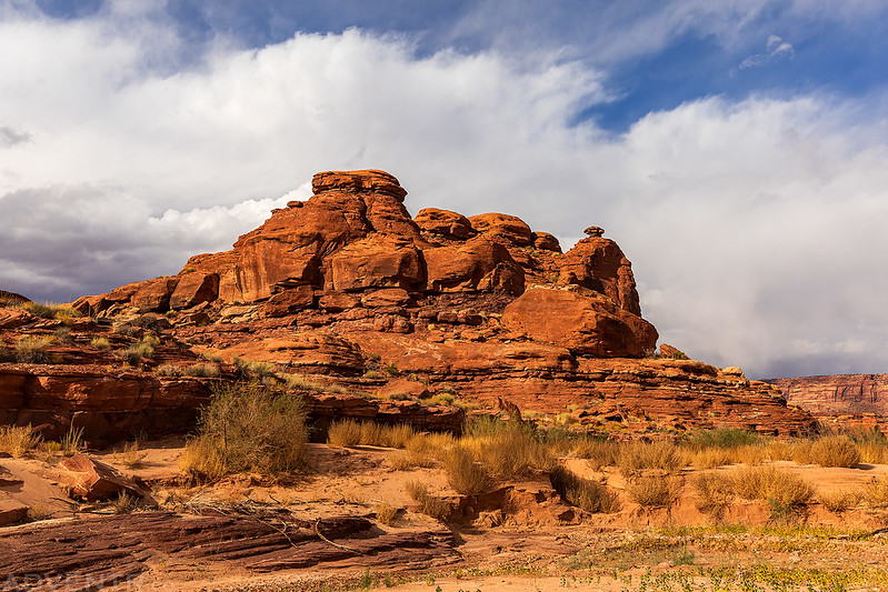
North Six-Shooter at Sunset

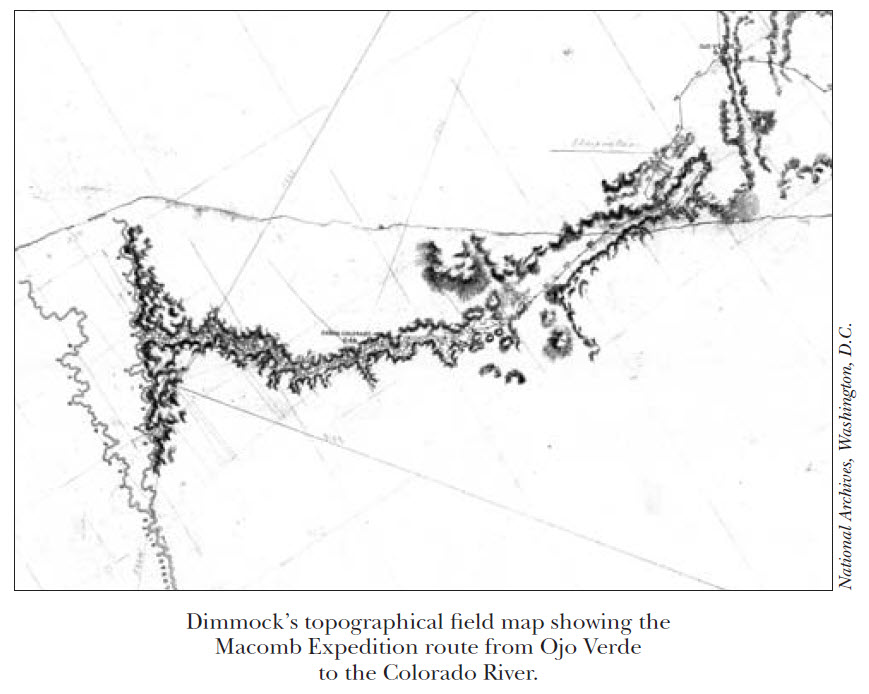
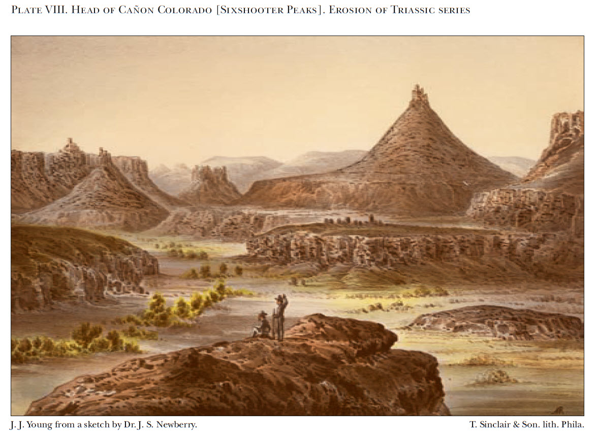
Turning South at the 303rd mile the wall on the left recedes towards the Sierra Abajo & in its place, as the trail advances, a wild of fantastic mesas & isolated buttes extend apparently for 10 miles to the left, eroded into pyramids near whom the greatest of Gizeh would be dwarfed, & castled by basaltic towers grander than that of Babel.
Charles H. Dimmock
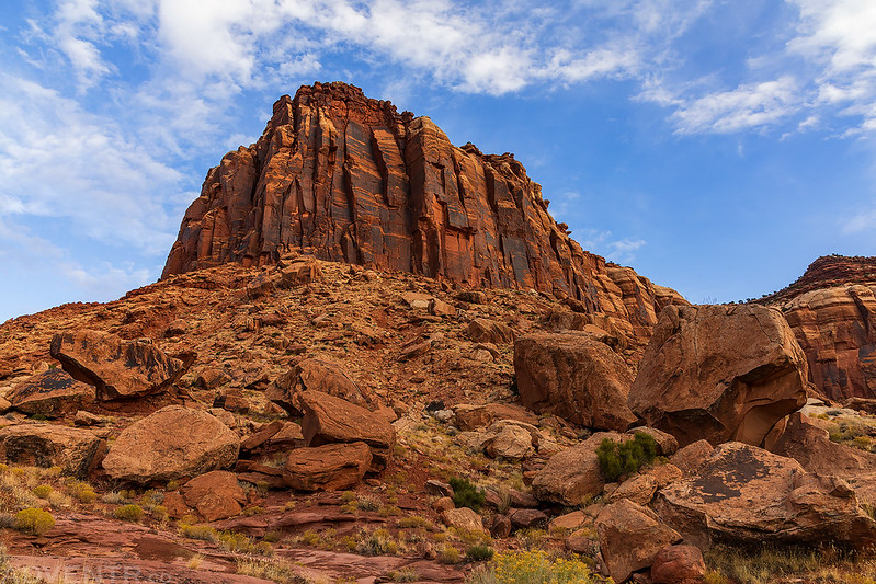
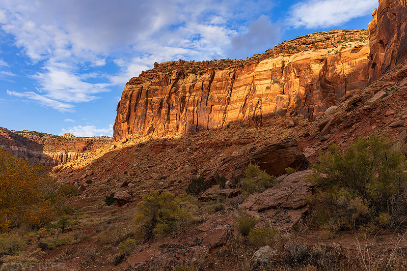
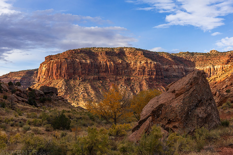
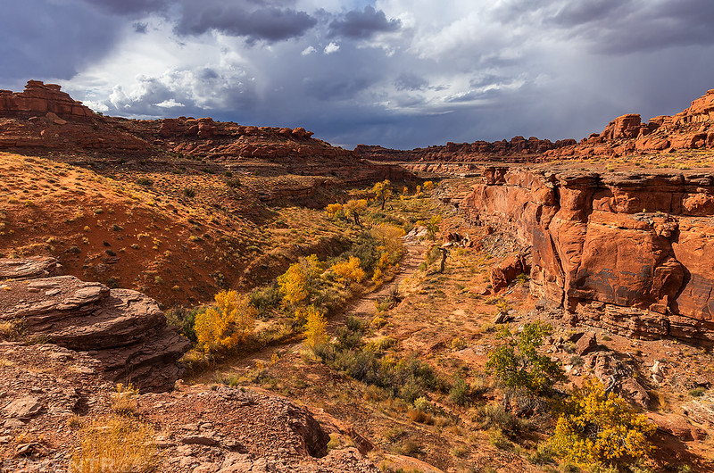
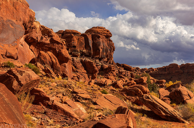
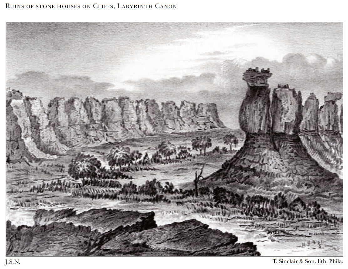
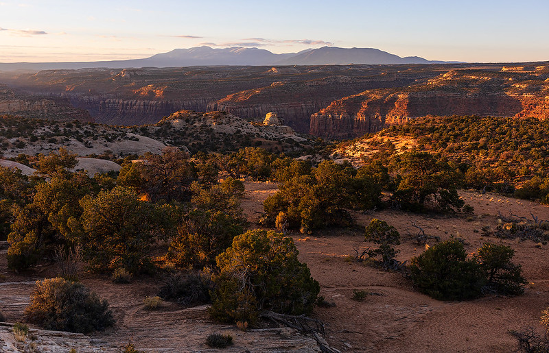
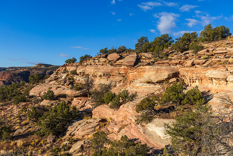
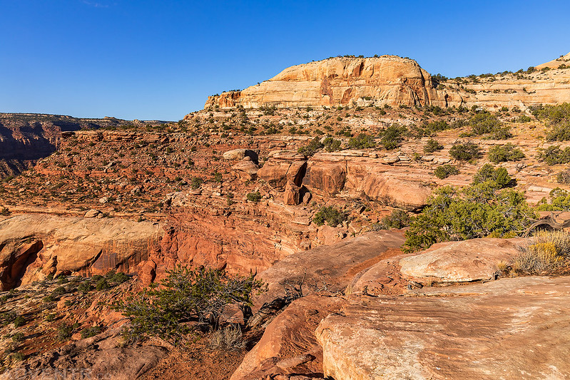
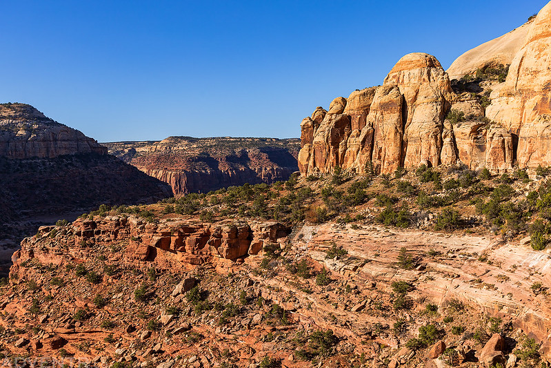
Cañon Colorado: Macomb Canyon to Labyrinth Cañon
Near the mesa we were leaving stand dethatched portions of it of every possible form, from broad, flat tables to slender cones crowned with pinnacles of the massive sandstone which forms the perpendicular faces of the walls of the Cañon Colorado. These castellated buttes are from one thousand to fifteen hundred feet in height, and no language is adequate to convey a just idea of the strange and impressive scenery formed by their grand and varied outlines.
Dr. John S. Newberry
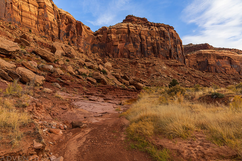
After a warm night filled with on and off rain showers and occasional gusts of wind, I was up at sunrise, even though it was too cloudy for the sun to make an appearance, and then finished driving the two-track road into Harts Draw and parked at the end. From there I hiked a short ways up Harts Draw and then turned up Macomb Canyon, which is the canyon the Macomb Expedition came down through.
Harts Draw

Hiking around this point into the mouth of Macomb Canyon.
At first, the hiking in Macomb Canyon was pretty easy and enjoyable…
The sun even made an occasional appearance, lighting up the canyon walls above me.
Looking back down the canyon to Harts Point.
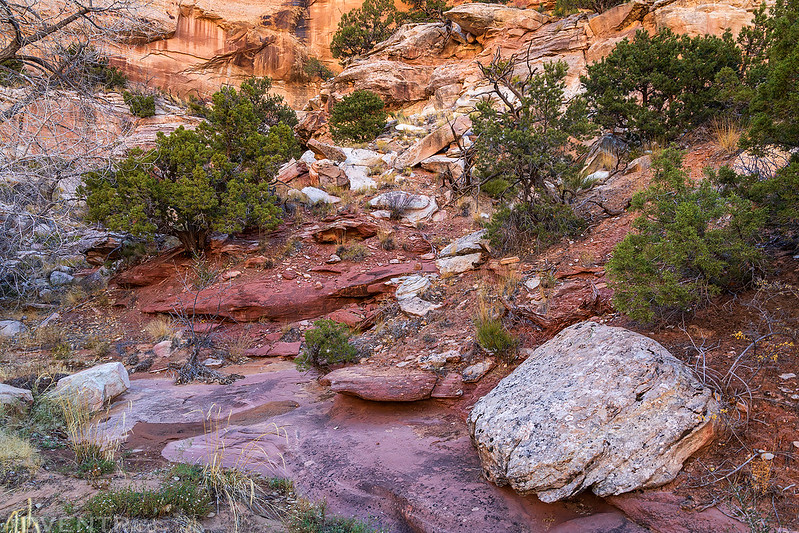
As the canyon got narrower, the hiking got tougher. The wash was choked with vegetation and the bushwhacking was pretty terrible, so I found myself trying to stay on the benches above.

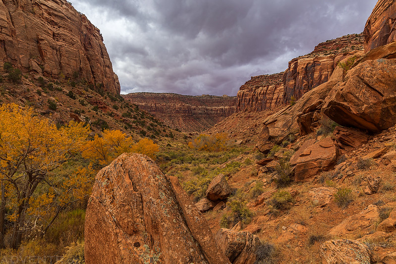
Canyon Clouds

I ended up turning around when I could see the ledge bypass slope, about 1/4 of a mile from Macomb Spring at the head of the canyon, because I had had my fill of bushwhacking for the day and it looked like a storm was brewing.
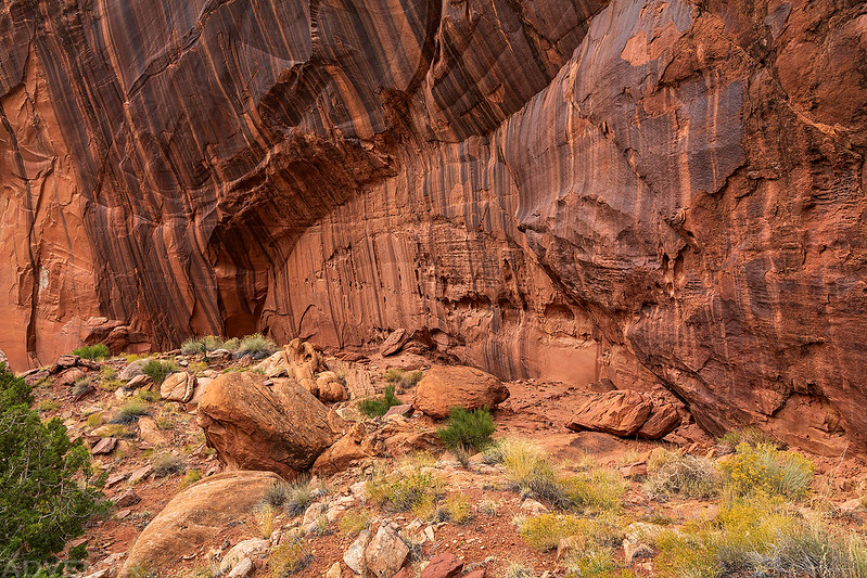
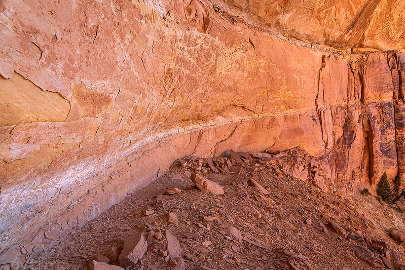
I passed alongside this large striped alcove on the way back as I tried to stay above the bushwhacking below.
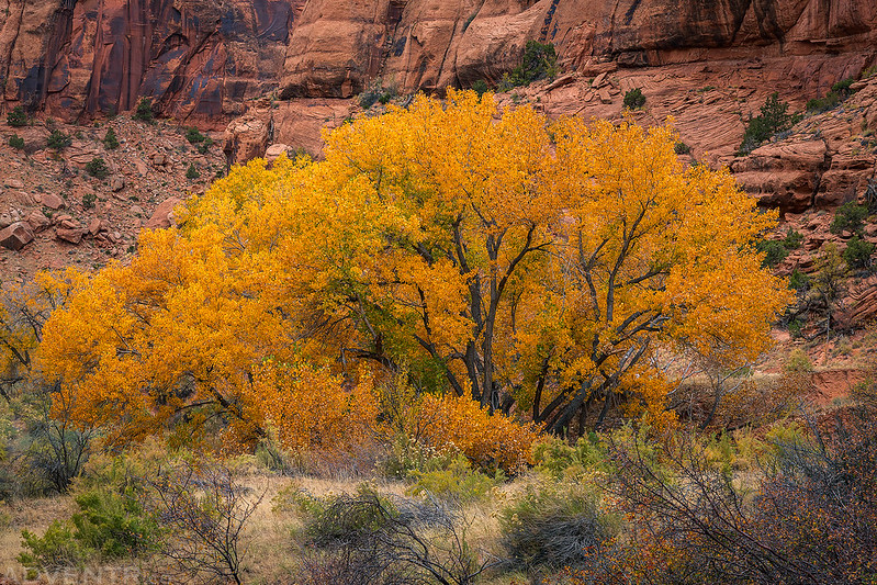
The fall colors on display by the cottonwoods in the canyon were very nice this weekend.


Looking back up Macomb Canyon as darker clouds moved in above.


As I was hiking back down the lower end of the canyon it did start to rain pretty good and I found a large overhanging boulder to duck under for a while until it subsided a bit.
Once the rain let up, I finished my hike back to the Jeep and then drove out past the mouth of the canyon and parked near a crossing of Harts Draw so I could hike down the wash to its confluence with Indian Creek.
Hiking down Harts Draw with the cliffs of Hatch Point dominating the skyline.
Although there still appeared to be storms in the area, there was a bit of blue sky above me during this short hike.
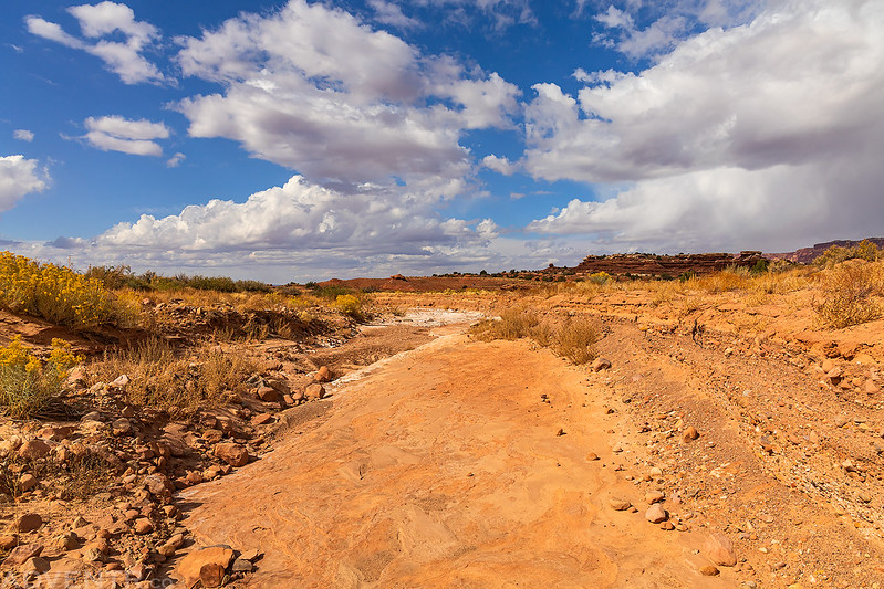
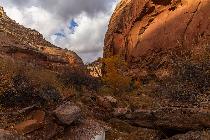
The scenery started getting a little more interesting as I approached Indian Creek.

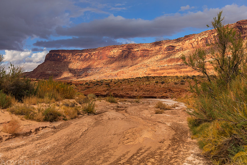
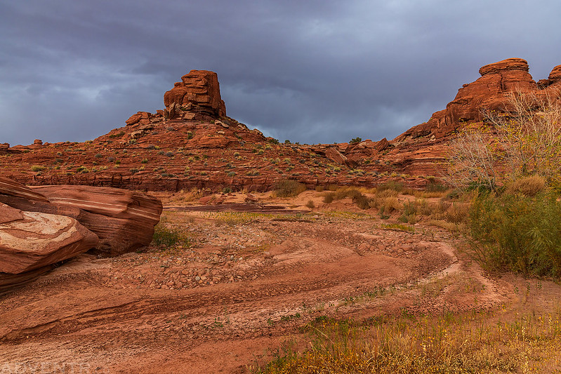
It was a short and easy walk to the confluence with Indian Creek, so the hike did not take me very long. Afterwards, I returned to the highway and then headed over to the Lockhart Basin Road and followed it to the crossing with Indian Creek. The light and clouds were looking pretty nice at this time, so I went on a short drive further along Indian Creek and took a few photos along the way.
Indian Creek Overlook
Sandstone & Clouds

I returned to Indian Creek and then went on one final hike up the wash until I again reached the confluence with Harts Draw from this direction.
Although I could tell that a storm was getting near, I didn’t start getting rained on until I was closer to the end of the hike.

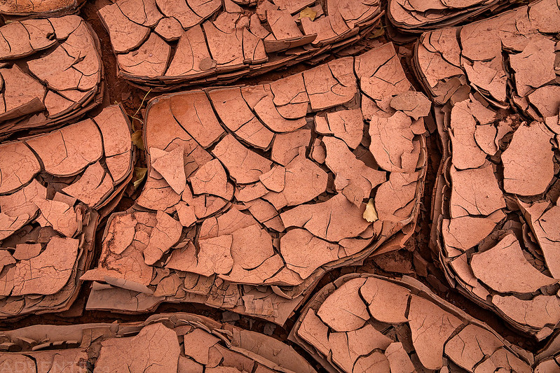
Indian Creek Mud Cracks
The storm was bearing down on me as I hiked the last leg of the wash back to my Jeep. There were even a couple rumbles of thunder at this time.
After returning to my Jeep, I drove a little further back up the road and found an empty campsite with a view where I could stop and eat dinner. It had started raining pretty hard by this point, so I listened to the rain and watched the lightning as I ate my dinner.
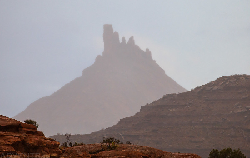
North Six-Shooter Peak seen through the rain.
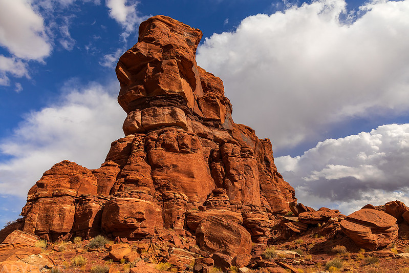
The storm lasted throughout sunset, so even though I had hopes that some nice light might get through, that didn’t happen and I didn’t end up taking any more photos this evening. While eating dinner I was thinking about what I should do on Sunday morning and thought it would be a good idea to head up onto Hatch Point this evening and find a campsite so that I could try hiking down the Macomb Route into Macomb Canyon from the top in the morning. It sounded like a good plan, so I headed up on top of the mesa and found a campsite next to Wind Whistle Rock in the dark.
Hatch Point to Macomb Canyon
To accomplish a descent of some 600 feet to the valley beneath, the trail turns somewhat North of East & winding around the intricacies of the bluff, by a path the trembling mule hesitates to persure, follows up the side, slowly descending from ledge to ledge for 3-1/2 miles, ultimately reaching the bottom of the gorge.
Charles H. Dimmock
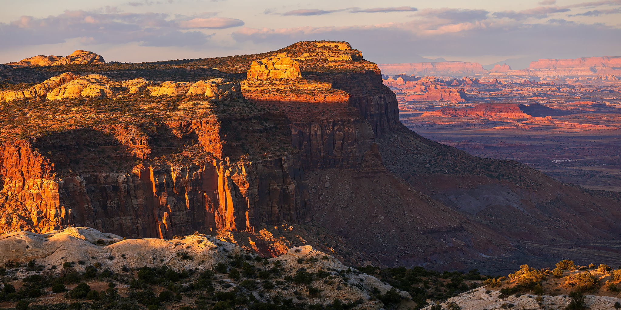
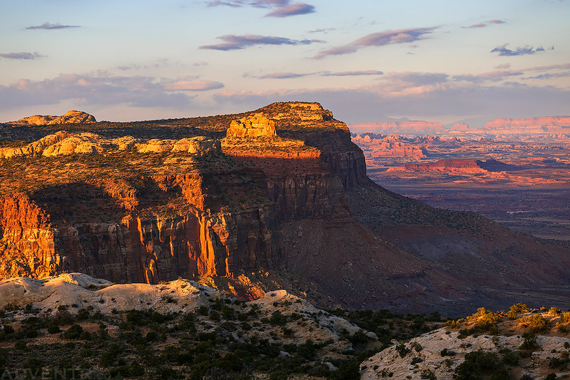
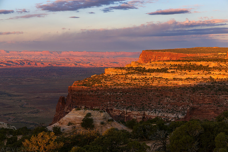
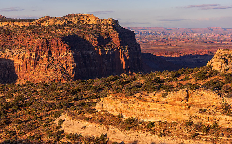
The temperature had dropped pretty significantly with the cold front passing through the previous day, so when I woke up shortly before sunrise on Sunday morning it was a crisp 27 degrees out and I could see there was a coating of fresh snow up on the La Sal Mountains. When I warmed up a bit, I drove over to the edge of Hatch Point just north of Macomb Canyon and arrived just in time to watch a beautiful sunrise.
This is approximately the first view the men of the Macomb Expedition might have had of the Canyonlands region. I think it’s certainly a great way to be introduced to the area!
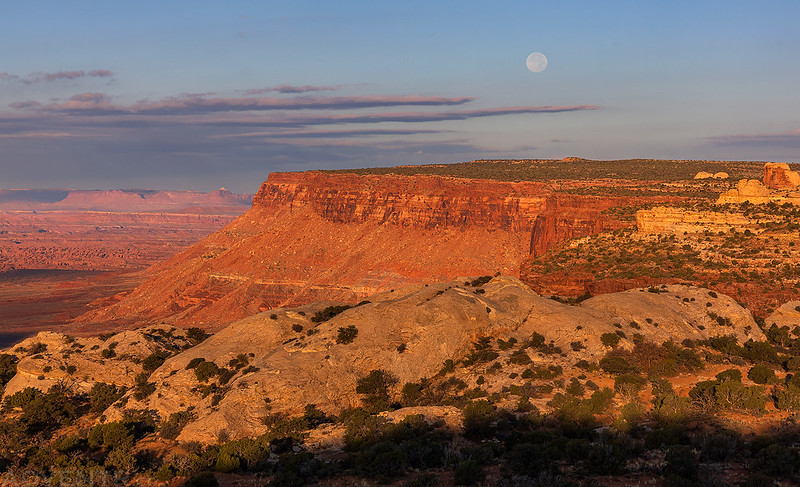
The Hunter’s Moon was bright in the sky this morning, so I pointed my camera in its direction.

A view over the top of Hatch Point.
After taking in the views from the end of the road, I shouldered my pack and started the descent. There were a couple easy cliff bands to get through at first.
Looking across my route over Harts Draw to the Abajo Mountains.
Hatch Point and the Hunter’s Moon
There was a bit of route-finding as I worked my way down through the different levels, but it wasn’t very difficult to find ways through in this area.
Wandering across the sandstone hills.

As I got closer to Harts Draw, I could look to the west and see over the mouth of the canyon towards Indian Creek.

Just finding my way down another ledge…
Once I descended through the Navajo sandstone layer, I reached the top of the Kayenta formation which I would then follow around a couple of side canyons as I worked my way toward the head of Macomb Canyon where it should be possible to descend through the Wingate.
Looking up a little side canyon as I worked my way around a larger canyon.
Whenever I would get closer to the rim of Macomb Canyon I had a pretty good view down into the terrain I had hiked through on Saturday morning. Here you can see some of the nice cottonwoods displaying their fall colors.

To get around another large side canyon, I had to walk the rim below this large alcove.

I did a little exploring of the alcove while I was there…
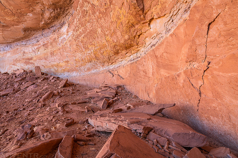
The hike had taken me a bit longer than I anticipated, so after exploring the alcove I decided to turn around and head back.
Although I didn’t quite make it to the head of the canyon this time, I did reach a point that was just above my turnaround point down in the canyon from the previous day. One day I’ll have to come back and try to close the gap which should be a bit easier since I now know the general route. No matter what, it was a great hike and a beautiful area to explore and I look forward to a return visit!
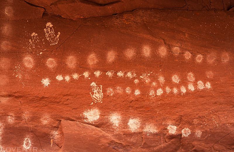
Rock Art Along the Way
Below are a couple photos of rock art that I came across as I followed and explored the route of the Macomb Expedition this weekend.
White Dots and Handprints

Charcoal drawing of a horse.
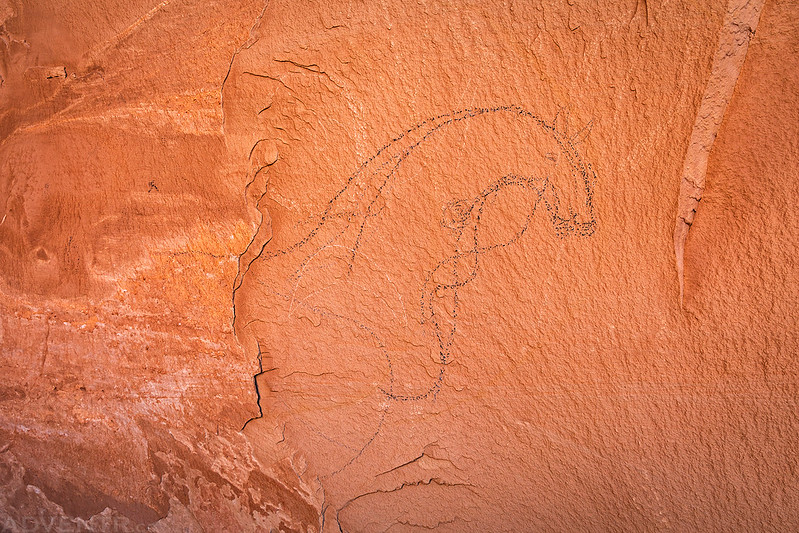
Next to the horse drawing above I found this really nice Ute pictograph which reminded me of the figures I saw at the Ute Mountain Tribal Park a couple of years ago.

>> Exploring Desert Stone, Part II Photo Gallery
If this Trip Report has piqued your interest in learning more about the 1859 Macomb Expedition, you can download a PDF copy of Steven K. Madsen’s book from this link: Exploring Desert Stone
I’ve been tracing the route since the 1980s