Three Directions in the Blue Mountains | Friday – Sunday, August 5-7, 2022
This past week I had been struggling to decide where I wanted to go this weekend as I continually watched the weather forecasts for the mountains since all of them were calling for a large monsoonal surge to enter Colorado which was supposed to create a lot of rain and thunderstorms throughout the high country of the state. On Thursday I decided to look outside of Colorado to the Abajo Mountains, locally known as the Blue Mountains, which had a much milder weather outlook for the weekend, so that’s where I decided to go. As luck would have it, on Friday all the weather forecasters changed their tune about the stormy weather in Colorado for the weekend, but by then I had already set my mind on heading up into the Abajos, plus it has been a while since I did any hiking in this small laccolithic range, so now I was looking forward to getting back!
I left from work on Friday afternoon and made my way south through Moab and Monticello and then headed up into the Abajo Mountains where the light and clouds were looking really nice this evening.

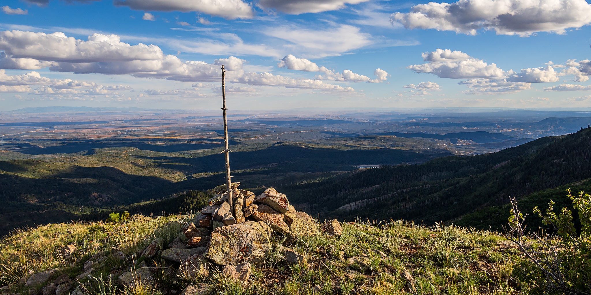
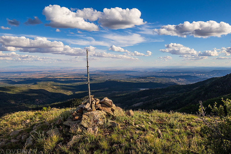
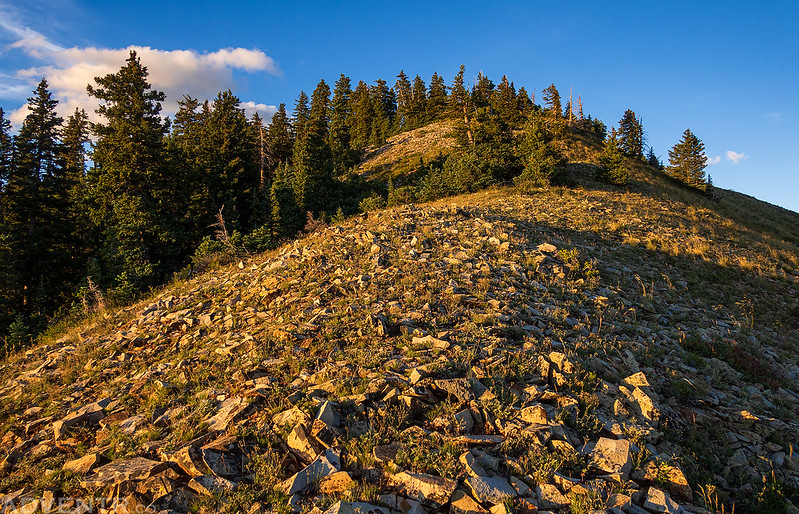
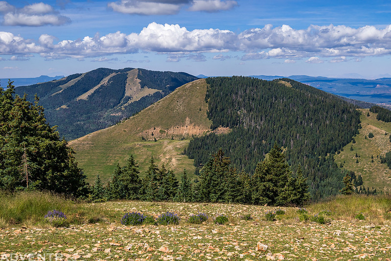
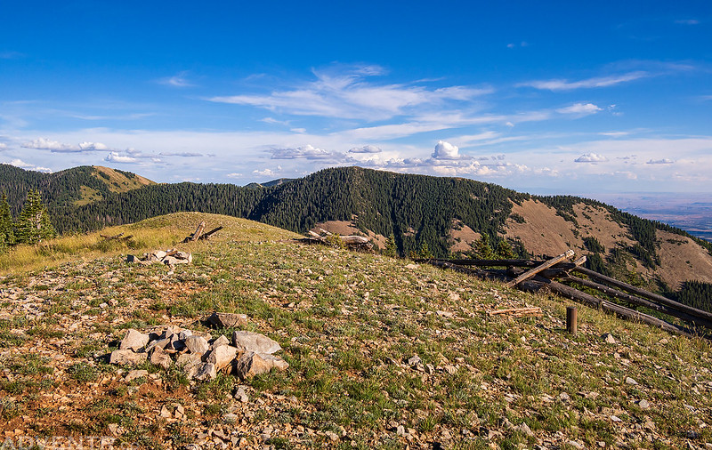
I drove up a rough road onto Jackson Ridge and then went for a short hike to the highpoint of the western portion of the ridge.
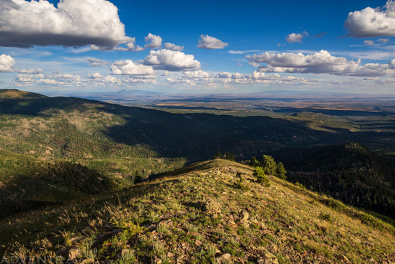
Jackson Ridge, West Summit
From the top I had a good view over to the higher summit of the east part of the ridge, which I had hiked with Jared almost five years ago.

After the short hike I continued on to the end of the road where I had an awesome view to Sleeping Ute Mountain and Mesa Verde on the horizon. Shiprock is also visible all the way on the right. When I was driving up the road I had also encountered a bear walking up the middle of the road, but it took off as soon as it saw my Jeep.

I had arrived at this spot much earlier than anticipated and still had almost two hours until sunset, so I decided to hike to Mount Linnaeus next since I had plenty of time.

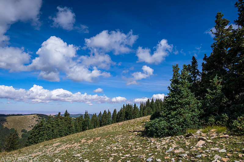
I followed the Skyline Trail into Bears Ears National Monument as it wound around the southern flank of West Mountain.
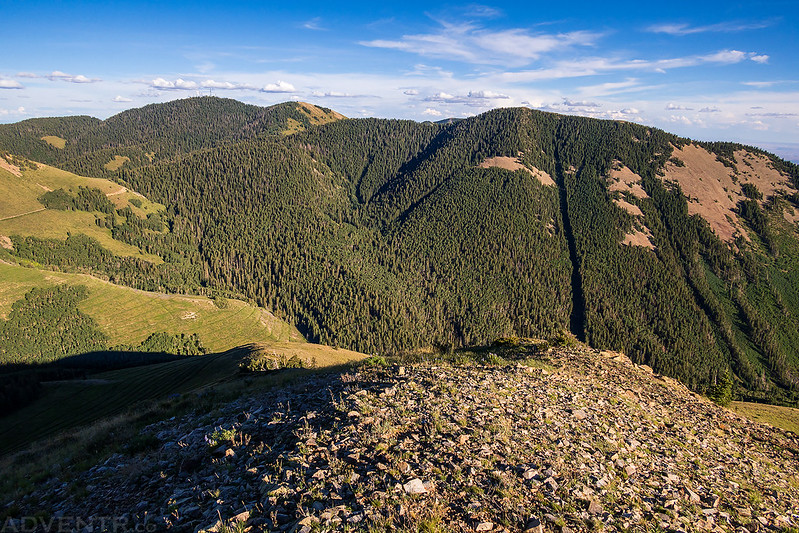
Duckett Ridge

As I started hiking from the saddle between West Mountain and Mount Linnaeus I could see Cathedral Butte off to the west through the haze.

On the summit of Mount Linnaeus (10,959).

Looking off to the north I could see over the top of Shay Mountain (9,989) plus both Six-Shooter Peaks near The Needles.

I could also see the Henry Mountains off on the western horizon.

When I returned to the saddle I still had about 30 minutes until sunset and thought I might be able to make it to the summit of West Mountain before the sun went down, so I started hiking up the ridge.
Looking back to Mount Linnaeus.

The light was looking good on the peaks this evening.

The hike took me a bit longer than I thought it would, and I arrived at the summit of West Mountain (11,014) shortly after sunset.
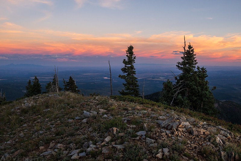
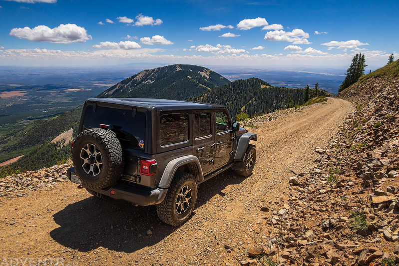
The view over Jackson Ridge to Abajo Peak (11,360) at dusk.

I finished hiking down the ridge to my Jeep and arrived just before it was dark enough to need a headlamp. I headed back down the road, found a campsite nearby and then got into my sleeping bag for the night.
I woke up before sunrise on Saturday morning and drove over to the Robertson Pasture Trailhead so I could start out my day with a hike up to the summit of North Peak. When I arrived I saw there was a sign that stated there was going to be a mountain bike race today on the trail called the Abajo Enduro, but I figured I should be able to hike this peak quickly and get out of the area before the race started.
Sunrise on North Peak from the trailhead.

After following the Robertson Pasture Trail up through the trees, I left the trail near the saddle and headed up the ridge towards North Peak.
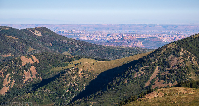
As I neared the summit I found this hazy view through the trees over to Indian Creek Canyon.

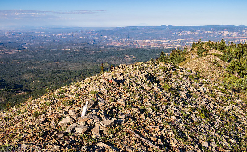
On the broad and flat summit of North Peak (10,824).

As I returned to the saddle I had considered hiking up the other side to Twin Peaks, but I didn’t really feel like finding a way through those trees and wanted to get out of the area before the race started.

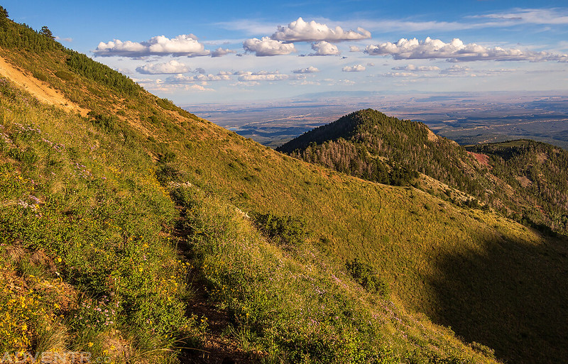
Robertson Pasture Trail

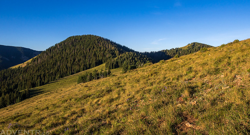
Next, I drove up to the top of North Creek Pass so I could hike to the summit of Horsehead Peak. There was a good view over to West Mountain as I climbed the steep and rocky ridge.

Going up the ridge…

Nearing the first peak on the ridge.

Before reaching the summit of Horsehead Peak, I first had to go over PT 11209.

Then I continued over to the next peak…
There was an amazing view from the summit of Horsehead Peak (11,209) to the La Sal Mountains.

Looking back to the west I could see over Twin Peaks to West Mountain with the Bears Ears in the background.
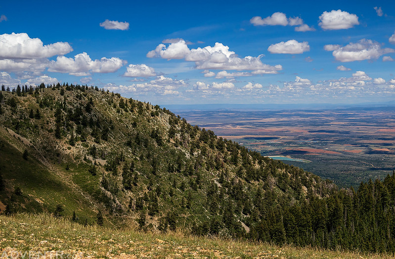
Once I returned to my Jeep at the pass I could see that people were showing up for the race, so I decided to head down into Monticello to grab some lunch and then head up into another area of the Abajos. After lunch I drove up the road to Abajo Peak and took in the views along the way.
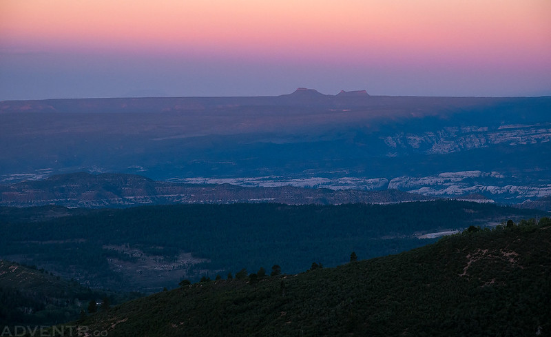
Clouds to Colorado from Dickson Pass.
Jackson Ridge
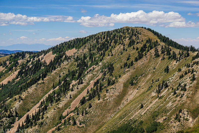
Horsehead Peak & North Peak

Driving back down the road towards South Peak.
The Great Sage Plain

I found a place to get out of the warm sun and listen to an audiobook for a while while I rested and relaxed. Later in the afternoon I was feeling up for another hike and decided to return to the Robertson Pasture Trailhead so I could hike to the higher summit of the Twin Peaks. Thankfully, when I returned it appeared that the race was over and no one was still around.
Instead of finding my way through the trees from the saddle, I hiked straight up the southeast ridge which afforded me this view over Spring Creek to the La Sal Mountains..

Here’s a view of Horsehead Peak with my Jeep parked at the trailhead below.

There was an old fence built across the summit of Twin Peaks (11,012).
There was also a Benchmark from 1936 up here.

Looking cross the headwaters of Indian Creek to Jackson Ridge and Abajo Peak as I hiked back down the ridge.
I returned to my Jeep after the hike, drove around to the south side of the Abajo Mountains and found a place to camp along the North Fork of Verdure Creek. I arrived just after sunset and went right to bed. It had been a long day and I was tired.
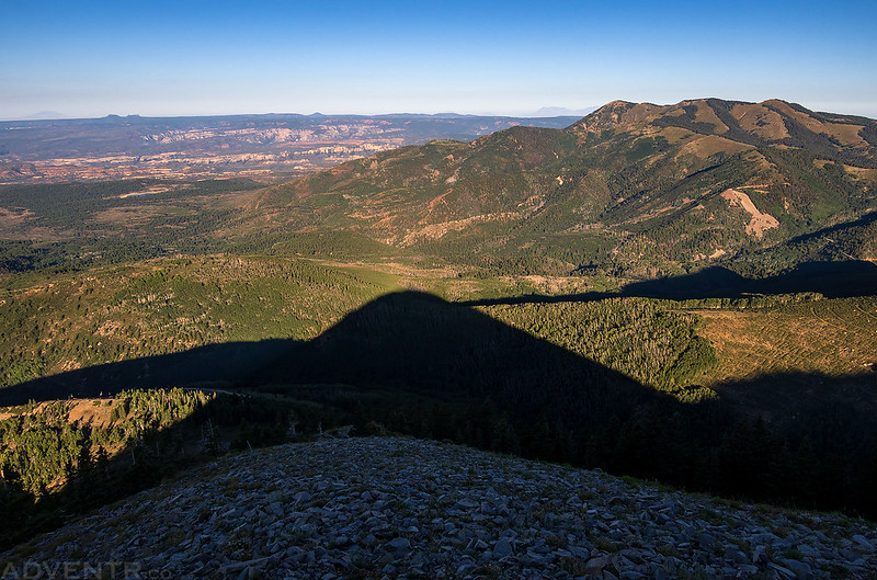
I was up again before sunrise on Sunday morning and had a good view of the Bears Ears at dawn as I drove around South Peak to reach the west ridge.
Looking down on the shadow from South Peak as I hiked right up the west ridge. It was a bit steeper and looser than I was expecting at one point.
Abajo Peak to the La Sal Mountains

Soon I found myself standing on the summit of South Peak (11,122).
Hiking back down the west ridge with the Bears Ears and Woodenshoe Buttes on the horizon.

Looking over Jackson Ridge I could again see Cathedral Butte and Canyonlands through the haze.
Here’s one last view up the west ridge of South Peak before I returned to my Jeep and started heading home. It had been a nice weekend on this ‘sky island’ above the Colorado Plateau!

Great trip report. Love this!
Thanks Sam!