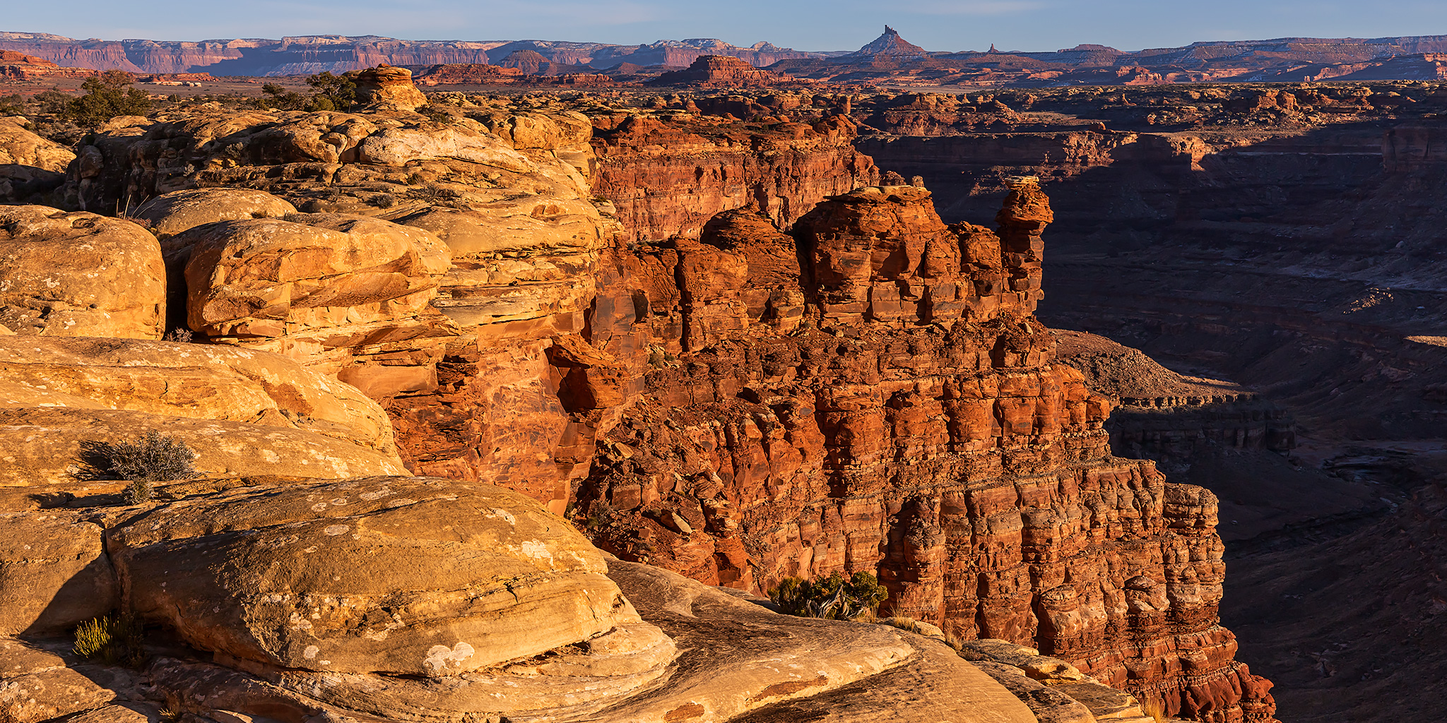
Canyonlands National Park | Friday – Sunday, March 6-8, 2026
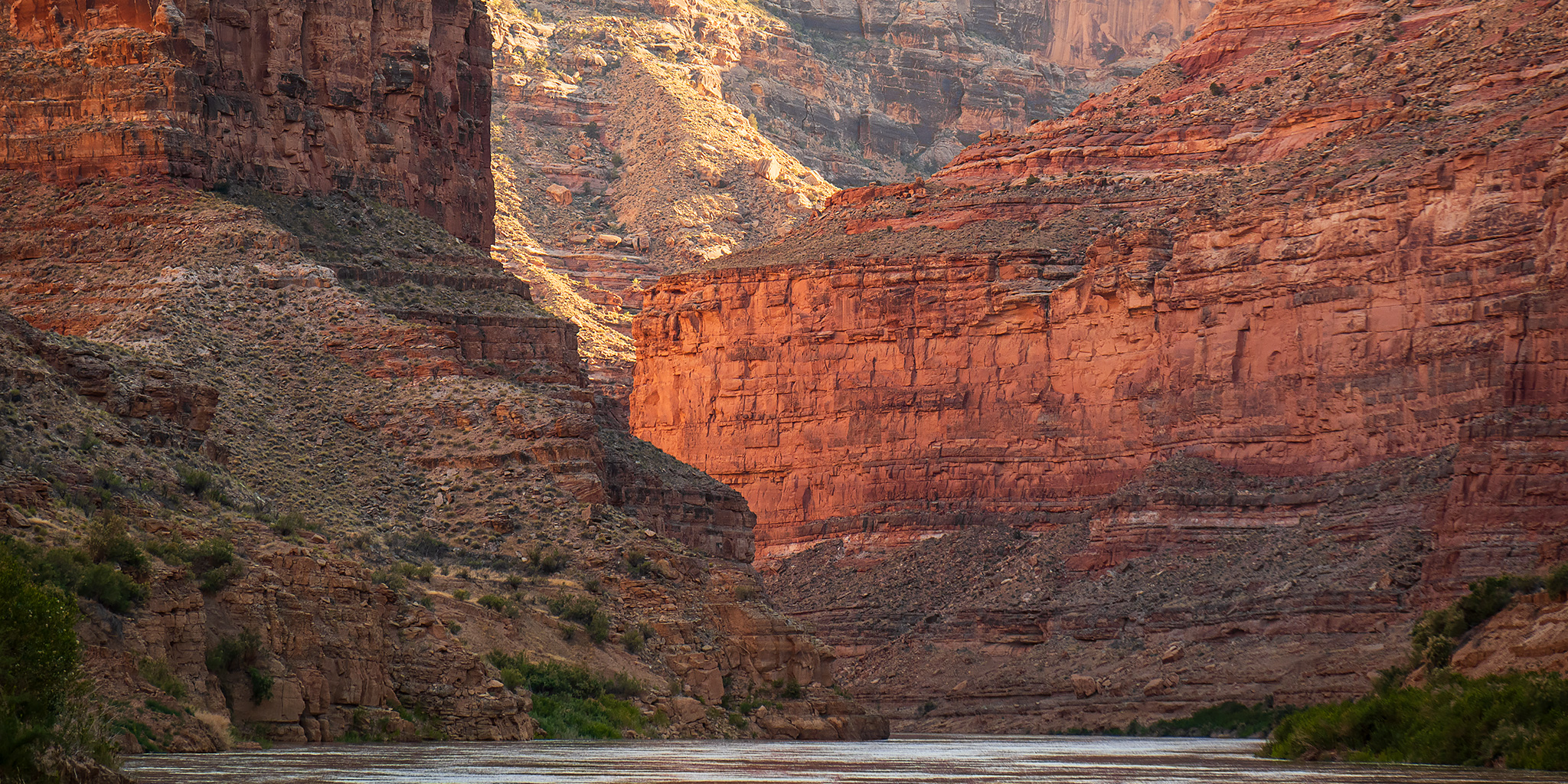
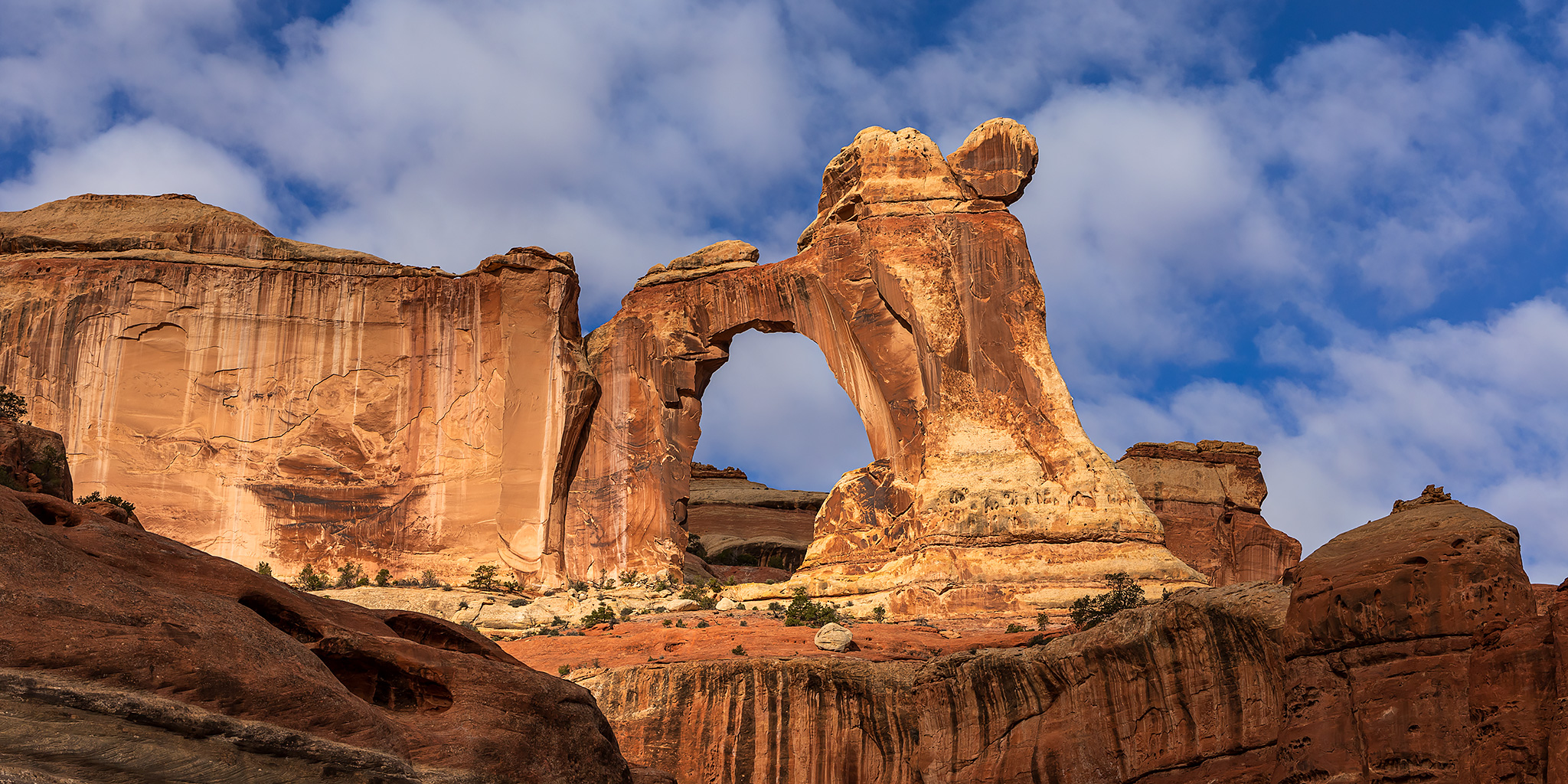
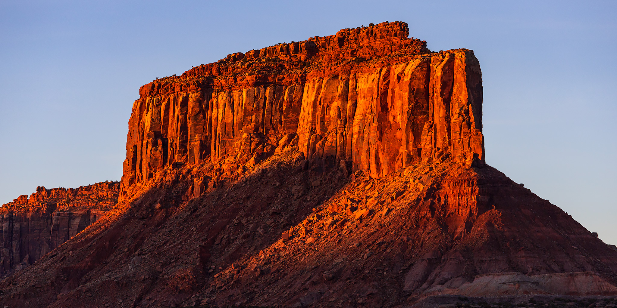
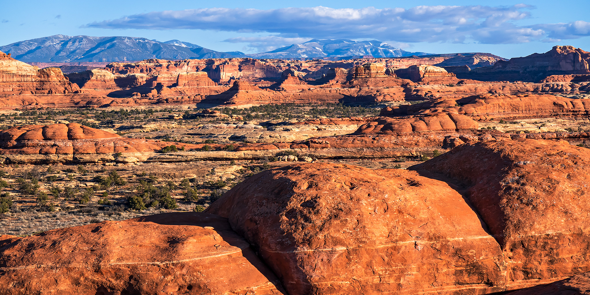
Since I’ve already spent some time in both the Island in the Sky and The Maze districts of Canyonlands National Park this year, I figured this weekend would be the perfect opportunity for me to get back into The Needles so I could knock out all three districts by early March. It’s hard to believe that it’s already been an entire year since I was last in The Needles when Diane and I went backpacking into Chesler Park last March, so I was itching to get back! This time I didn’t really have any set destinations in mind when I left from work on Friday afternoon, I just knew that I wanted to wander off trail across some sandstone benches and through some canyons to see what I could find along the way. I was wanting to make it to the park before sunset since there had been winter storms across the Colorado Plateau all day and I was hoping to catch the storm clearing out at sunset.
1 Comment