Heart of the World | Thursday, November 6, 2025
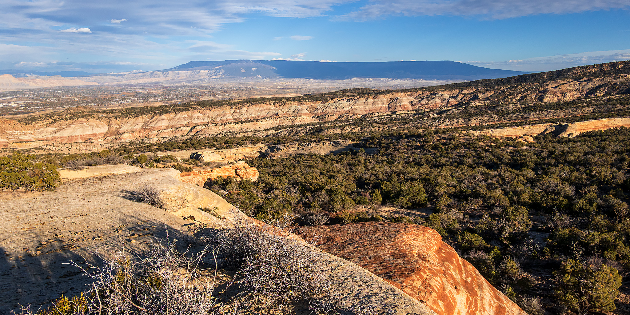
As it’s getting closer to the end of the year and I’m getting very close to completing all of the trails for my Heart of the World project in the Colorado National Monument, I thought today would be a good day to hike the Old Gordon Trail right after work. While this has never really been one of my favorite trails in the Monument, which is probably why I haven’t hiked the entire trail since 2011, that’s part of the reason I started this project and I was a little interested in seeing the trail again with fresh eyes since it’s been so long. After work I headed over to the Devils Kitchen Trailhead and started hiking up the Old Gordon Trail which follows the route of a historic toll road built by John Gordon in the 1880’s that was used to move stock and timber between Glade Park and the Grand Valley. The temperature out this afternoon was mostly comfortable and nice, but it was a bit breezy at times which made it feel cold- but not quite cold enough for me to want to put on a jacket. The round-trip hike was 7.5 miles with about 1700 feet of elevation gain which I finished up in just about three hours.
Leave a Comment