Uneva Canyon & Three Fingers Canyon Loop
Saturday, January 11, 2020
For the past couple of years it seems like I always end up hiking on the San Rafael Reef at the beginning of the year in early to mid-January, so I guess this year is not going to be an exception! Maybe it’s because it’s an easy drive from home on I-70 and makes for a good day trip when there is snow on the ground in the desert. Anyway, this weekend Diane was supposed to go snowshoeing with a couple of her friends on the Grand Mesa so I planned to take it easy and go on a day trip to the San Rafael Reef on Saturday by myself. Although I have visited the petroglyphs at the mouth of Three Fingers Canyon a few times before, I had not really done much else in the area, so I decided to hike a loop combining Uneva Canyon and Three Fingers Canyon that would take me along the front and the back of the Reef in this area. Just like with the Muddy Creek Wilderness, this area also became an official Wilderness Area last year with the signing of the John D. Dingell Jr. Conservation, Management, and Recreation Act.
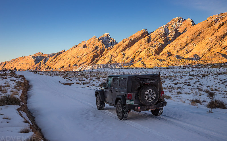
Driving through The Squeeze along the San Rafael Reef on my way to the trailhead near Uneva Canyon. There was snow on the road but it was pretty frozen and it wasn’t supposed to get above freezing today.
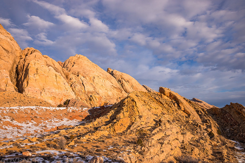
Spine of The Swell
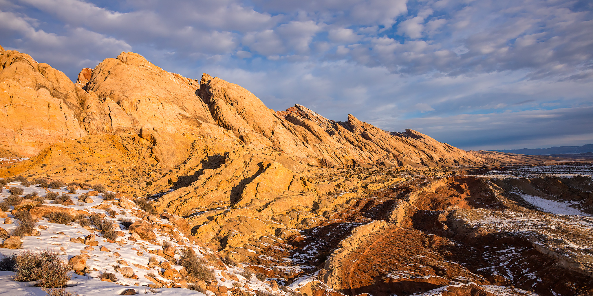
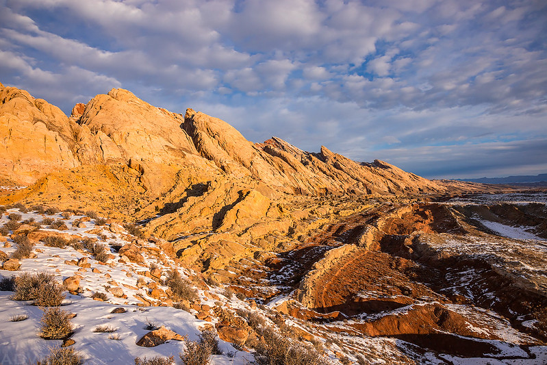
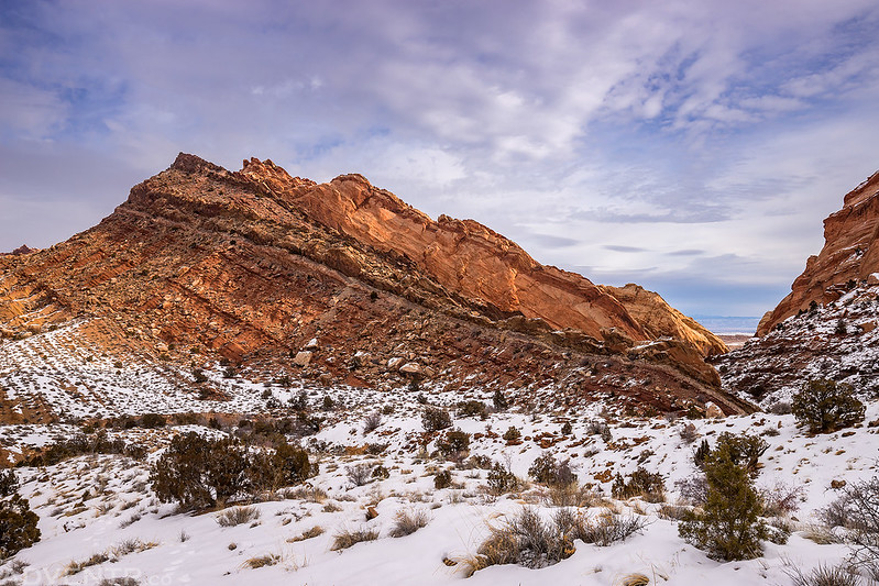
As I started hiking towards the mouth of Uneva Canyon I had great views of the San Rafael Reef looking north.
Making my way over to Uneva Canyon.
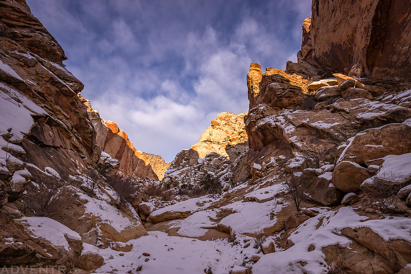
Hiking through the narrows of Uneva Canyon.
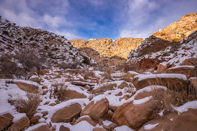
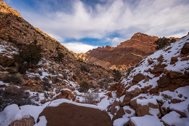
This hike, especially in Uneva Canyon, consisted of a lot of boulder-hopping over snow-covered boulders. It got a little tiring after a while…
I stopped to check out the Uneva Mine along the way.
A collapsed mining cabin under the snow.
An old bed frame.
After visiting the mining ruins I continued boulder-hopping along the back of the Reef as I made my way up to a pass to the next drainage over.
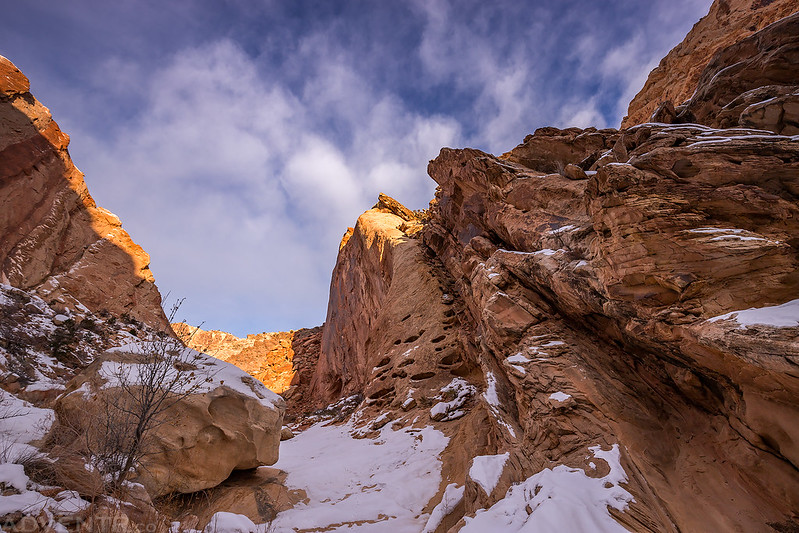
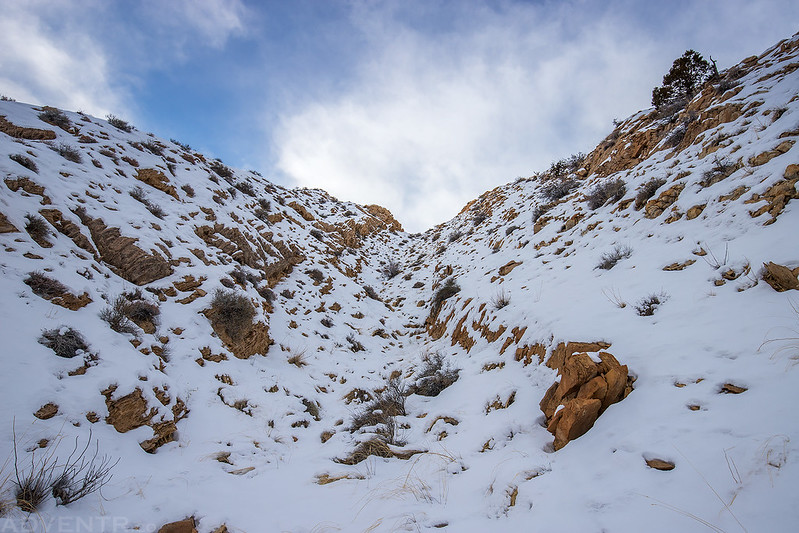
Climbing up the final steep chute to the pass. There was a good couple inches of snow on the north-facing slopes, but very little on the southern slopes. I probably should have put my microspikes on for this climb since the snow was slippery near the top, but I made it without them.
A view from the top of the pass into the next drainage. This was one of the only cairns I would see all day, but maybe there were others hidden under the snow? As soon as I reached the pass a large bank of clouds moved overhead and blocked out the sun for a while. It felt much colder out under the overcast sky.
After descending to the wash I started climbing up to the second pass which would take me into Three Fingers Canyon.
Hiking down through a rocky chute into Three Fingers Canyon.
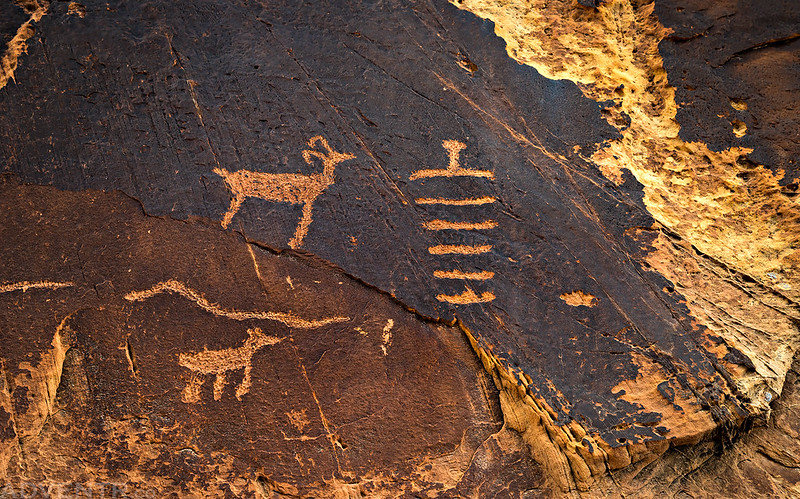
Of course I stopped to visit the petroglyphs at the mouth of the canyon. This little anthropomorph created from lines is one of my favorites found here.
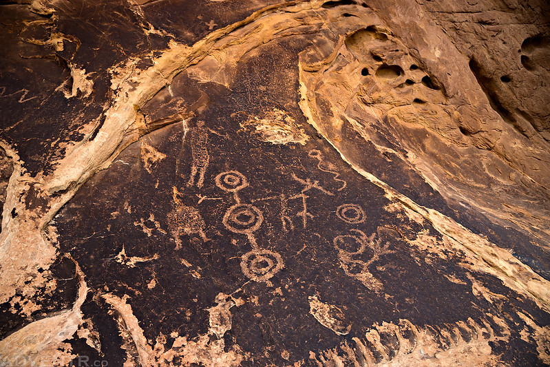
Circles Panel
A really nice section of the petroglyph panel.
Fremont Pictoglyph
After visiting with the petroglyphs for a while it was time to leave Three Fingers Canyon.
From the mouth of Three Fingers Canyon I hiked up and down hills along the front of the Reef as I made my way back to my Jeep at the trailhead.
Although the temperature out was still below freezing, the sun came out again and melted some of the snow and mud along the route which made a few sections slippery and muddy.
A view of Shadscale Mesa to the east.
The Book Cliffs and Beckwith Plateau were visible on the distant horizon.
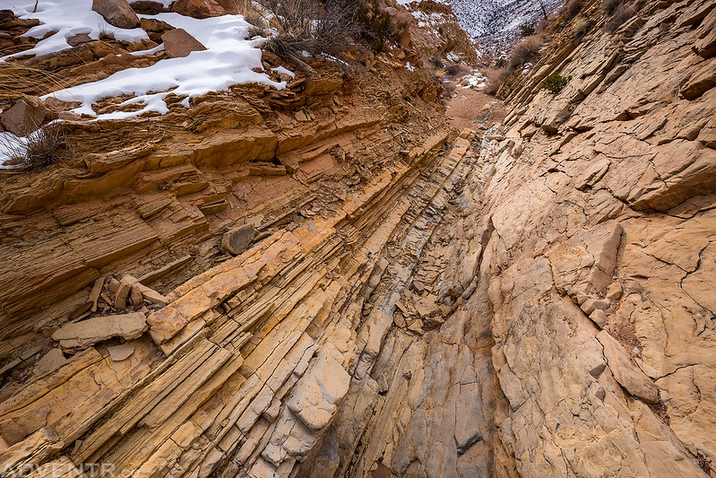
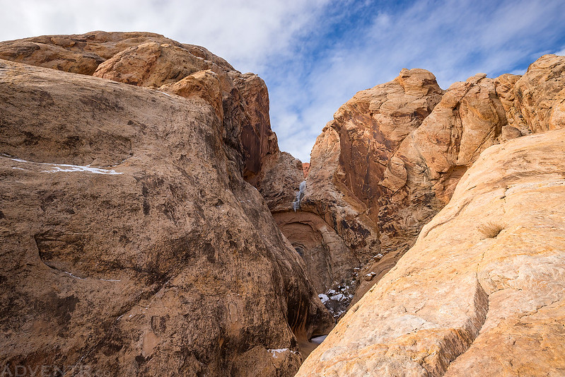
I took one short detour into a little side canyon that quickly ended at a dryfall.
The dryfall did have a little bit of ice hanging from it.
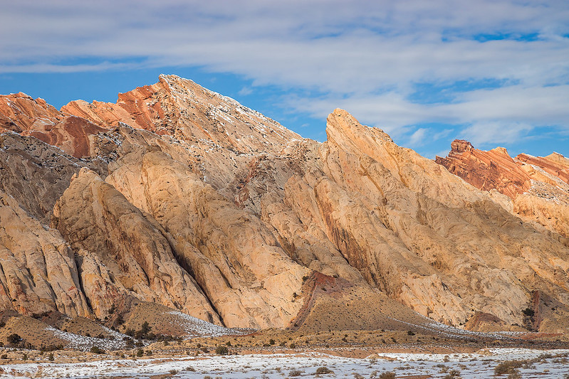
Walking along a colorful section of the San Rafael Reef before reaching my Jeep near Uneva Canyon.
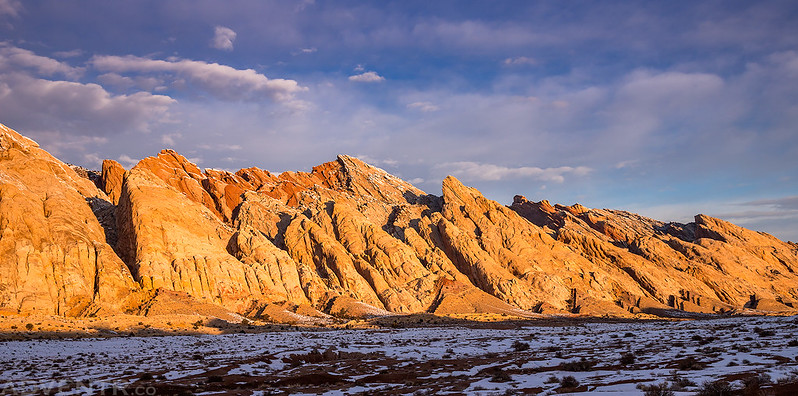
Here’s one last view of the San Rafael Reef as I drove back to I-70 through The Squeeze.
Before heading home for the day I stopped at Ray’s Tavern in Green River for a burger and fries and then continued on my way. It was a great way to end the day after another nice hike in the San Rafael Reef Wilderness!









Thanks Randy! Enjoyable read! Tom McC