Canyons of the Escalante | Southern Utah Wanderings in a Sandstone Wilderness
Sunday & Monday, September 29-30, 2019
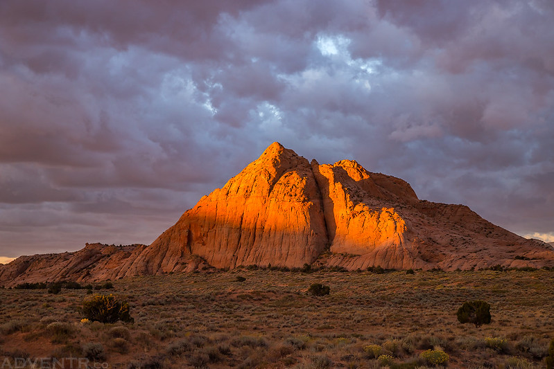
After spending Saturday hiking through Phipps Wash and Deer Canyon, we were ready to begin our overnight backpacking trip through the Escalante River Gorge on Sunday morning. The previous night we had found a campsite on Big Spencer Flats and had done our best to prepare for the high winds and storms that were forecasted overnight. It did stay pretty windy out for much of the night and there was a little on and off rain, but not enough that anything was still wet in the morning. It was still pretty windy out when we got up shortly before sunrise, but there were plenty of nice clouds in the sky and the sunrise was looking good, so we grabbed our cameras and took a few photos around camp.
A view from camp as the distant sandstone was first lit up by the sun.
This nearby peak looked great in the warm morning light.
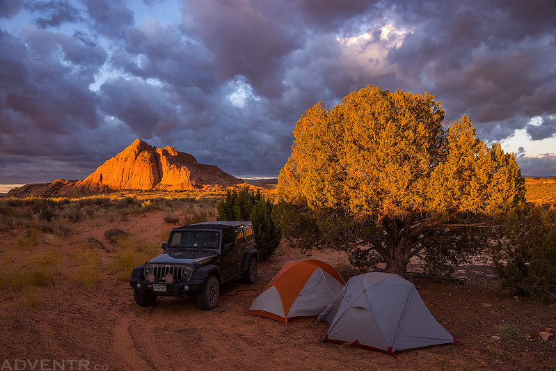
Here’s an overview of our campsite before we packed up for the day. We tried to use the large juniper tree and my Jeep to block some of the wind overnight, but I don’t think it helped too much. Although, I still managed to sleep pretty well overnight somehow?
After taking photos and packing up camp we hopped into my Jeep and headed back over to the Escalante River Trailhead. We packed our backpacks in the parking lot, left my Jeep there and took Jared’s car back to the town trailhead. It was still very windy as we started our hike along the Escalante River Trail and it would stay that way for most of the day, but the weather forecast predicted that the wind would finally die down in the evening, and we were hoping they were correct. Shortly after entering the canyon we would pass a group of backpackers on their way out, and those would be the only people we would see until we were closer to the other trailhead on Monday. This surprised me since I was under the impression that this was a pretty popular overnight backpacking trip. Maybe the wind kept everyone away?
We started our hike at the Escalante River Trailhead near town.
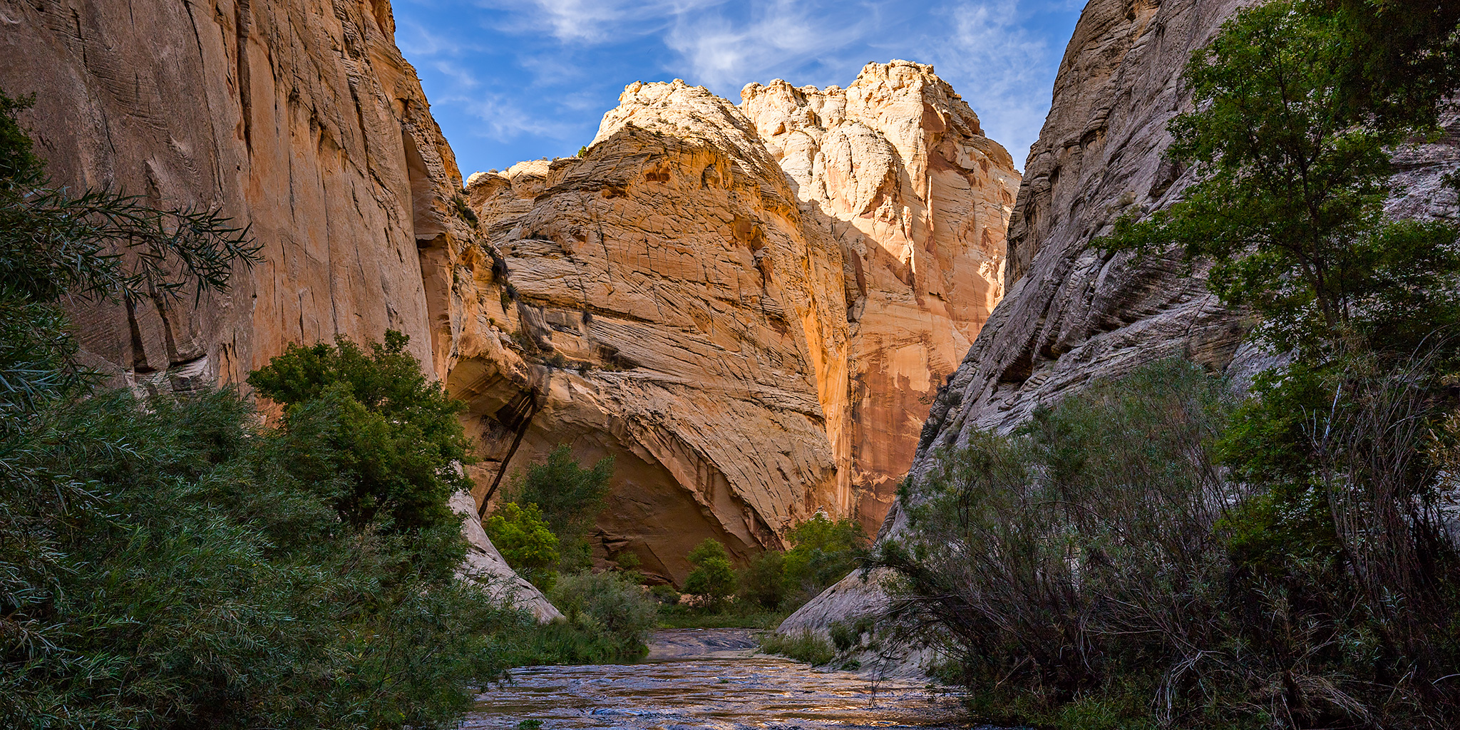
Entering the upper Escalante River Canyon.
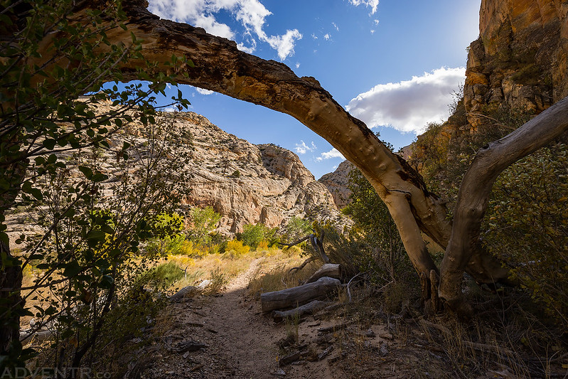
The trail passed under this fallen tree along the way.
This was one of the first petroglyph sites we visited in the canyon.
I caught this sunstar over the walls of the canyon as it continually seemed to get deeper and deeper.
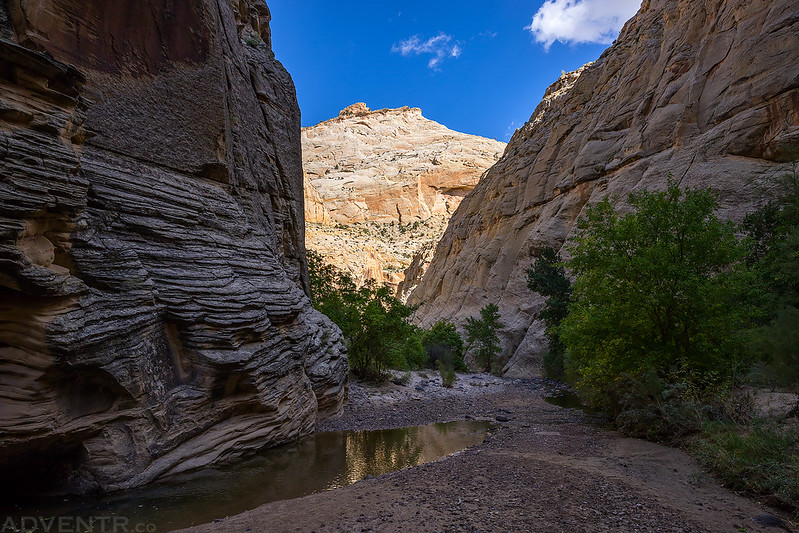
Hiking through the Escalante River Canyon.
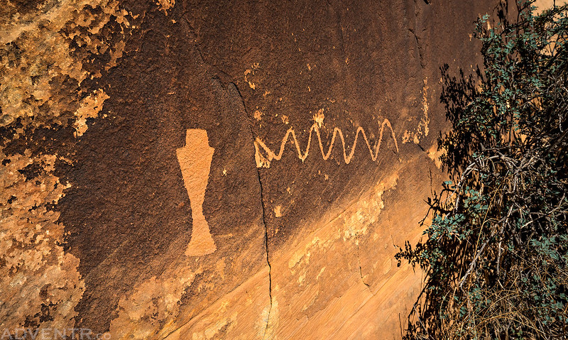
Another interesting petroglyph panel we stopped to check out.
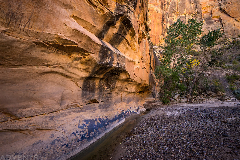
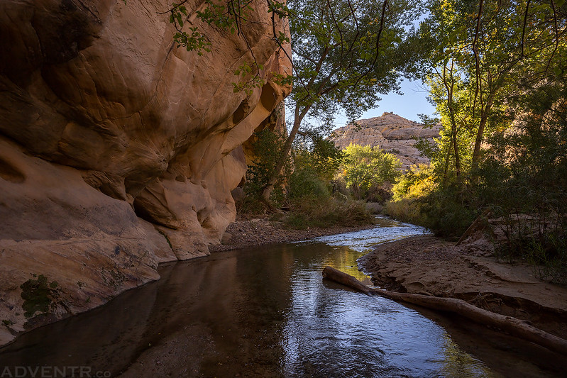
These ripples in the water were caused by the strong winds blowing through the canyon, not the movement of the water.
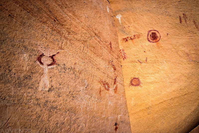
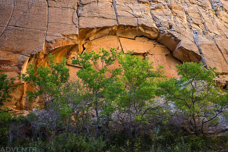
These big Fremont pictographs were located at the back of a very large alcove.
Here’s the view from inside the large alcove. We stopped and had some snacks for lunch while we were here.
We continued down the canyon on our way to Death Hollow, which is where we planned to spend the night.
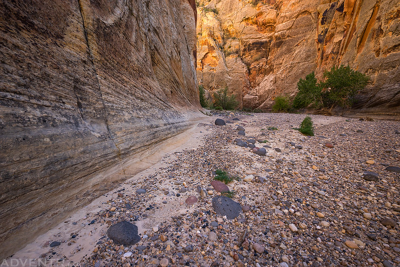
Soon the Escalante River dried up completely and we hiked down the dry river bed for a couple more miles.
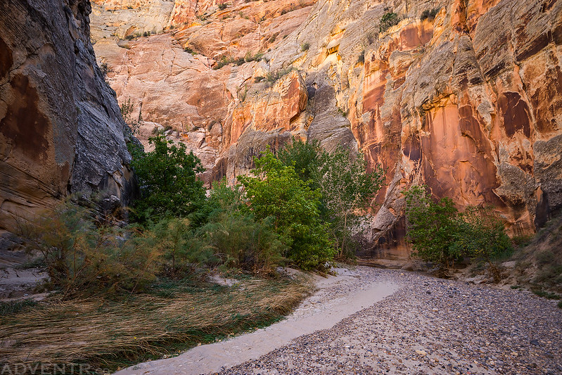
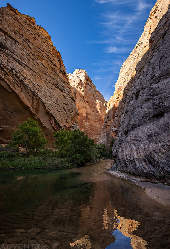
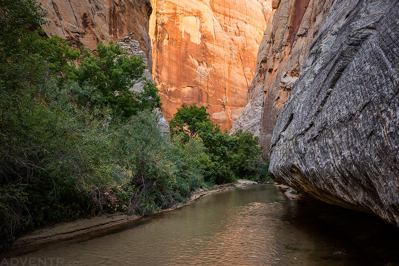
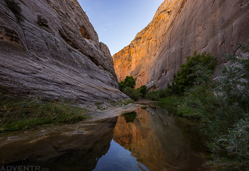
The light was looking nice in some of the bends of the canyon that were in the shade.
The Escalante River Gorge
Along the way we spotted a shelter that contained a bunch of little pictographs and plenty of hard-to-see petroglyphs, too.
Walking along the rocky river bed.
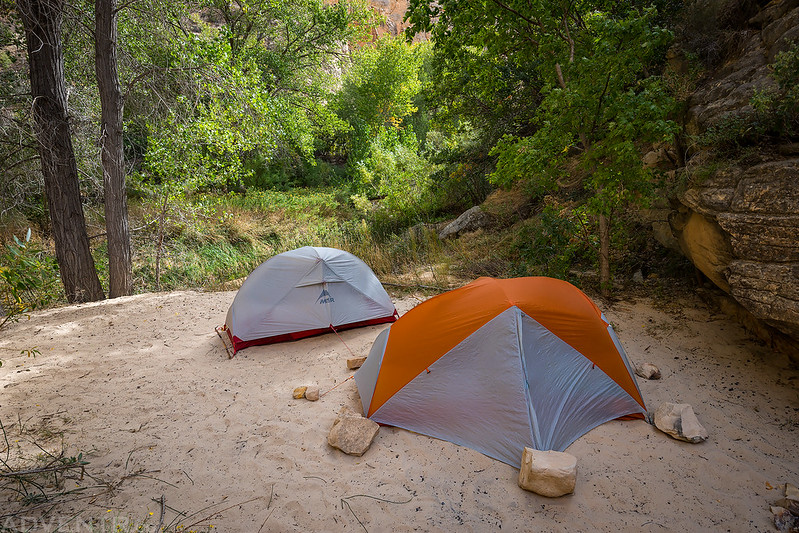
When we reached the confluence with Death Hollow we setup our campsite for the night. There was no one else around, so we had our choice of sites, and this one seemed to be the best protected from the wind. Sand was blowing through all the other campsites pretty good at this time.
After camp was set up we started our evening hike up lower Death Hollow until we began to run out of daylight.
We only ended up hiking up Death Hollow about a mile and a half or so, but it was an amazingly beautiful canyon! I would definitely like to return again with a little warmer weather.
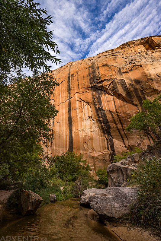
I liked the evening light on this big striped wall.
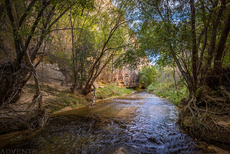
Jared hikes through the water ahead of me. We stayed in the water for the entire hike to avoid the ample poison ivy found along the banks of the creek.
For much of the hike Mamie Creek was only about ankle-deep to knee-deep, but there were a couple deeper sections and some really deep holes we had to watch out for.
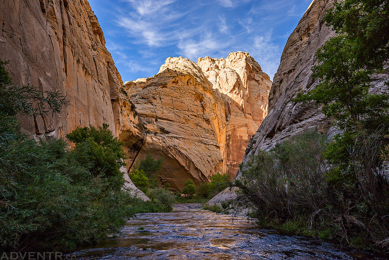
Death Hollow Cathedral
It was a beautiful evening in Death Hollow, and these were some of the last clouds we would see in the sky for the remainder of the week!
Arch & Trees
Headed back to camp for dinner as the light faded.
We had dinner when we returned to camp just before sunset, and thankfully the weather forecast was right because soon the wind finally started to die down! It would be the first calm night of the trip!
We woke up on Monday morning at sunrise, packed up camp and then continued our hike downstream. Now that the Escalante River was picking up water from Death Hollow there was much more water in the channel. It was a bit cold walking in the water this morning, but it beat having to bushwhack through the brush along the banks!
Hiking through the cold water of the Escalante River in the morning.
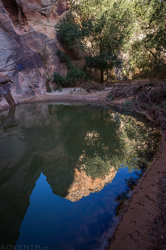
A reflection in a pool that we passed along the way.
We spotted these red Fremont pictographs on the wall of the canyon.
After passing under Cliff House Arch we got a view of the ruins that gave the arch its name.
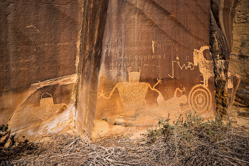
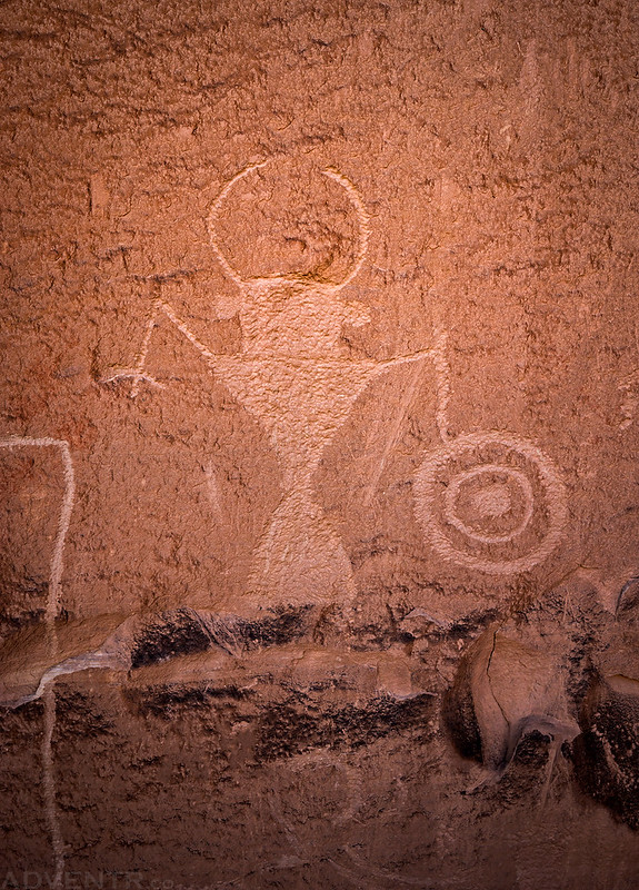
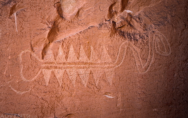
Then we visited this nearby petroglyph panel. See the next couple of photos for close ups of different parts of the panel.
Fun In The Sun
Fremont Figure
Bear Paws
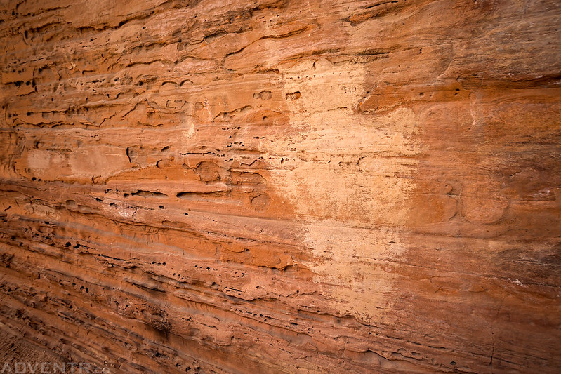
I have no idea what this is… do you?
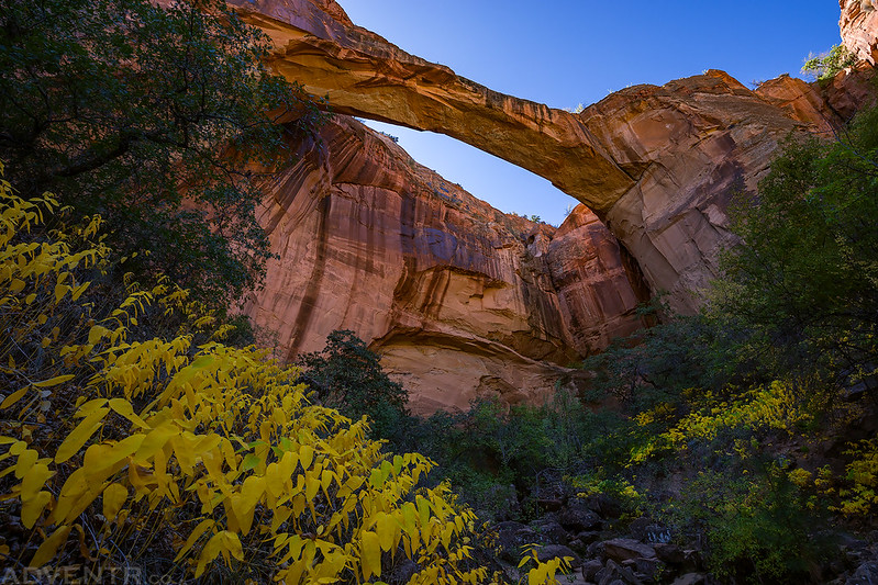
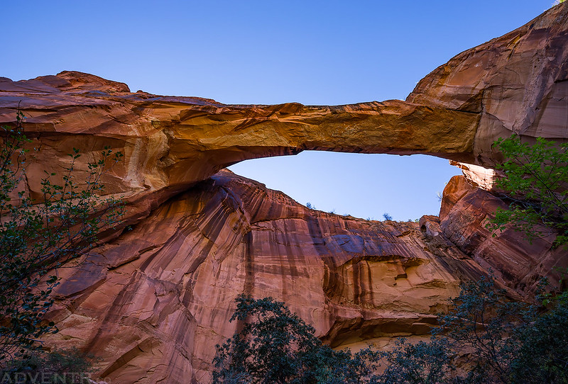
Next, we continued down-canyon a short distance to visit Escalante Natural Bridge.
There was a colorful display below the large natural bridge.
Looking up from right below Escalante Natural Bridge.
Escalante Natural Bridge is a popular destination for a day hike, so from this point on there was an easy trail to follow back to the trailhead, and we made good time. We passed a couple of hikers along the way on this section of the trail.
After returning to my Jeep we decided to change up our plans a little bit. Originally, we were going to drive straight to the Boulder Mail Trail Trailhead near the Boulder Airport and start another overnight trip on that trail right away, but we decided that we didn’t want to carry our heavy backpacks on that trail. So instead, we planned to camp near the trailhead and would hike it fast and light in a day on Tuesday. Since we now had extra time on our hands this afternoon, we headed into Boulder and grabbed some burgers at the Burr Trail Grill before searching for a campsite and watching the sun set.



















Great job as always. I like the rock art, too. Unusual.
New book by David Roberts about Escalante and Dominguez’ wanderings in Four Corners.
Just saying because he mentions that many local people weren’t aware of why some areas bear the name Escalante.
I’m currently in the middle of reading that book right now! I’ve ready a number of books about Dominguez and Escalante before, though.
Looking forwards to the next instalment(s). I hear you about the winds! They were raging and we had overnight showers on the 28th below the Swell, the first night of our annual desert trip, and continued to be very strong, (but dry) the next day on a hike in the Moab area. Fortunately they abated in the early hours of the 30th in Bears Ears.