Black Canyon of the Gunnison National Park | Saturday, May 16, 2026
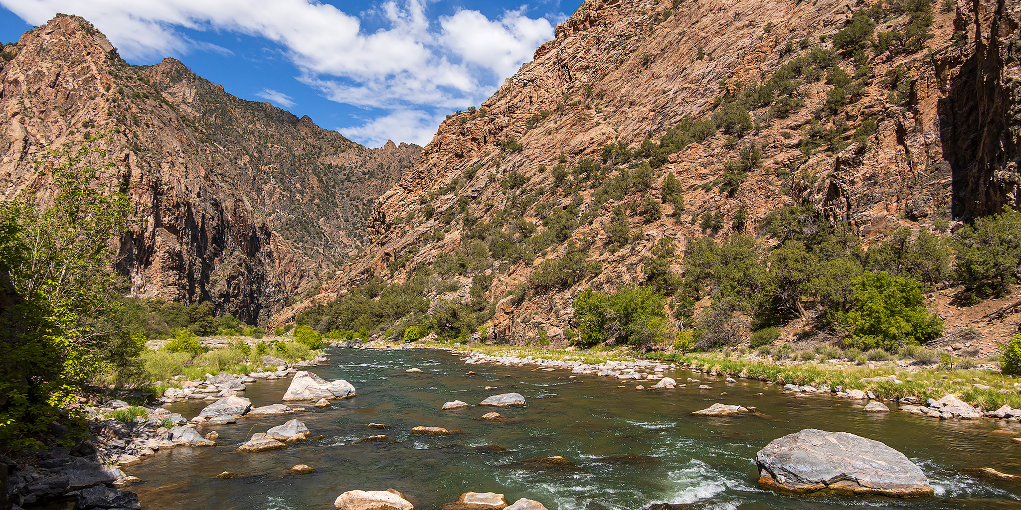
After hiking into the Black Canyon of the Gunnison last year via the Gunnison Route I believe I said that I wouldn’t be interested in hiking any of the other Inner Canyon routes into the canyon, but I guess I lied because earlier this year I had the strange desire to give another of the Inner Canyon routes a try. Currently the only other route that is open from the South Rim is the Warner Route because of the South Rim Fire last summer, so back in early April I grabbed a Wilderness permit on Rec.gov so I could give this one a try. Of course, not only is this route the longest one at about 2.75 miles each way, but it also has the most elevation change at over 2,700 feet! I asked my friend Jackson if he would be interested in joining me this time and thankfully he was up for the challenge! We left home bright and early on Saturday morning and were on the trail from the Warner Point Trailhead shortly after 7:00am.
Leave a Comment