
Colorado Adventure 2009 | Day 7
Friday, August 7, 2009
This day ended up not going as I had originally planned….but in the end it turned out to be a pretty good day.
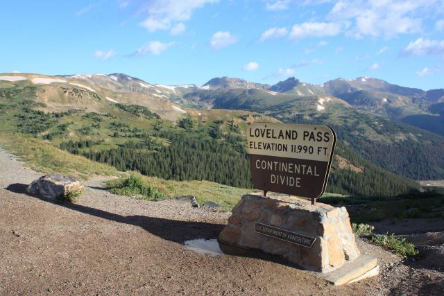
I started out heading over Loveland Pass on my way to Georgetown.
My original plan for the day was to start out on Guanella Pass, however, when I got to the start of the road, they were just closing it completely for construction. It would not be opening up again until 11am, which left me three hours to find something else to do.
So I ended up heading up…
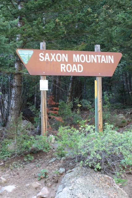
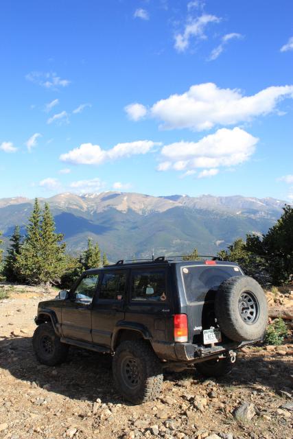
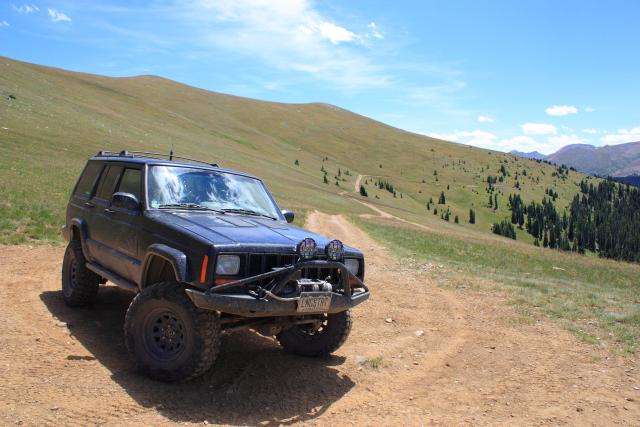
Saxon Mountain….this has to have been one of the bumpiest trails I have ever been on!
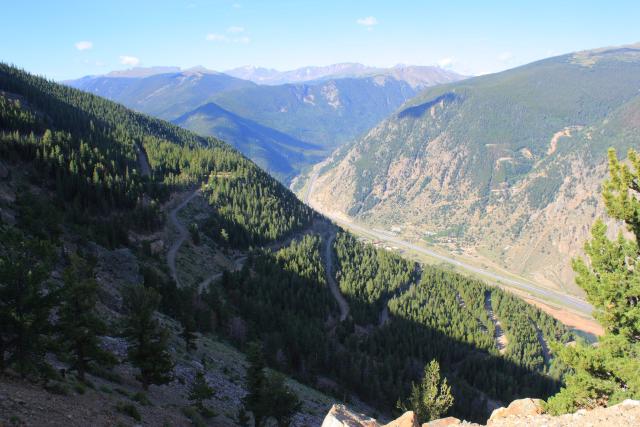
Looking down on the switchbacks of Saxon Road and I-70.
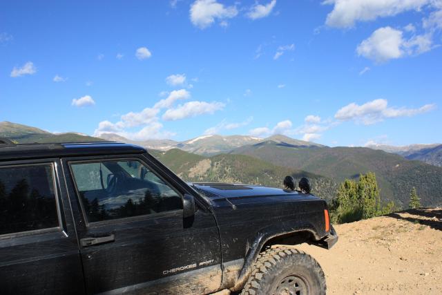
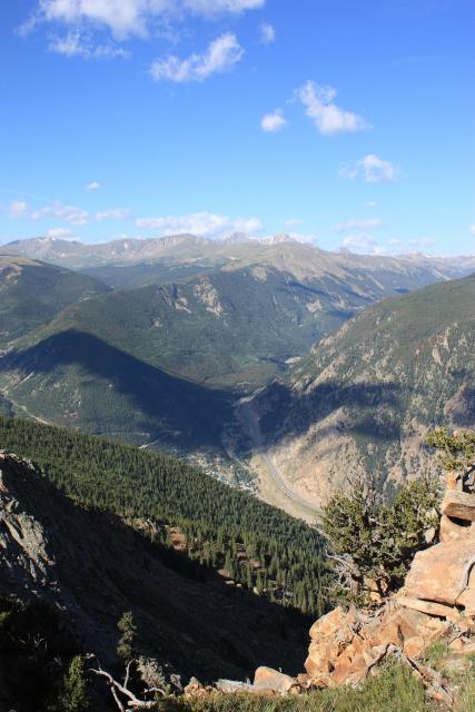
At the top of Saxon Mountain
View down on Georgetown from the top.
After backtracking from the top, I followed the sign towards Cascade Creek, and then took Ute Creek back down to the highway.
By the time I made it back to Georgetown, it was almost 11:00, so I grabbed a bite to eat for lunch until Guanella Pass was open again. Unfortunately, I was not the only one waiting for the road to open up, and I got stuck in a line of vehicles heading over the pass. That, plus the construction going on made this road less than enjoyable for me. My next plans were to head up to Waldorf and Argentine Pass, but because of the construction and finding out the road would again be closing from 1pm-3pm, I decided to avoid this whole mess altogether for the rest of the day and continue on to US 285.
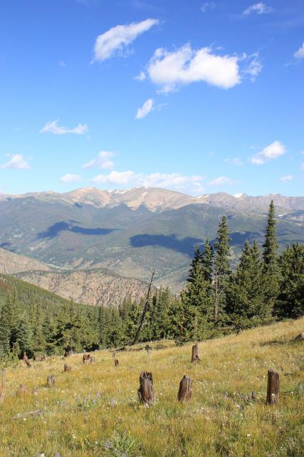
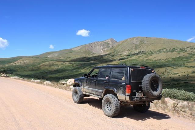
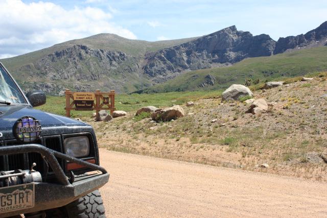
A few photos from the top of Guanella Pass (A very popular place it seemed…..)
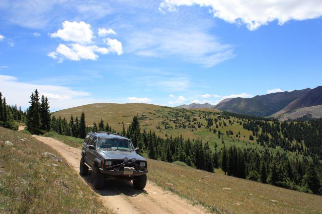
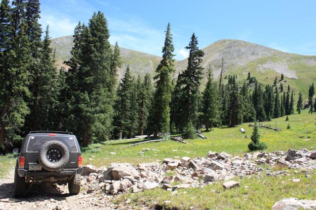
After making it to US 285, I took a right and made my way back to Georgia Pass. Once at the pass I took another right and headed up the Glacier Peak trail.
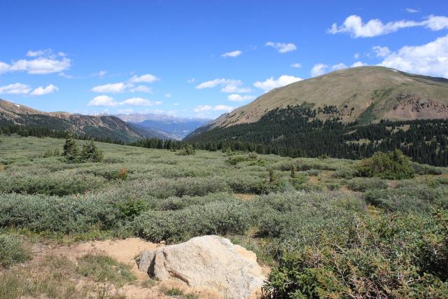
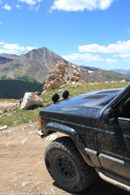
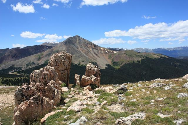
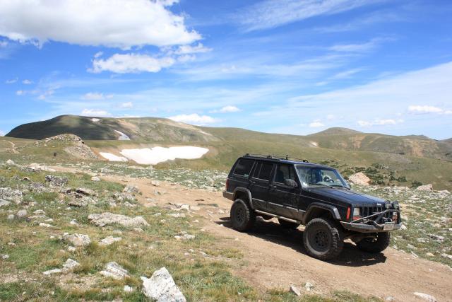
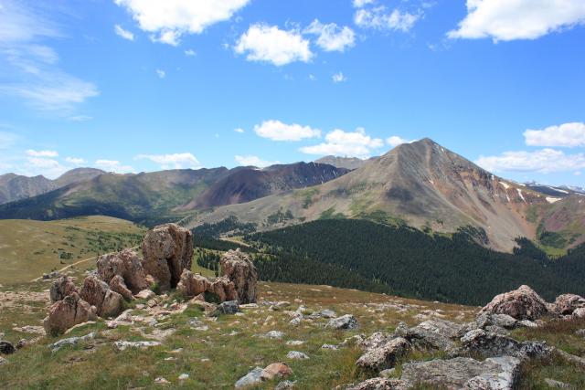
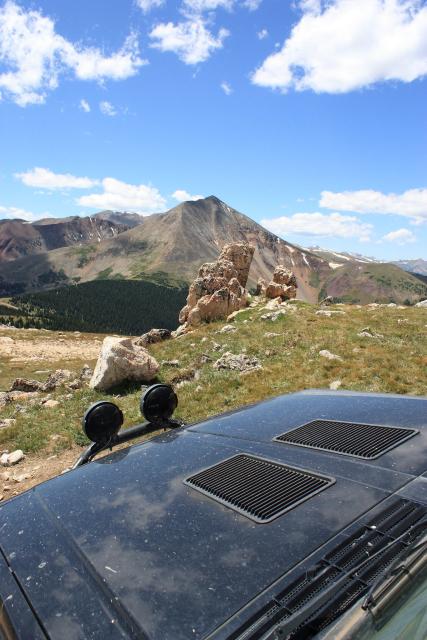
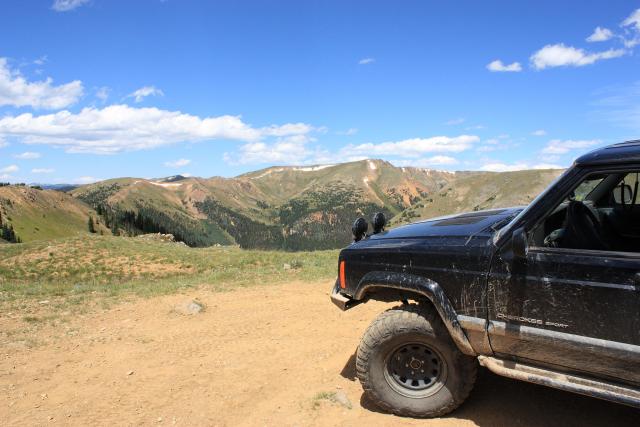
Great views from an overlook on the Continental Divide near Glacier Peak. There was a cool rock formation I took a few photos of…
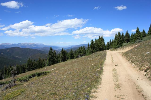
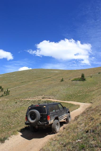
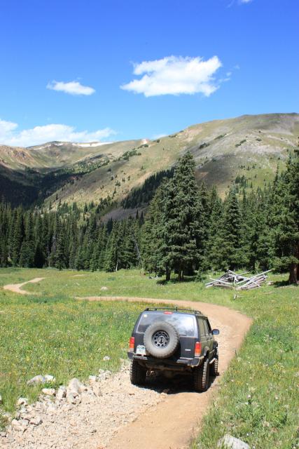
Along the Glacier Peak trail. There were a few pretty off-camber sections.
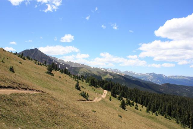
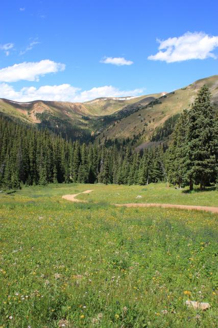
I stopped at another overlook
Headed down to the Middle Fork of the Swan River.
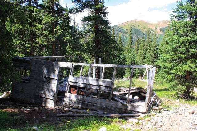
Cabin ruins along the way.
Shadowy ruins.
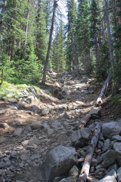
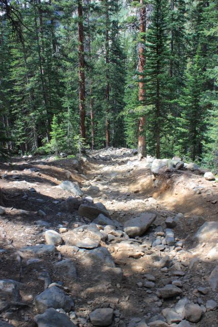
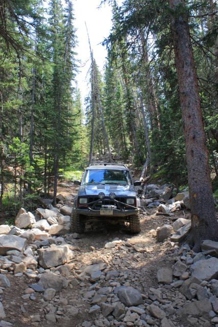
Before I could meet back up with the Middle Fork of the Swan River trail again, I would have to descend ‘Number 10 Hill’ which is also known as ‘SOB Hill’. I wasn’t sure what to expect, but it turned out not to be that difficult. It was probably a little easier because I was heading downhill, but I don’t think I would have had any issues climbing up it either. It was pretty steep and rocky, though.
A few photos of Number 10 Hill (SOB Hill).
Shortly after reaching to bottom, I met up with the Middle Fork of the Swan River trail yet again…
Day 7 to be continued….